Amposta - Sant Jaume d'Enveja - Poble nou - La Ràpita
Cycling route through the Ebro Delta Natural Park
Route characteristics
- 44,3 km
- 77 m
- 14 m
- -10 m
With traffic Motorized vehicles are frequent.
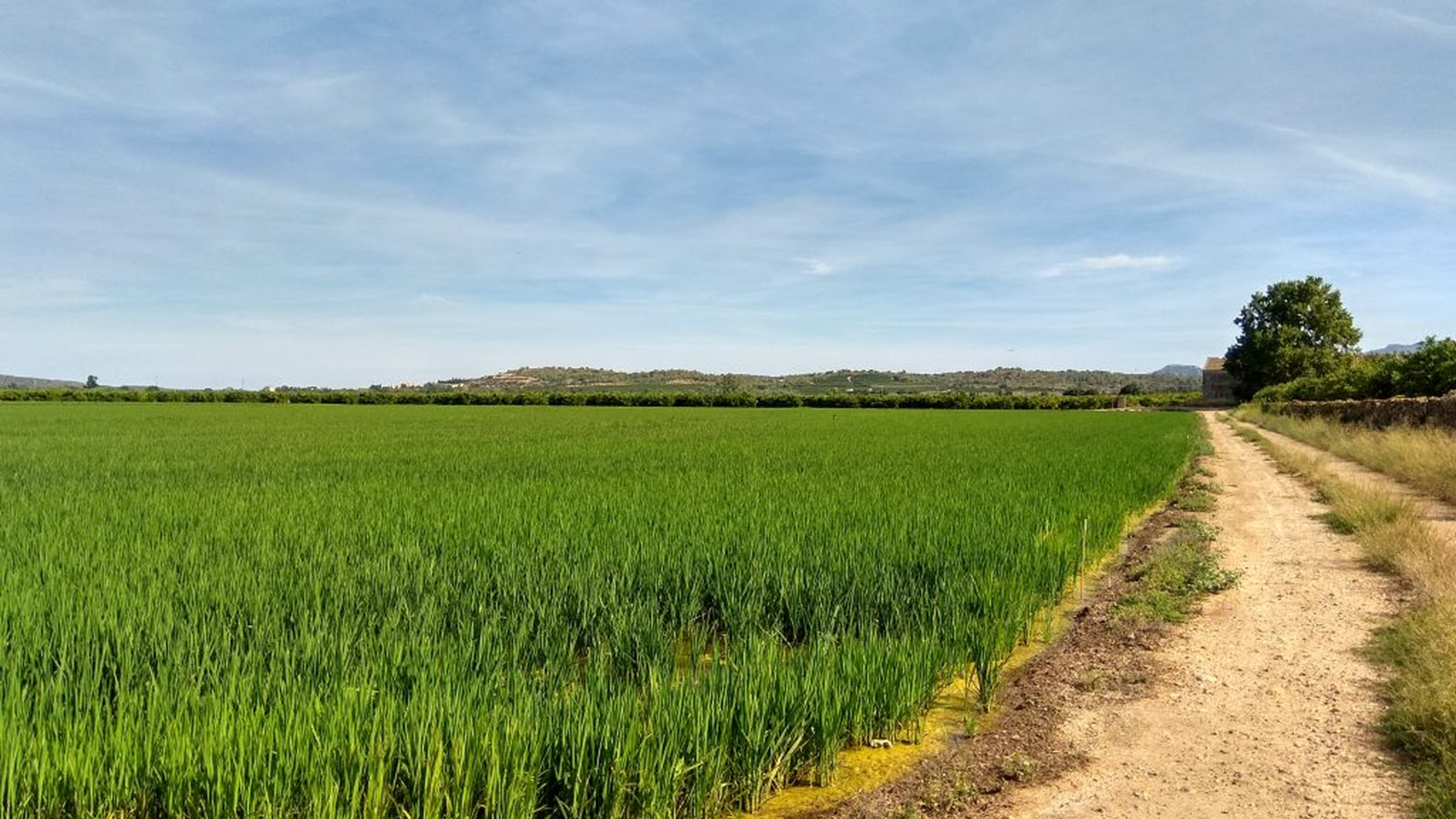
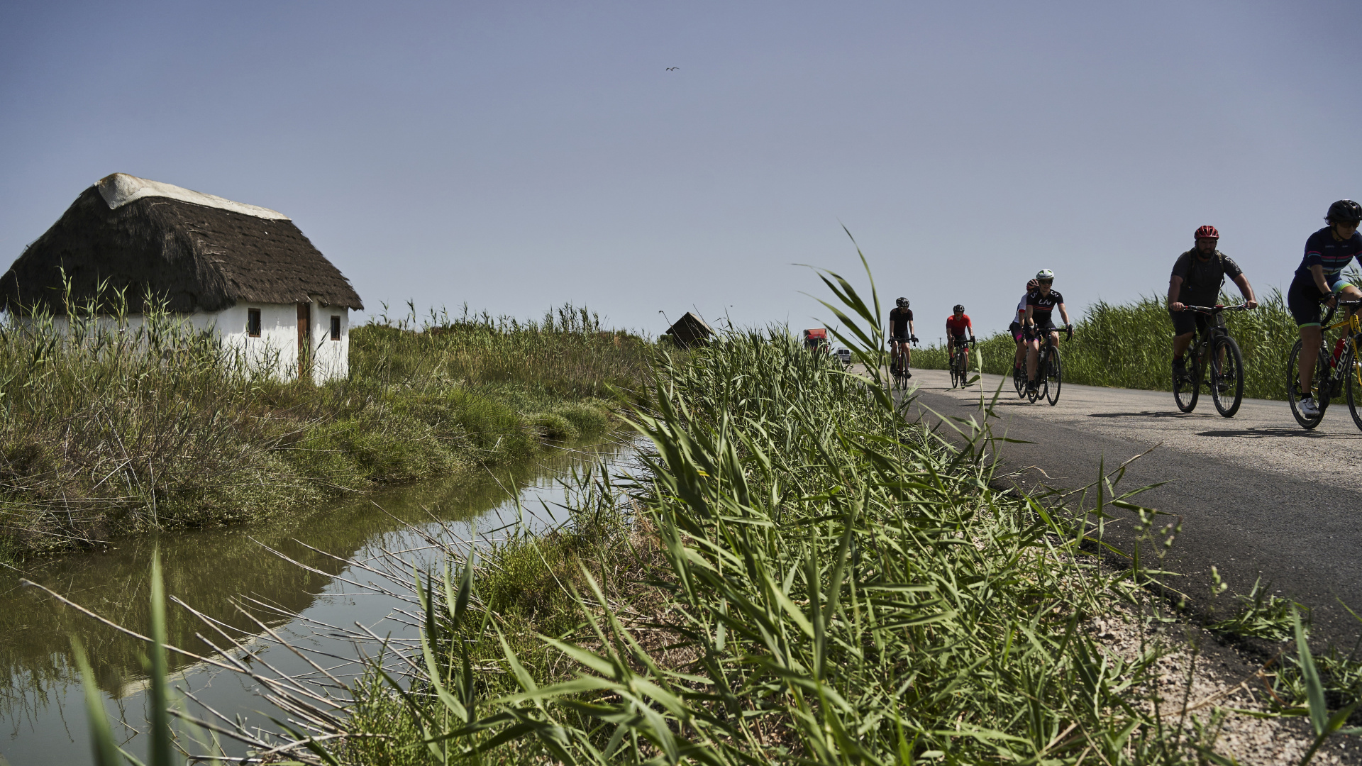
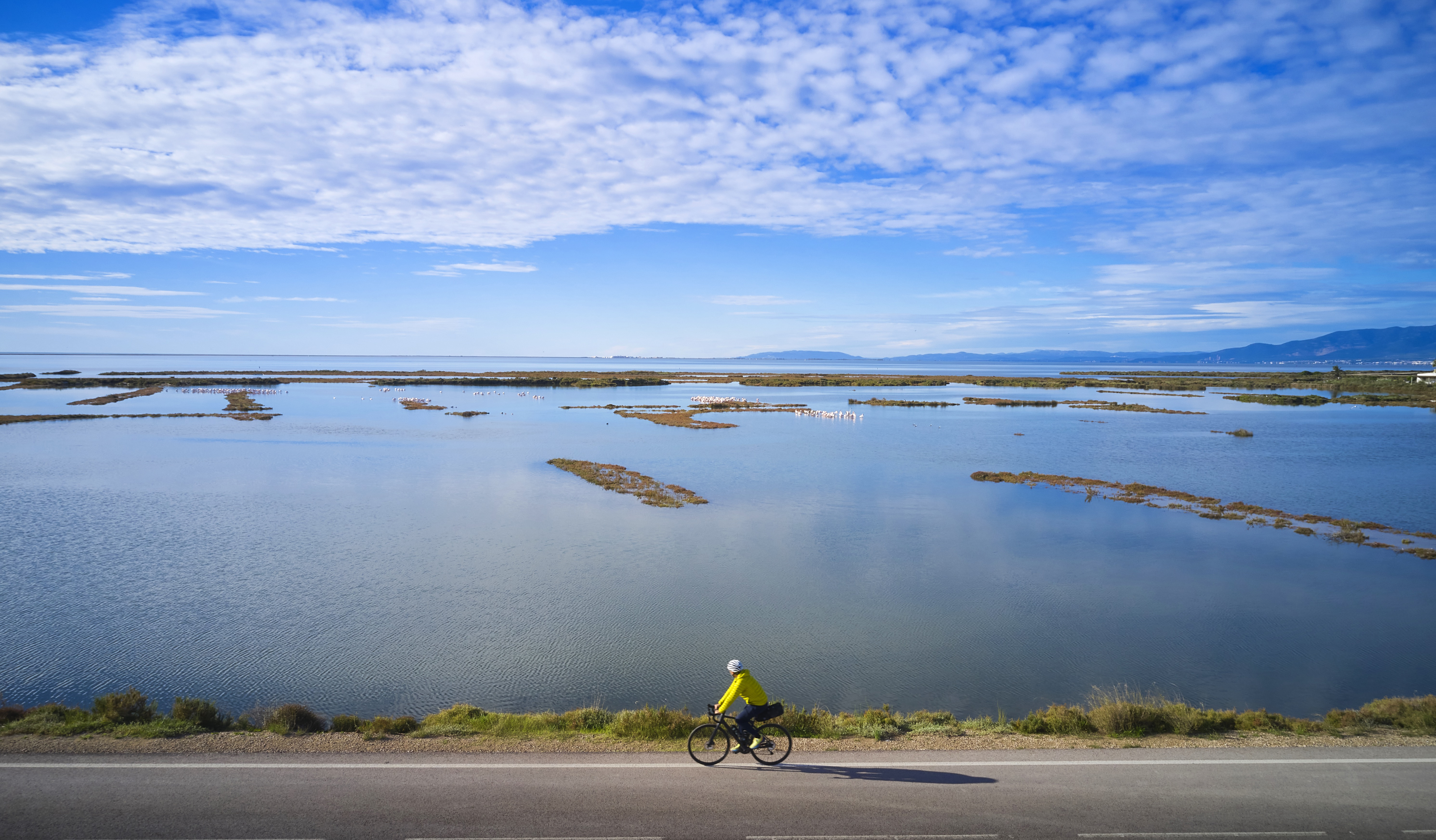
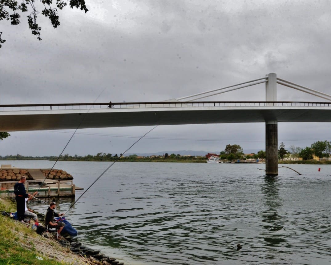
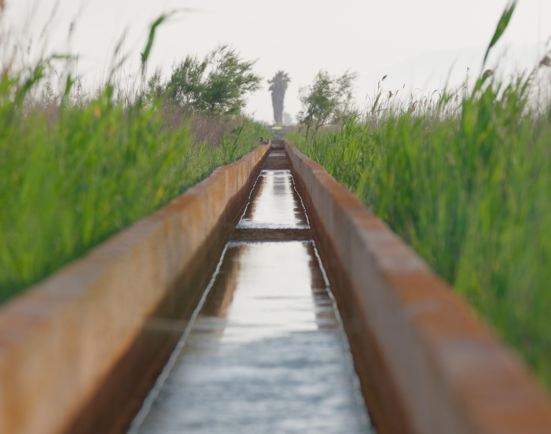
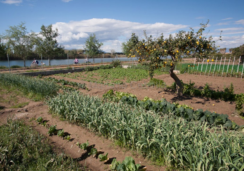
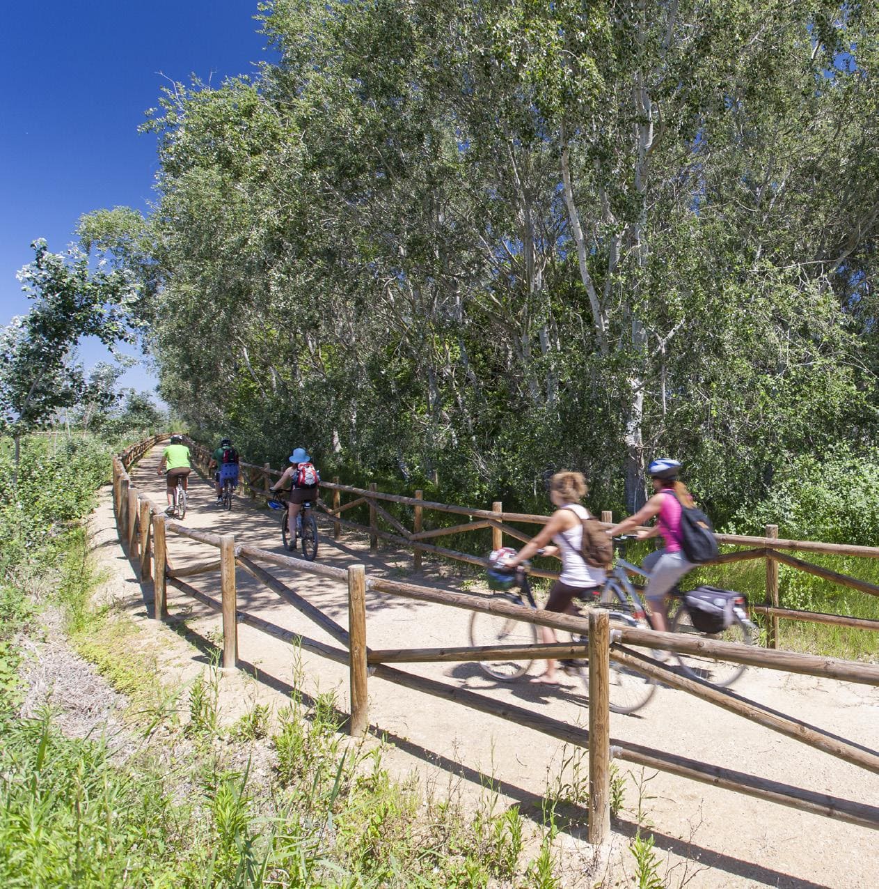
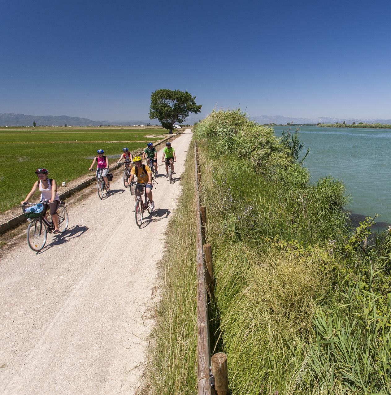
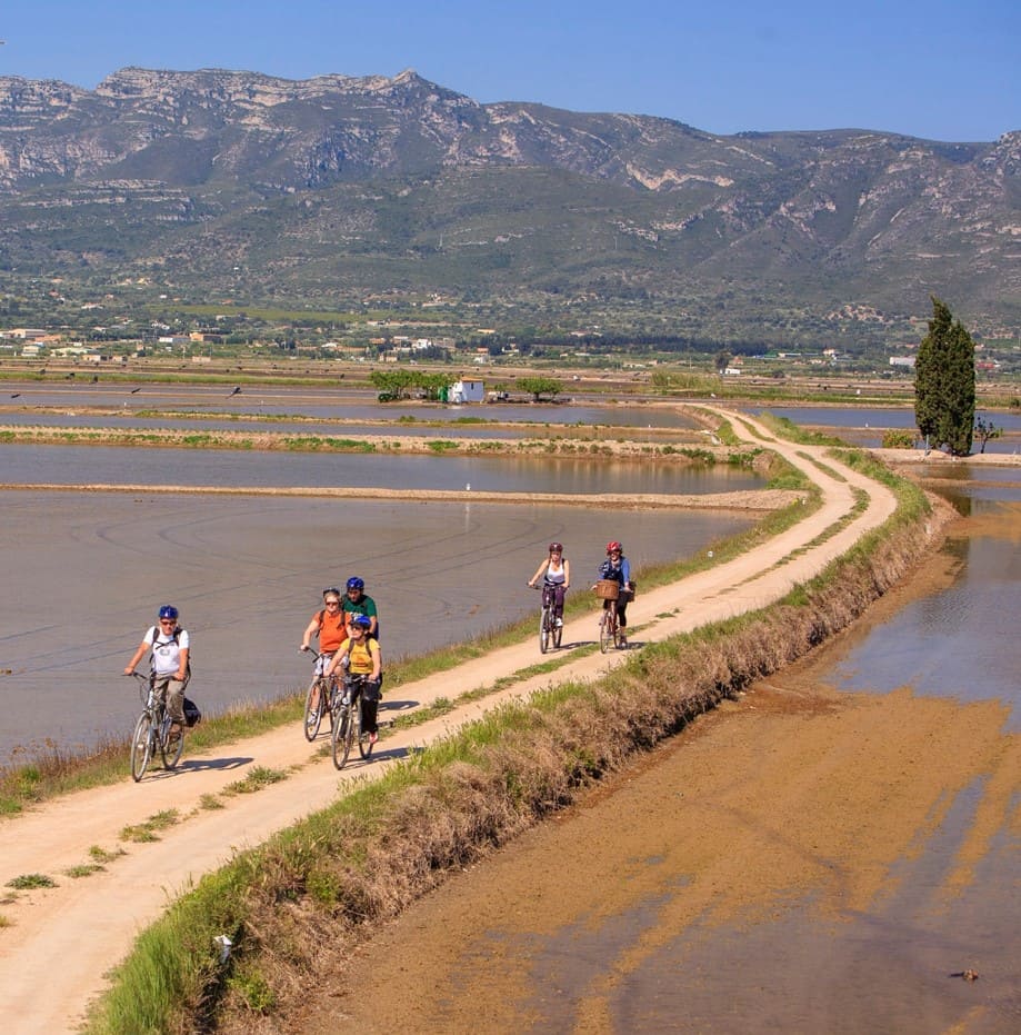
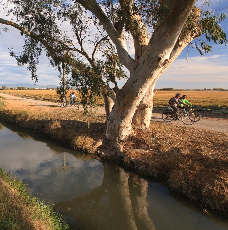
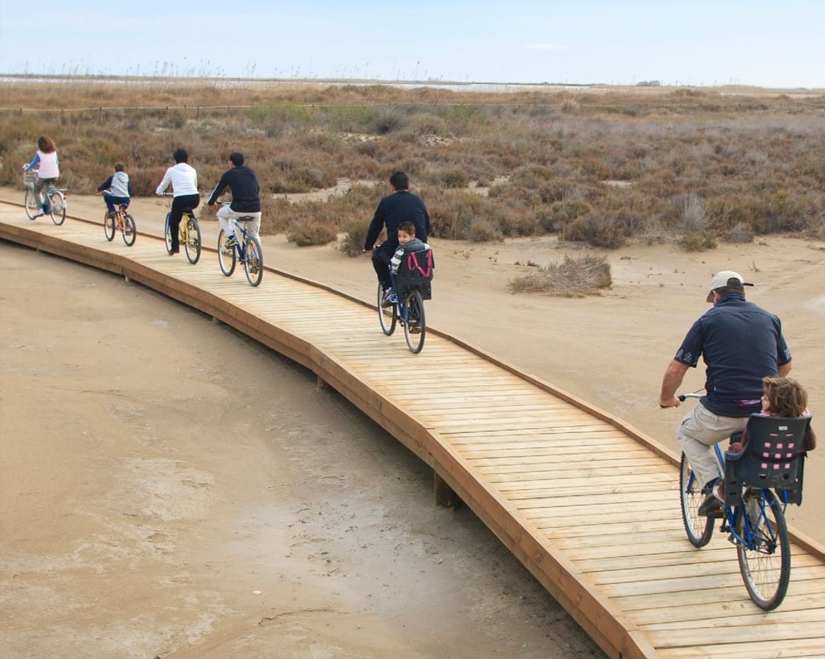
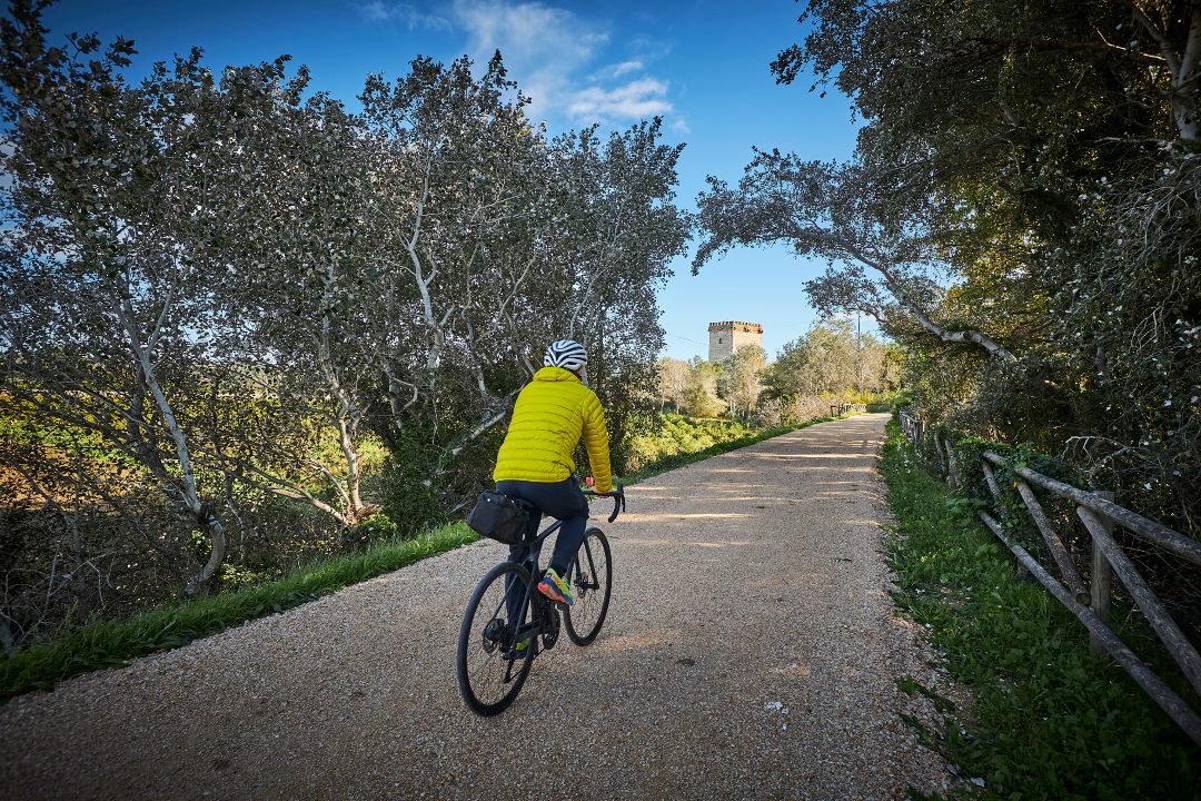
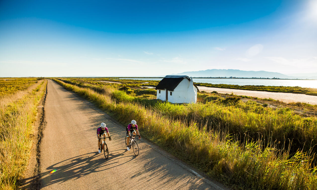
Linear itinerary that links Amposta from the Sínia area to Ràpita, crossing some of the most emblematic landscapes of the Ebro Delta. After leaving Amposta, the route heads towards Sant Jaume d’Enveja, passing along the riverbank over the Lo Passador bridge, from where you can enjoy a wide panorama of the final course of the Ebro and the extensive rice fields that surround it. The route continues south between fields of crops and irrigation canals until reaching the Eucaliptus beach, an open and wild space where the sea and sand draw a wide and changing horizon.
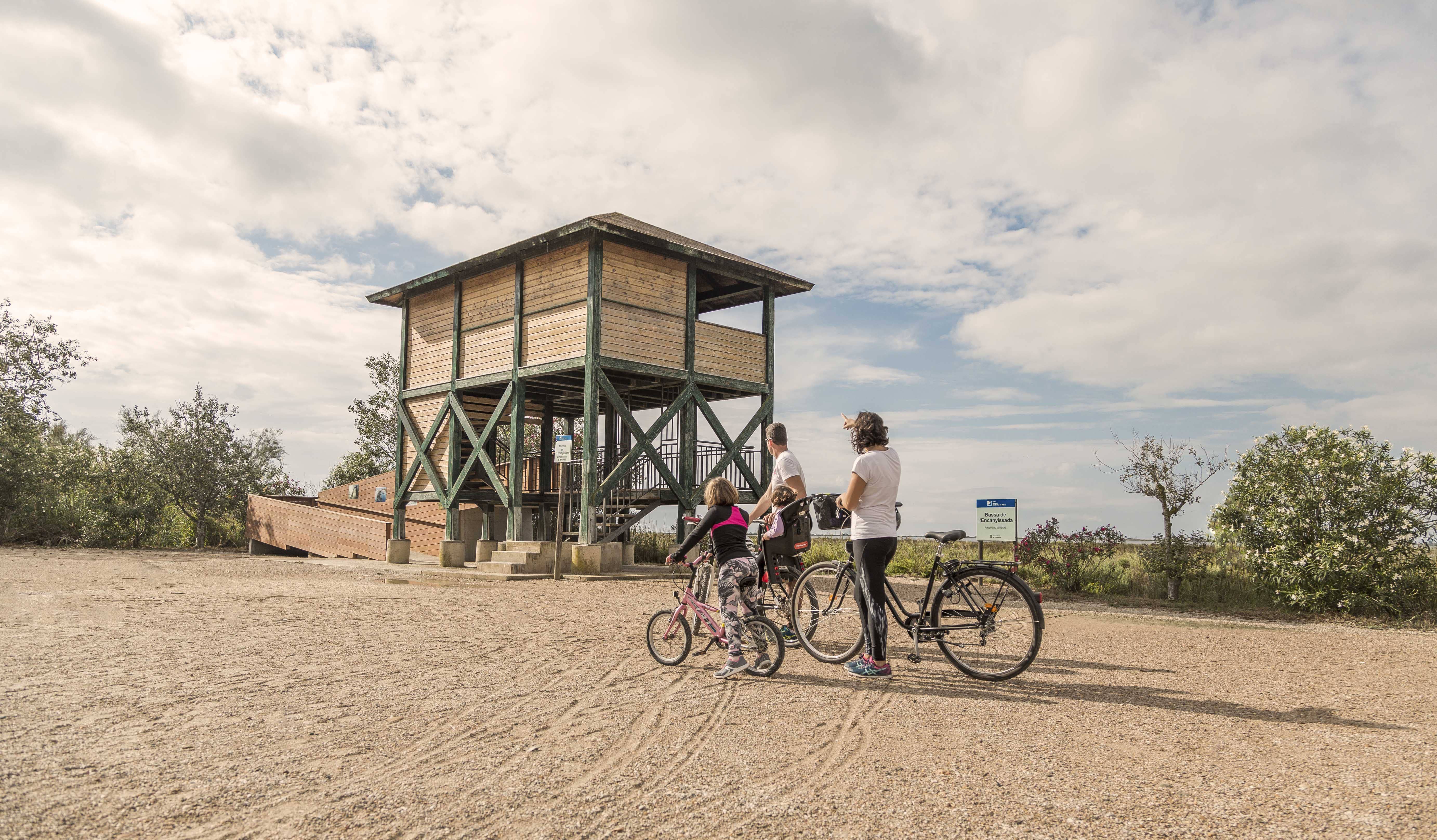
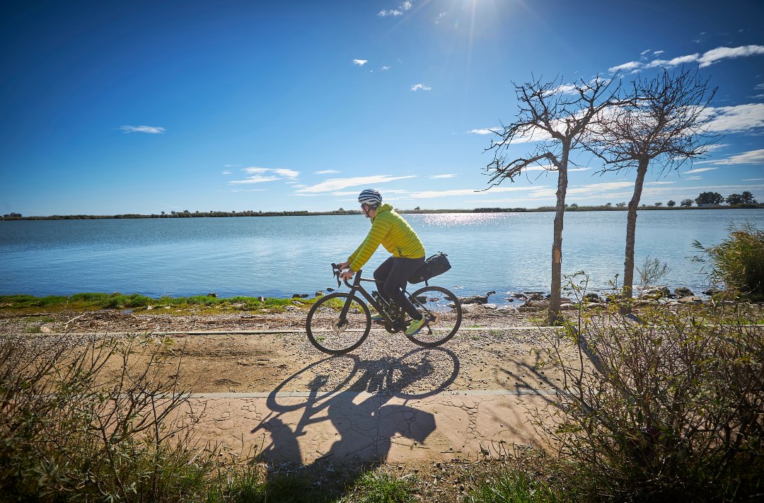
From the seafront, the itinerary goes into Poblenou del Delta, a small town of white streets and palm trees that preserves the tranquil essence of the delta villages, walking around Escanyissada. Between rice fields, lagoons and wetlands, the route advances towards La Ràpita, with the constant presence of the Alfacs Bay and the fishing and shellfishing activity that characterizes this sector of the coast.
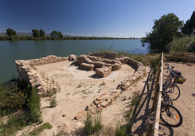
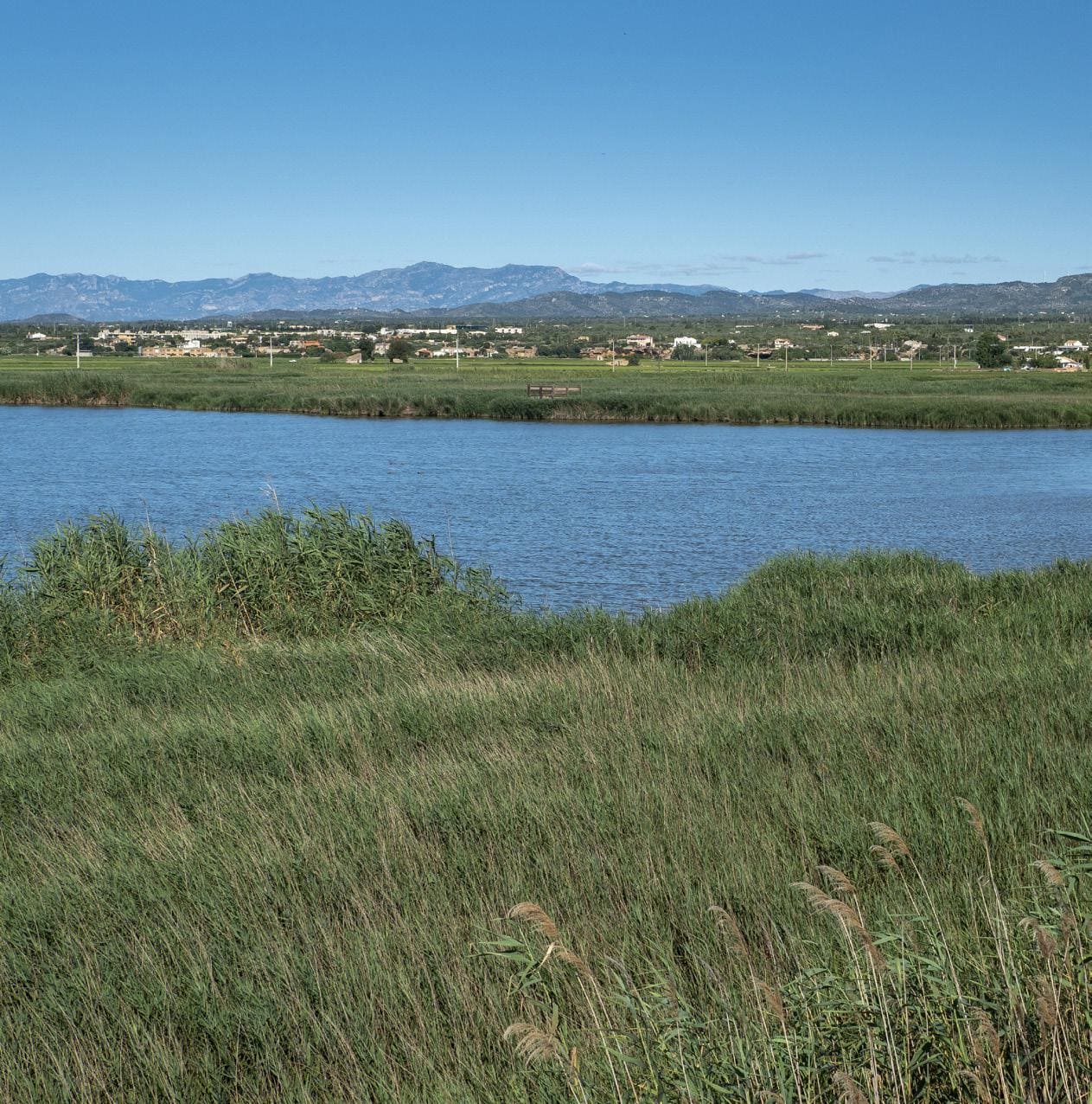
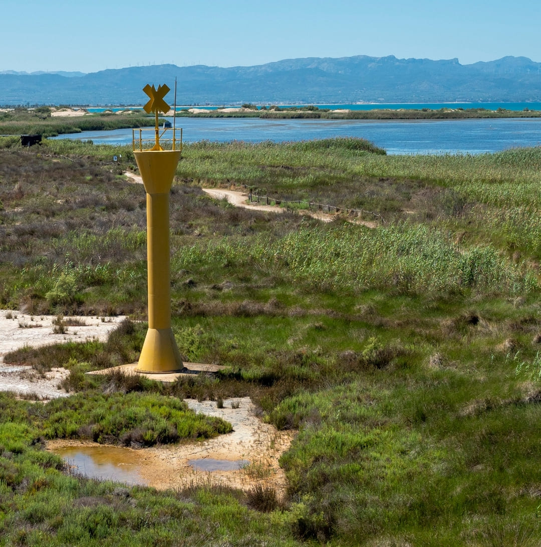
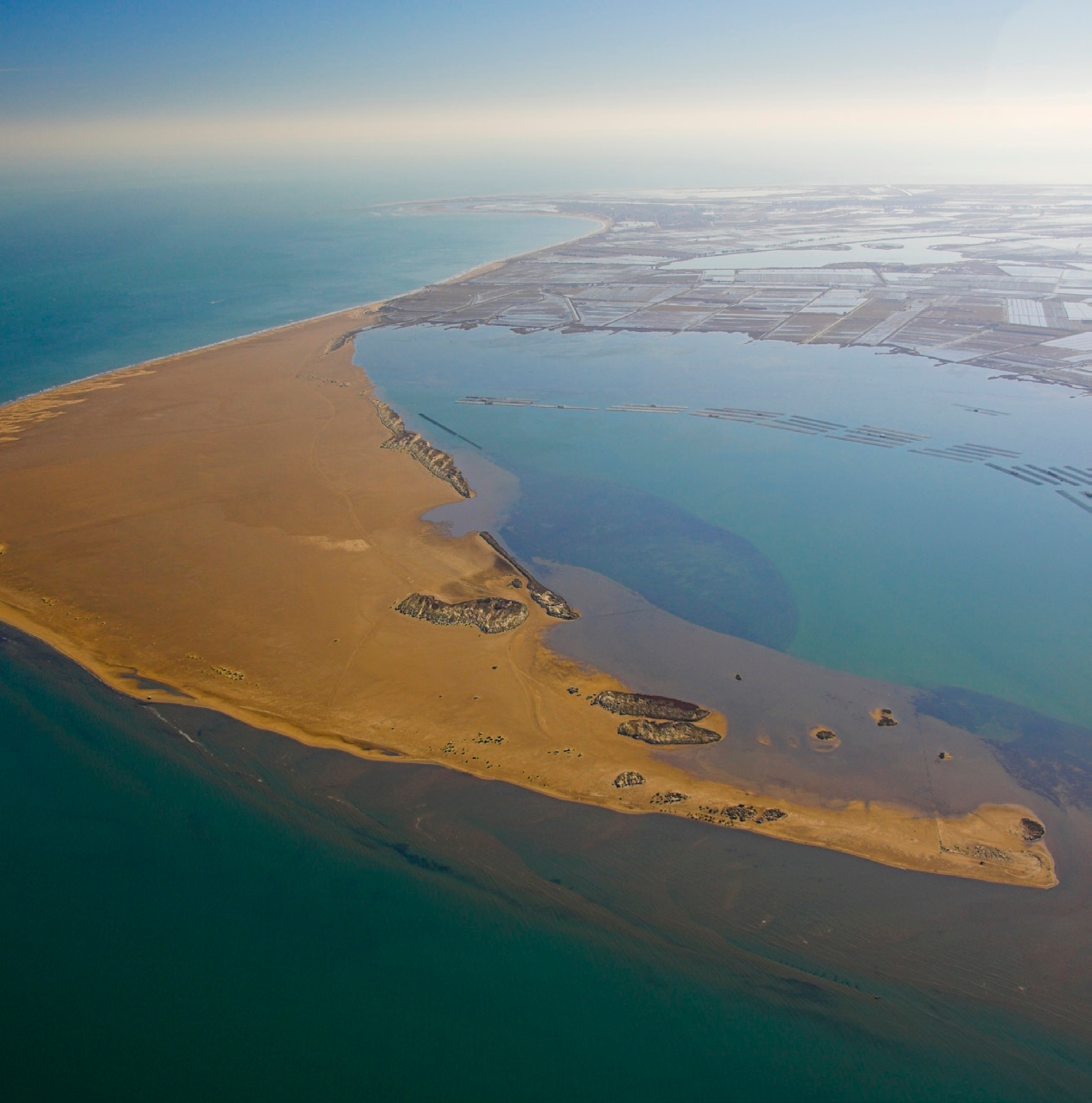
The Ebro Delta is one of the most unique natural spaces in the western Mediterranean. The combination of river, sea, bays, beaches and rice fields creates a landscape mosaic of high ecological value, where waterfowl, halophilic flora and intense human activity linked to the land and the sea coexist. This route allows you to discover, step by step, the balance between nature and culture that defines the identity of the Delta and its lifestyle.
The Sínia
A stone construction with two wheels, it was originally intended to raise the water from the river for agricultural use. Waterwheels were very widespread during the centuries of Muslim occupation.
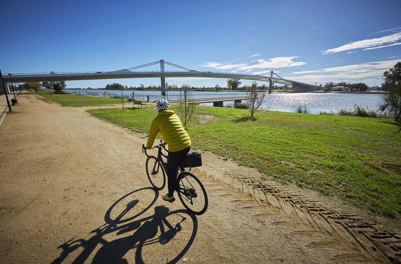
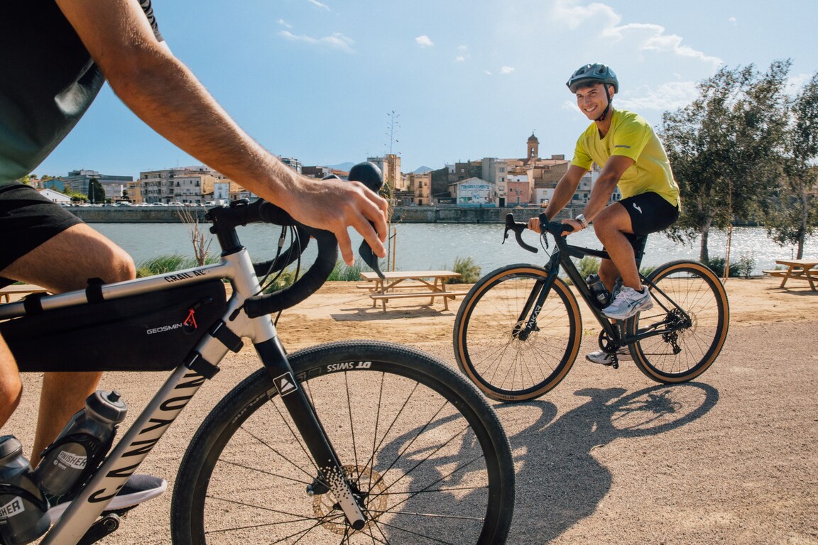
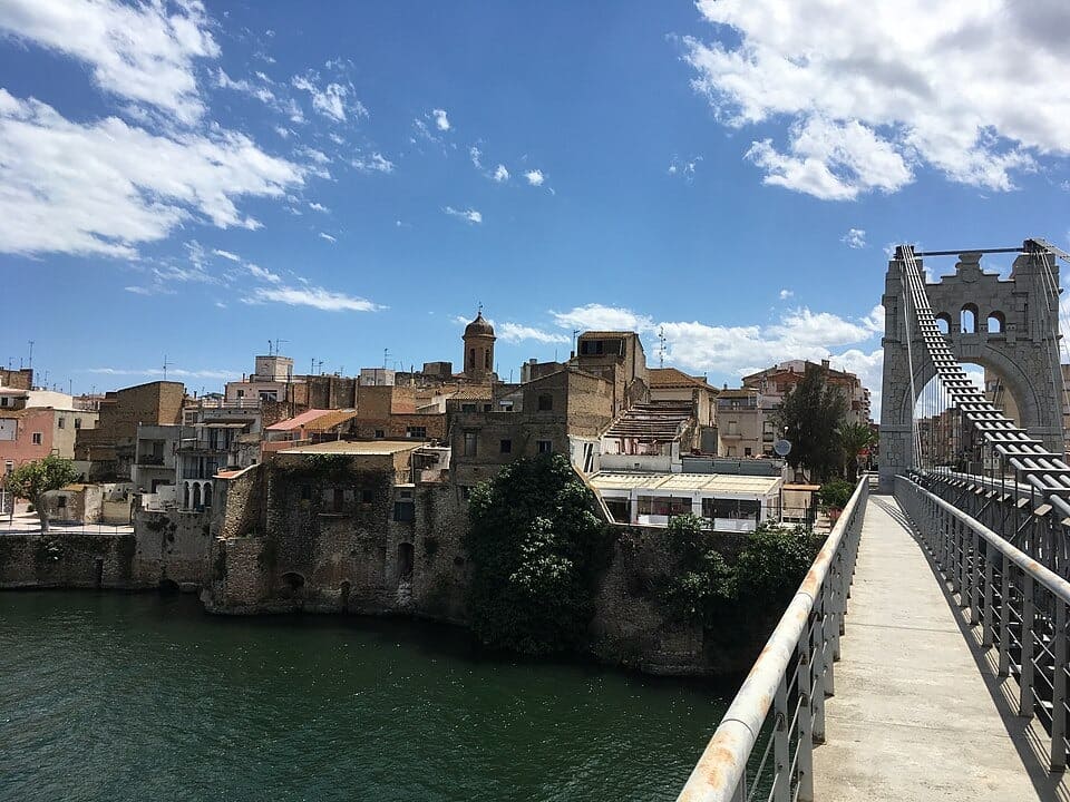
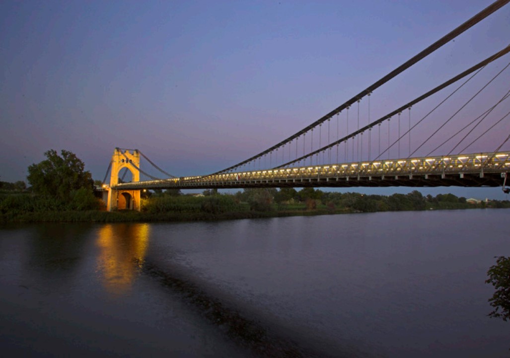
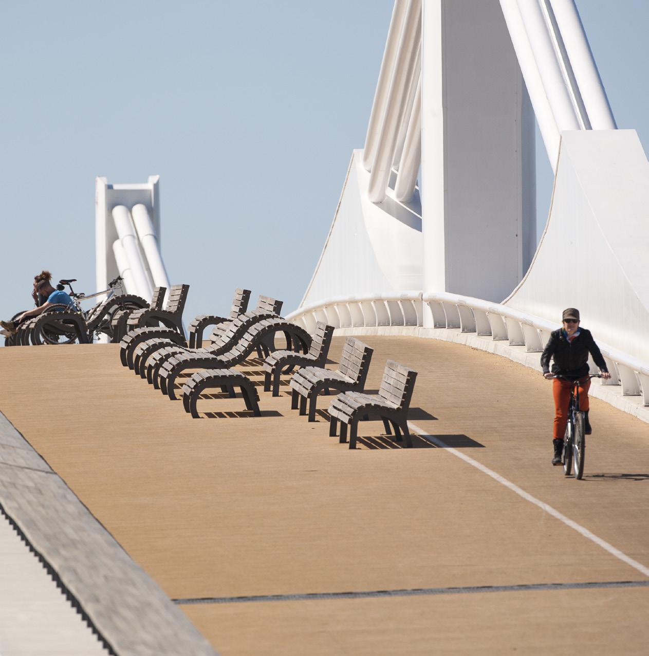
Bridge The Passador
250 meters long and 15 meters high, its design allocates half of the surface area to cyclists and pedestrians. There is also an exhibition on the history of ferries.
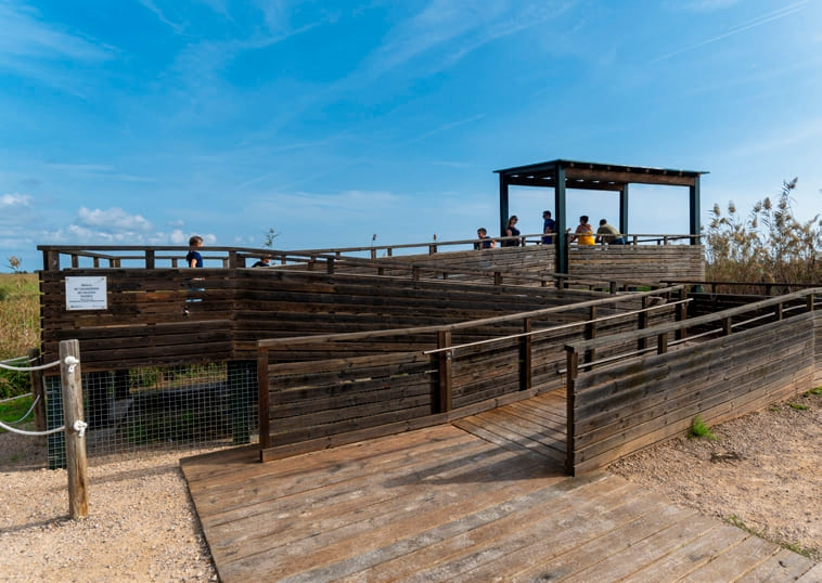
La Tancada viewpoint - Albert Rull
Landscape viewpoint located at the eastern end of La Tancada. It is a viewpoint adapted for people with reduced mobility and has a maximum capacity of 20 people.
Mirador de l'Embut
Elevated viewpoint located in the part of the Clot basin. Right next to it, the Park has Europe's largest shelter for rats.
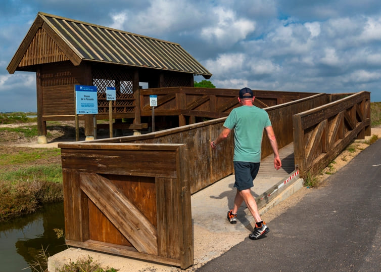
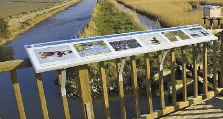
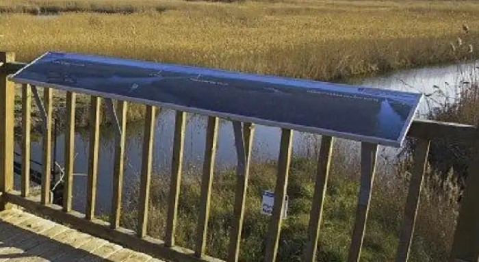
Pont del Través viewpoint
Adapted viewpoint located at the connection between the Clot and the Encanyissada pool.
Tips
- Enter a natural area shared with an agricultural population, and learn about the values of the zone at the Park’s information centers: the Ecomuseum (tel. 977 489 679) and the Casa de Fusta (tel. 667 001 382).
- Bring a helmet, enough food, and water. Keep your phone charged; in case of emergency, call 112. Depending on the season, sunscreen and insect repellent are recommended.
- The terrain is completely flat, but be aware of the usual winds in the area.
- Check the weather forecast before heading out at meteo.cat.
- It is recommended to carry puncture repair materials.
- Use the viewpoints—they will show you the delta landscape. Bring binoculars to observe the birds.
Amposta is a Spanish municipality and town in the province of Tarragona, in the autonomous community of Catalonia. It is the capital of the Montsià region. Located at an altitude of 8 m above sea level, on the banks of the Ebro River, the municipality has a population of 22,637 (INE 2024). Its economic activity is mainly agriculture (rice farming) and services. In the final years of the 20th century, a small but important industrial sector emerged based on the food, paper and packaging industries, furniture, and a multitude of small machinery workshops. In addition to the city of Amposta, the municipality includes the town of Poblenou del Delta and part of Balada.
La Ràpita, located on the Montsià coast, is a charming fishing town known for its harbour, beaches and fresh fish market. Local cuisine stands out for its rice dishes and seafood, reflecting the area’s strong fishing tradition. The surrounding area offers flat, peaceful paths ideal for cycling routes, allowing visitors to explore the delta’s rice fields, nearby natural spaces and the beauty of the coastline, combining nature, culture and sport in a truly Mediterranean setting.
Sant Jaume d’Enveja, situat al cor del Parc Natural del Delta de l’Ebre, és un poble envoltat de camps d’arròs, llacunes i canals que defineixen el paisatge característic del delta. La seva vida tranquil·la i la gastronomia local, basada en l’arròs i els productes del riu, conviden a gaudir del territori amb calma. Els camins plans que travessen els arrossars i connecten amb altres nuclis del delta fan de Sant Jaume d’Enveja un lloc ideal per a rutes ciclistes senzilles, cosa que permet descobrir la natura, la fauna i la serenitat d’aquest entorn únic.
- As it is a linear route with various options to park vehicles along the way, you can adjust the itinerary according to your needs and abilities.
- Respect signage and restricted access areas.
- It is strictly forbidden to light fires.
- Respect the flora, fauna, and environment. Collecting animal or plant species, alive or dead, is not allowed.
- Camping is only permitted in established campsites.
- In protected areas, dogs must be kept on a leash. Launching and landing drones is prohibited.
- It is forbidden to leave litter, except in designated areas.
THE ZAFÁN GREENWAY GAME
Explore, learn, and have fun with Antoni and Clara as you travel the routes of the Zafán Valley. Each stop is a new adventure, every challenge a story waiting for you!
Comença a jugar!Along your route, you'll find challenges and activities to earn points, solve clues, or win virtual prizes.
Join our games and become an expert on the Zafán Greenway.
Available games (2)
Observe birds
Find the bird-watching spot along the route, scan the QR code, and answer three questions to earn your badge.
More informationPhotograph shells
Upload a photo to Instagram of the shells you find on the beach using the hashtag #conchasdelFalgar
More information
Weather forecast
Today, Wednesday, Amposta

Clear
21 km/h
32ºC max
27ºC min
No rain forecast
Next days forecast

Thursday
33º max
24º min
Friday
29º max
24º min
Saturday
30º max
25º min
Sunday
30º max
25º min
Other routes you may like...

La Ràpita - Amposta - L'Aldea - Camarles - L'Ampolla (Porta del Delta)