CN - Via Verda Val de Zafán (Puebla de Hijar - Puigmoreno)
Via Verda Val Zafán (Tram Teruel)
Route characteristics
- 18,48 km
- 304 m
- 332 m
- 215 m
![]() No traffic No motorized vehicles allowed.
No traffic No motorized vehicles allowed.
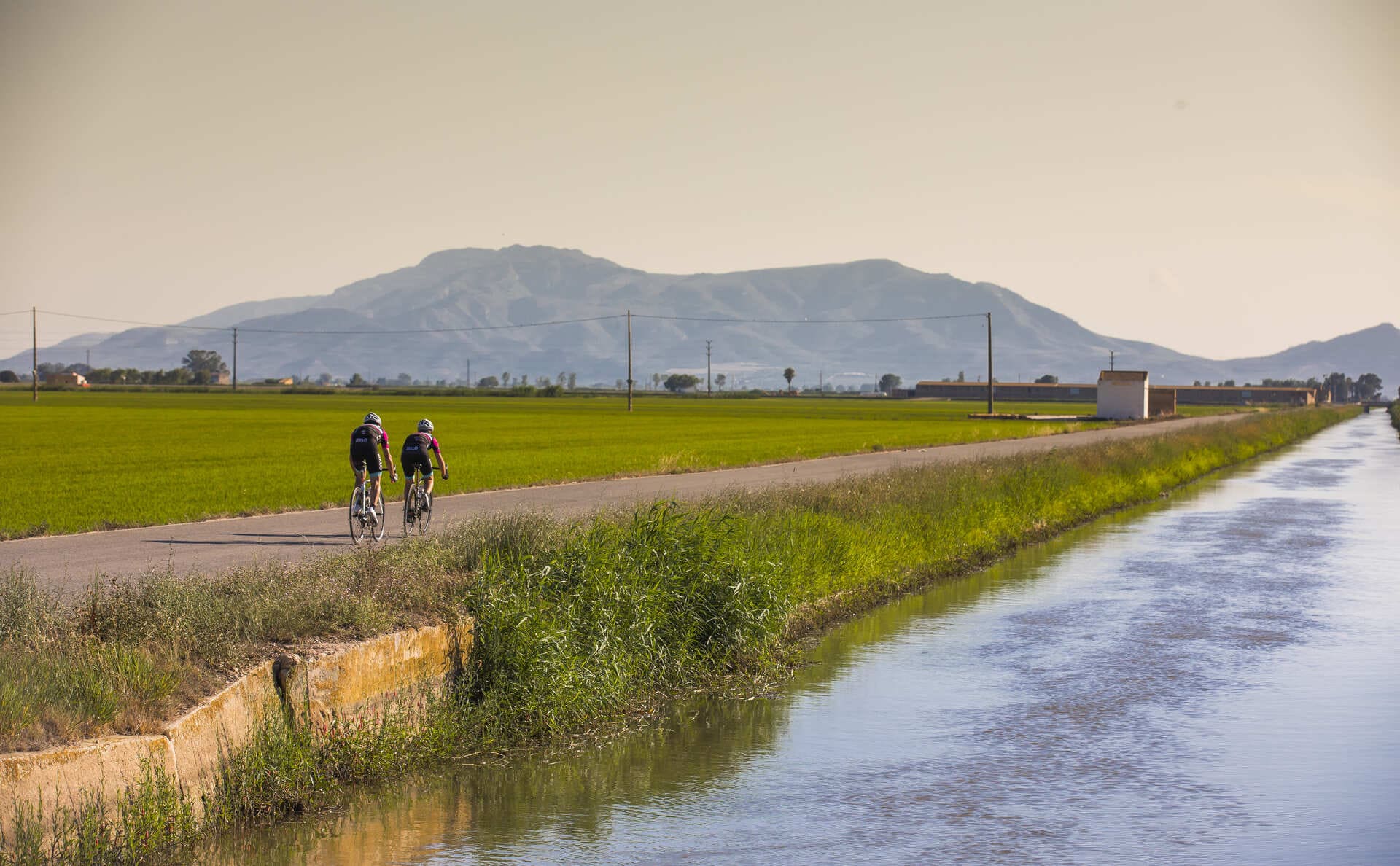
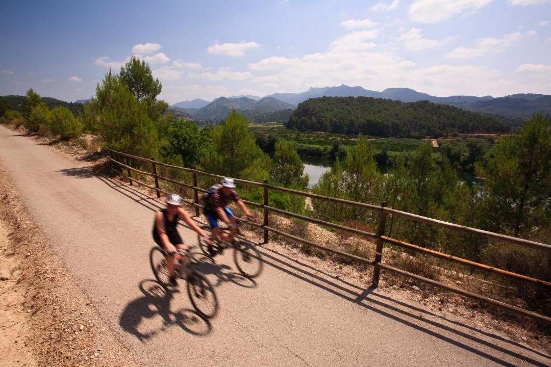
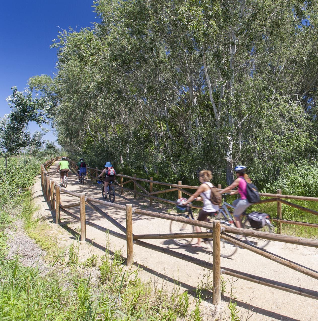
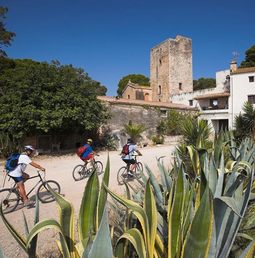
The Val de Zafán Greenway begins at the Pobla d'Híjar Station. We begin the route along a stretch of asphalt road that is abandoned after 600 m and then continues along an agricultural road shared with vehicles for two kilometers and then connects with the original route of the greenway.
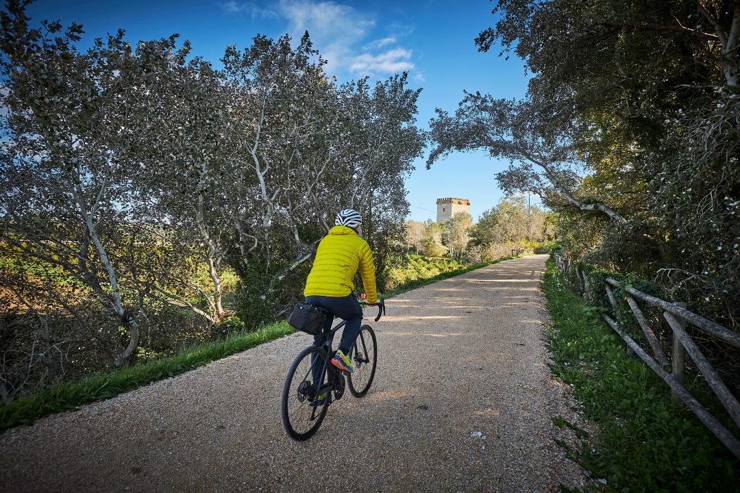
In this first section, two railway structures stand out that give this route an adventurous feel. The Pont de la Torica, which is named after the old coal locomotive that used to make the route, rises imposingly 3.5 km from the start of the journey. It is a viaduct that was built at the end of the 19th century with the aim of crossing the deep trench where the train track is located. A few meters later, the route enters the "Túnel del Montecico", built to cross the hill that takes us to Samper de Calanda.
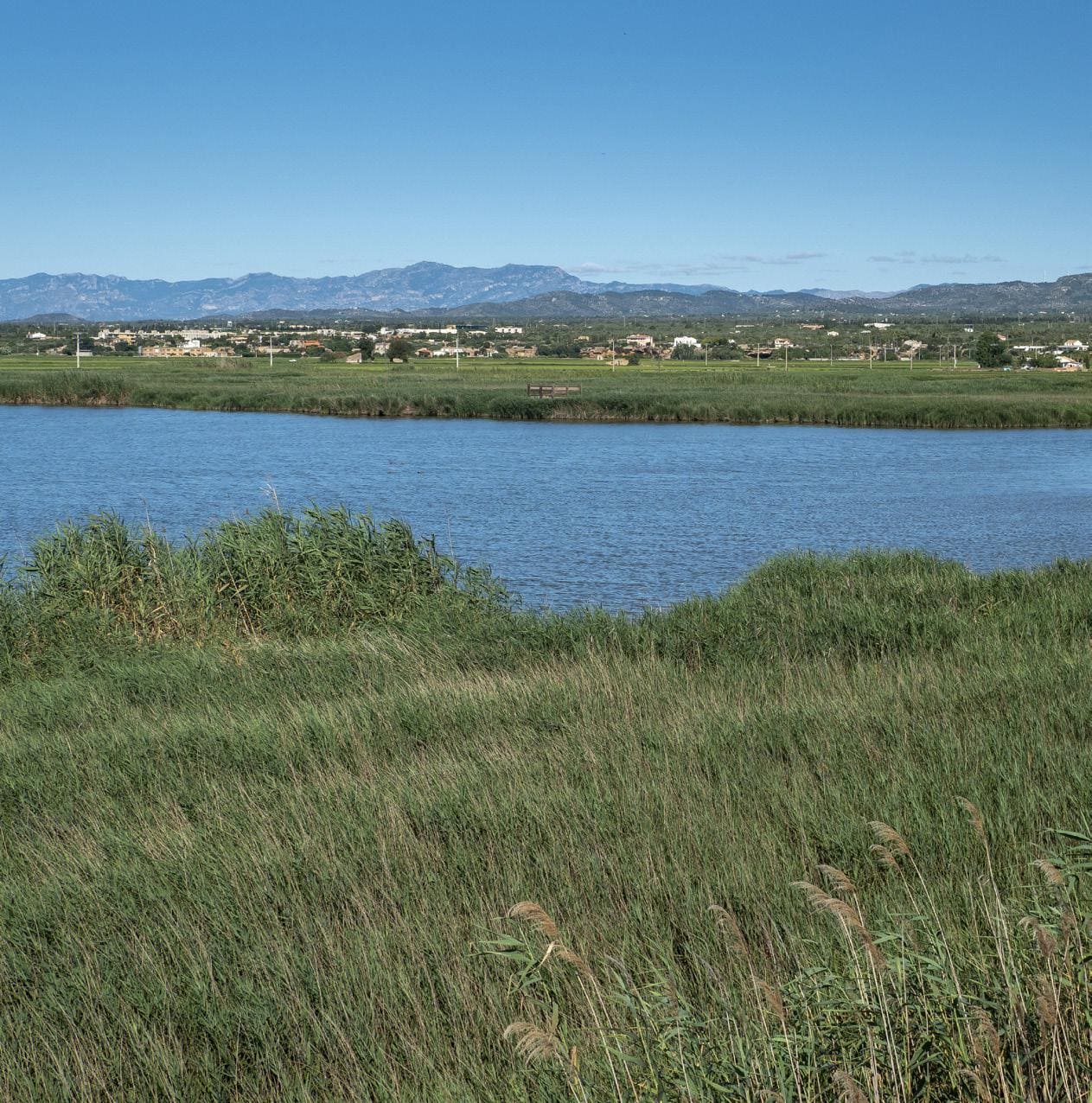
After crossing the tunnel, we pass under the viaduct of the Madrid-Barcelona railway line and then over the viaduct of the Martín River, known as the Pont Negre or Pont de Sant Carles. The GR 262 passes under the viaduct, which follows the Martín River and its path to the mouth. Just after the viaduct is the Horta de Samper Station, currently abandoned. This point is ideal for a stop on the way. From there, we can see the town of Samper de Calanda and the Martín River floodplain.
We continue our way and pass over several bridges and the viaduct of an agricultural road until the junction between the current FFCC Madrid-Barcelona line and the abandoned Andorra-Escatrón coal railway. Two more bridges and we will arrive at Puigmoreno Station (km 18.7).
Then from Puigmoreno to Valdealgorfa passing through Alcanyís there is another 30.5 km section which, although more or less passable, is still unconditioned and has motorized use. We hope that soon we can include this Alcanyís section which is in the project.
The kilometer milestones arranged on the Via Verda del Val de Zafán have their origin in the city of Tortosa (although the route is usually made starting from the Pobla d'Híjar Station) so in the following description we will be counting kilometers from 83 until reaching the border with Catalonia, around km 49.
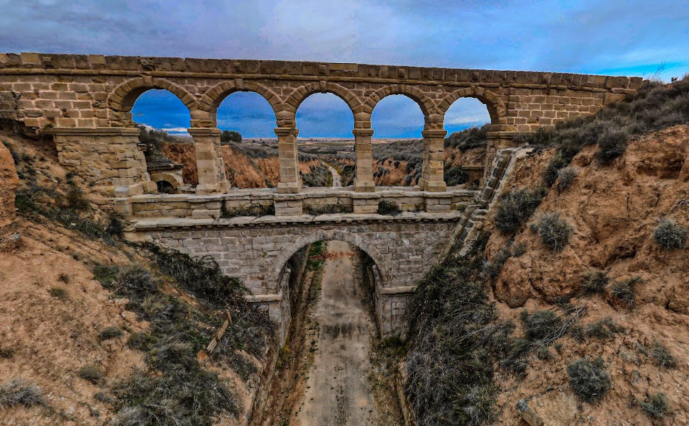
La Torica Aqueduct
Old railway aqueduct on the Val de Zafán line that allowed small ravines to be crossed, today integrated into the greenway as a unique element of historical engineering.
Tips
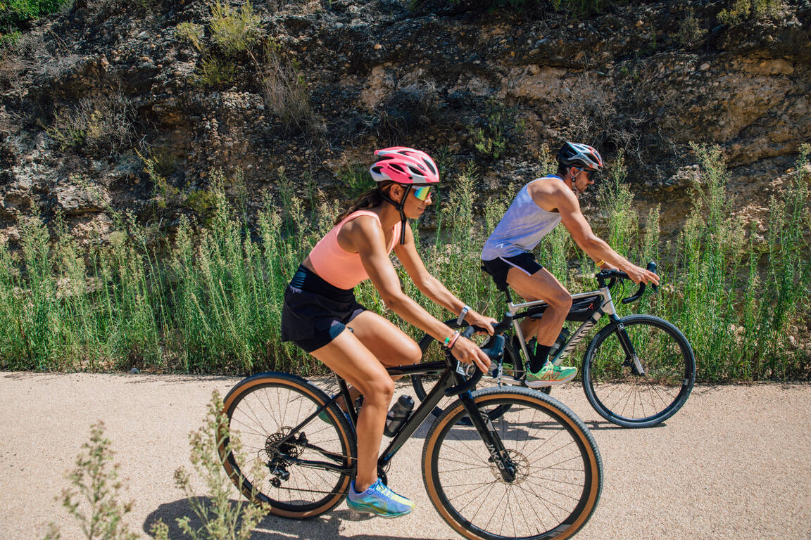
- You must wear a helmet and bring food and enough water. Carry your phone and keep it charged; in case of emergency, call 112. Depending on the season, it is advisable to bring sunscreen and insect repellent.
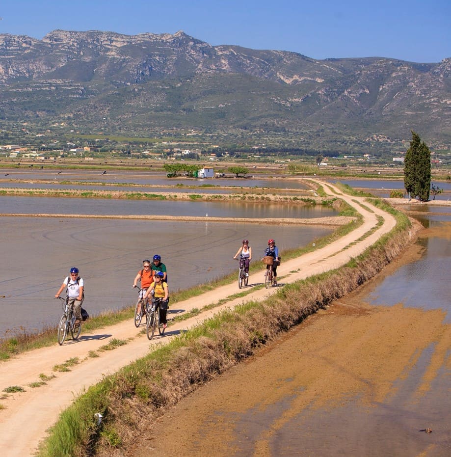
- The terrain is completely flat, but be aware of the prevailing winds in the area.
- Check the weather forecast before heading out at meteo.cat
- It is advisable to carry puncture repair equipment.
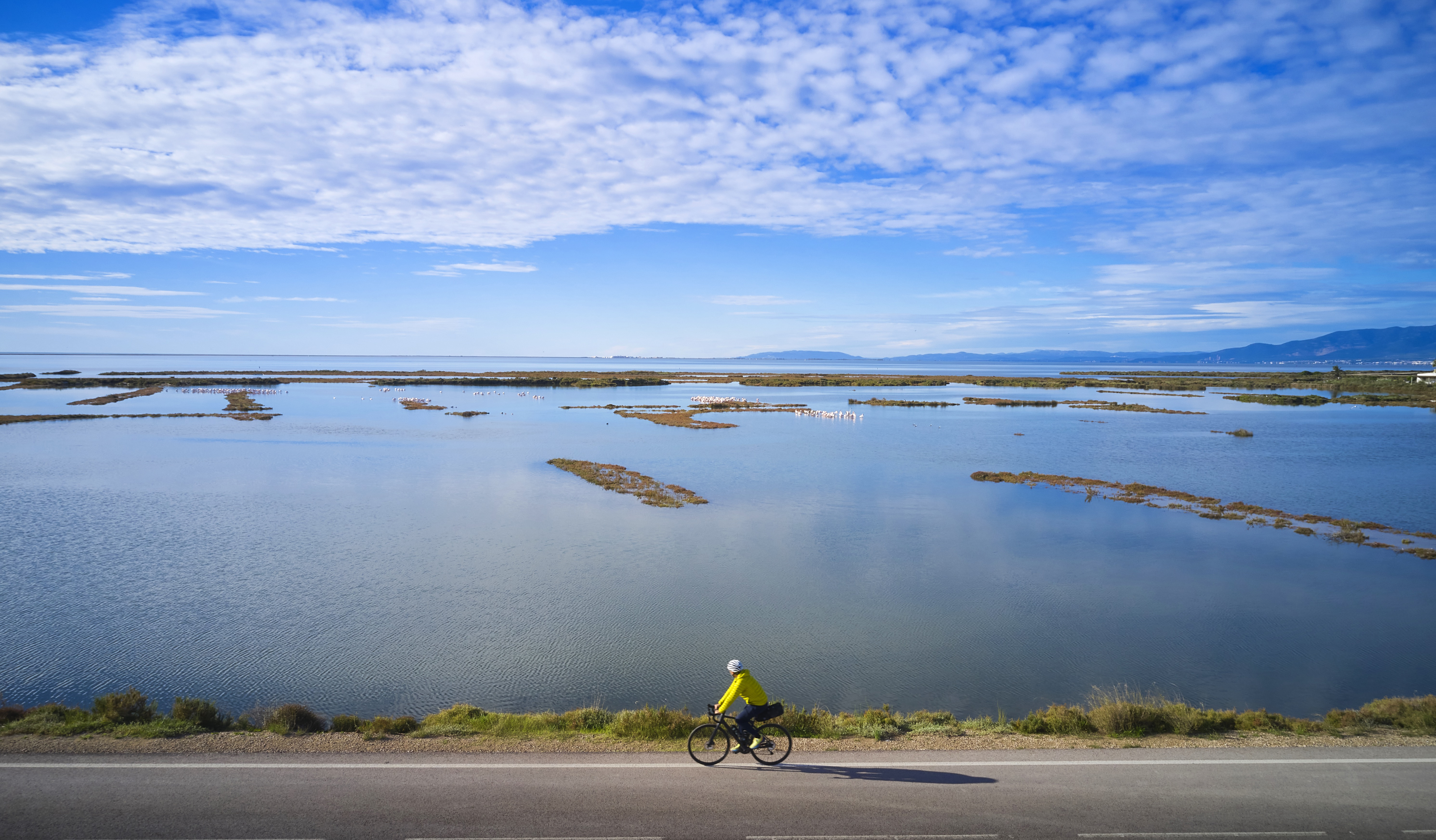
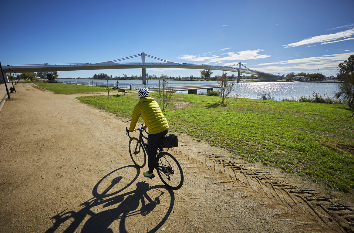
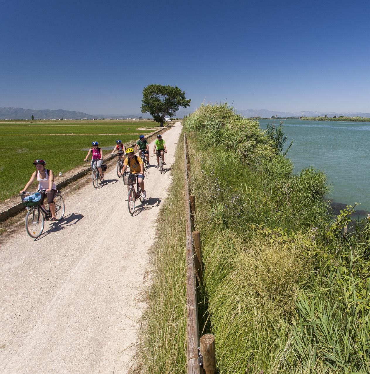
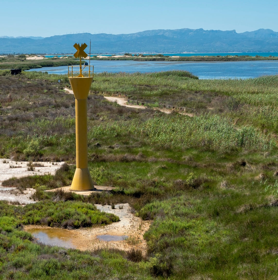
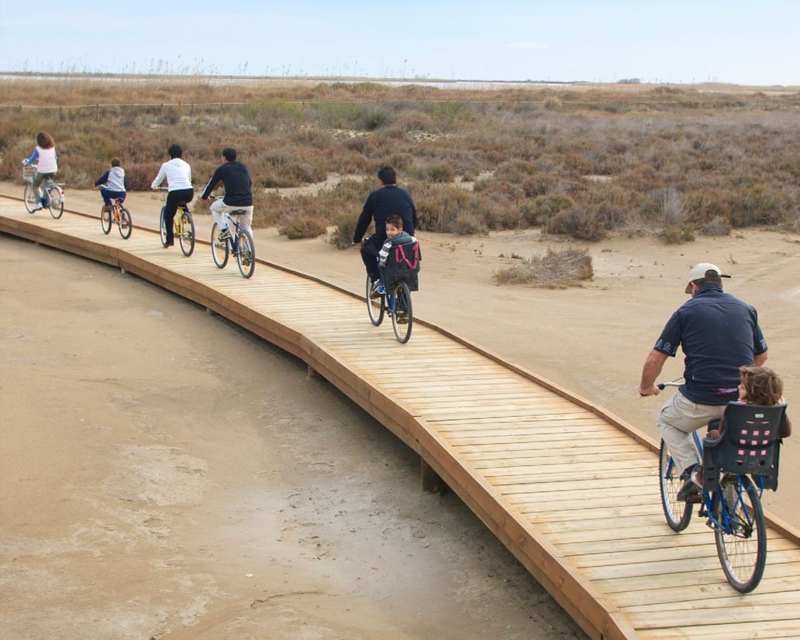
- Make use of the viewpoints, they will show you the delta landscape. Bring binoculars to watch the birds.
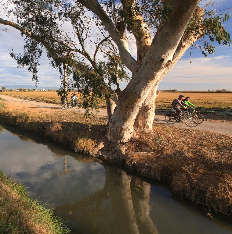
- As this is a linear route with various parking options along the way, you can adapt the itinerary to suit your needs and abilities.
- Please respect the signage and no-access zones.
- Lighting fires is strictly forbidden.
- Please respect the flora, fauna and environment. Collecting animal or plant species, whether alive or dead, is not permitted.
- Camping is only permitted at established campsites.
- In protected areas, dogs must be kept on a lead.
The take-off and landing of drones is forbidden. - Littering is forbidden except in designated areas.
THE ZAFÁN GREENWAY GAME
Explore, learn, and have fun with Antoni and Clara as you travel the routes of the Zafán Valley. Each stop is a new adventure, every challenge a story waiting for you!
Comença a jugar!Along your route, you'll find challenges and activities to earn points, solve clues, or win virtual prizes.
Join our games and become an expert on the Zafán Greenway.
Available games (2)
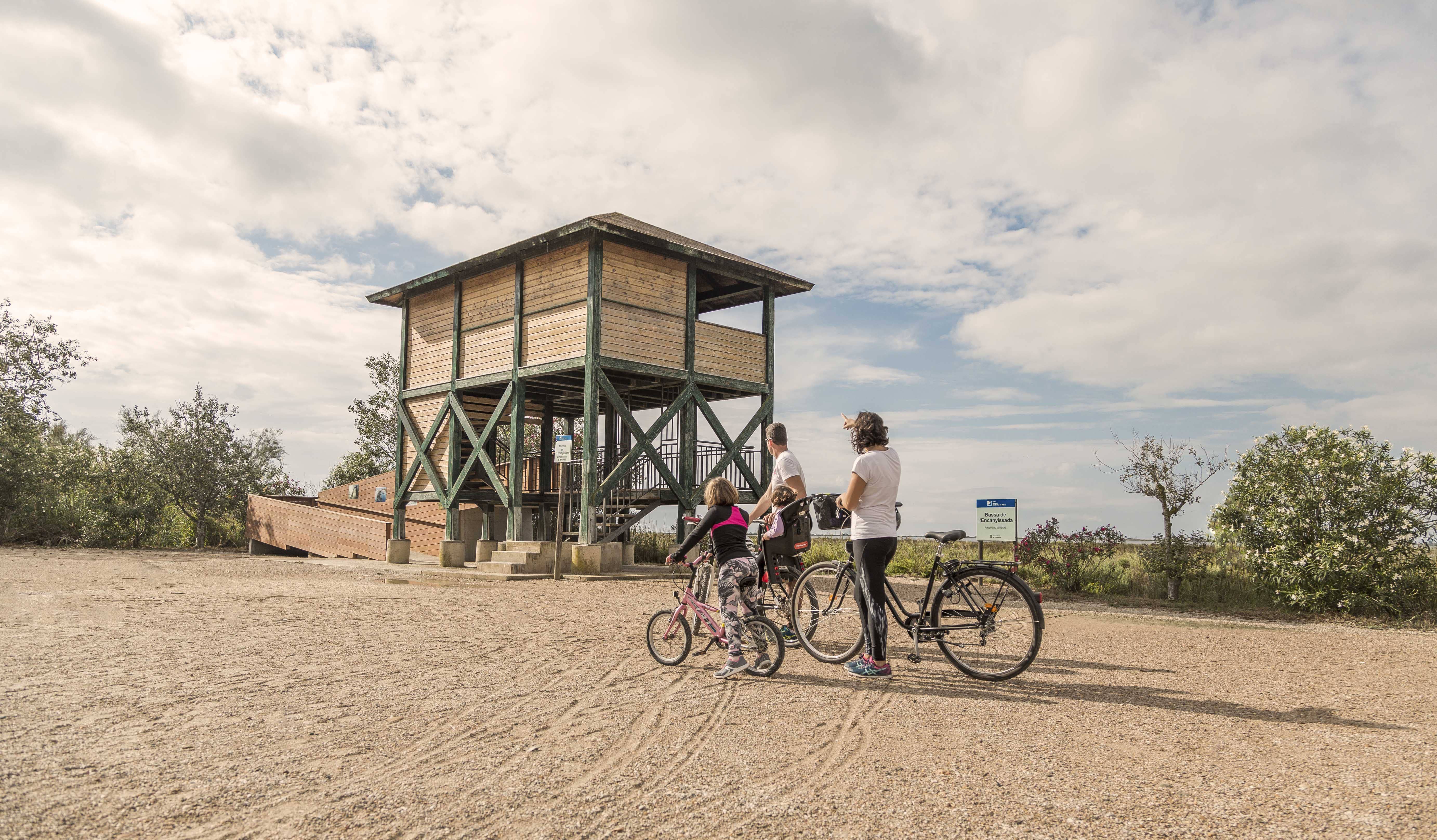
Observe birds
Find the bird-watching spot along the route, scan the QR code, and answer three questions to earn your badge.
More informationPhotograph shells
Upload a photo to Instagram of the shells you find on the beach using the hashtag #conchasdelFalgar
More information
Other routes you may like...
La Ràpita - Amposta - L'Aldea - Camarles - L'Ampolla (Porta del Delta)