Deltebre river promenade
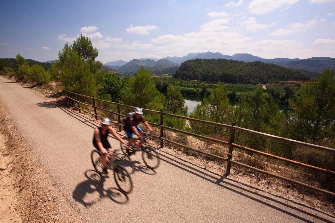
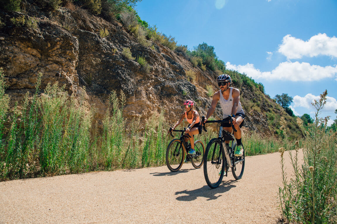
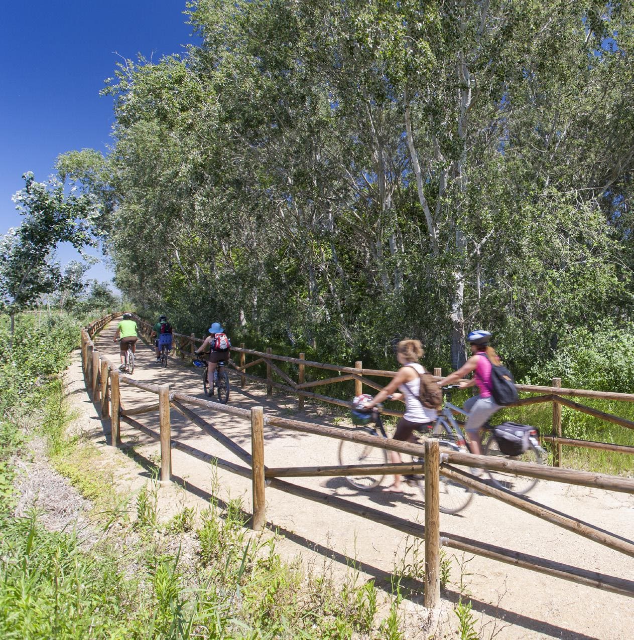
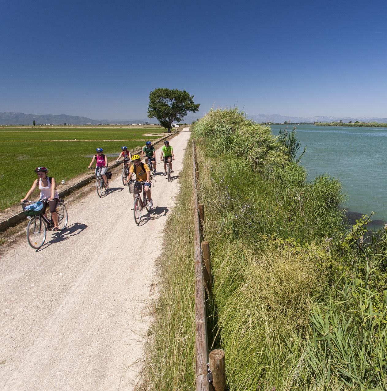
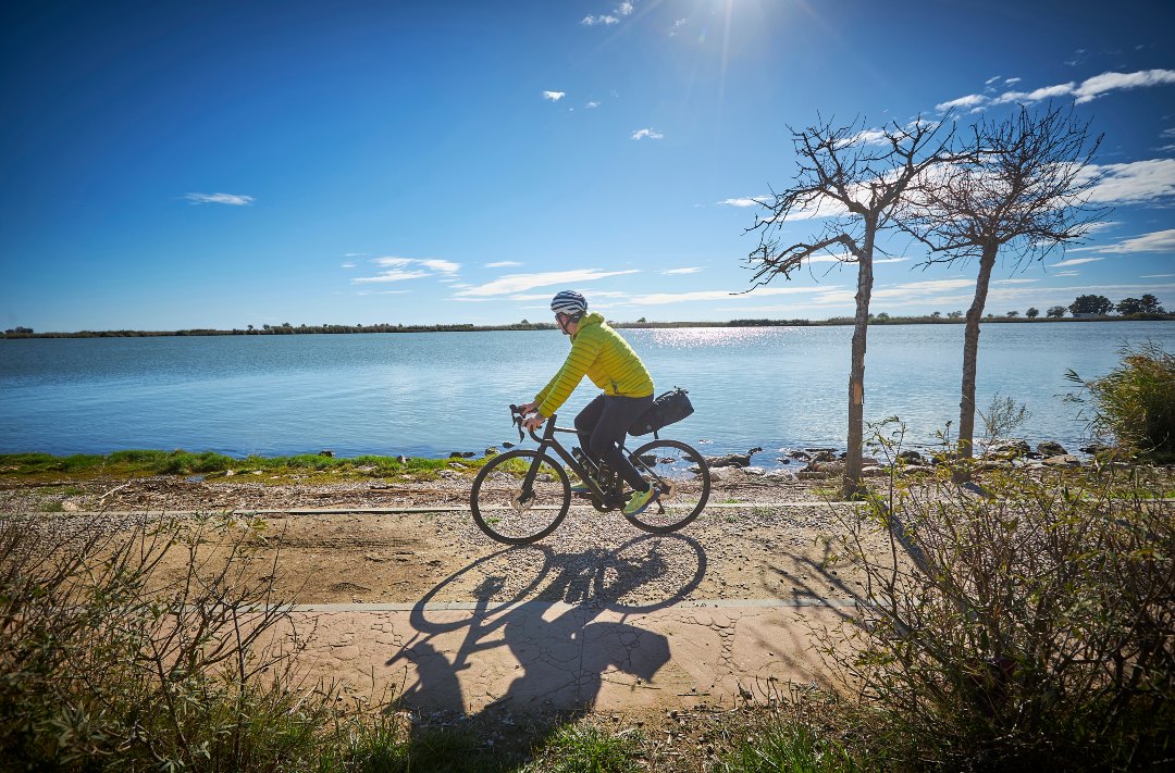
Cycling route through the Ebro Delta Natural Park
Route characteristics
- 12,6 km
- 2 m
- 6 m
With traffic Motorized vehicles are frequent.
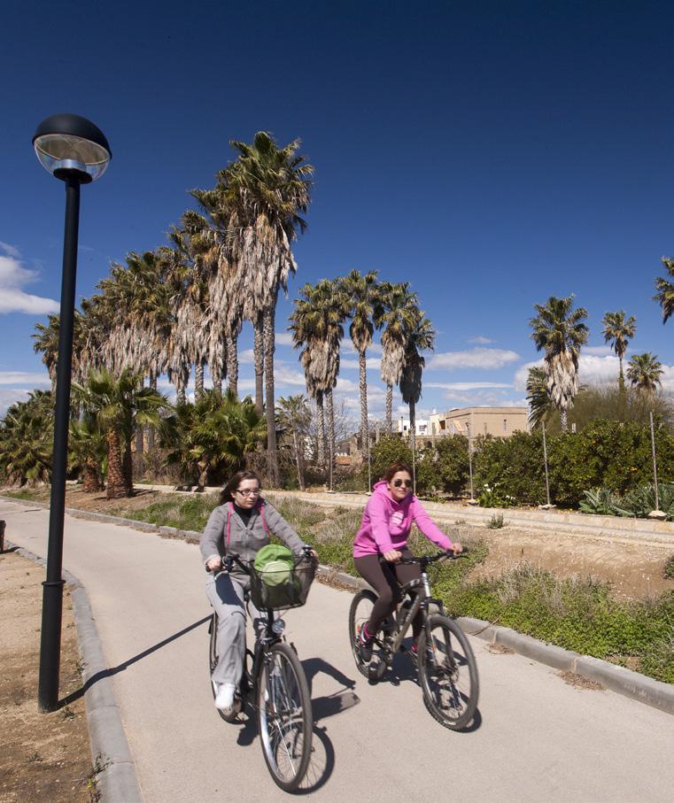
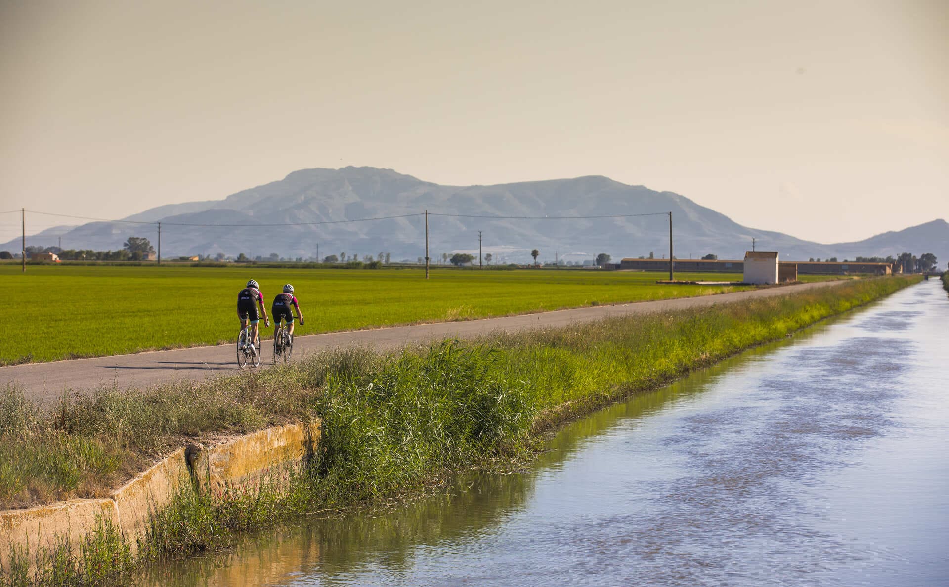
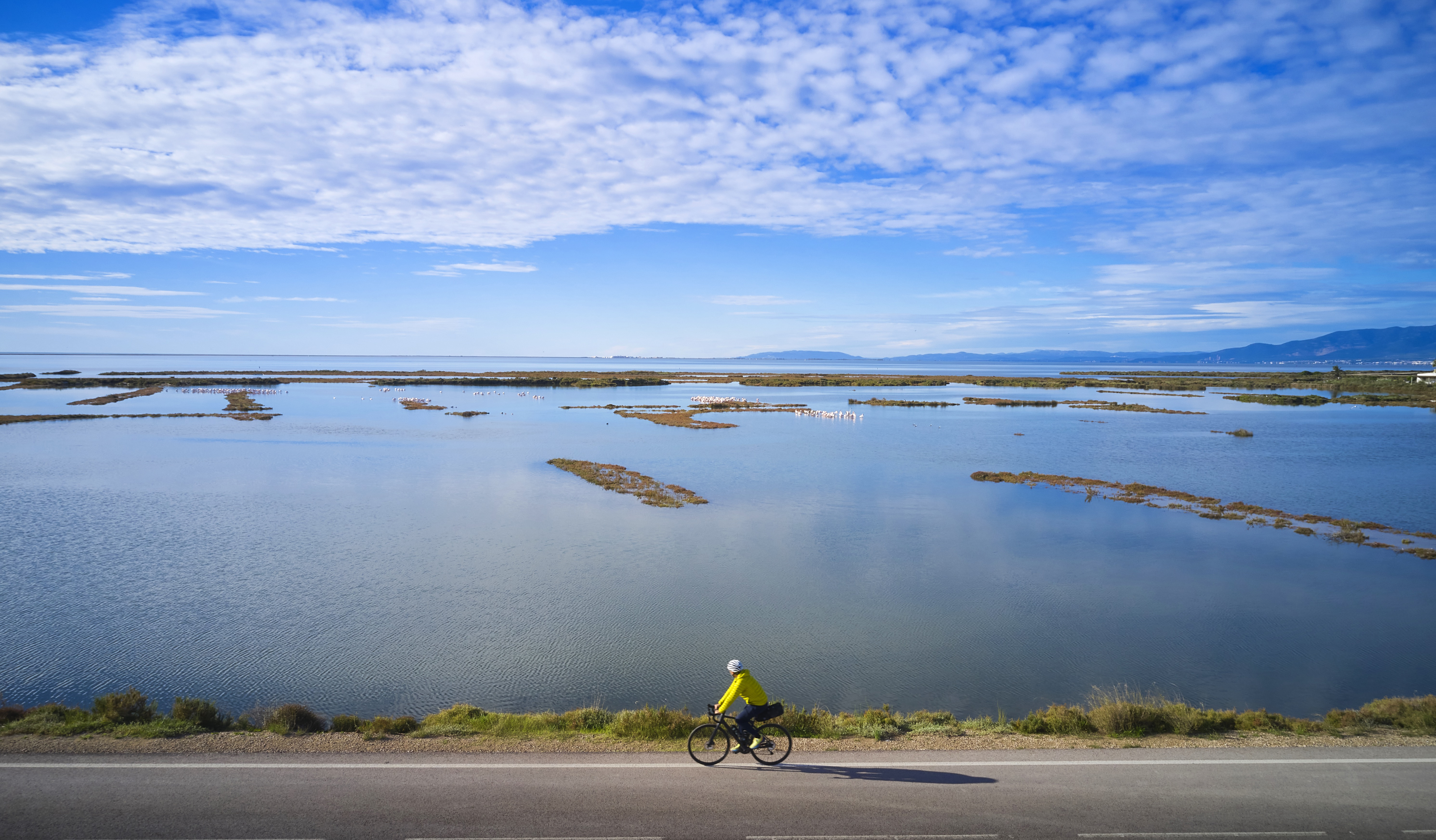
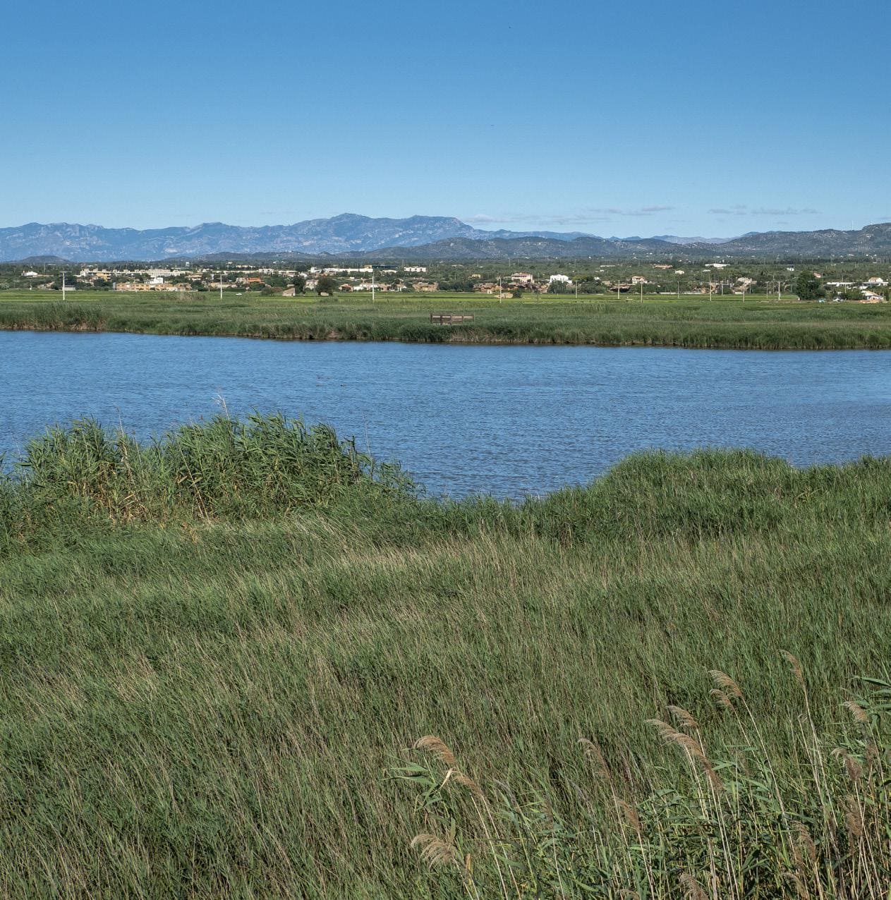
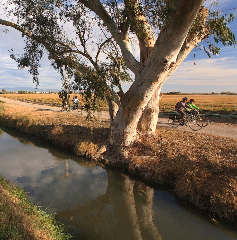
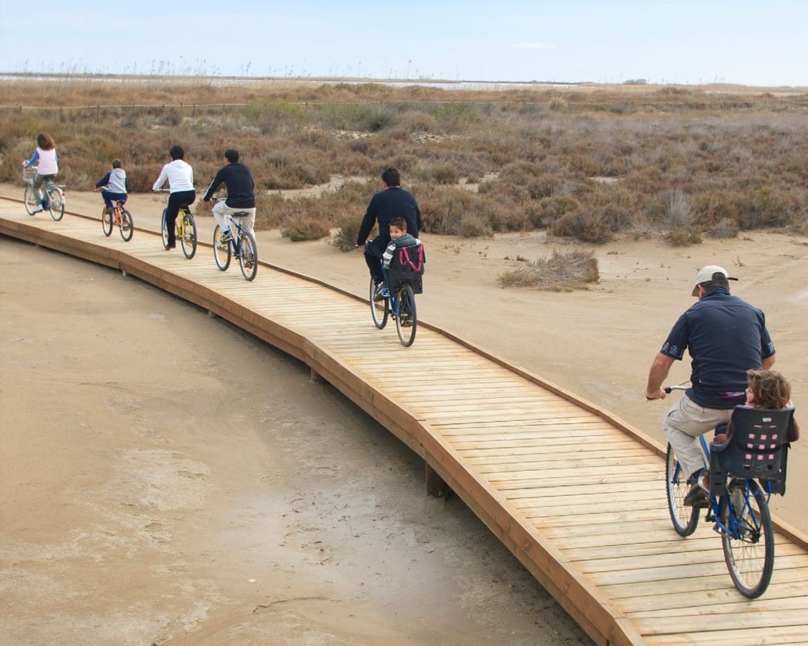
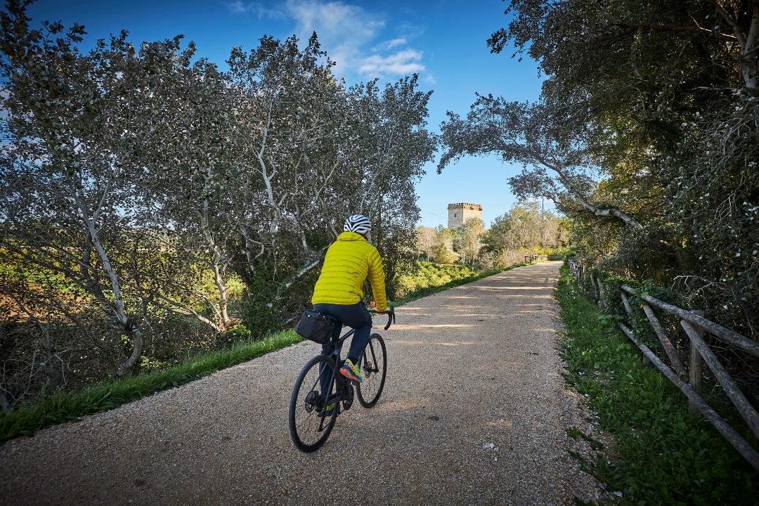
Route to be done by bike or on foot following the Deltebre river promenade from the Molí dels Mirons to the Maset. The route, which is ideal for families, reveals different elements of interest such as the Lo Passador bridge, the Sínia, the machine gun nest,... Different spaces along the route will invite us to stop to rest and enjoy the surroundings. Likewise, in the first section of the route it passes through the Parc del Riu, a very popular recreation area in Deltebre. The route, which at all times runs alongside the Ebro River, will allow us to enjoy different and magnificent panoramic views of the river. As it is a linear route and with different possibilities of parking vehicles along the route, we can adapt our itinerary according to our needs.
Mill of the Mirons viewpoint
Starting point of the route. To our right, there is the island of Gràcia (privately owned), and, to the left, the canal that waters all the orchards that we will find along the route.
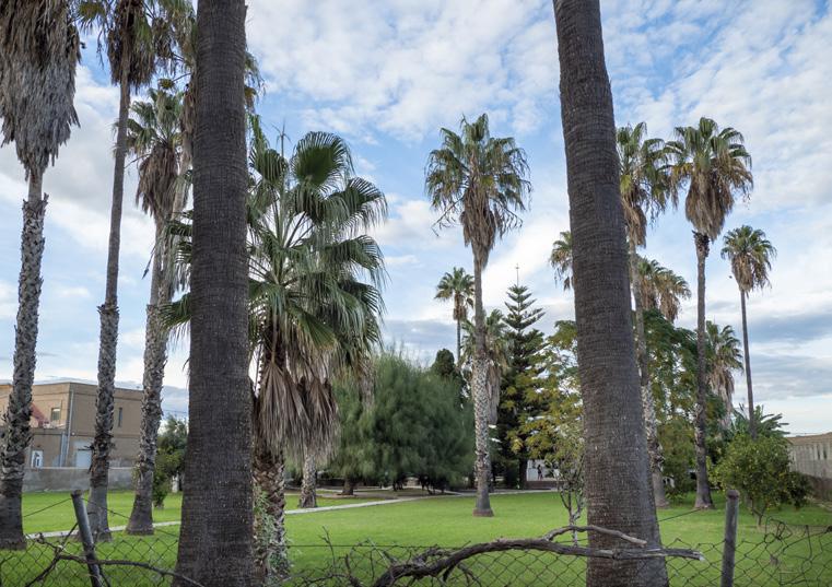
House of the Belgians
Also called Casa Quico, in colonial style, its first owner was Cinta Santiago. Later, it was bought by a family from Belgium, hence the current name. We highlight the tall palm trees
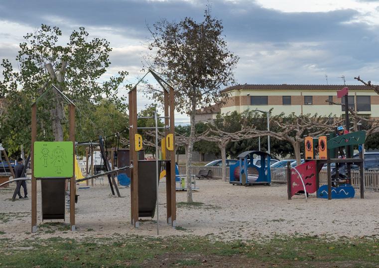
River Park
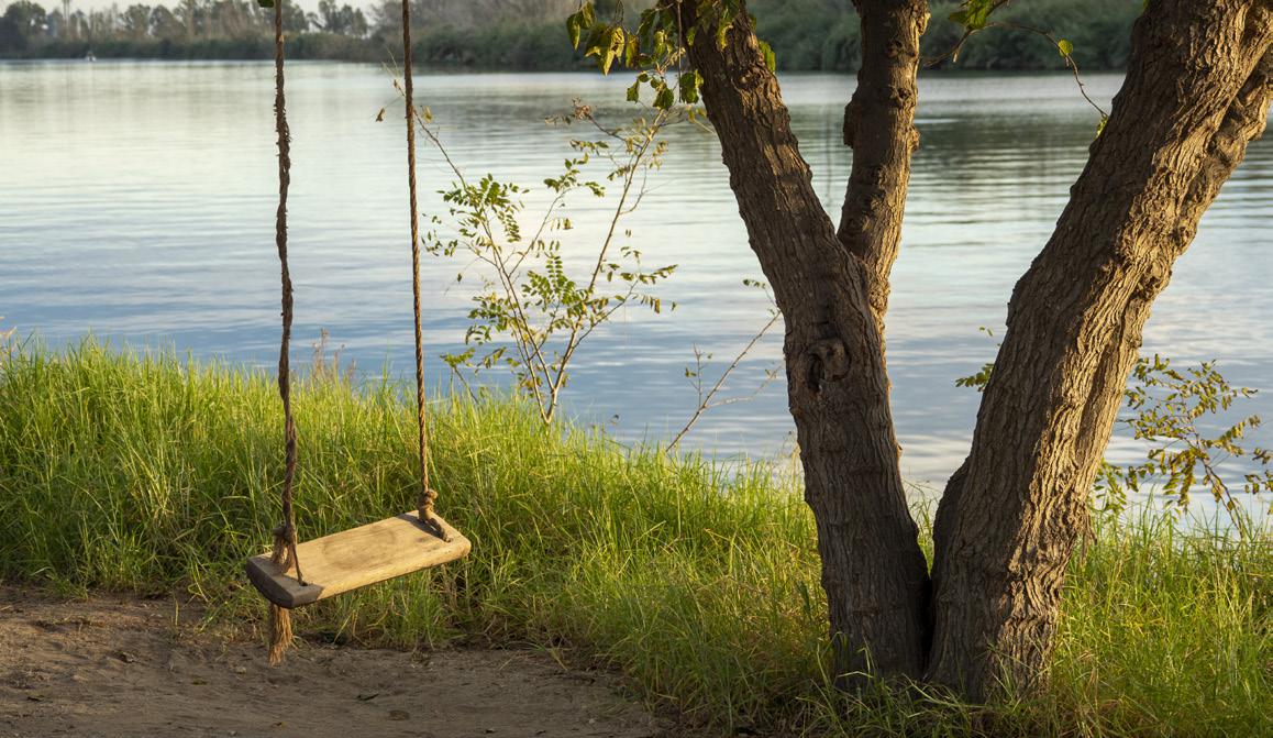
Municipal recreational area, with swings, shaded picnic area, grills, drinking water fountain, stage, etc... Families with children are recommended to stop there.
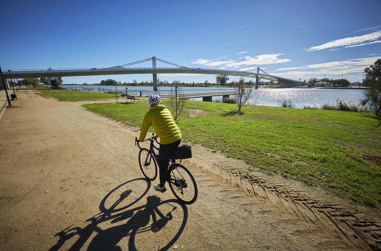
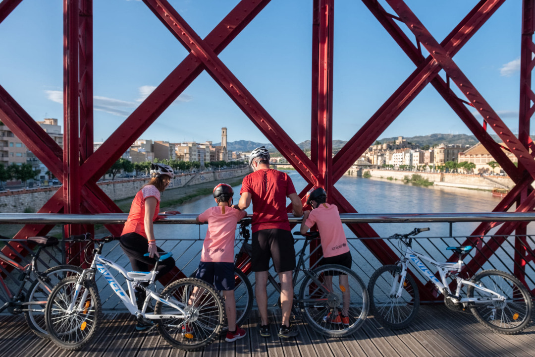
Bridge The Passador
250 meters long and 15 meters high, its design allocates half of the surface area to cyclists and pedestrians. There is also an exhibition on the history of ferries.
The Sínia
A stone construction with two wheels, it was originally intended to raise the water from the river for agricultural use. Waterwheels were very widespread during the centuries of Muslim occupation.
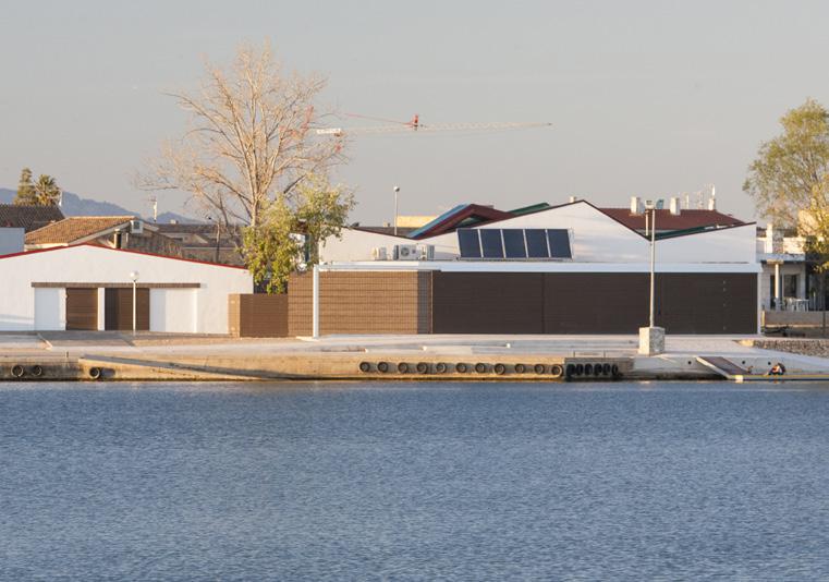
Martí Calvo Canoe and Fixed Bench Rowing Technology Center
The building houses the technical training center and also the Xino Xano Sports Association. The association was born with the main objective of mainly promoting canoeing.
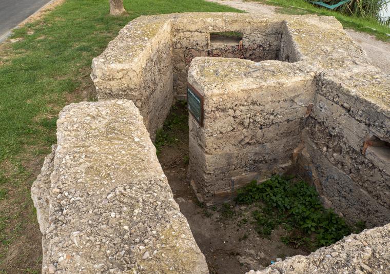
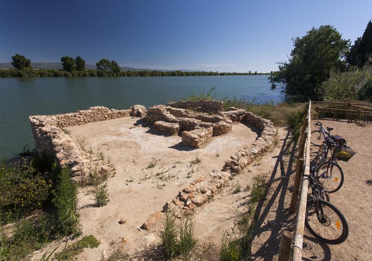
Machine gun nest
In the Battle of the Ebro, in the context of the Spanish Civil War, its function was defensive. The soldiers protected themselves while at the same time firing at the other side of the river, where the enemy was located.
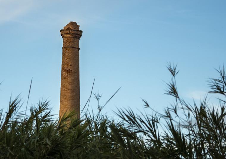
The Maset
There was a rice mill on the estate, and currently we can see the industrial masonry chimney with a round pyramidal section.
Tips
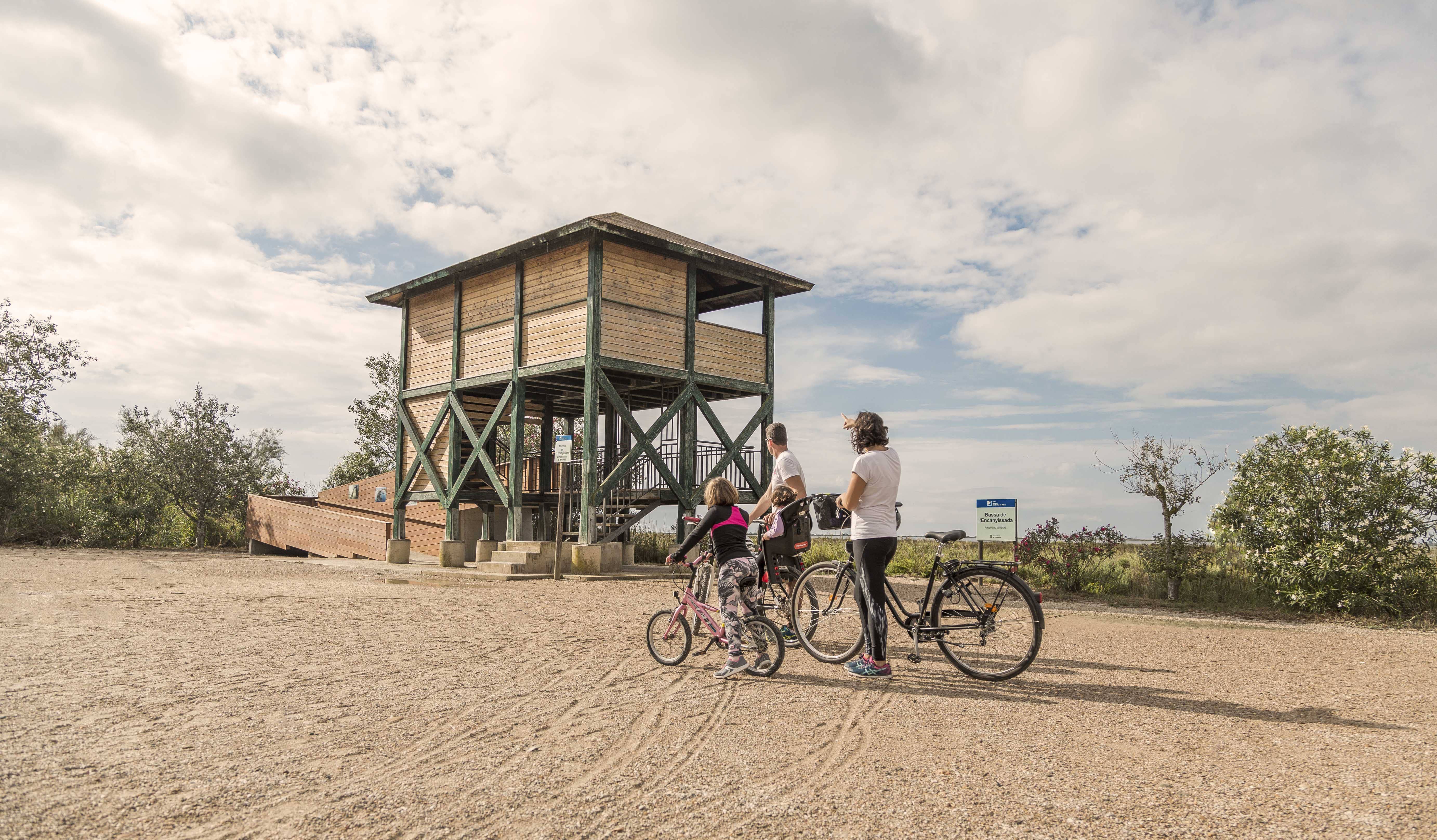
- You are entering a natural area shared with an agricultural community; learn about the values of the area at the Park’s information centers: the Ecomuseum (tel. 977 489 679) and the Casa de Fusta (tel. 667 001 382).
- It is necessary to wear a helmet and bring enough food and water. Carry a mobile phone and conserve battery; in case of emergency, call 112. Depending on the season, it is advisable to bring sunscreen and insect repellent.
- The terrain is completely flat, but be aware of the usual winds in the area.
- Check the weather forecast before heading out on the website meteo.cat
- It is advisable to carry equipment for puncture repairs.
- Use the viewpoints—they will show you the delta landscape. Bring binoculars to observe the birds.


Deltebre is a young municipality located at the edge of the Ebre Delta. This fet, sens dubte, clearly marks the character of the people, and also provides a clue to deduce the orography and the intrinsic characteristics of the population.
- As this is a linear route with various options to park vehicles along the way, you can adjust the itinerary according to your needs and abilities.
- Respect the signage and restricted access areas.
- Lighting fires is strictly prohibited.
- Respect the flora, fauna, and environment. Collecting animal or plant species, whether alive or dead, is not allowed.
- Camping is only permitted in established campsites.
- In protected areas, dogs must be kept on a leash.
The take-off and landing of drones is prohibited. - Littering is prohibited, except in designated areas.
THE ZAFÁN GREENWAY GAME
Explore, learn, and have fun with Antoni and Clara as you travel the routes of the Zafán Valley. Each stop is a new adventure, every challenge a story waiting for you!
Comença a jugar!Along your route, you'll find challenges and activities to earn points, solve clues, or win virtual prizes.
Join our games and become an expert on the Zafán Greenway.
Available games (2)
Observe birds
Find the bird-watching spot along the route, scan the QR code, and answer three questions to earn your badge.
More informationPhotograph shells
Upload a photo to Instagram of the shells you find on the beach using the hashtag #conchasdelFalgar
More information
Weather forecast
Today, Wednesday, Deltebre

Clear
21 km/h
32ºC max
28ºC min
No rain forecast
Next days forecast

Thursday
33º max
25º min
Friday
28º max
25º min
Saturday
29º max
25º min
Sunday
29º max
26º min
Other routes you may like...

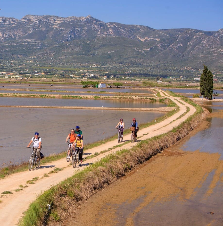
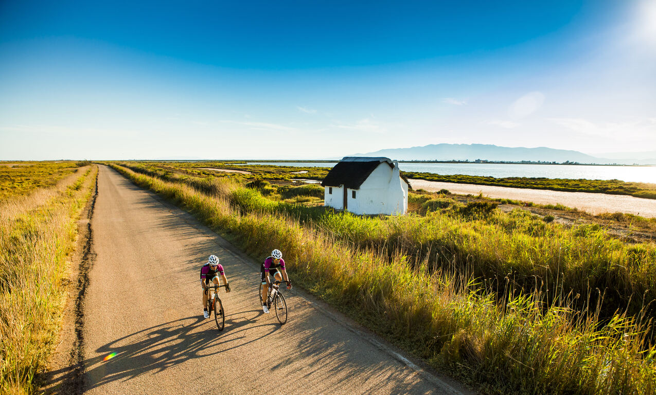
La Ràpita - Amposta - L'Aldea - Camarles - L'Ampolla (Porta del Delta)