Amposta - Ullals - Casa de Fusta
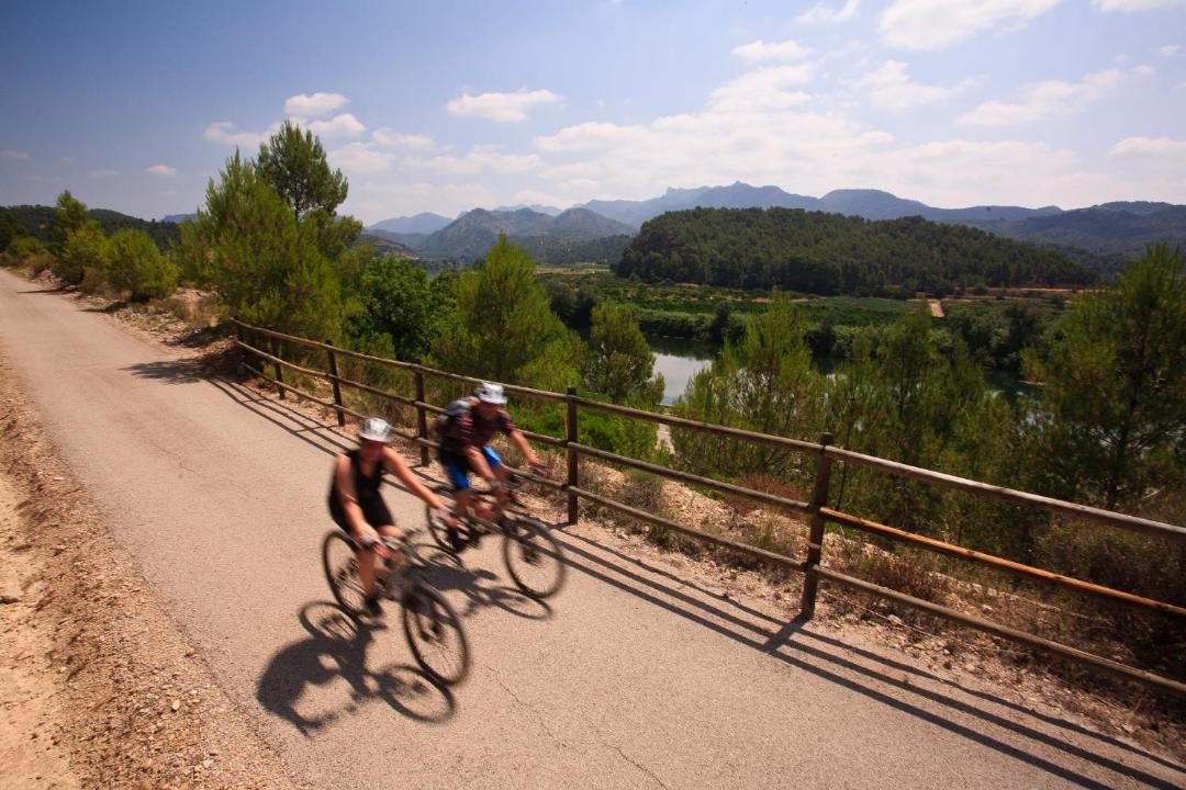
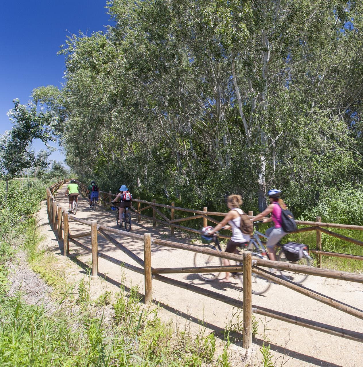
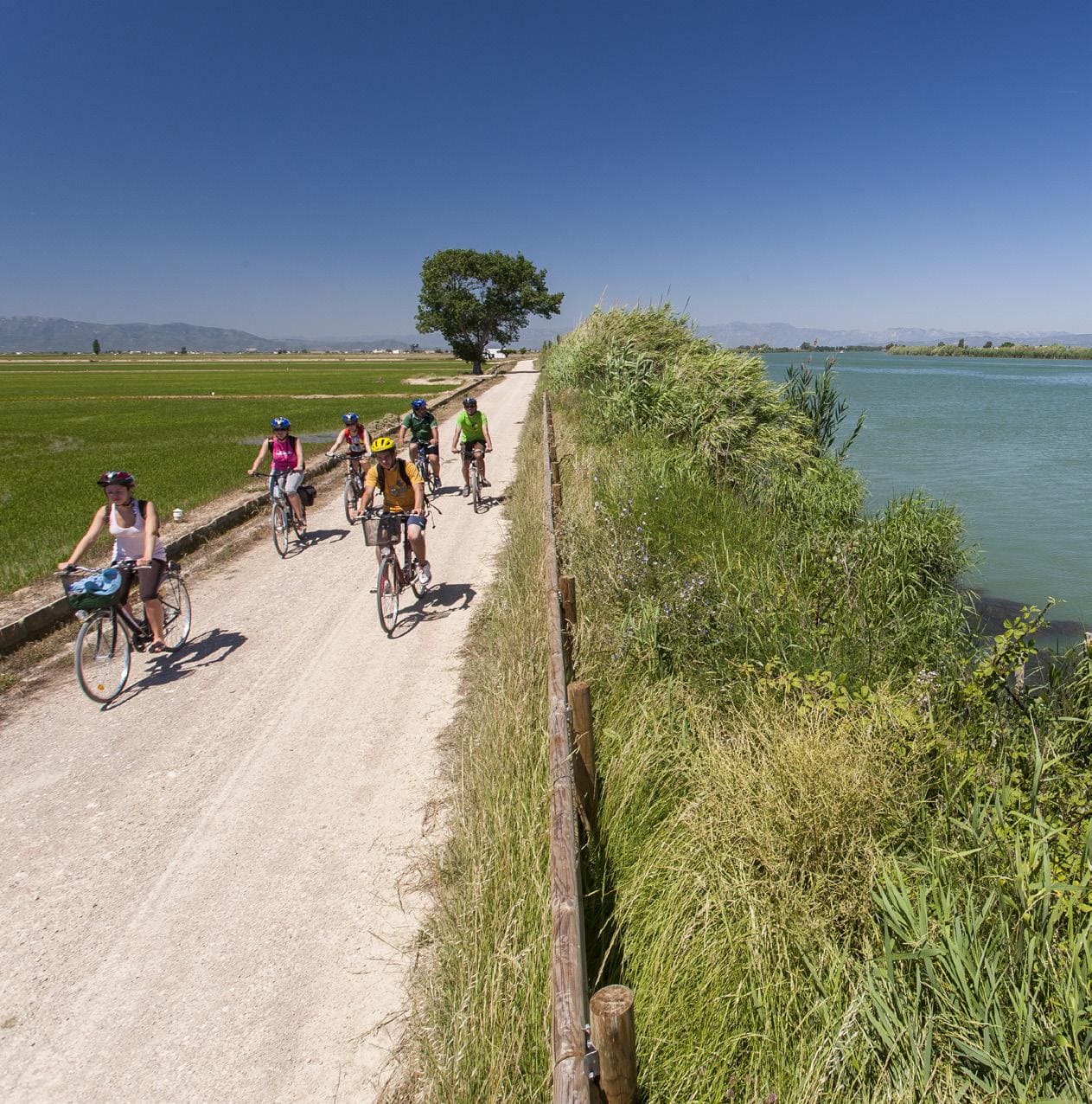
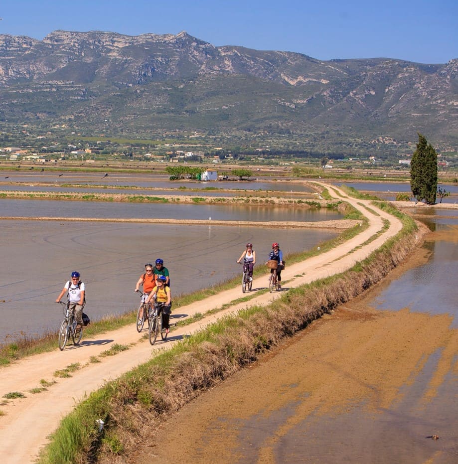
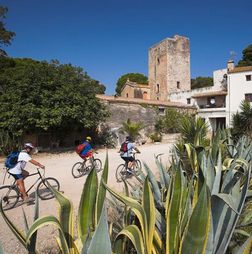
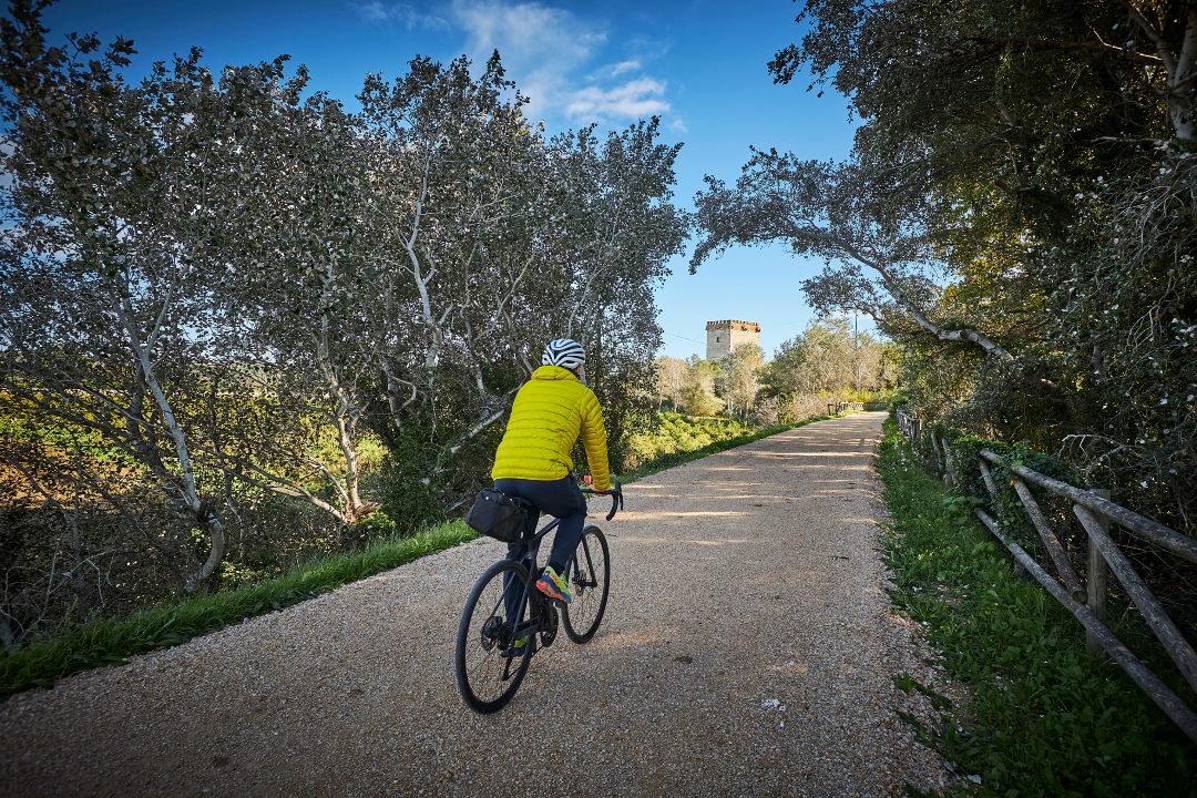
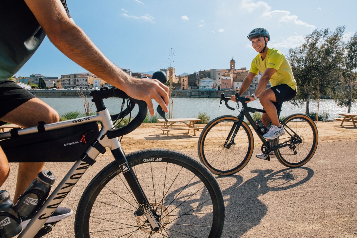
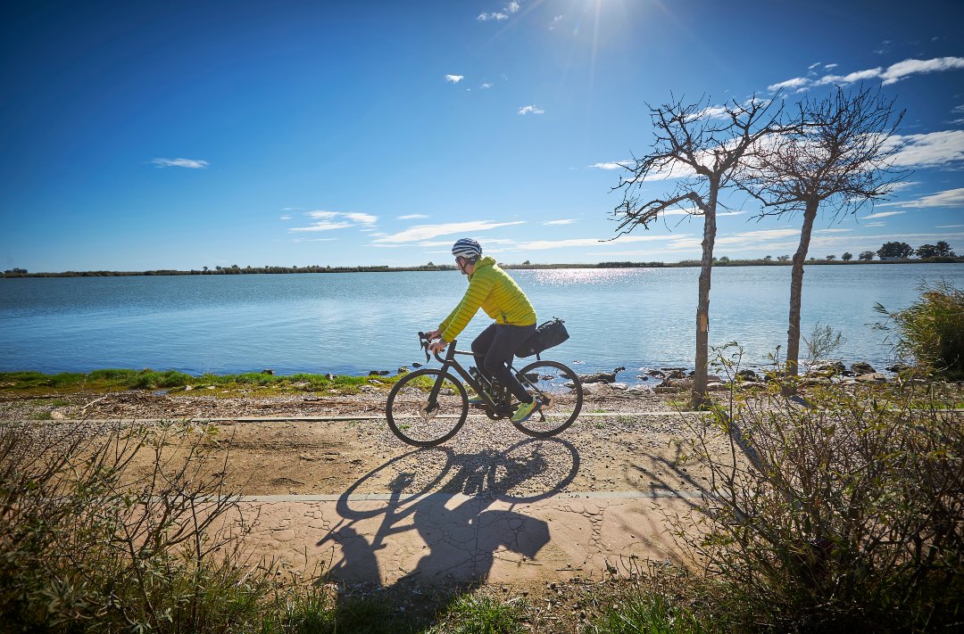
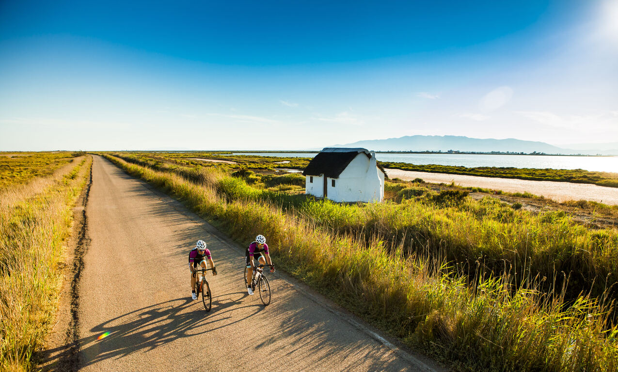
Cycling route through the Ebro Delta Natural Park
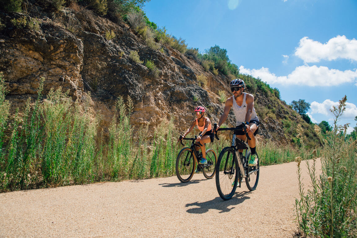
Route characteristics
- 27,7 km
- 3 m
- 11 m
- -1 m
With traffic Motorized vehicles are frequent.
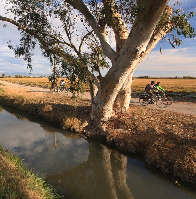
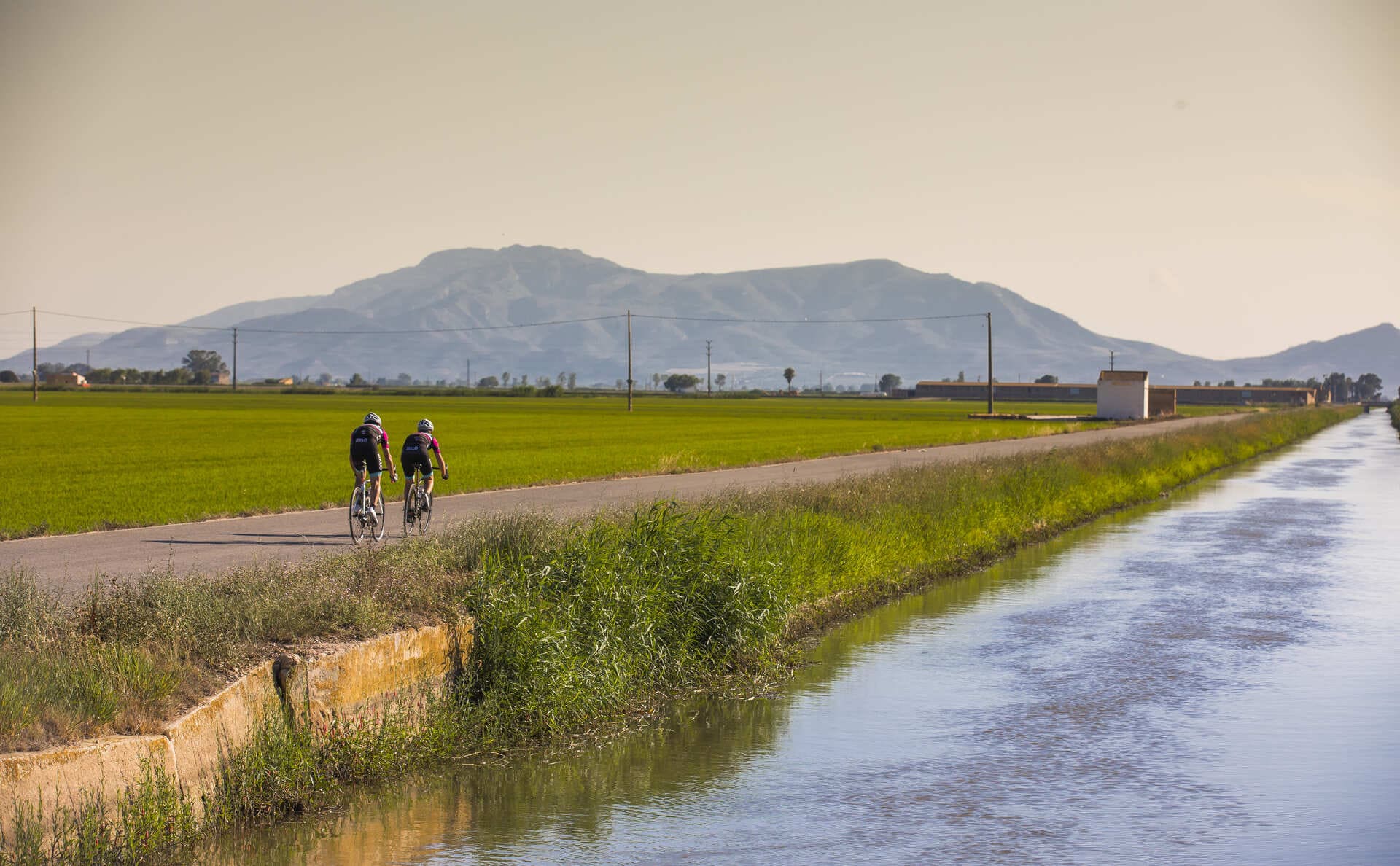
Route starting from Amposta, leaving the Tourist Office and heading into the southern edge of the Ebro Delta up to the protected area of great natural interest, the Encanyissada. Approaching the Amposta riverside promenade first offers a great view of the Ebro River and the Pont Penjat, inaugurated in 1920. The route leaves the Ebro and Amposta to follow a section of the Camí de la Senyora, already surrounded by small constructions and the first rice fields. The Ullals de Baltasar provide a leisure and shaded area amid these wonderful freshwater springs, which can be visited along two interpretive trails. Following the Camí de l’Anglès and then the Gran canal, one can observe the large hydraulic constructions of the Delta, ending with a loop around the Encanyissada and arriving at the Casa de Fusta information center and recreational area.
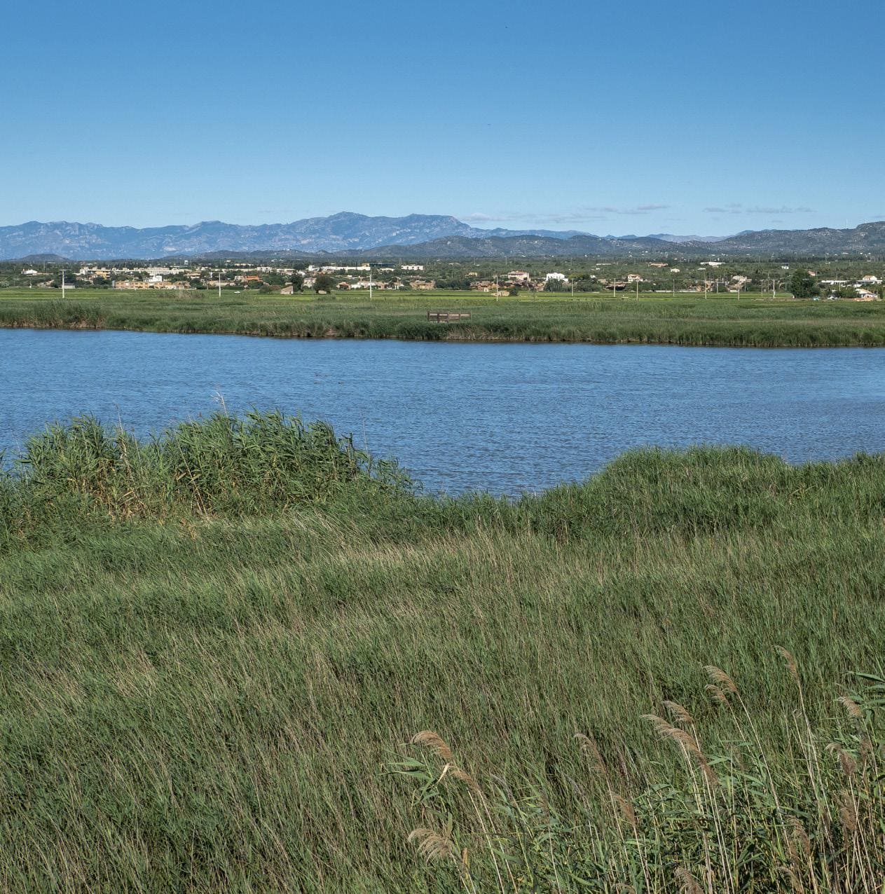
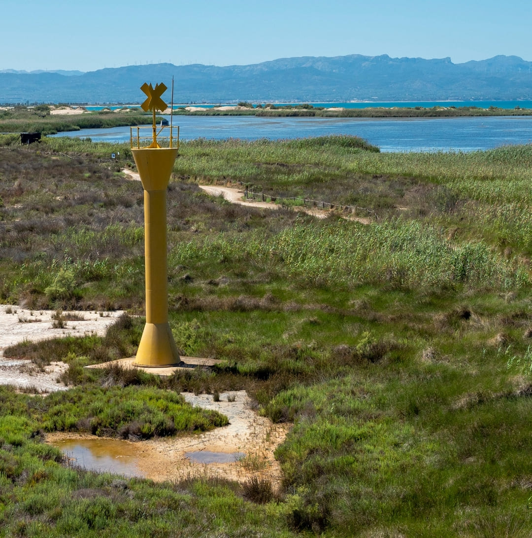
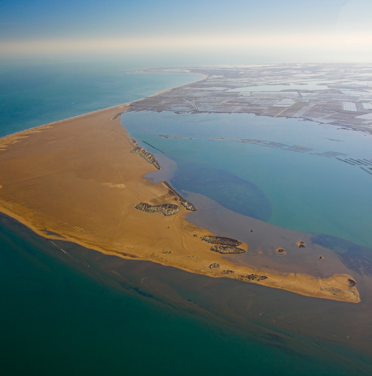
The Ebro Delta is the largest aquatic habitat in Catalonia. The river, the sea, bays, beaches, dunes, marshes, riparian forests, ponds, and lagoons form its natural landscape, which, together with the rice fields and orchards, hosts a rich biodiversity. The uniqueness of the Delta is expressed in its physical and natural reality, as well as in its distinctive culture, heritage, history, and traditions. The Delta serves as an inspiring example of how we can maintain a balance between sustainability and development to continue enjoying a fair and acceptable way of life.
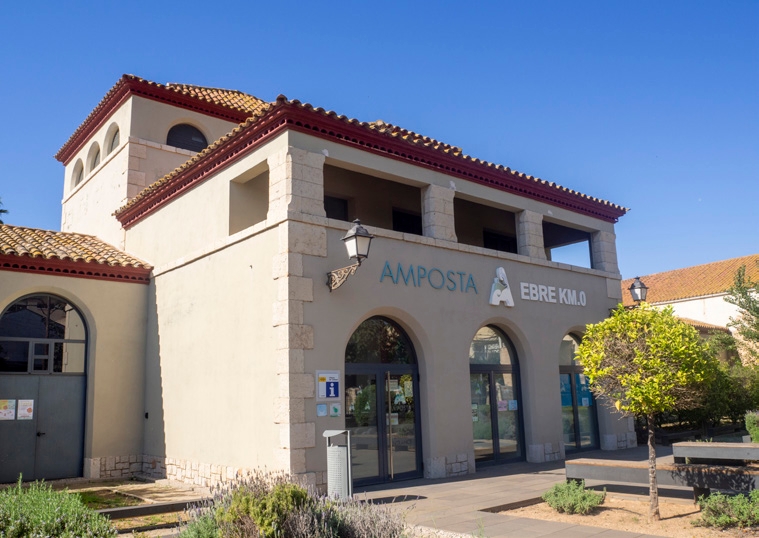
Amposta Tourist Office
Located in the building of the old municipal slaughterhouse, the office offers tourist information about Amposta and the entire Ebro Delta, together with the Espai Ebro Km 0 for the promotion of gastronomy.
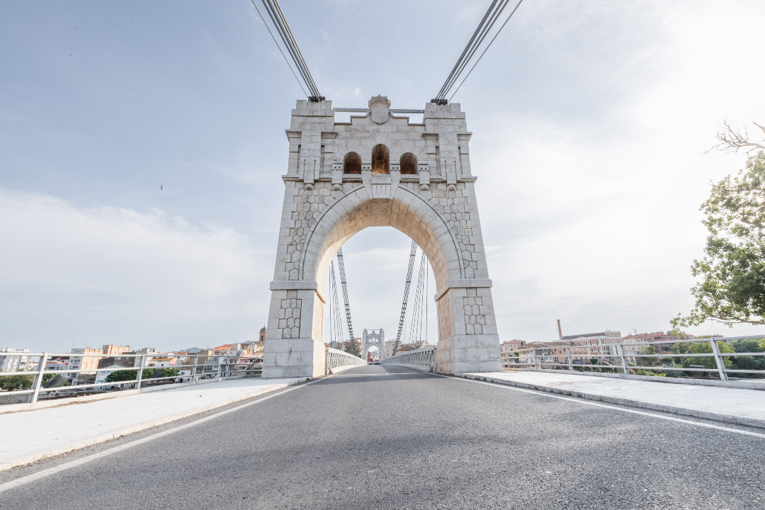
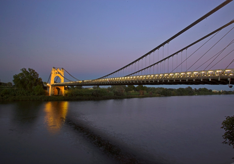
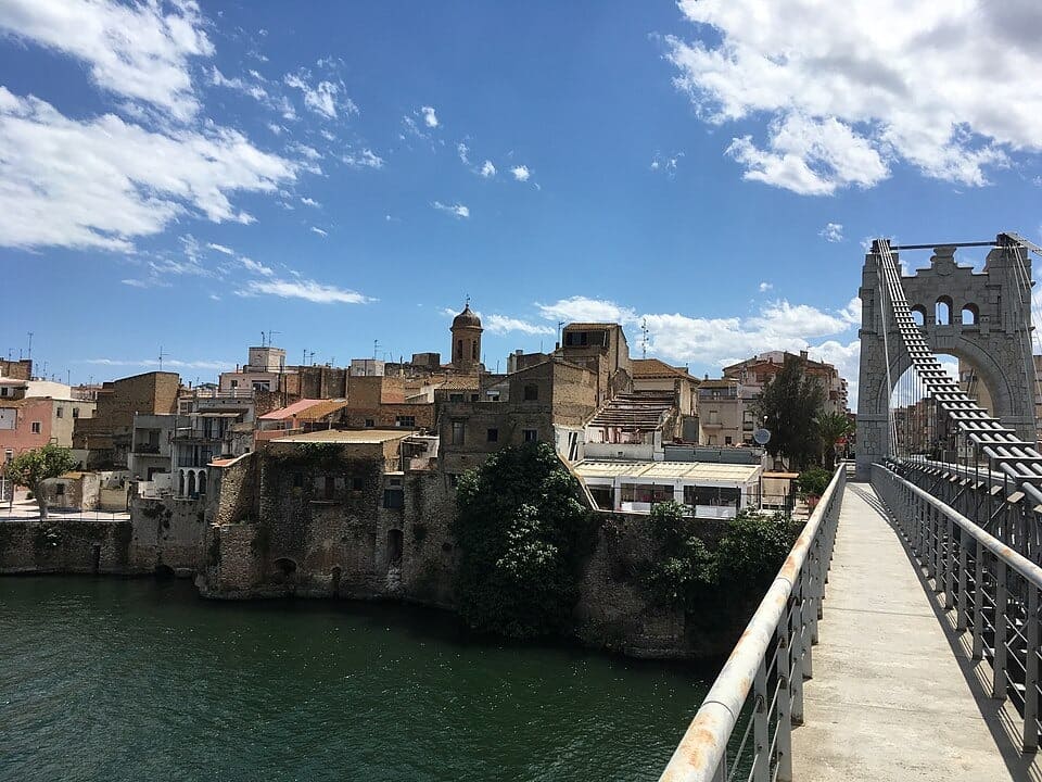
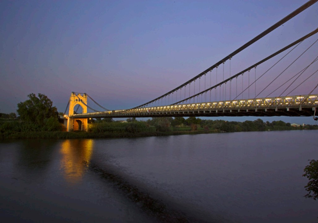
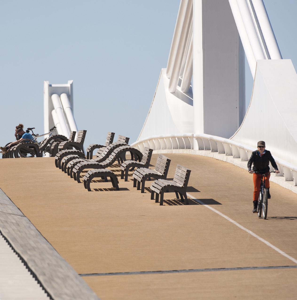
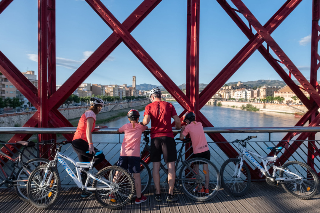
Amposta Suspension Bridge
From the River Walk you can see the Ebro River passing through Amposta and the impressive Suspension Bridge, inaugurated in 1920. The boat crossing was the traditional historical way of crossing the Ebro River.
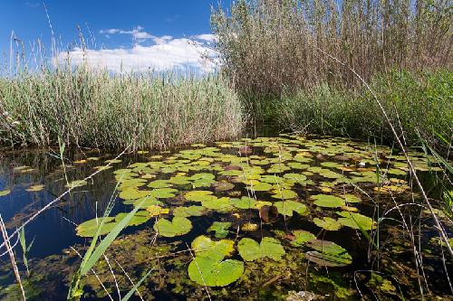
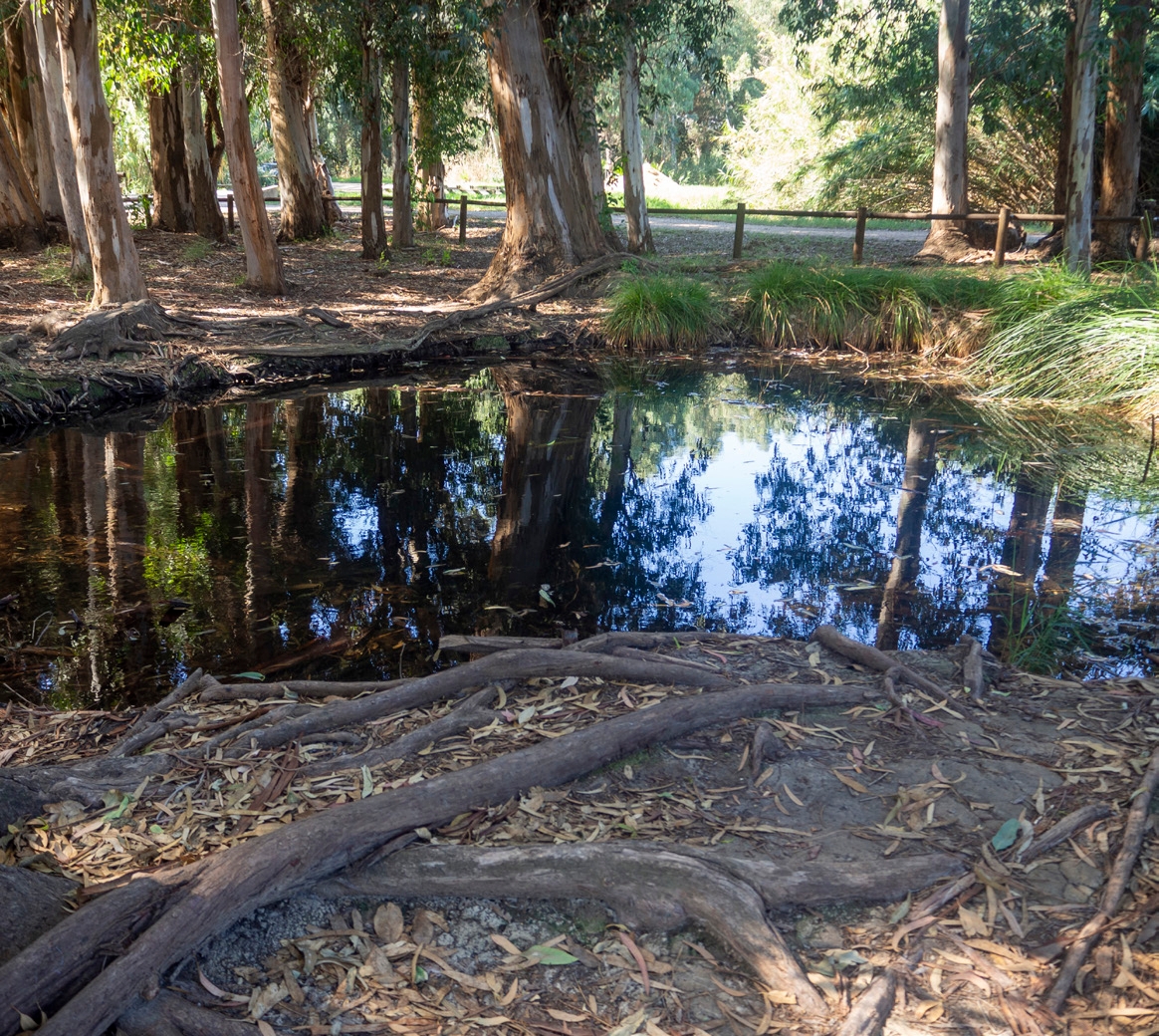
Ullals de Baltasar
Surrounded by rice fields, these freshwater springs from the Montsià and Ports mountains offer shady areas and characteristic flora and fauna.
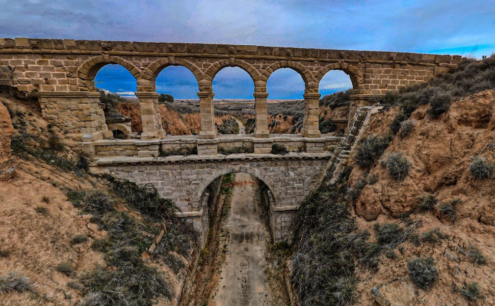
La Torica Aqueduct
Old railway aqueduct on the Val de Zafán line that allowed small ravines to be crossed, today integrated into the greenway as a unique element of historical engineering.
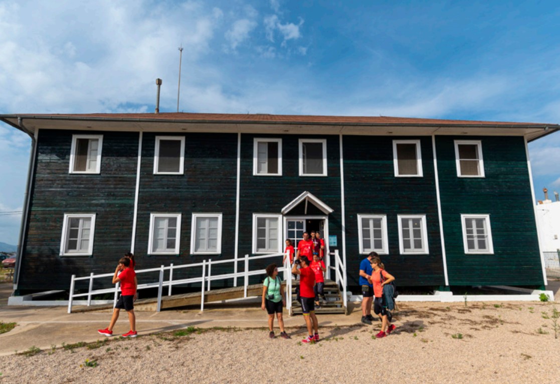
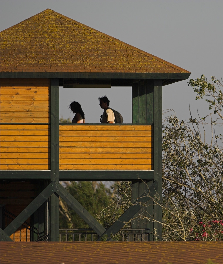
Wooden House
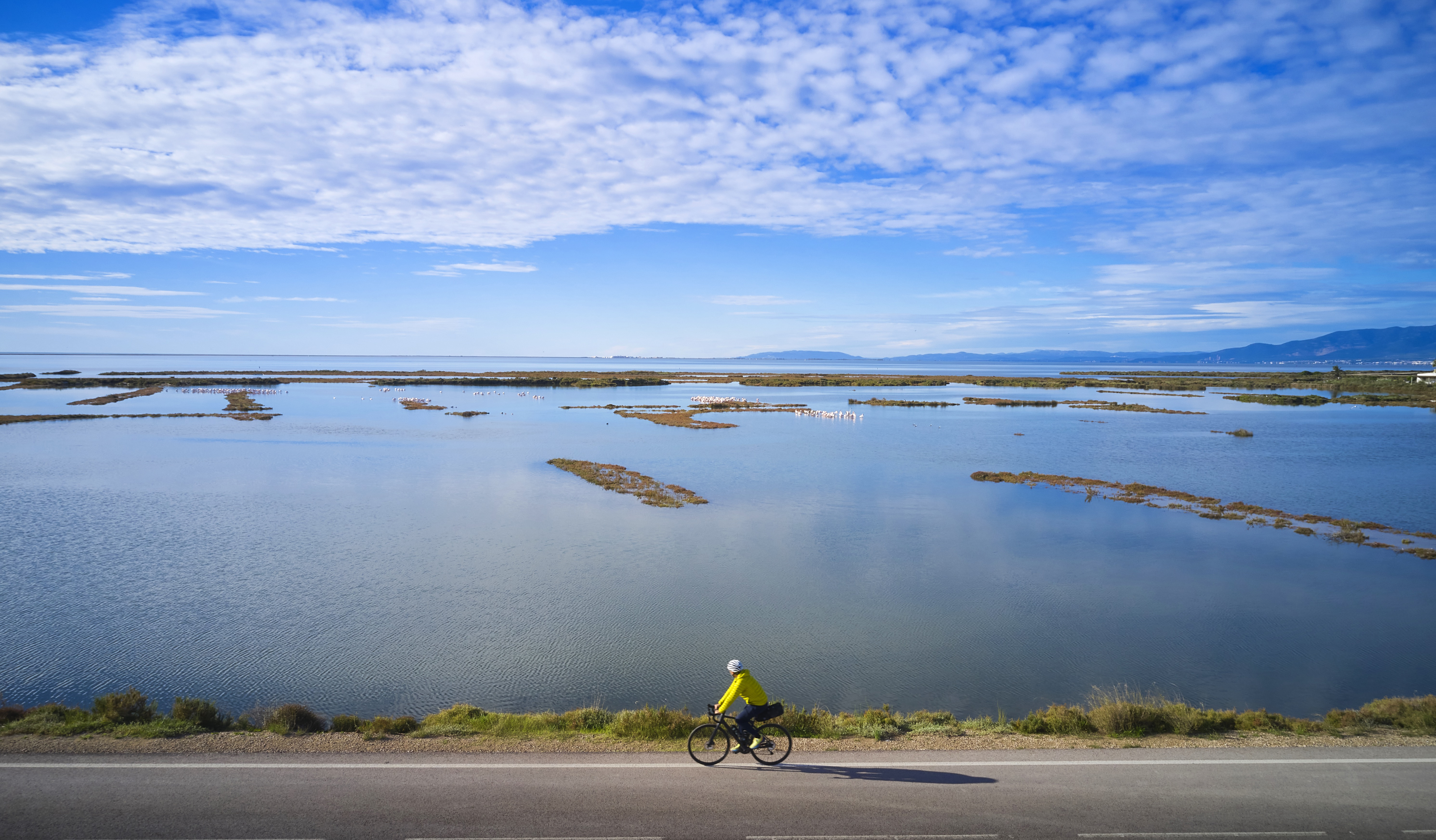
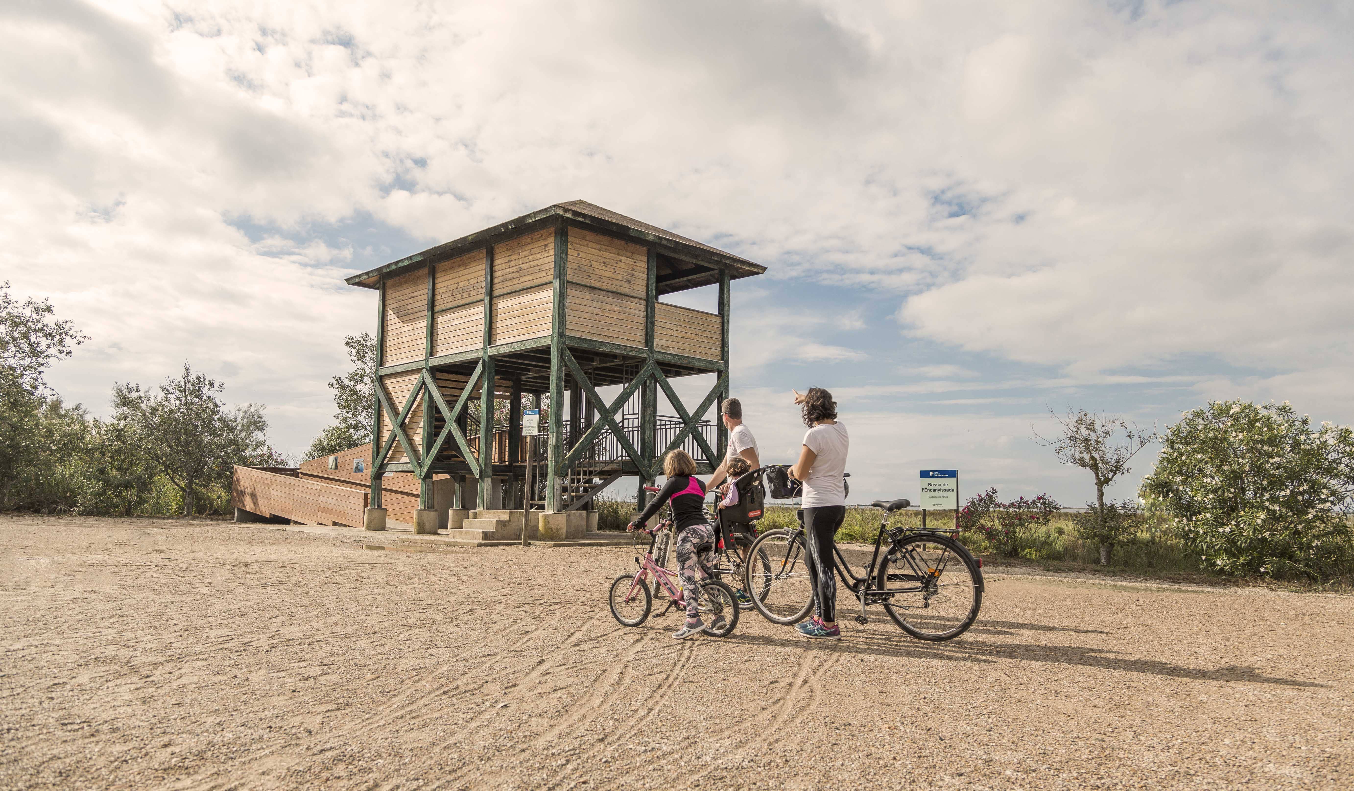
The Wooden House is one of the most distinctive elements of the Ebro Delta. It was built at the end of the 1920s by a group of hunters attracted by the variety and quantity of birds that inhabited this natural space. It is currently the interpretation center of the Ebro Delta Natural Park, located in the Encanyissada lagoon. Inside there is an ornithological museum, with a representative collection of the bird species that inhabit the area. Outside the Casa de Fusta, there is a viewpoint overlooking the Encanyissada lagoon, an ideal spot for bird watching.
Tips
- Enter a natural area shared with an agricultural community and learn about the values of the area at the Park’s information centers: the Ecomuseum (tel. 977 489 679) and the Casa de Fusta (tel. 667 001 382).
- It is necessary to bring a helmet, food, and sufficient water. Carry your mobile phone and keep the battery charged; in case of emergency, call 112. Depending on the season, it is advisable to bring sunscreen and insect repellent.
- The terrain is completely flat, but pay attention to the usual winds in the area.
- Check the weather forecast before heading out at meteo.cat.
- It is recommended to carry materials for puncture repairs.
- Use the viewpoints to enjoy the delta landscape. Bring binoculars for birdwatching.
Amposta is a Spanish municipality and town in the province of Tarragona, in the autonomous community of Catalonia. It is the capital of the Montsià region. Located at an altitude of 8 m above sea level, on the banks of the Ebro River, the municipality has a population of 22,637 (INE 2024). Its economic activity is mainly agriculture (rice farming) and services. In the final years of the 20th century, a small but important industrial sector emerged based on the food, paper and packaging industries, furniture, and a multitude of small machinery workshops. In addition to the city of Amposta, the municipality includes the town of Poblenou del Delta and part of Balada.
- As the route is linear and offers several options for parking vehicles along the way, you can adjust the itinerary according to your needs and abilities.
- Respect the signage and areas with restricted access.
- It is strictly forbidden to light fires.
- Respect the flora, fauna, and the environment. Collecting animal or plant species, whether alive or dead, is not allowed.
- Camping is only permitted in established campsites.
- In protected areas, it is forbidden to have dogs off-leash. Launching and landing drones is also prohibited.
- It is forbidden to leave trash, except in designated disposal areas.
THE ZAFÁN GREENWAY GAME
Explore, learn, and have fun with Antoni and Clara as you travel the routes of the Zafán Valley. Each stop is a new adventure, every challenge a story waiting for you!
Comença a jugar!Along your route, you'll find challenges and activities to earn points, solve clues, or win virtual prizes.
Join our games and become an expert on the Zafán Greenway.
Available games (2)
Observe birds
Find the bird-watching spot along the route, scan the QR code, and answer three questions to earn your badge.
More informationPhotograph shells
Upload a photo to Instagram of the shells you find on the beach using the hashtag #conchasdelFalgar
More information
Weather forecast
Today, Monday, Amposta

Clear
3 km/h
29ºC max
26ºC min
No rain forecast
Next days forecast

Tuesday
32º max
23º min
Wednesday
30º max
24º min
Thursday
30º max
24º min
Friday
30º max
24º min
Other routes you may like...
La Ràpita - Amposta - L'Aldea - Camarles - L'Ampolla (Porta del Delta)