Desembocadura - Garxal - Riumar
Cycling route through the Ebro Delta Natural Park
Route characteristics
- 6,9 km
- 1 m
- 4 m
With traffic Motorized vehicles are frequent.
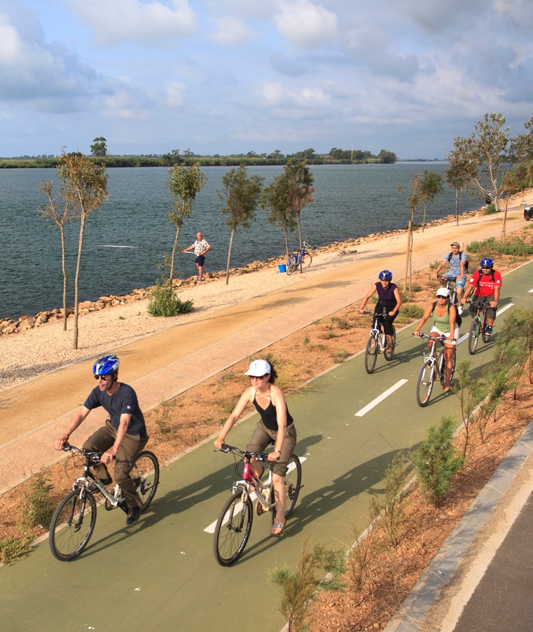
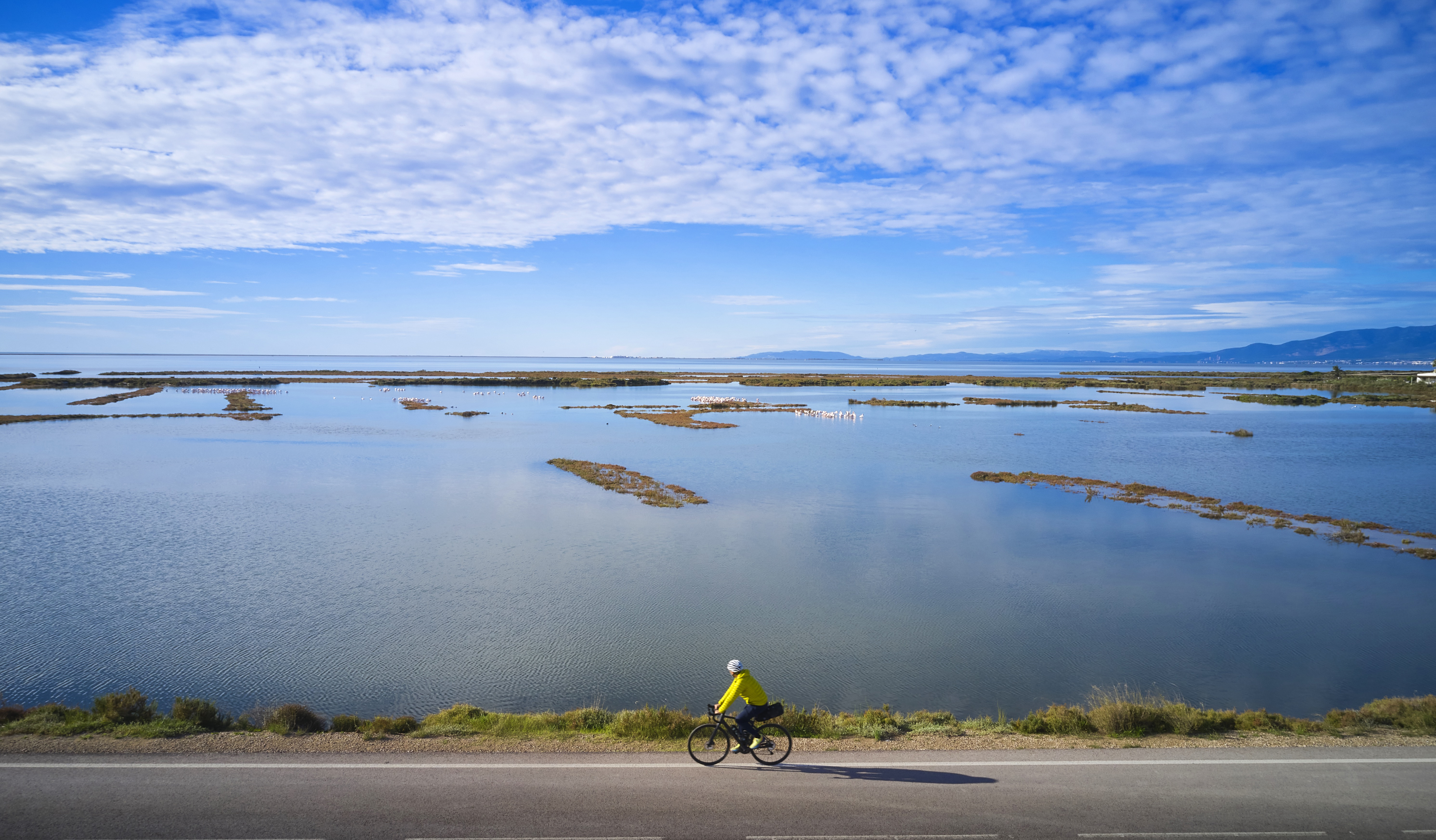
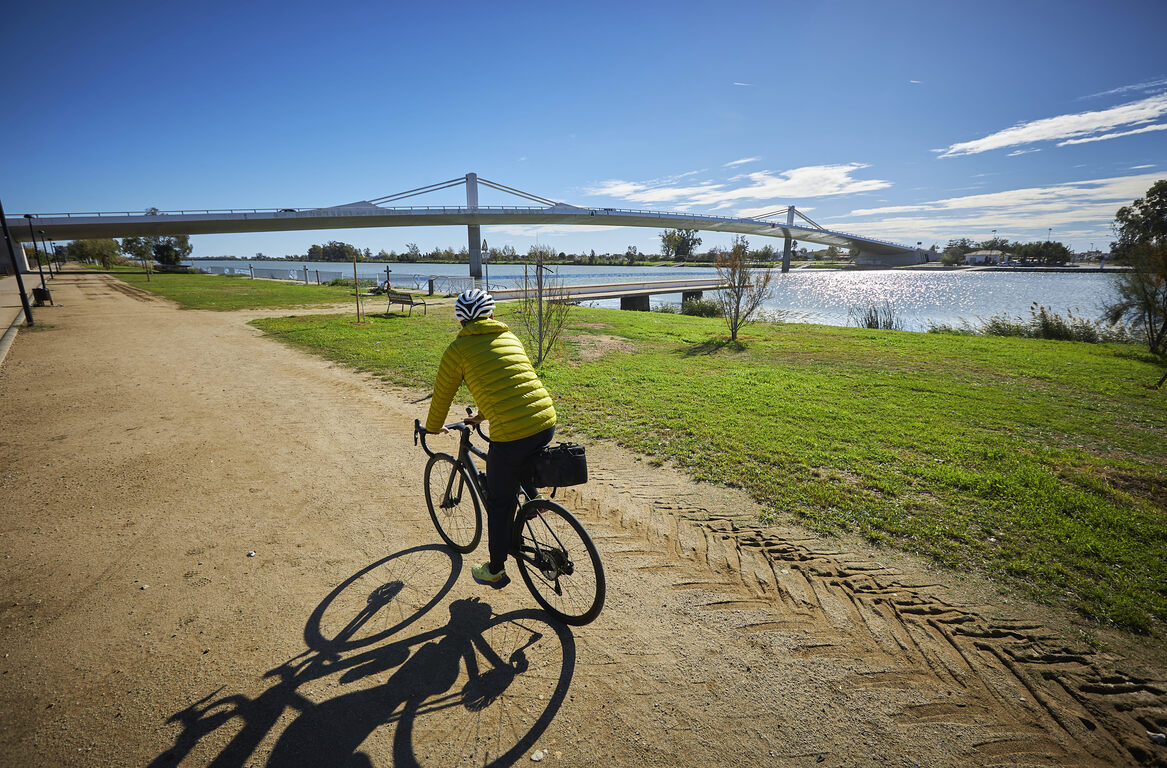
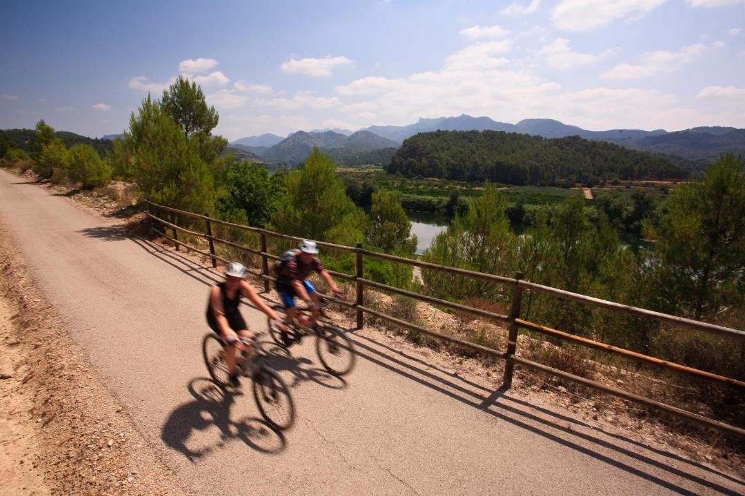
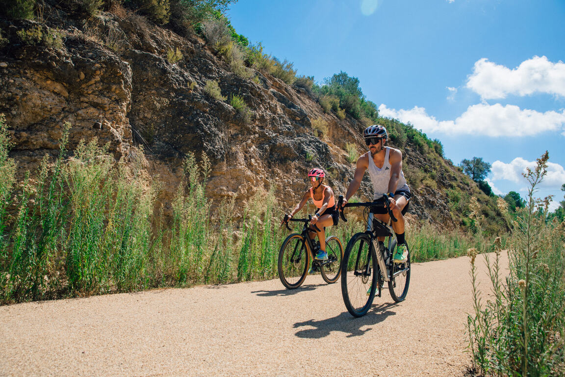
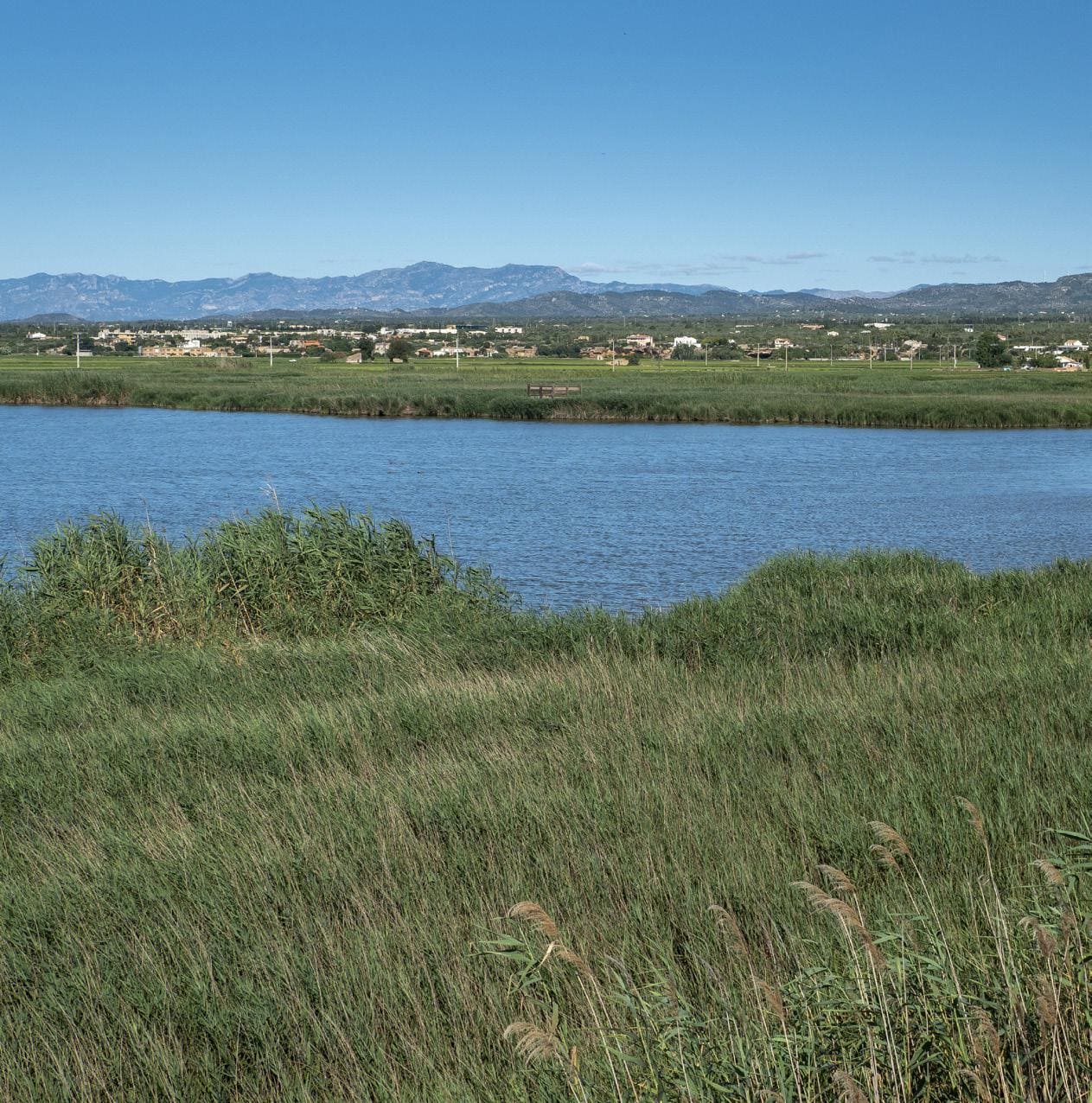
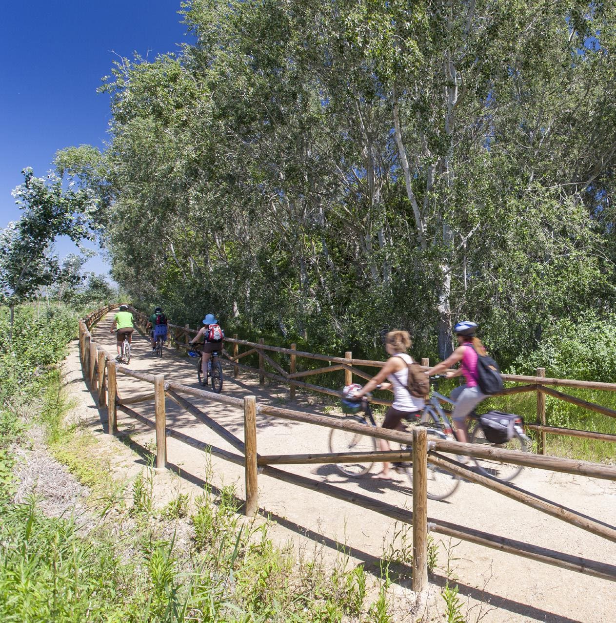
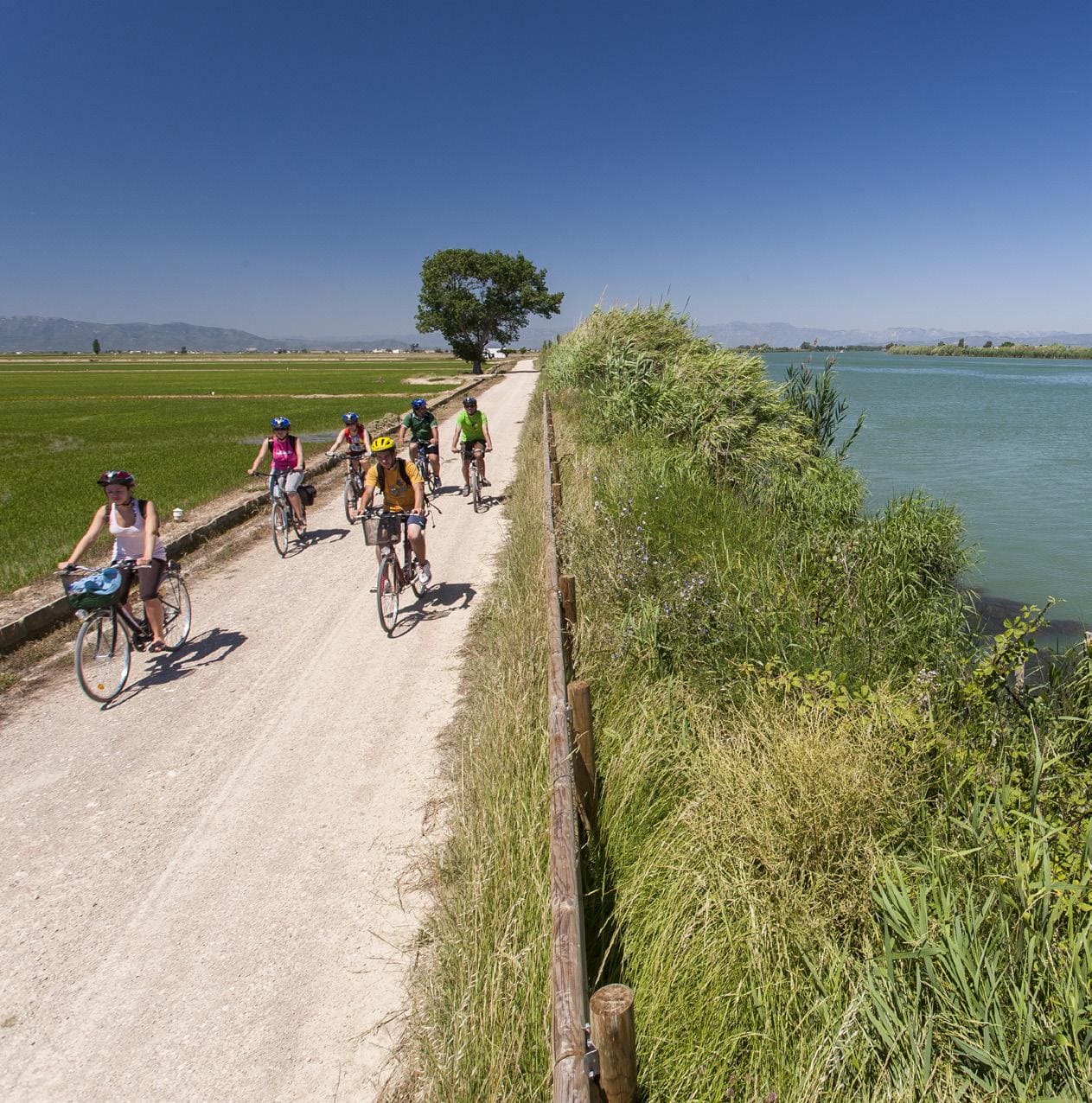
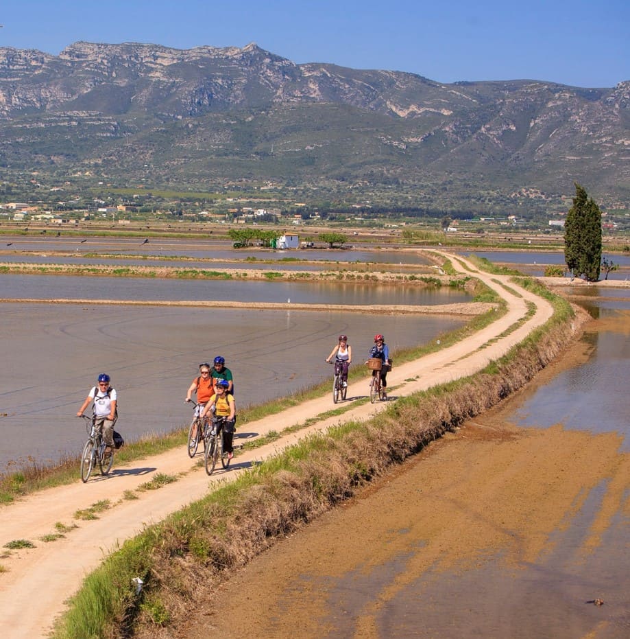
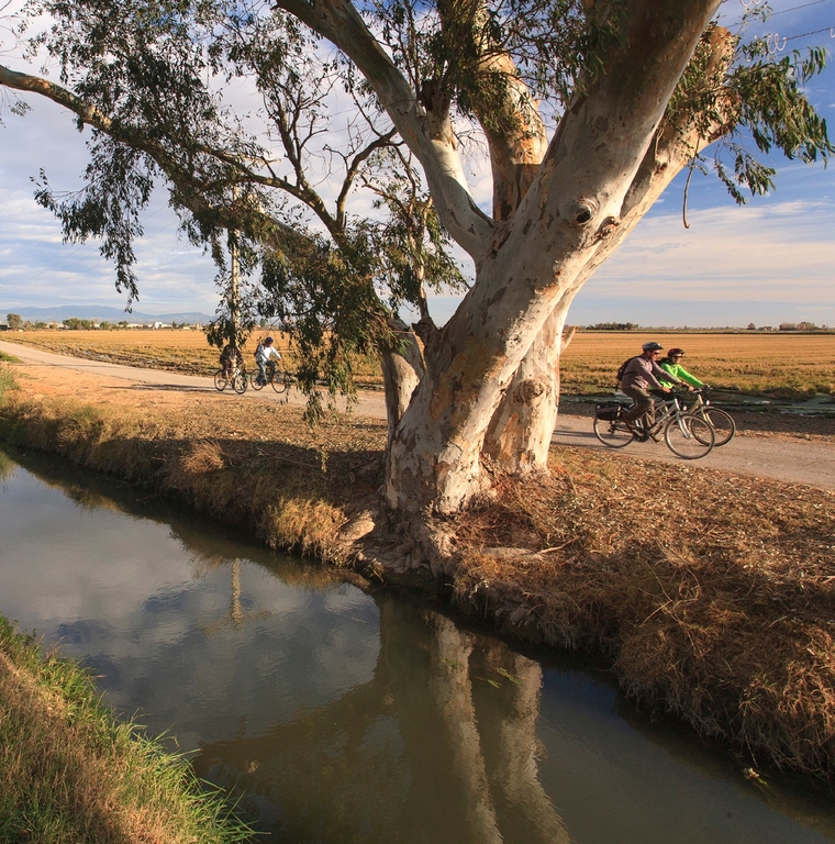
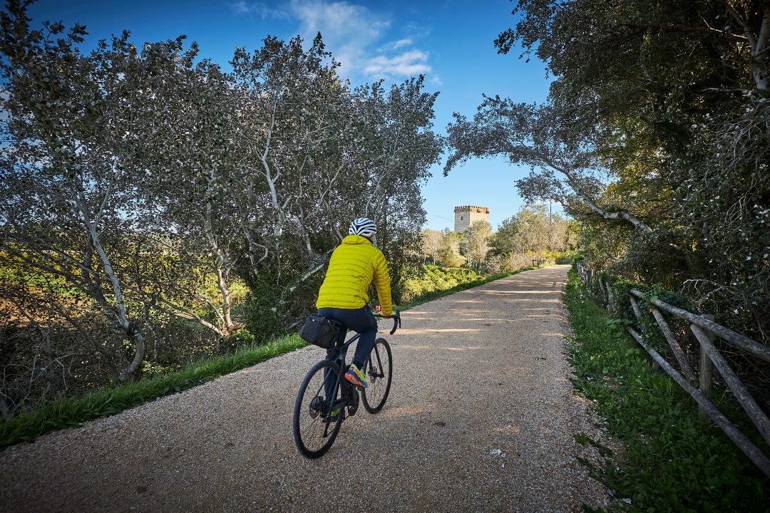
A cycle tour that takes us along the final stretch and mouth of the Ebro River, the Garxal pond and the town of Riumar. We start on the river promenade, where we take the cycle path that we follow to the Zigurat viewpoint, from where we enjoy good views of the mouth, the island of Buda, the island of Sant Antoni and the Garxal pond. We turn left, leaving the river behind and the Garxal lighthouse on the left. We continue along a dirt track; two wildlife viewpoints (the second largest and adapted) allow us to observe the fauna present in the Garxal pond. We arrive in Riumar and follow the seafront promenade next to the beach. At the end of the promenade, we turn left, go around the entire urbanization and, after some rice fields, we arrive at the port of Deltebre and, then, at Muntell de les Verges. The itinerary can also be done on foot.
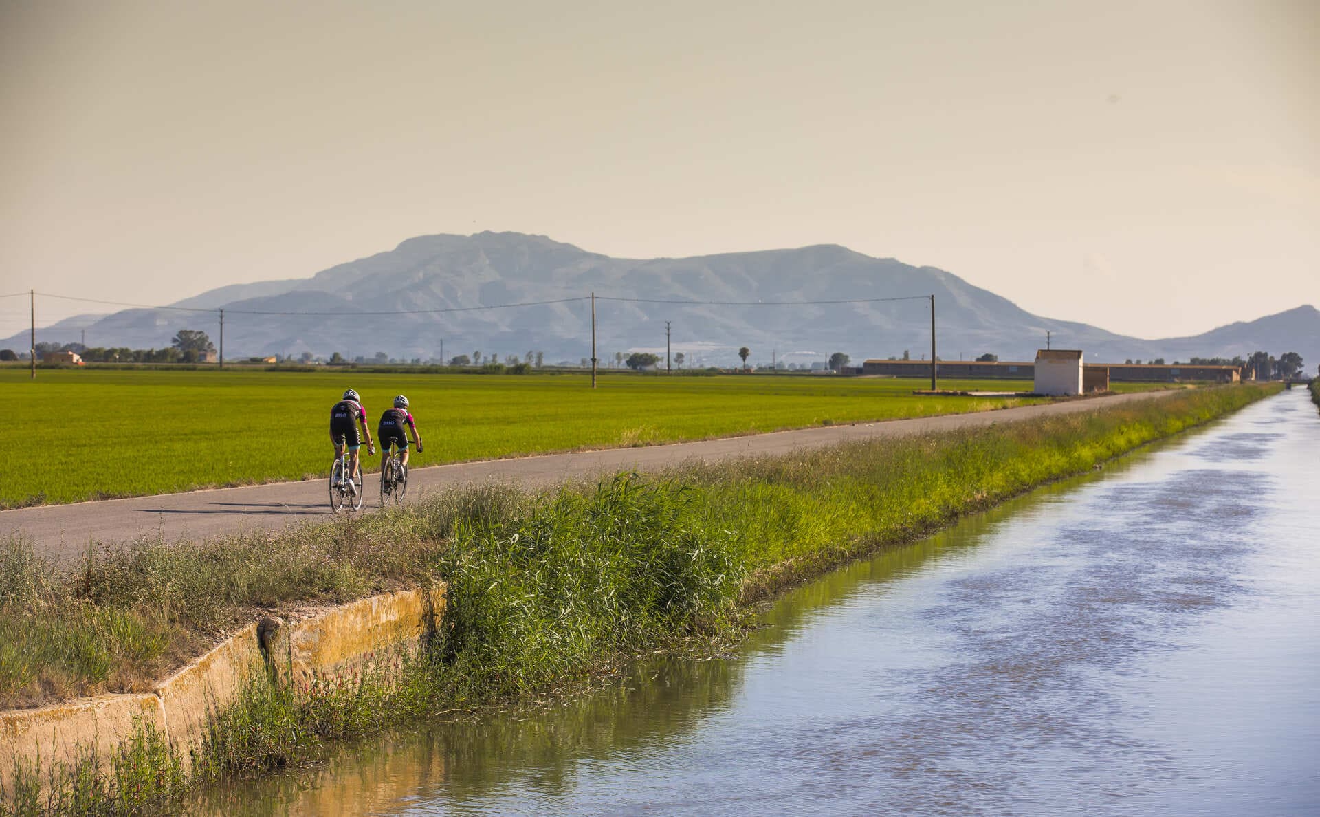
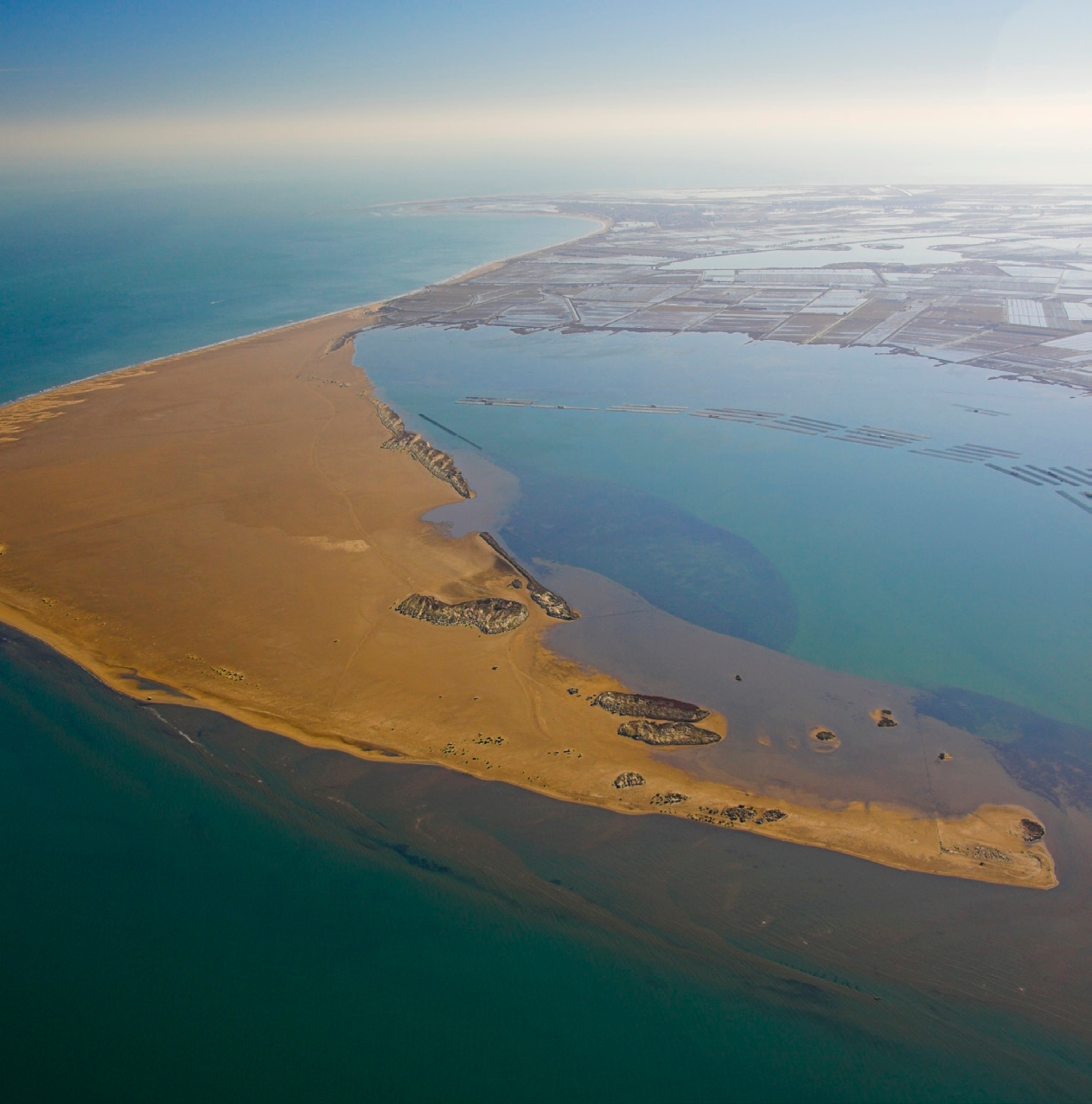
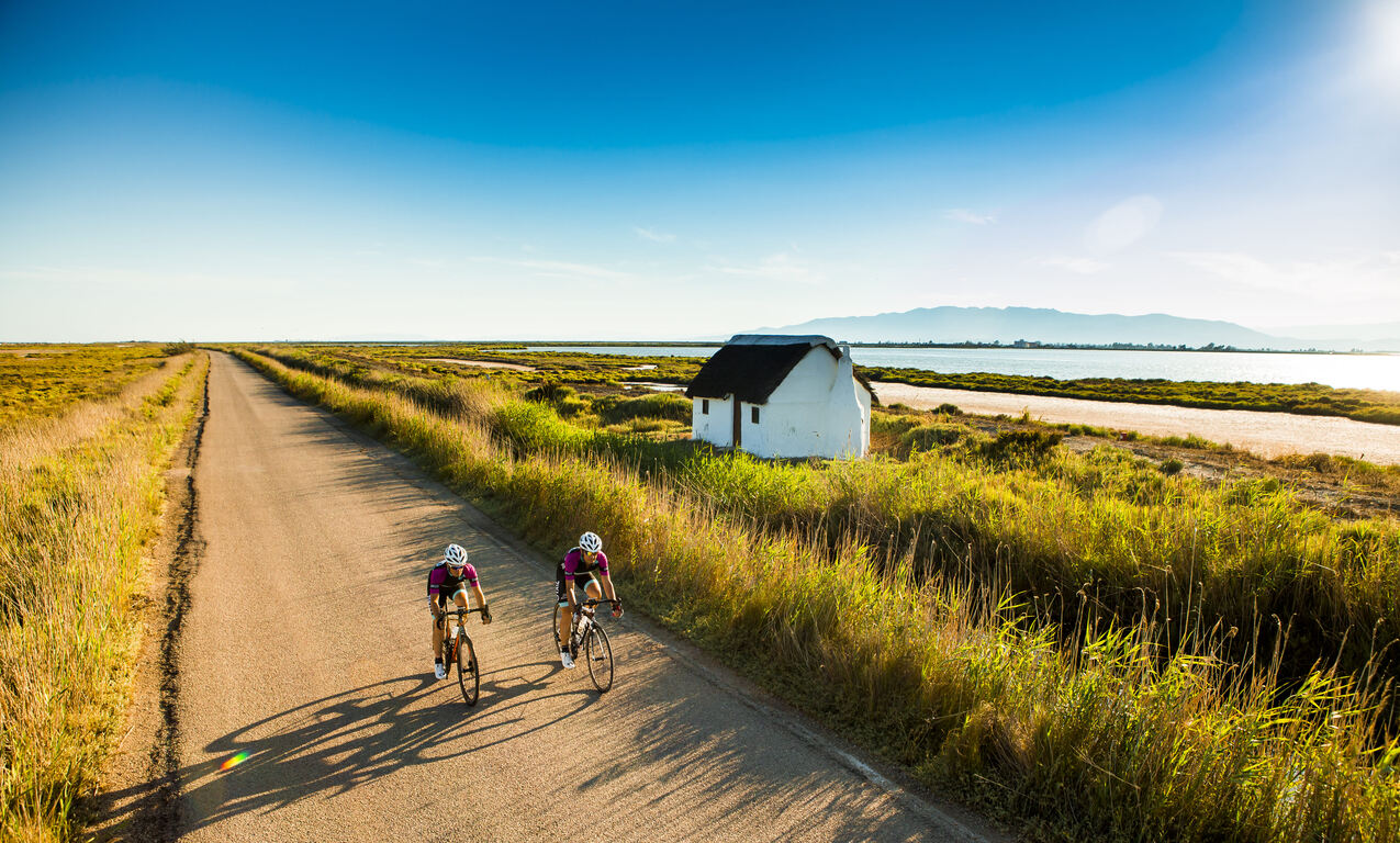
The Ebro Delta is the largest aquatic habitat in Catalonia. The river, the sea, bays, beaches, dunes, salt marshes, riverside forest, ponds and gullies form its natural landscape which, with the rice fields and the vegetable garden, host a rich biodiversity. The uniqueness of the Delta is expressed in its physical and natural reality and also in its particular culture, heritage, history and traditions. The Delta is an inspiring example of how we can maintain a balance between sustainability and development to continue enjoying a fair and acceptable lifestyle.
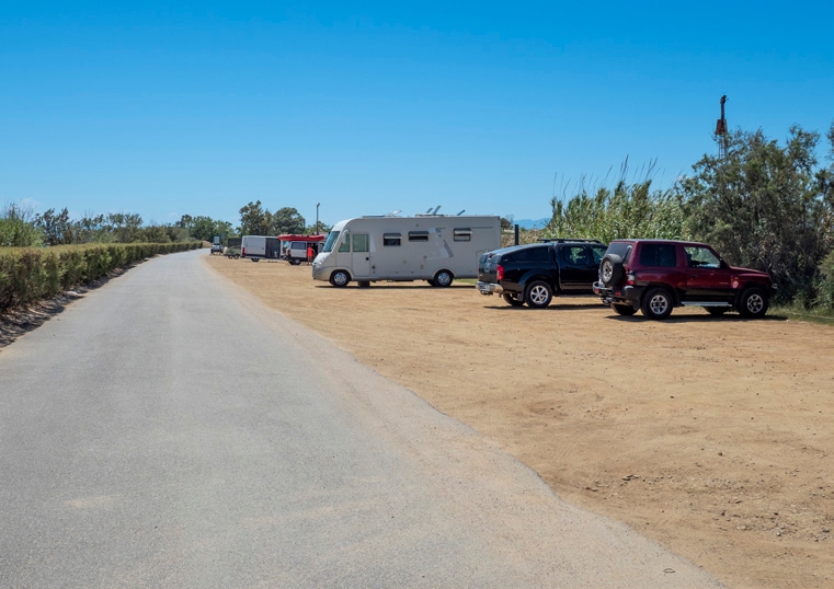
Riverside parking
Large dirt parking lot located very close to the Ebro River. Right next to the parking lot is the bike path that leads to the Ziggurat viewpoint.
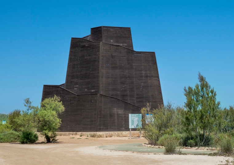
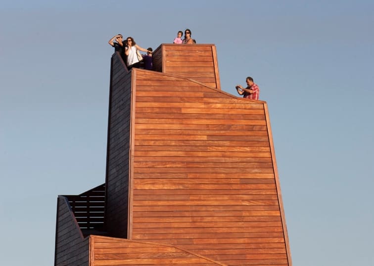
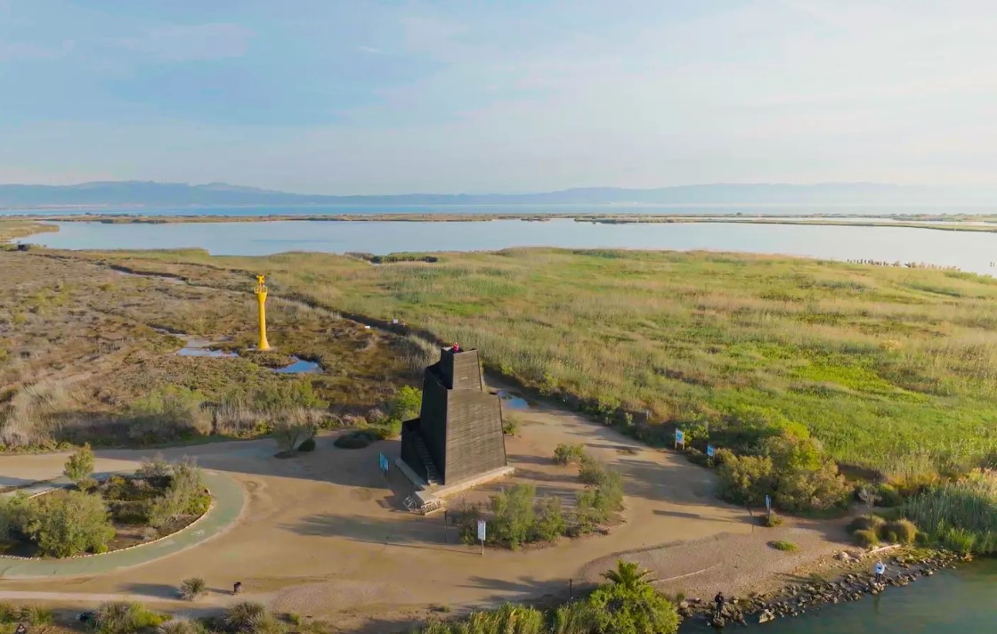
Ziggurat Viewpoint
A wooden viewpoint about 12 m high located at the mouth of the Ebro. It was inaugurated in 2015 and is one of the most popular points of interest in the Delta. It offers unbeatable panoramic views.
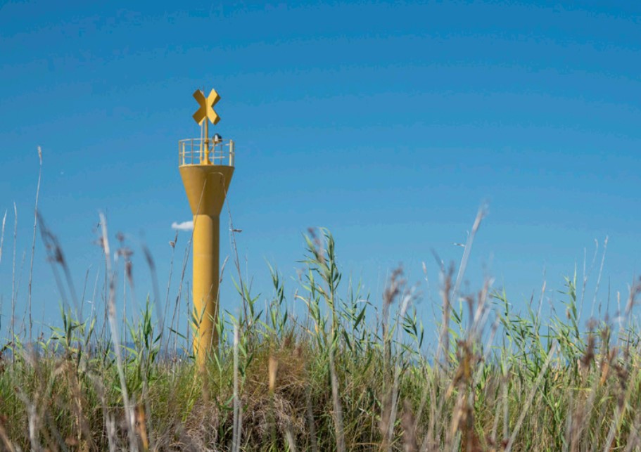
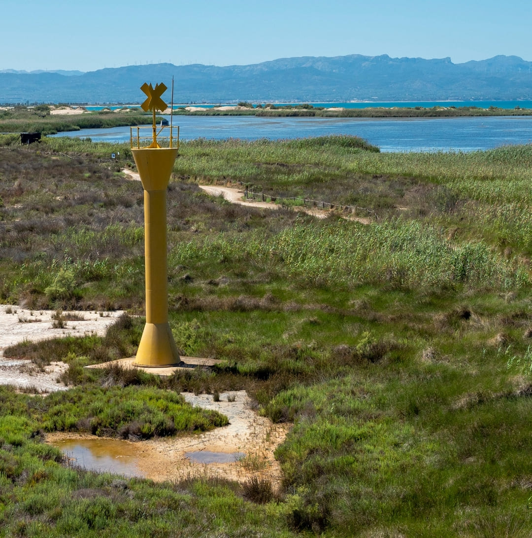
Garxal Lighthouse
Beacon located at the tip of Garxal. It is 12 m high. It is an automatic lighthouse and works with solar energy.
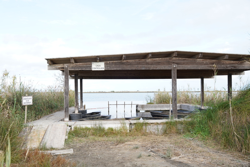
Garxal Pier
Pier located on the Garxal pond and built with wood. Access is restricted.
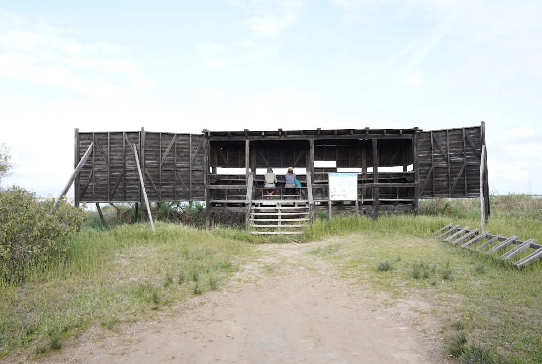
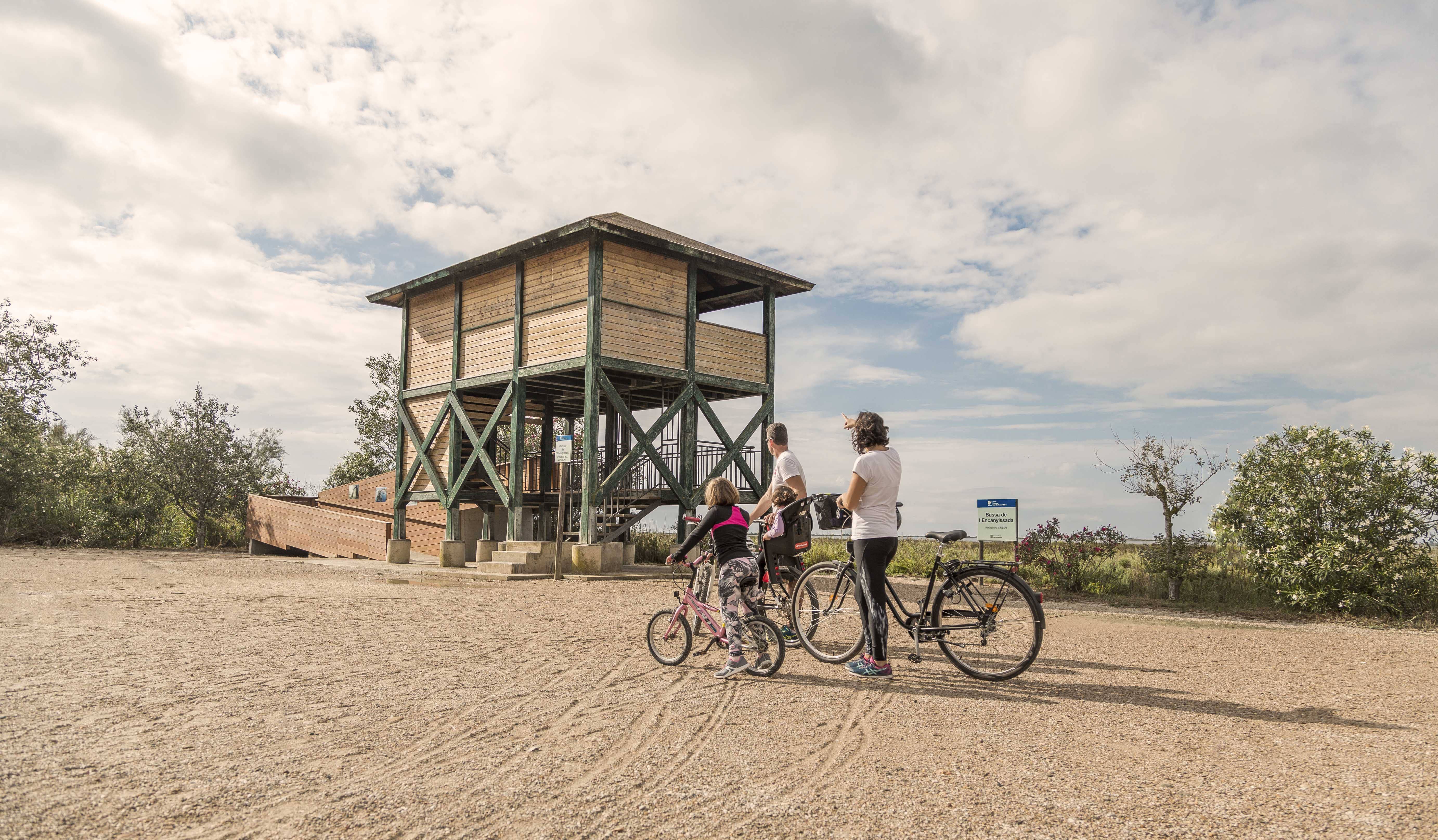
Adapted viewpoint of Garxal
Wildlife viewpoint located in the Garxal pond. It is ideal for wildlife lovers, to observe a wide variety of birds and other animals. The maximum capacity is 10 people.
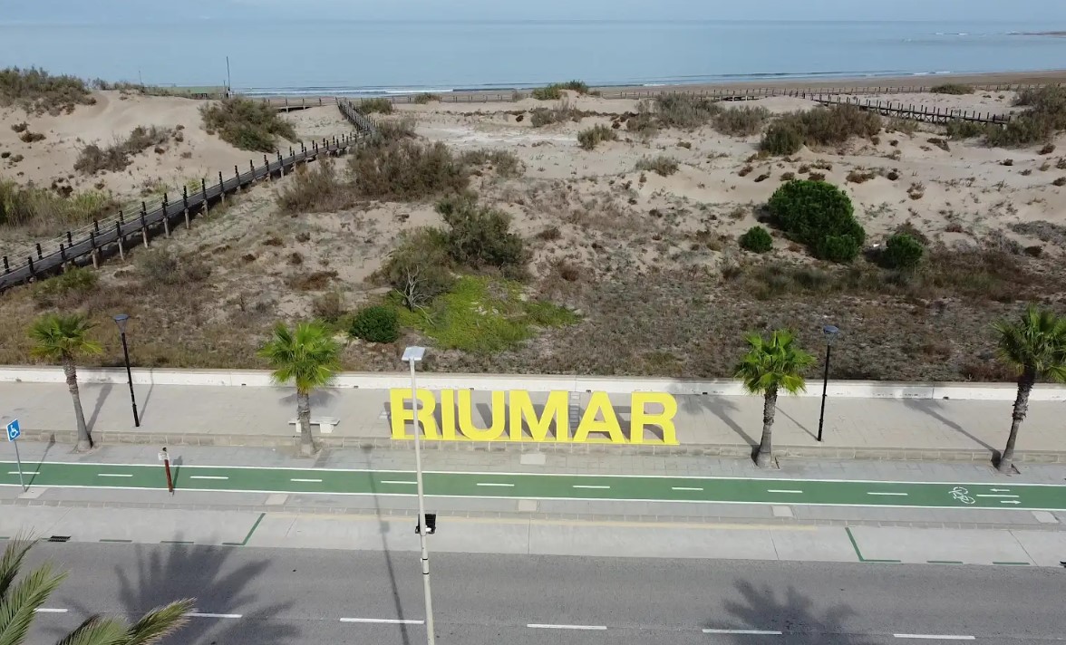
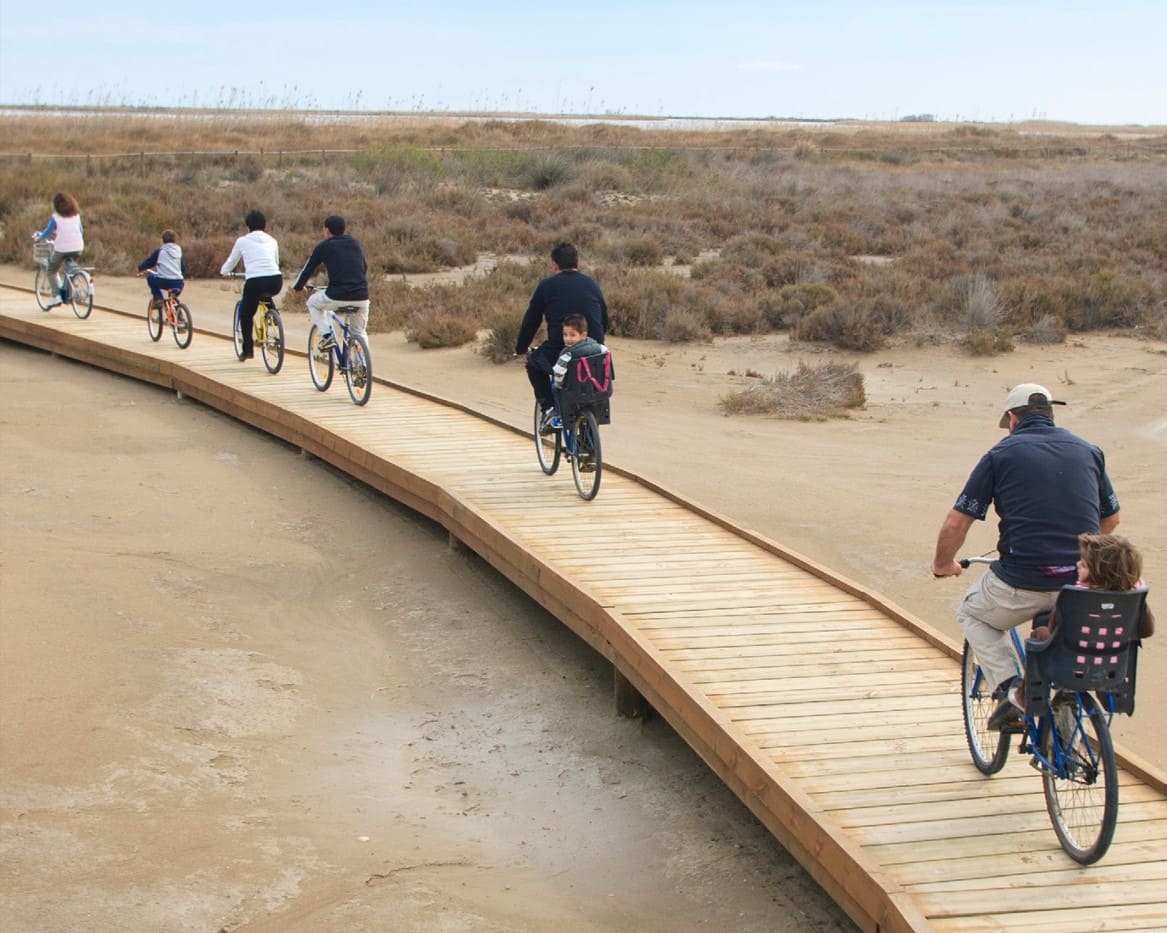
Riumar Walk
Seafront promenade located in front of Riumar beach. A bike path runs along the entire promenade. Several wooden platforms allow access to the beach.
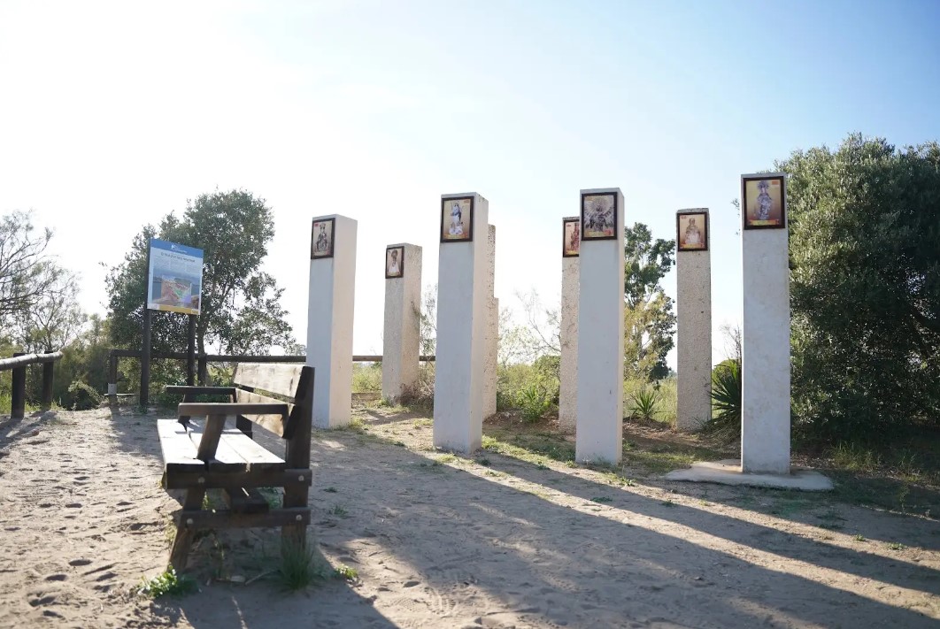
Hill of the Virgins
A 4 m high fluvial dune located on the left bank of the Ebro River where we find a monument with seven columns dedicated to the Marian invocations of the communities through which the Ebro River passes.


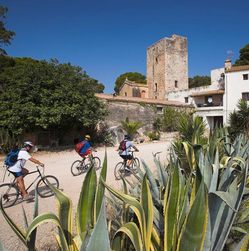
Deltebre is a young municipality located at the edge of the Ebre Delta. This fet, sens dubte, clearly marks the character of the people, and also provides a clue to deduce the orography and the intrinsic characteristics of the population.
THE ZAFÁN GREENWAY GAME
Explore, learn, and have fun with Antoni and Clara as you travel the routes of the Zafán Valley. Each stop is a new adventure, every challenge a story waiting for you!
Comença a jugar!Along your route, you'll find challenges and activities to earn points, solve clues, or win virtual prizes.
Join our games and become an expert on the Zafán Greenway.
Available games (2)
Observe birds
Find the bird-watching spot along the route, scan the QR code, and answer three questions to earn your badge.
More informationPhotograph shells
Upload a photo to Instagram of the shells you find on the beach using the hashtag #conchasdelFalgar
More information
Weather forecast
Today, Monday, Deltebre

Clear
5 km/h
29ºC max
26ºC min
No rain forecast
Next days forecast

Tuesday
32º max
24º min
Wednesday
29º max
25º min
Thursday
29º max
25º min
Friday
29º max
25º min
Other routes you may like...
La Ràpita - Amposta - L'Aldea - Camarles - L'Ampolla (Porta del Delta)