Sirga Road
Cycling route through the Ebro Delta Natural Park
Route characteristics
- 45 km
- 4 m
- 9 m
With traffic Motorized vehicles are frequent.
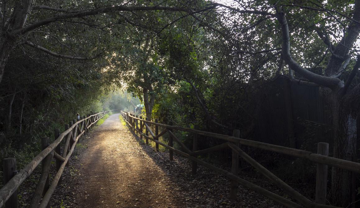
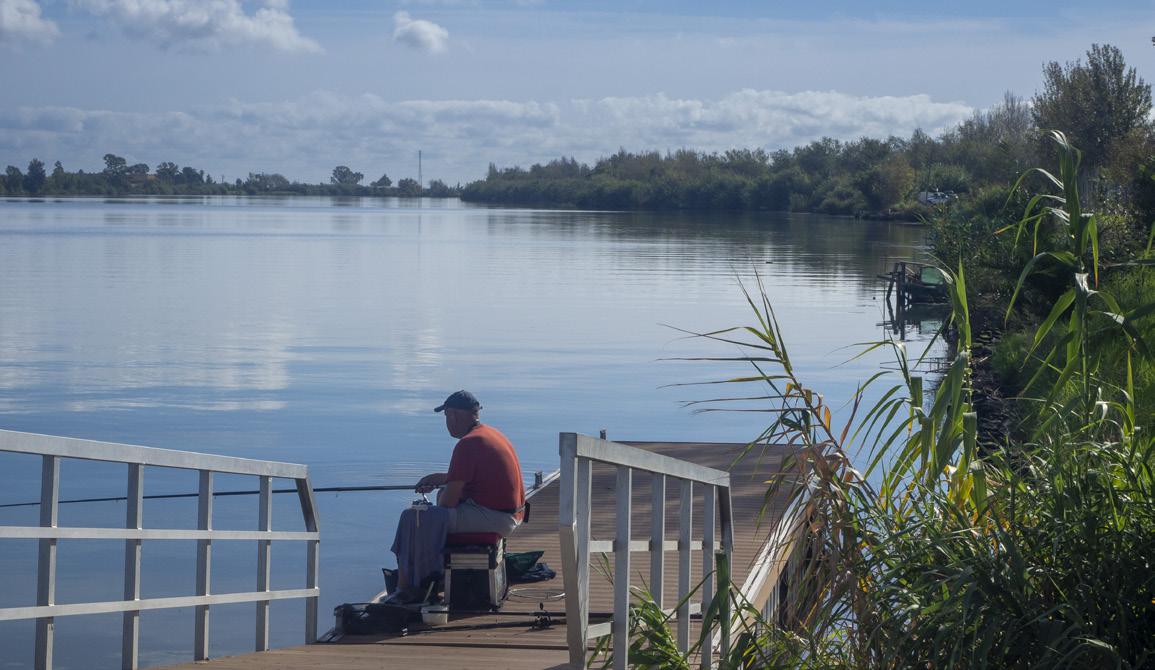
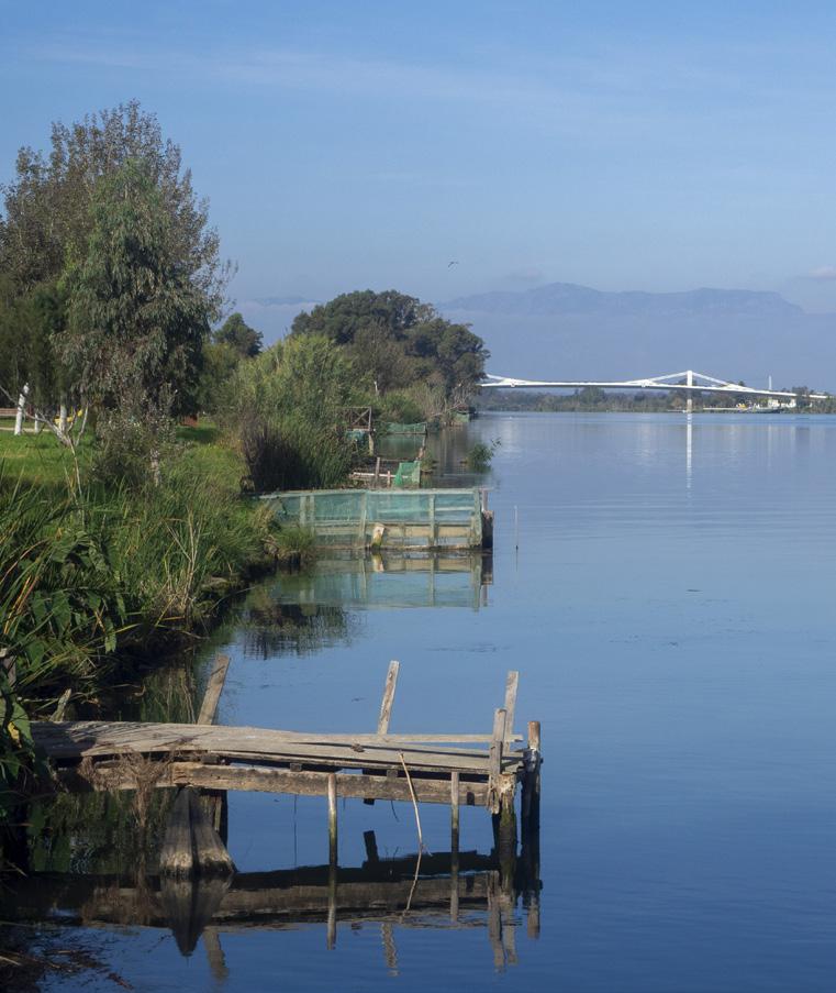
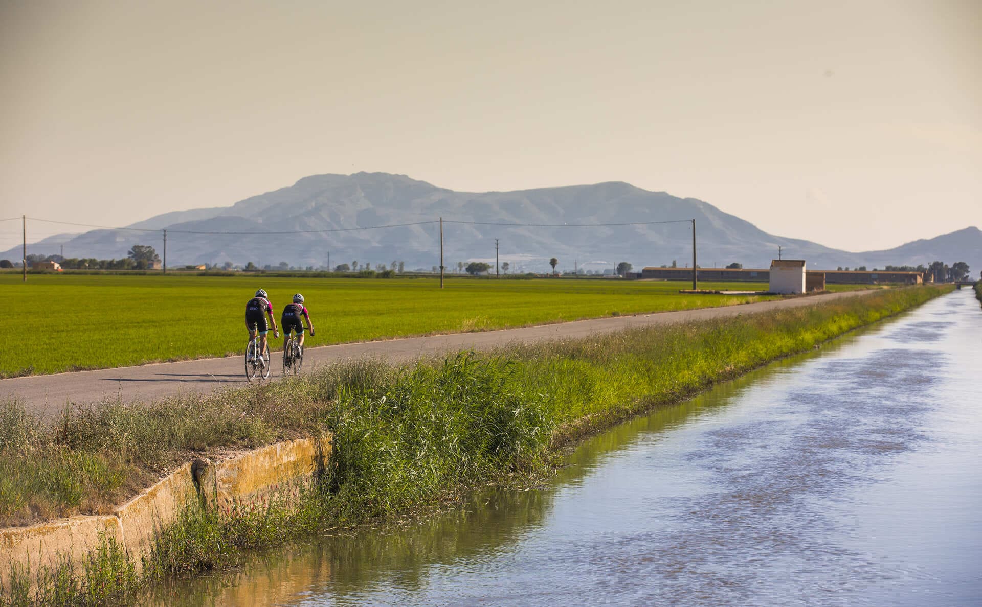
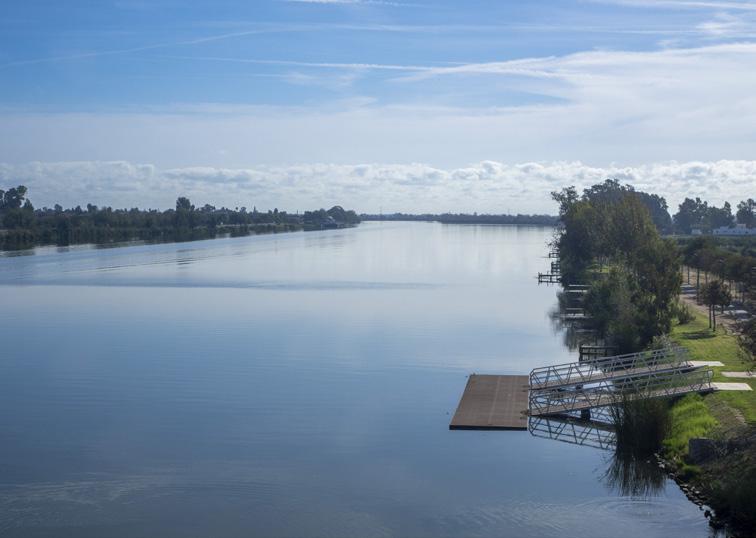
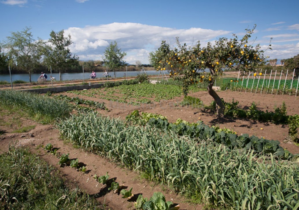
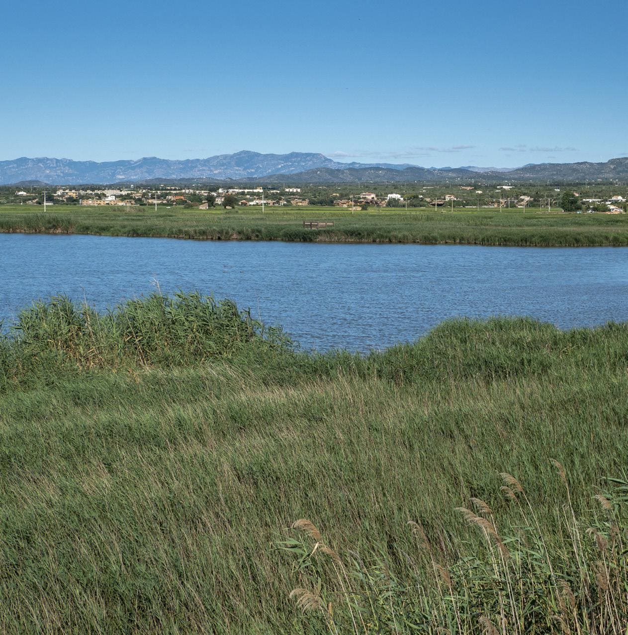
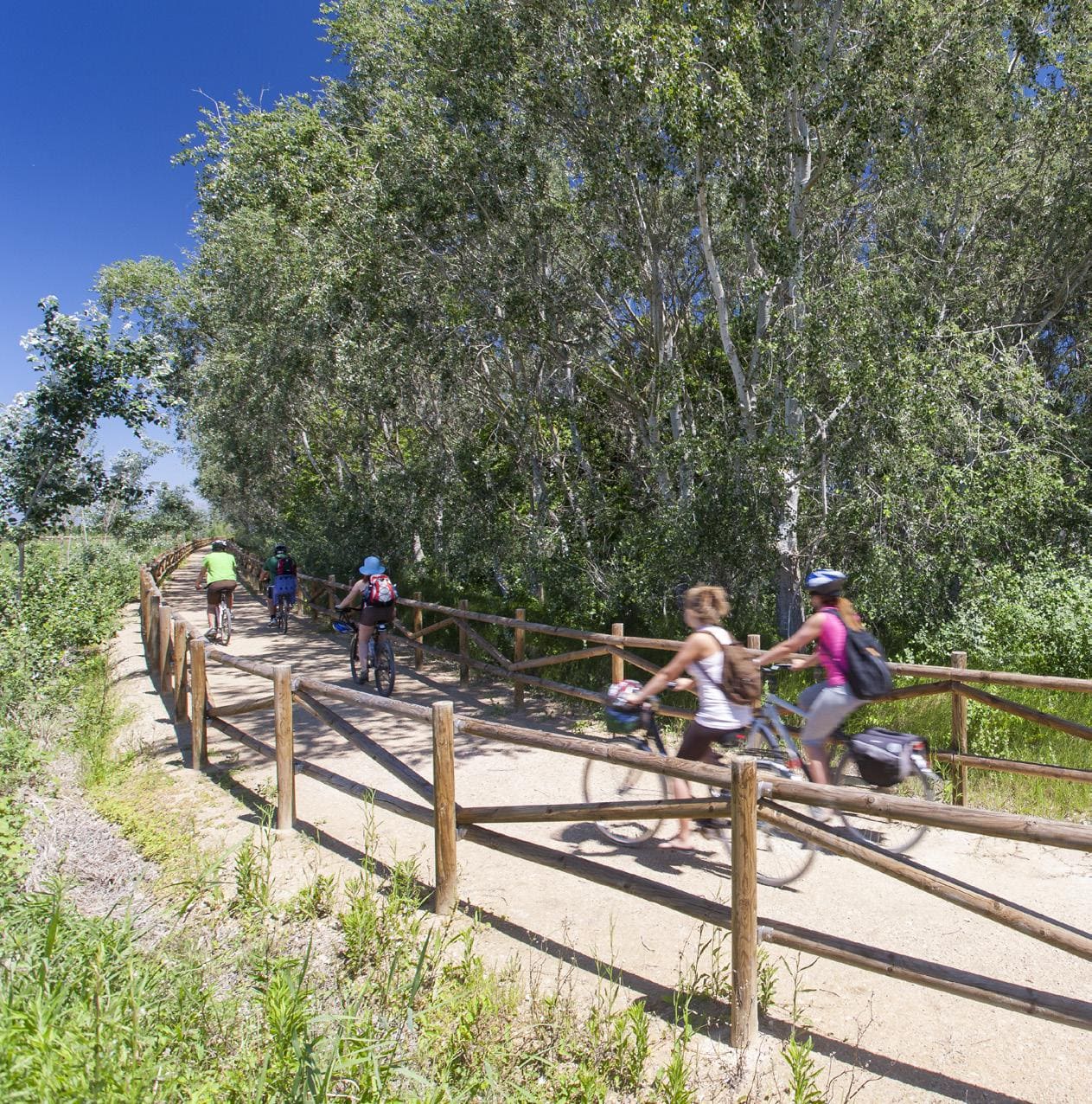
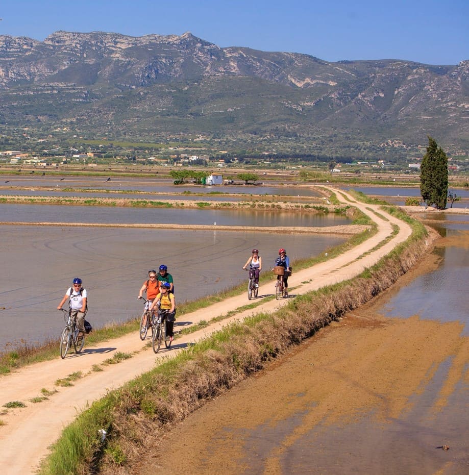
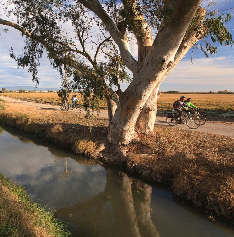
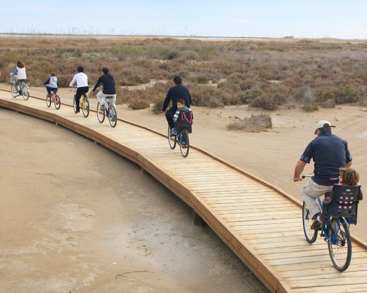
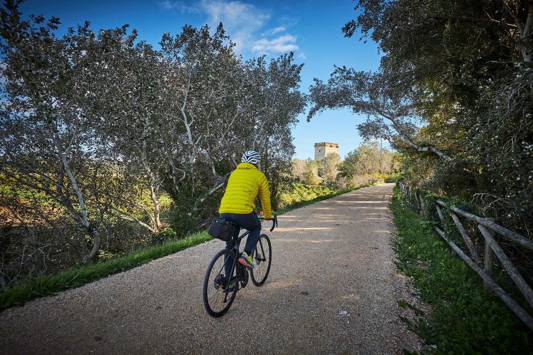
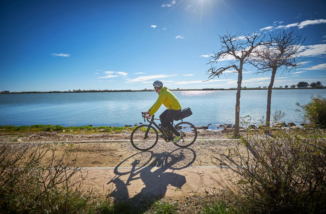
Route that follows the Ebro River from Amposta to the Migjorn River, crossing the central part of the Ebro Delta. Without getting lost, the route follows the right bank of the river along the Sirga path, recovered by a comprehensive restoration project of the riverside forest, which allows you to enjoy the proximity of the river and the shade for a good part of the route. From the Amposta tourist office, follow the river walk with views of the Hanging Bridge. You reach the remains of an old Sínia (it raised the water to use it for irrigation), and then the small village of Balada, in front of the island of Gràcia. In Sant Jaume d'Enveja, the route passes under the impressive lo Passador bridge, and you can visit the Barraques del Delta Interpretation Center. Following the path, without getting lost, we reach the beginning of the Migjorn River, in front of the Island of Buda.
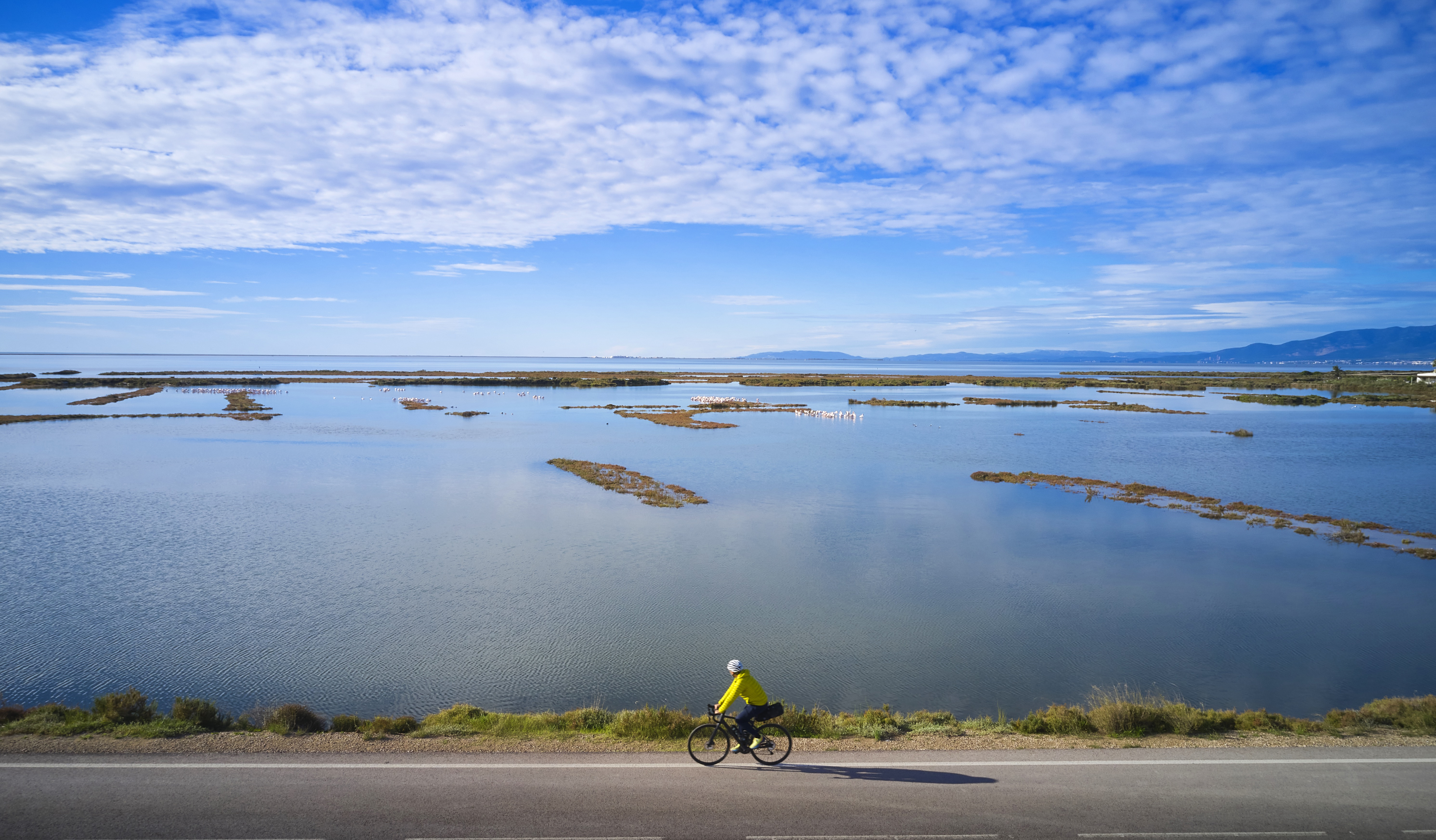
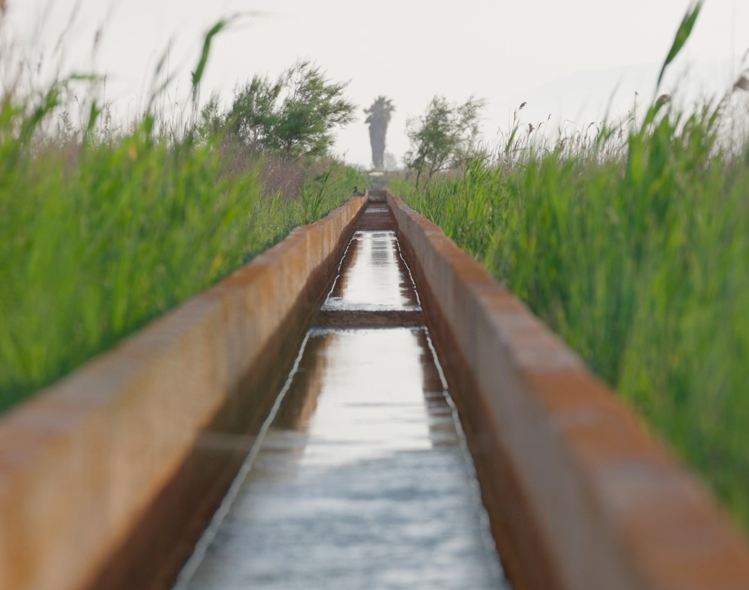
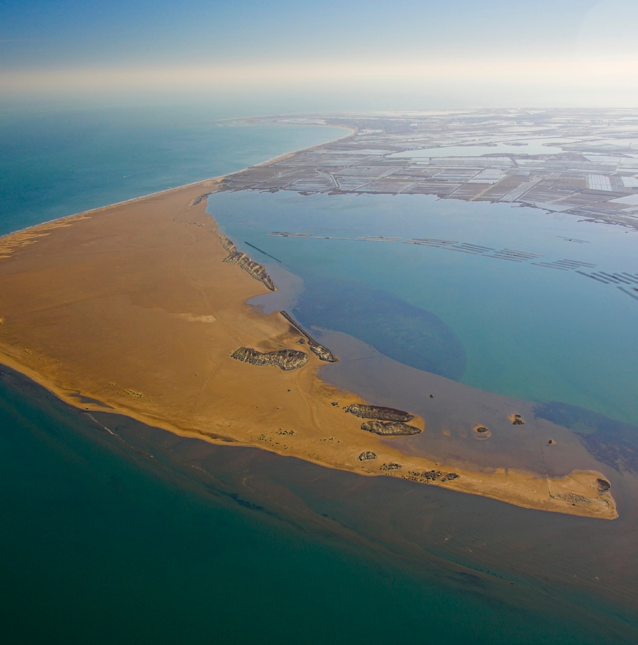
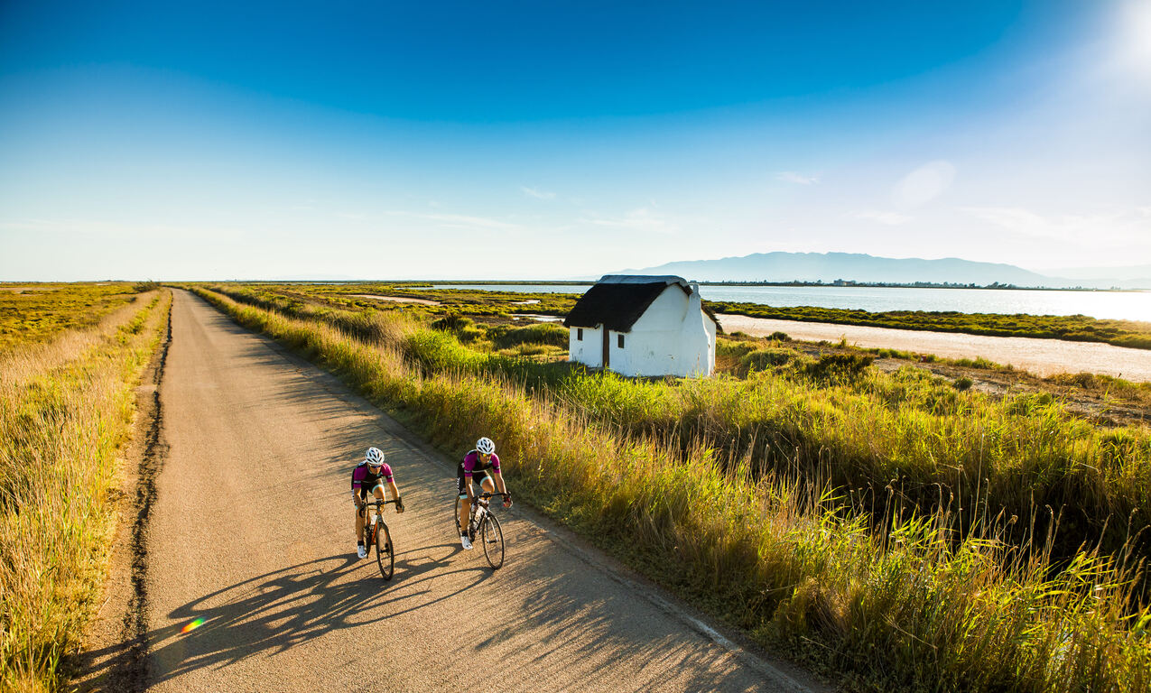
The Ebro Delta is the largest aquatic habitat in Catalonia. The river, the sea, bays, beaches, dunes, salt marshes, riverside forest, ponds and gullies form its natural landscape which, with the rice fields and the vegetable garden, host a rich biodiversity. The uniqueness of the Delta is expressed in its physical and natural reality and also in its particular culture, heritage, history and traditions. The Delta is an inspiring example of how we can maintain a balance between sustainability and development to continue enjoying a fair and acceptable lifestyle.
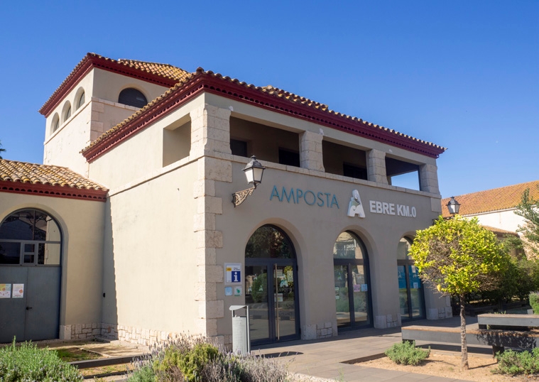
Amposta Tourist Office
Located in the building of the old municipal slaughterhouse, the office offers tourist information about Amposta and the entire Ebro Delta, together with the Espai Ebro Km 0 for the promotion of gastronomy.
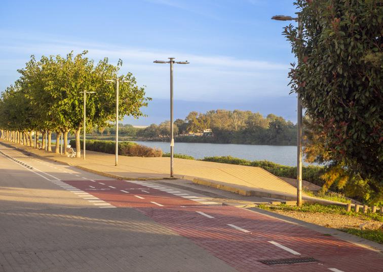
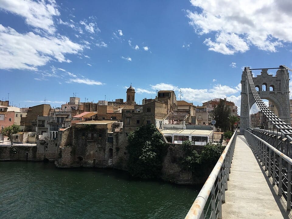
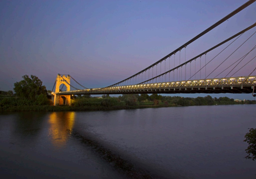
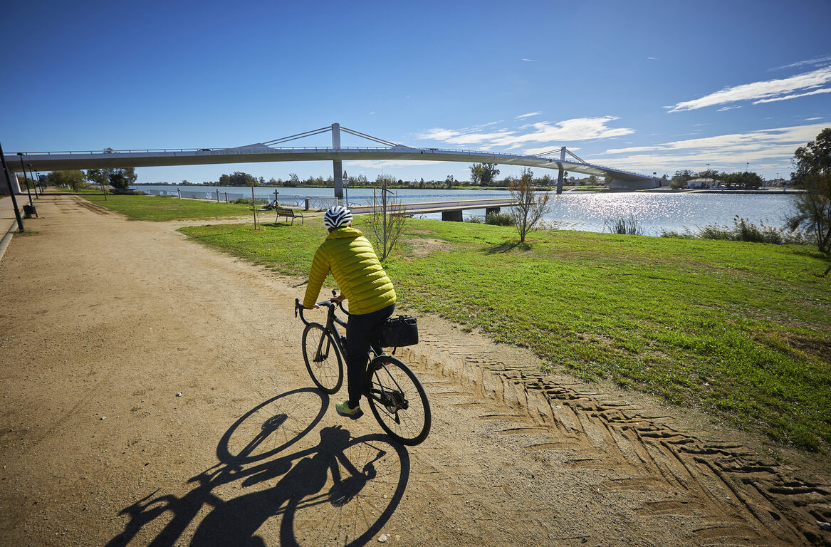
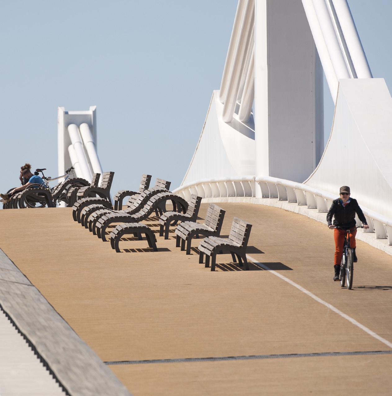
Ebro river promenade
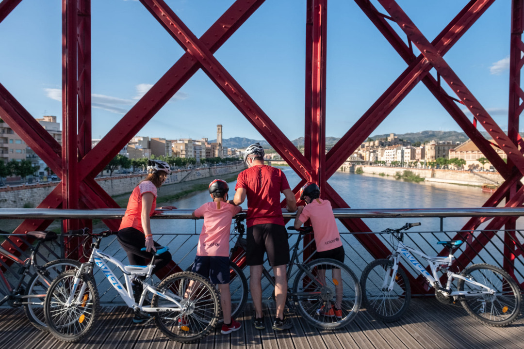
Walk along the right bank of the Ebro with wonderful views of the river and the Hanging Bridge, which began construction in 1915. You also pass under the N-340 bridge.
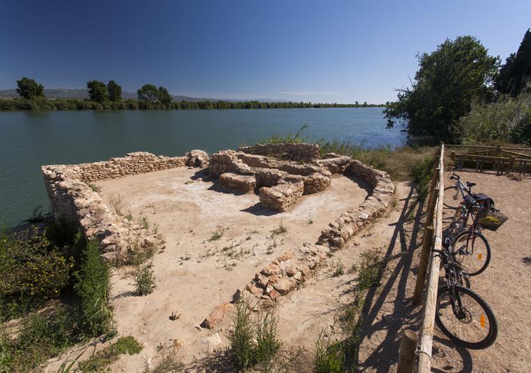
The Sínia
A stone construction with two wheels, it was originally intended to raise the water from the river for agricultural use. Waterwheels were very widespread during the centuries of Muslim occupation.
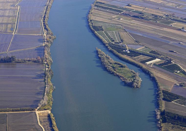
Sapinya Island
This island, formed from river sediments, is now a Partial Nature Reserve. It is home to willows, oaks and other unique species. In winter it becomes an important resting place for herons.
Island of Gracia
Privately owned, much of its surface is dedicated to agricultural exploitation. From Balada we can enjoy good views of its riverside forest.
Ballad
A small village that is the boundary between the municipalities of Amposta and Sant Jaume d'Enveja, located in front of the island of Gràcia. You can visit the Baladre de Balada, listed as a monumental tree.
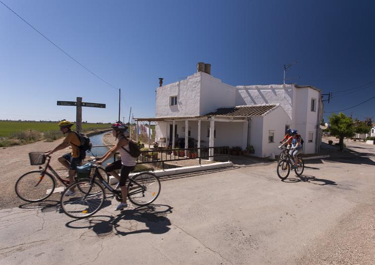
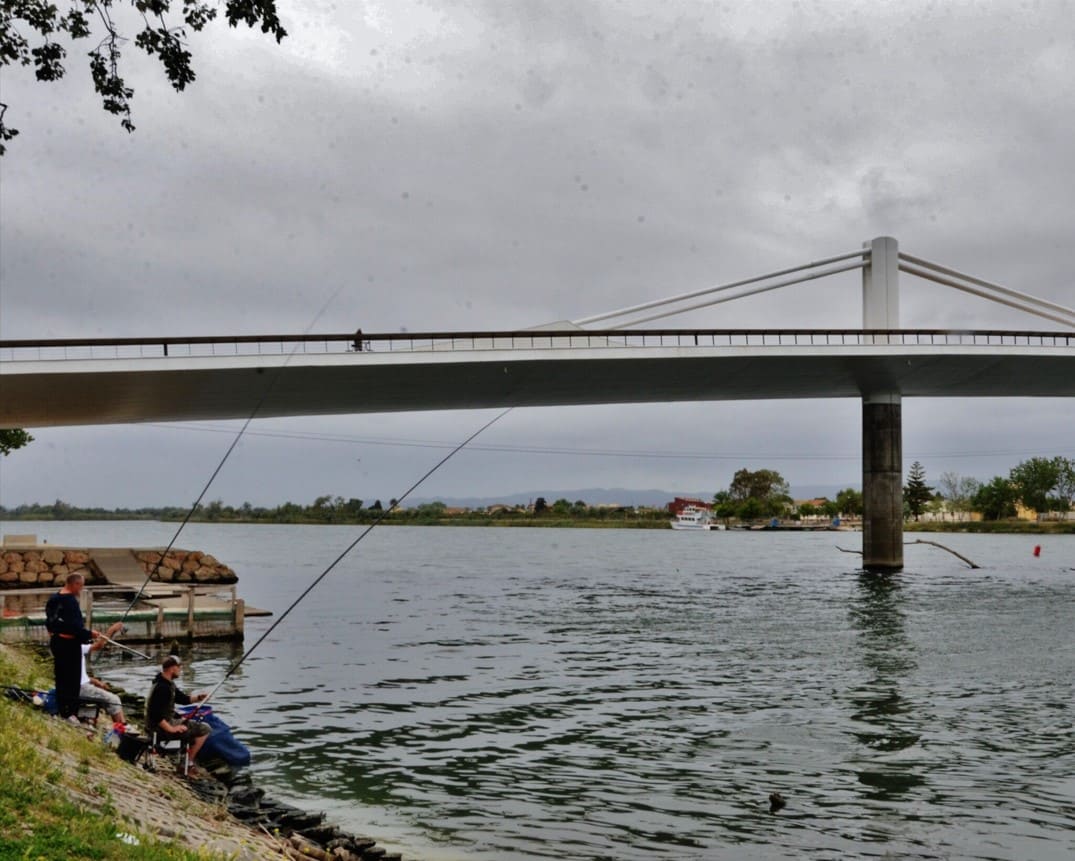
Saint James of Envy
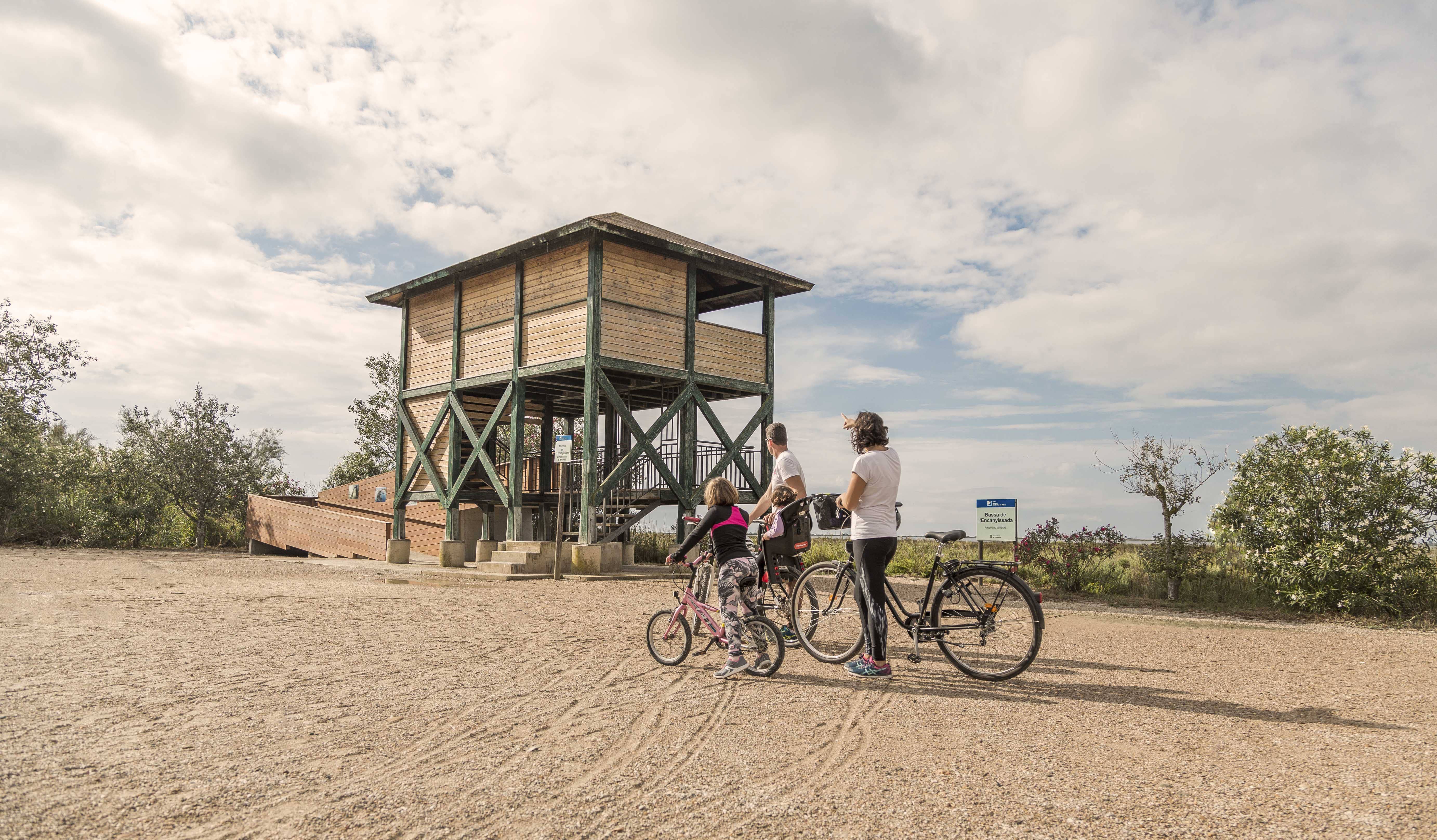
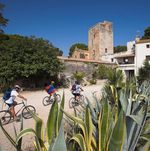
Town on the right side of the Ebro Delta, you can visit the Interpretation Center of the Barraques del Delta, to better understand the historical settlement of this territory
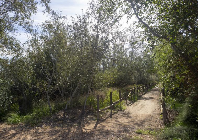
Commander's Grove
One of the few riverside forest formations with a certain entity and density. Shortly afterwards, on the right, you can see Mas de la Comandanta (now Mas Illa de Riu).
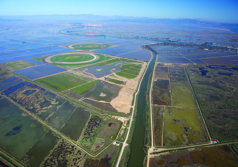
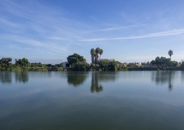
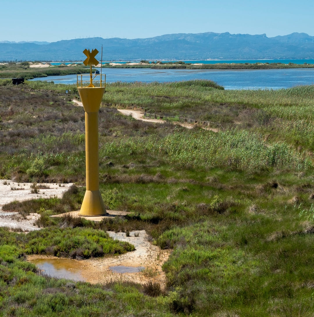
Migjorn River
Point where the Migjorn River originates, one of the ancient mouths of the Ebro and which now, together with the current mouth of the river, borders the island of Buda in front of it.
Amposta is a Spanish municipality and town in the province of Tarragona, in the autonomous community of Catalonia. It is the capital of the Montsià region. Located at an altitude of 8 m above sea level, on the banks of the Ebro River, the municipality has a population of 22,637 (INE 2024). Its economic activity is mainly agriculture (rice farming) and services. In the final years of the 20th century, a small but important industrial sector emerged based on the food, paper and packaging industries, furniture, and a multitude of small machinery workshops. In addition to the city of Amposta, the municipality includes the town of Poblenou del Delta and part of Balada.
Sant Jaume d’Enveja, situat al cor del Parc Natural del Delta de l’Ebre, és un poble envoltat de camps d’arròs, llacunes i canals que defineixen el paisatge característic del delta. La seva vida tranquil·la i la gastronomia local, basada en l’arròs i els productes del riu, conviden a gaudir del territori amb calma. Els camins plans que travessen els arrossars i connecten amb altres nuclis del delta fan de Sant Jaume d’Enveja un lloc ideal per a rutes ciclistes senzilles, cosa que permet descobrir la natura, la fauna i la serenitat d’aquest entorn únic.
THE ZAFÁN GREENWAY GAME
Explore, learn, and have fun with Antoni and Clara as you travel the routes of the Zafán Valley. Each stop is a new adventure, every challenge a story waiting for you!
Comença a jugar!Along your route, you'll find challenges and activities to earn points, solve clues, or win virtual prizes.
Join our games and become an expert on the Zafán Greenway.
Available games (2)
Observe birds
Find the bird-watching spot along the route, scan the QR code, and answer three questions to earn your badge.
More informationPhotograph shells
Upload a photo to Instagram of the shells you find on the beach using the hashtag #conchasdelFalgar
More information
Weather forecast
Today, Sunday, Amposta

Clear
19 km/h
27ºC max
25ºC min
No rain forecast
Next days forecast

Monday
29º max
23º min
Tuesday
29º max
24º min
Wednesday
29º max
24º min
Thursday
30º max
23º min
Other routes you may like...
La Ràpita - Amposta - L'Aldea - Camarles - L'Ampolla (Porta del Delta)