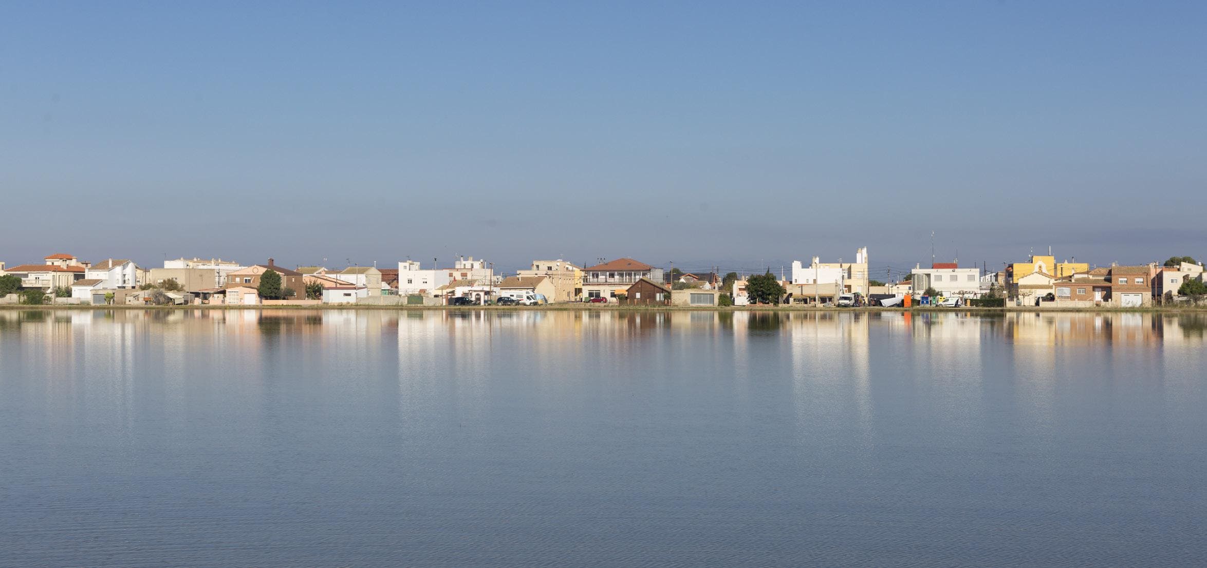
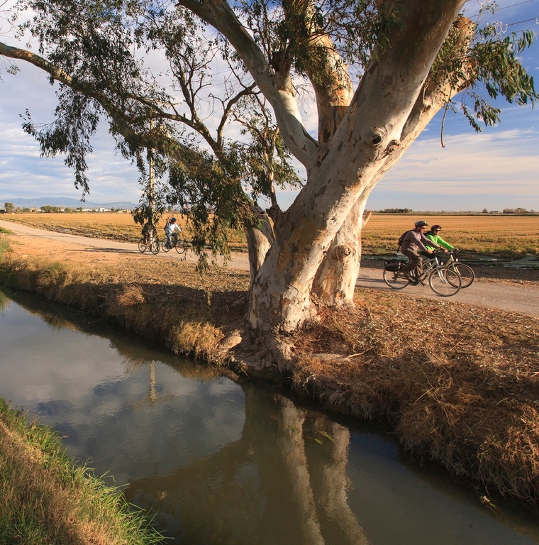
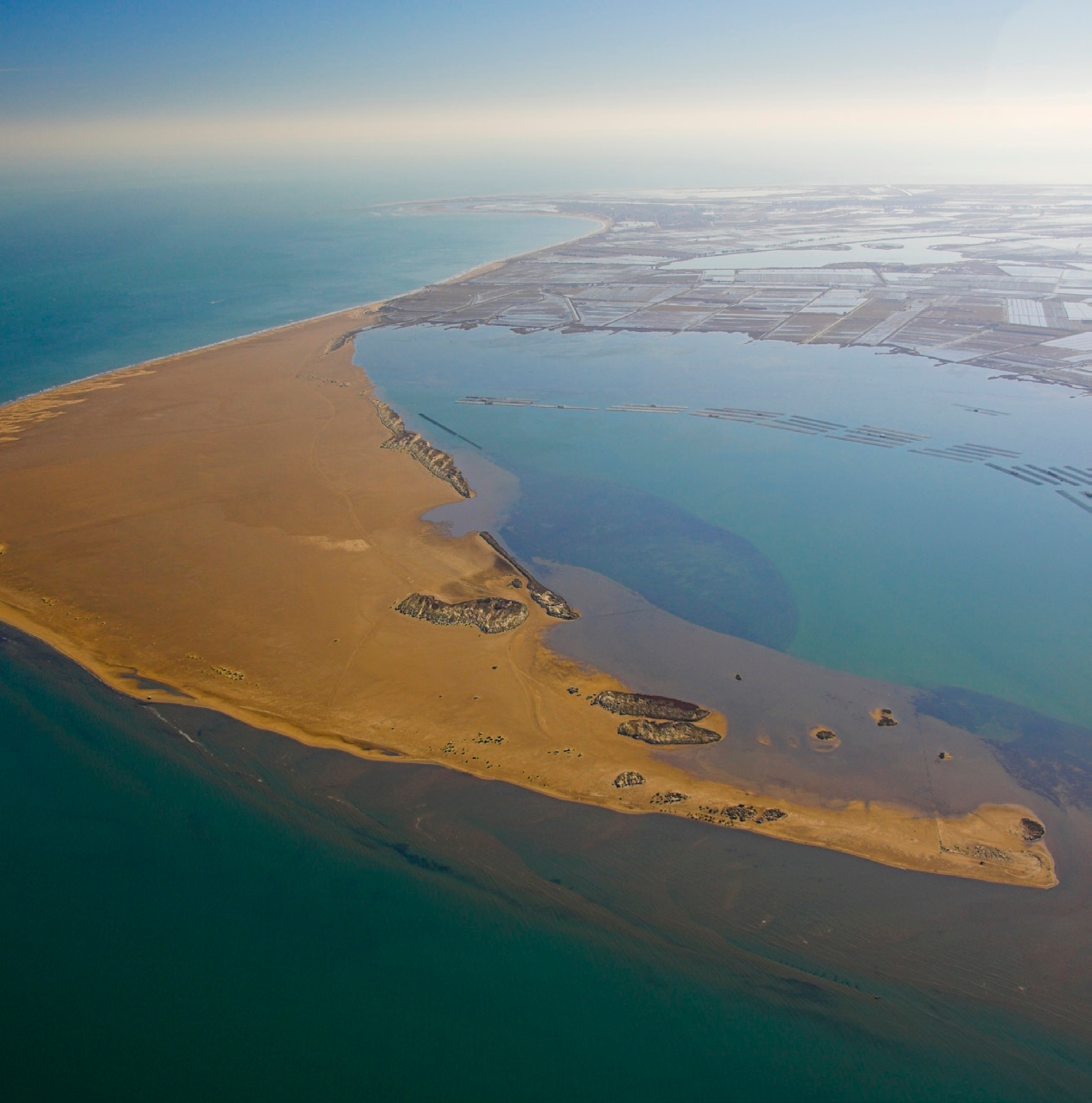
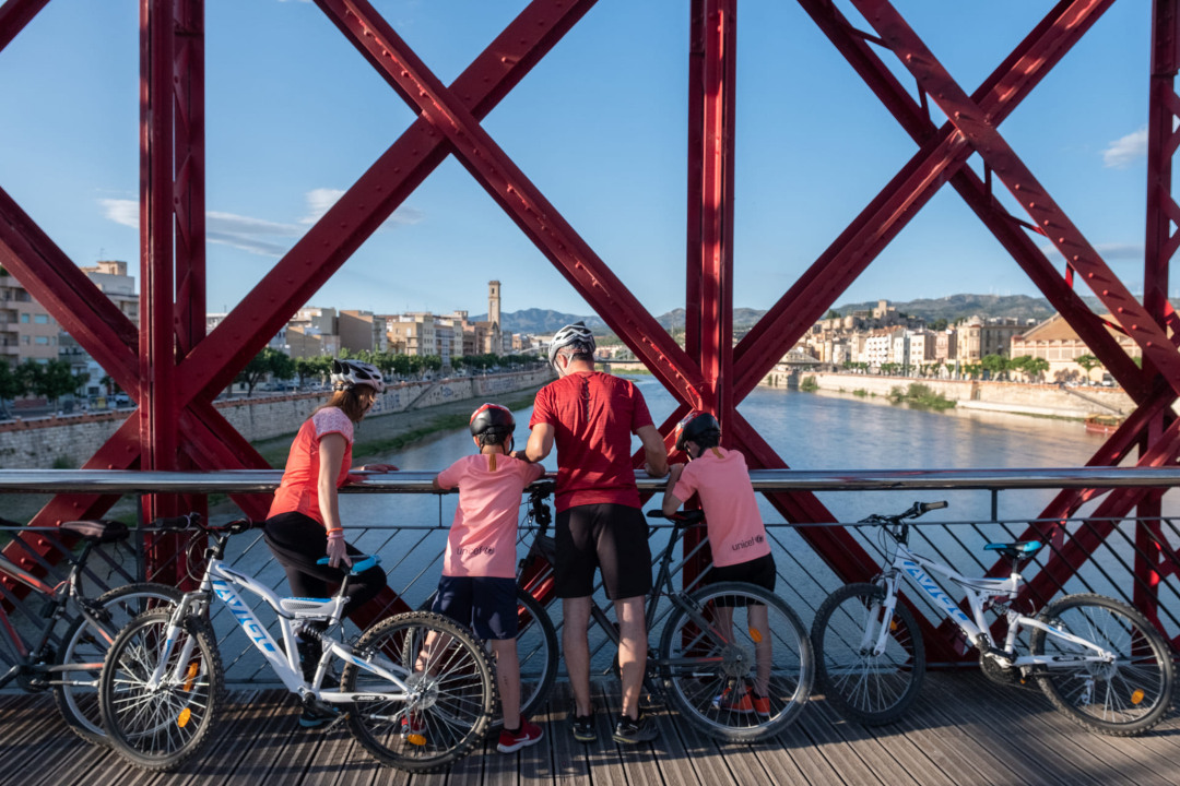
Sant Jaume d'Enveja - Els Muntells - Eucalyptus
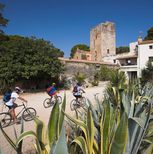
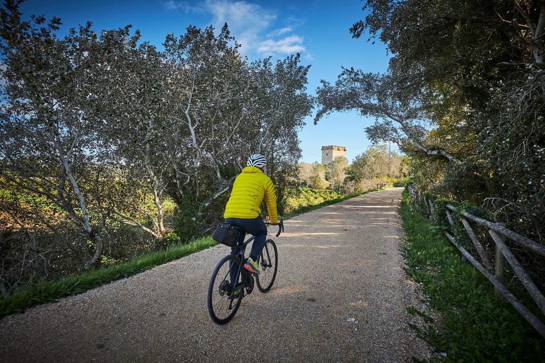
Cycling route through the Ebro Delta Natural Park
Route characteristics
- 19,3 km
- 1 m
- 8 m
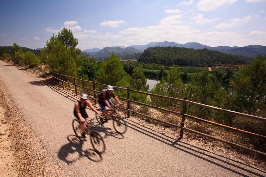
With traffic Motorized vehicles are frequent.
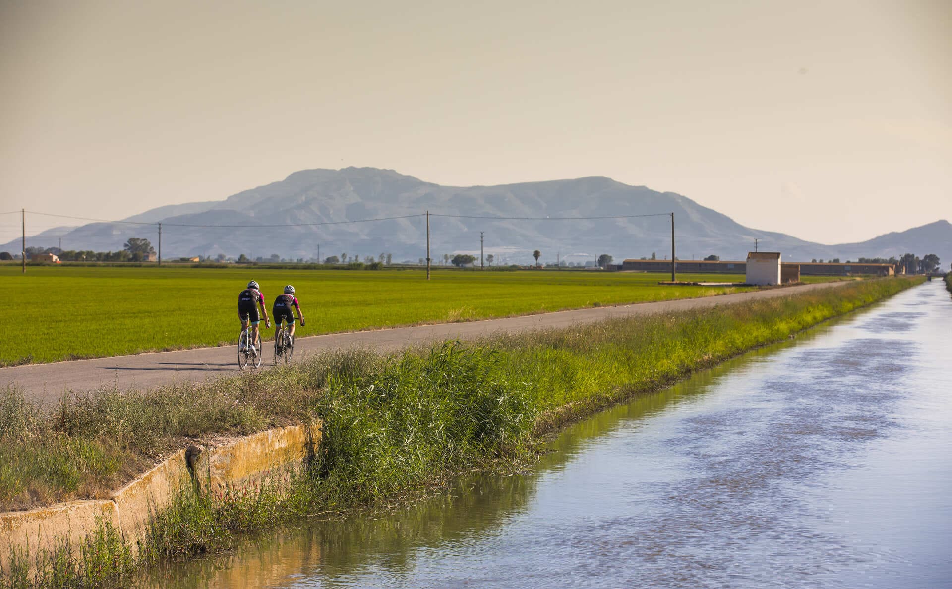
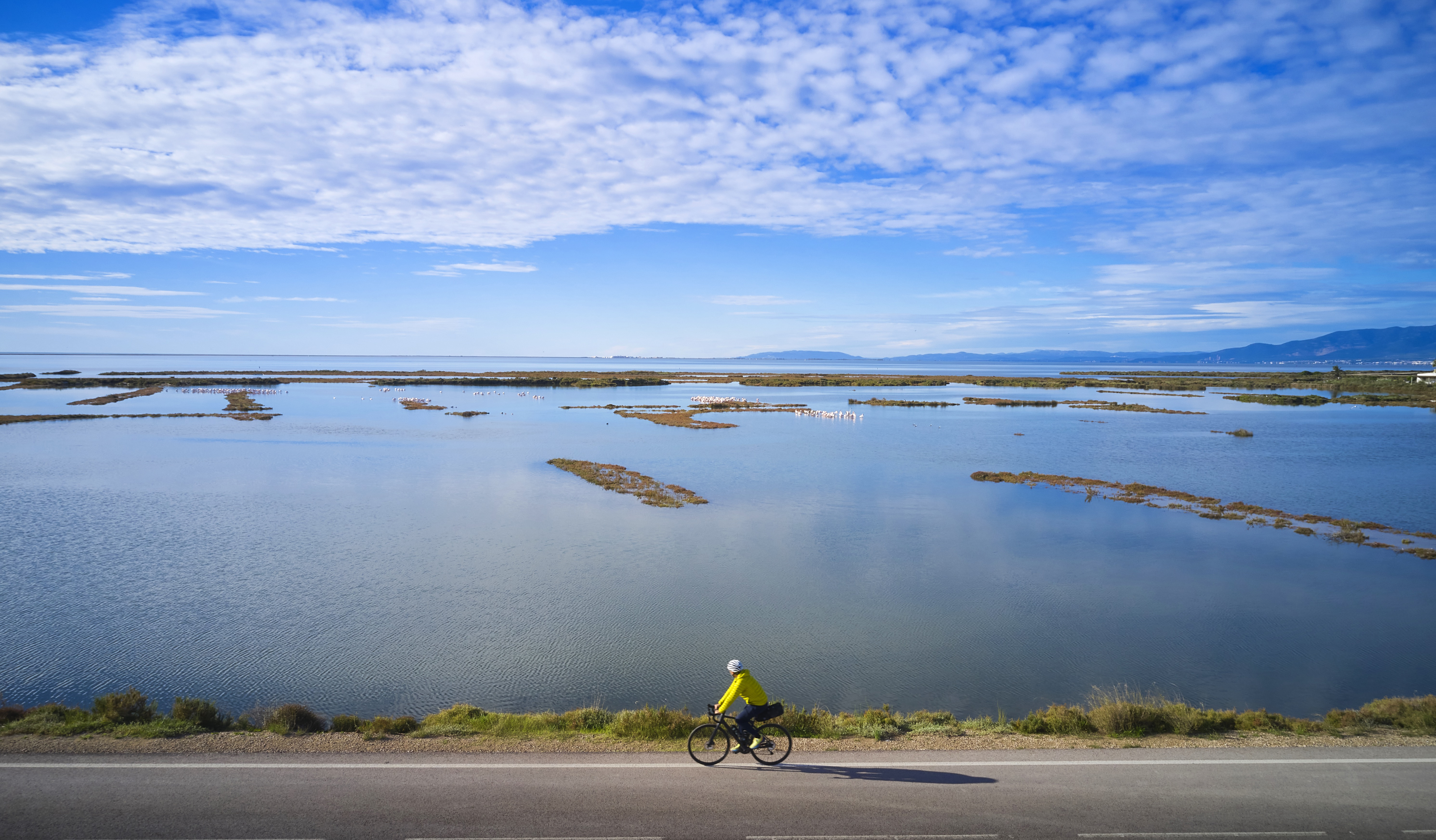
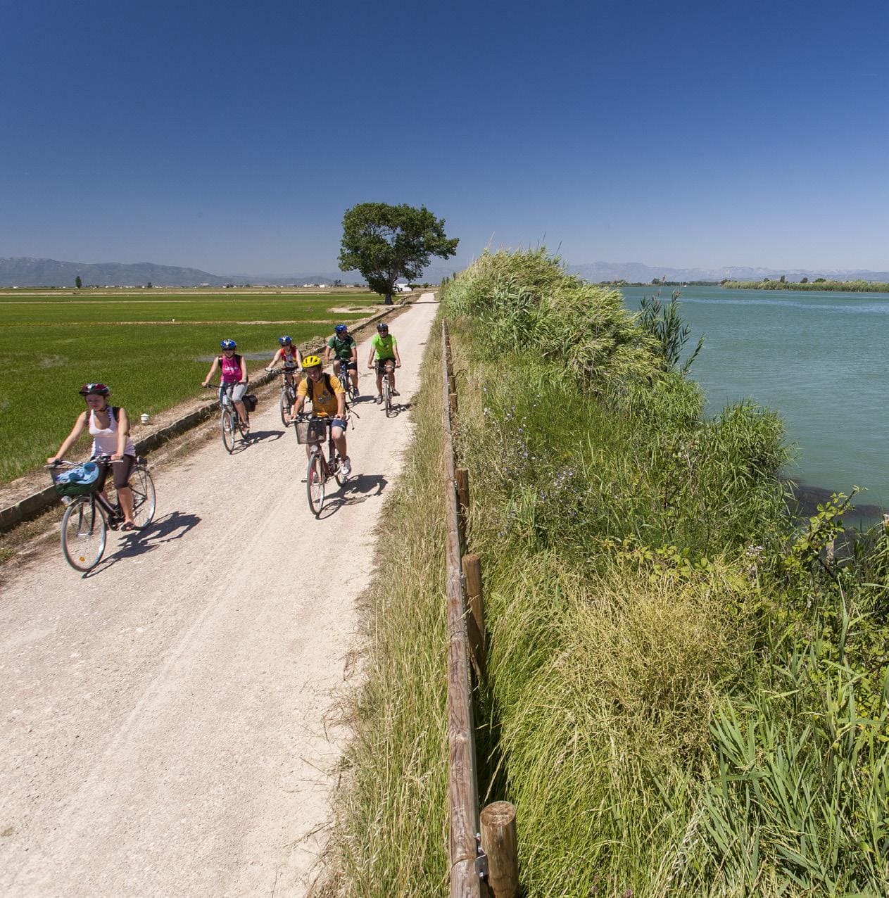
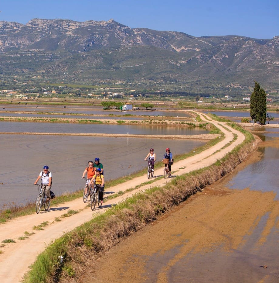
Circular route that goes into the agricultural landscapes of the right bank of the Ebro. In Sant Jaume d'Enveja, you can visit the Interpretation Centre of the Barraques del Delta to better understand colonization and life in the Delta. Cross the canal of the right bank of the Ebro at the Barceloní bridge to turn right and go to the town of Muntells along a wide asphalt road. The route heads towards Eucaliptus, a tourist center, to follow, to the west, the Platjola pond, and you have to go and find the Sirga path that, upstream along the right bank of the Ebro, returns to Sant Jaume d'Enveja. In this section, you leave the Mas de la Comandanta on the left to immediately enter the riverside forest of the same name, one of the best preserved forests that the Sirga path cycle path crosses.
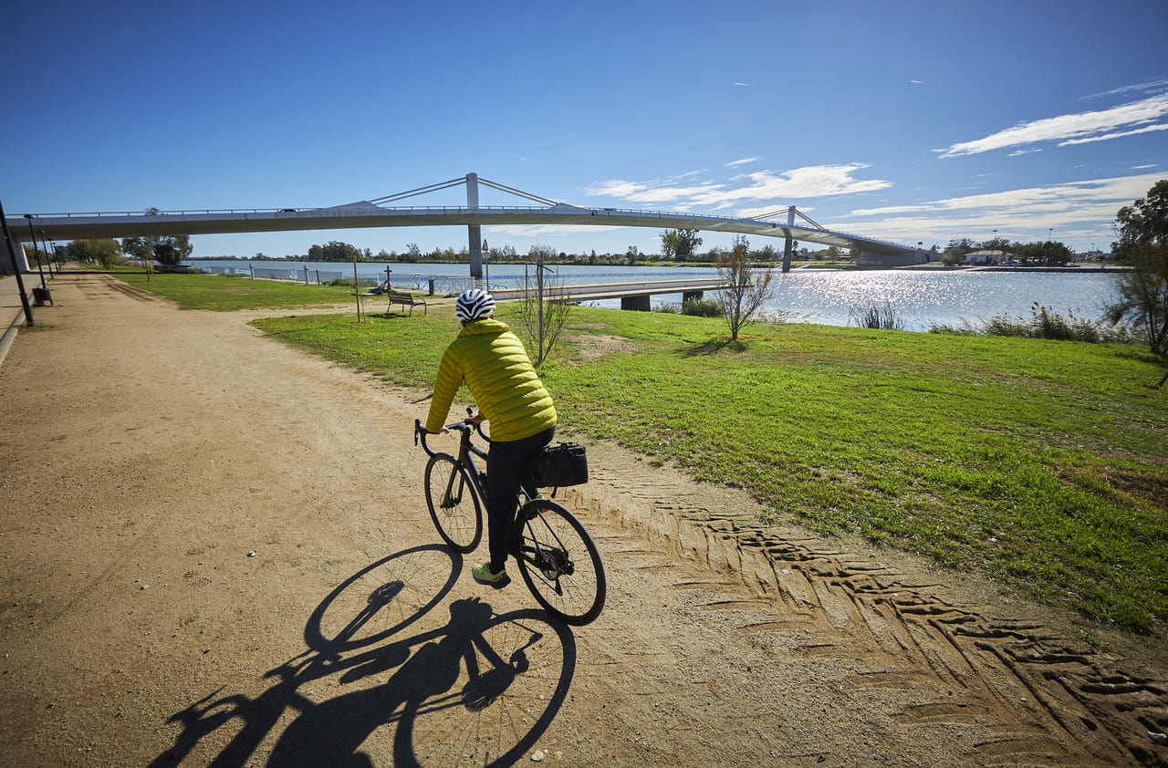
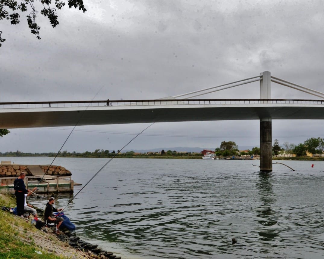
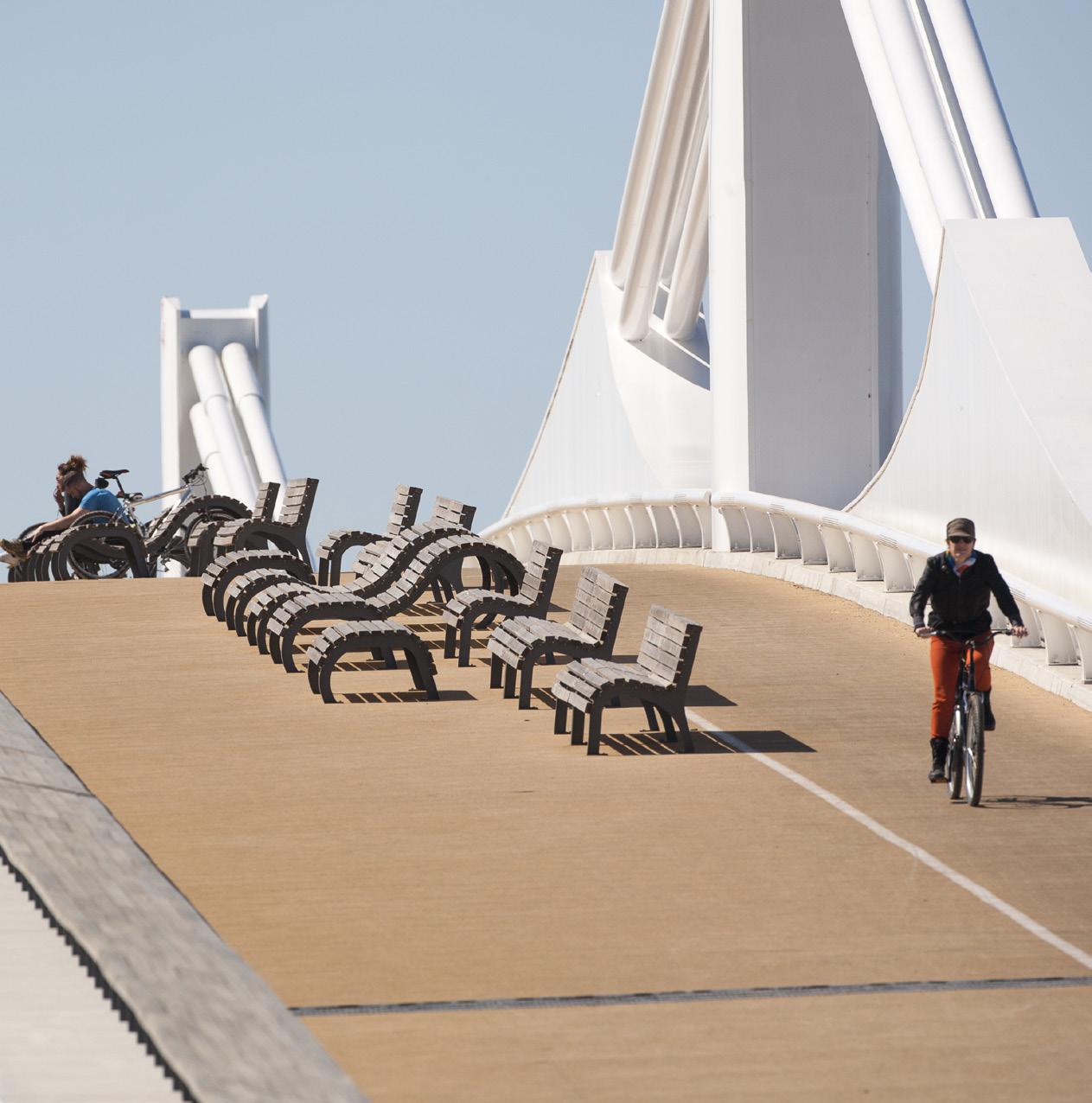
Bridge The Passador
250 meters long and 15 meters high, its design allocates half of the surface area to cyclists and pedestrians. There is also an exhibition on the history of ferries.
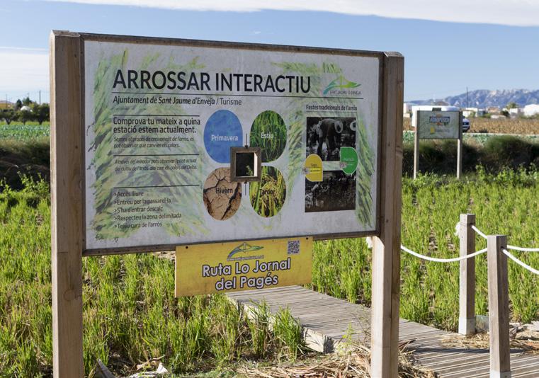
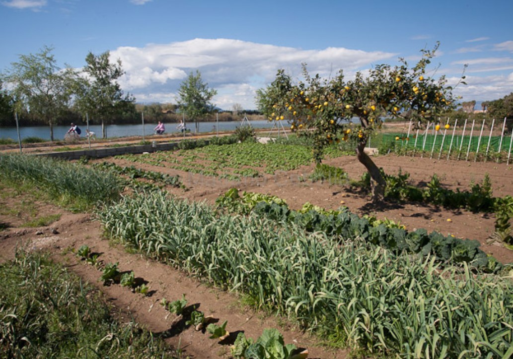
Interactive rice field
Small rice field with free access, which allows you to interact with the plantation and learn, through panels, about the changes in this crop throughout the year.
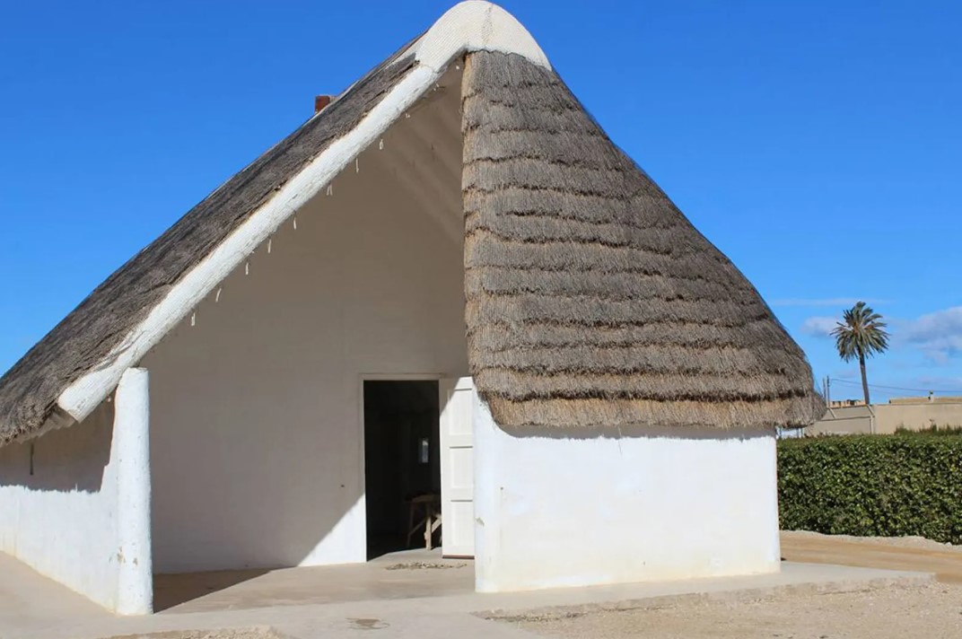
Delta Shacks Interpretation Center
Exhibition about the life, work and housing of the first settlers of the Delta through these simple constructions that were integrated into the agricultural landscape.
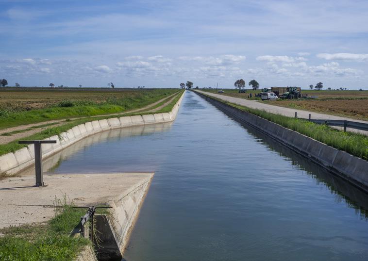
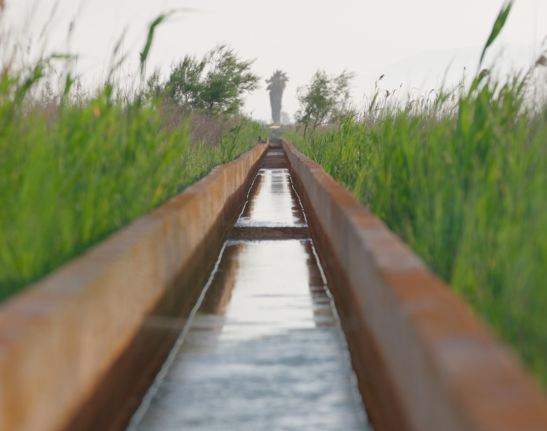
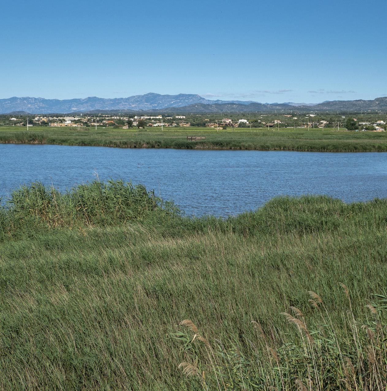
Ebro Right Canal
Irrigation canal inaugurated in 1857; it originates at the Xerta dam and runs 55 km to the Migjorn River, in front of the island of Buda, and carries irrigation water to the entire southern area of the Delta.
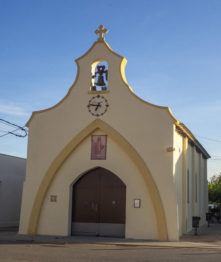
The Hills
Nucleus formed along the current Main Street, from the origins of the agricultural colonization of the Delta during the 20th century. Here we find the parish church of Sant Llorenç.
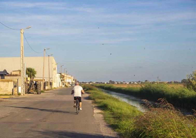
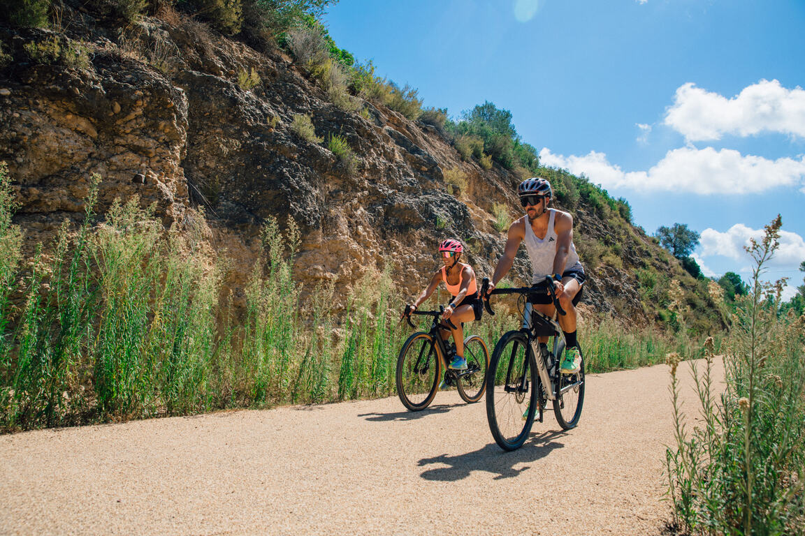
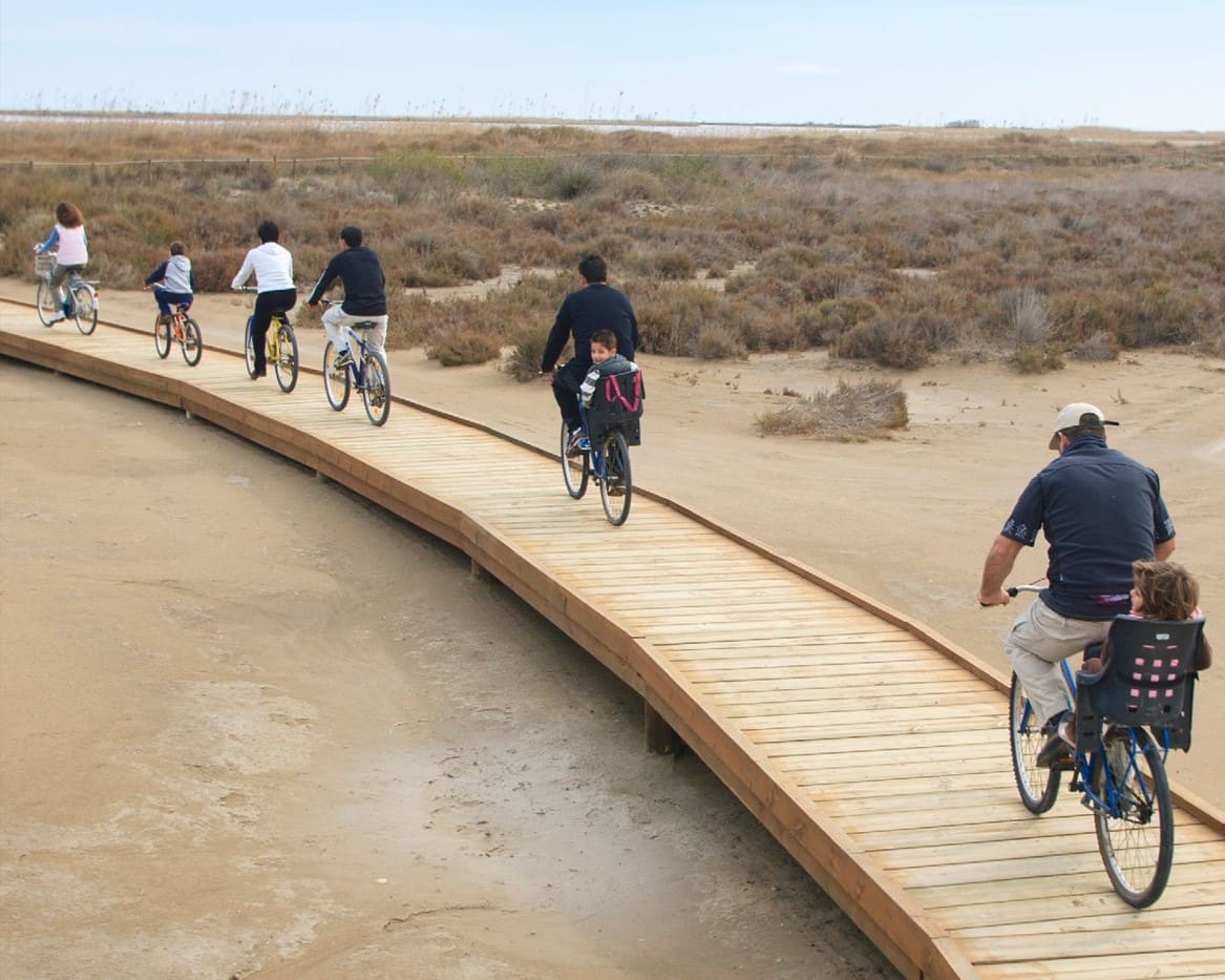
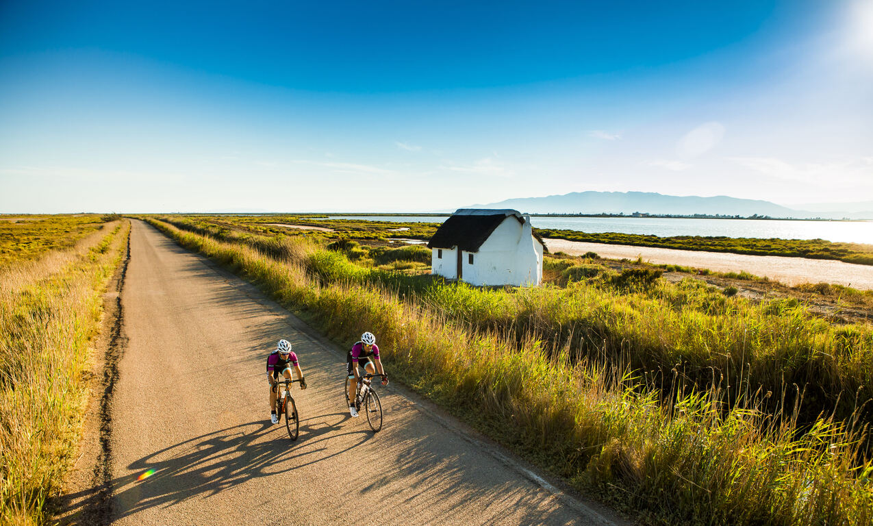
Sirga Road
Path along the banks of the Ebro River that recovers the old route along which, with the help of a towline (rope), the llaguts (boats) that transported rice up the Delta were pulled upstream.
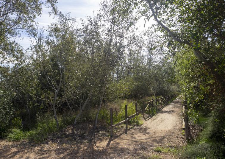
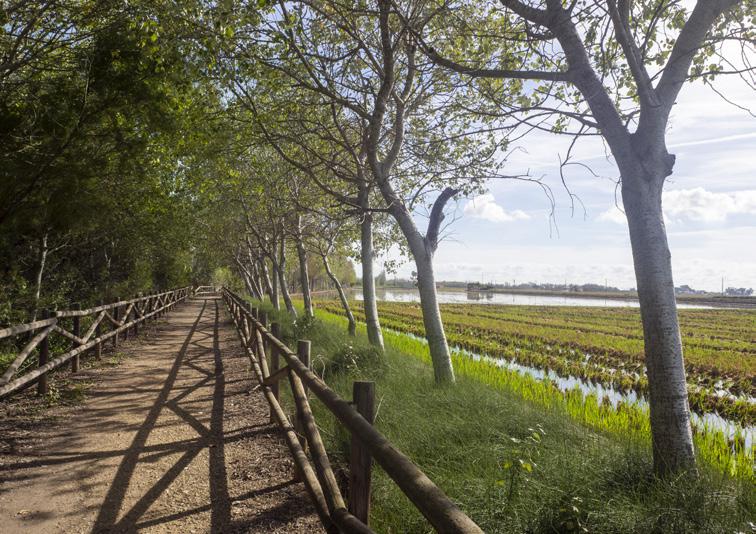
Commander's Grove
One of the few riverside forest formations with a certain entity and density. Shortly afterwards, on the right, you can see Mas de la Comandanta (now Mas Illa de Riu).
Tips
- You are entering a natural area shared with an agricultural community; find out about the area’s values at the Park’s information centers: the Ecomuseum (tel. 977 489 679) and the Casa de Fusta (tel. 667 001 382).
- It is necessary to wear a helmet and bring enough food and water. Carry a mobile phone and conserve battery; in case of emergency, call 112. Depending on the season, it is advisable to bring sunscreen and insect repellent.
- The terrain is completely flat, but be aware of the usual winds in the area.
- Check the weather forecast before heading out at meteo.cat
- It is advisable to carry equipment for puncture repairs.
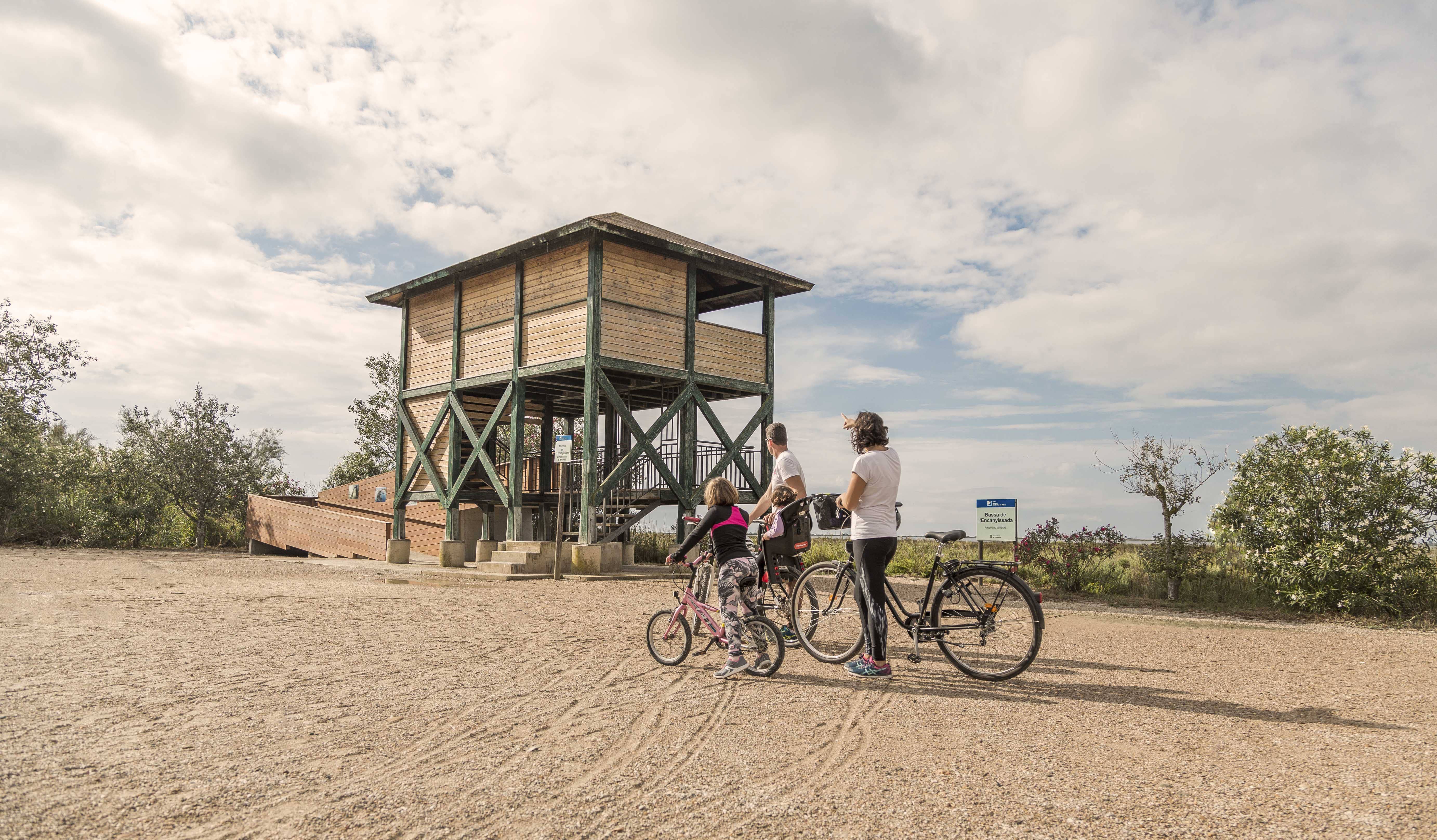
- Use the viewpoints—they will show you the delta landscape. Bring binoculars to observe the birds.
Sant Jaume d’Enveja, situat al cor del Parc Natural del Delta de l’Ebre, és un poble envoltat de camps d’arròs, llacunes i canals que defineixen el paisatge característic del delta. La seva vida tranquil·la i la gastronomia local, basada en l’arròs i els productes del riu, conviden a gaudir del territori amb calma. Els camins plans que travessen els arrossars i connecten amb altres nuclis del delta fan de Sant Jaume d’Enveja un lloc ideal per a rutes ciclistes senzilles, cosa que permet descobrir la natura, la fauna i la serenitat d’aquest entorn únic.
- As this is a linear route with various options for parking vehicles along the way, you can adjust the itinerary according to your needs and abilities.
- Respect the signage and restricted access areas.
- Lighting fires is strictly prohibited.
- Respect the flora, fauna, and environment. Collecting animal or plant species, whether alive or dead, is not allowed.
- Camping is only permitted in established campsites.
- In protected areas, dogs must be kept on a leash.
The take-off and landing of drones is prohibited. - Littering is prohibited, except in designated areas.
THE ZAFÁN GREENWAY GAME
Explore, learn, and have fun with Antoni and Clara as you travel the routes of the Zafán Valley. Each stop is a new adventure, every challenge a story waiting for you!
Comença a jugar!Along your route, you'll find challenges and activities to earn points, solve clues, or win virtual prizes.
Join our games and become an expert on the Zafán Greenway.
Available games (2)
Observe birds
Find the bird-watching spot along the route, scan the QR code, and answer three questions to earn your badge.
More informationPhotograph shells
Upload a photo to Instagram of the shells you find on the beach using the hashtag #conchasdelFalgar
More information
Weather forecast
Today, Wednesday, Deltebre

Clear
18 km/h
0ºC max
100ºC min
No rain forecast
Next days forecast

Wednesday
30º max
24º min
Thursday
30º max
25º min
Friday
28º max
26º min
Saturday
28º max
27º min
Other routes you may like...

La Ràpita - Amposta - L'Aldea - Camarles - L'Ampolla (Porta del Delta)