20.3 Etapa Xacobeu Amposta Tortosa
Third stage of the Cami de Sant Jaume de l'Ebre
Route characteristics
- 17,8 km
- 60 m
- 24 m
With traffic Motorized vehicles are frequent.
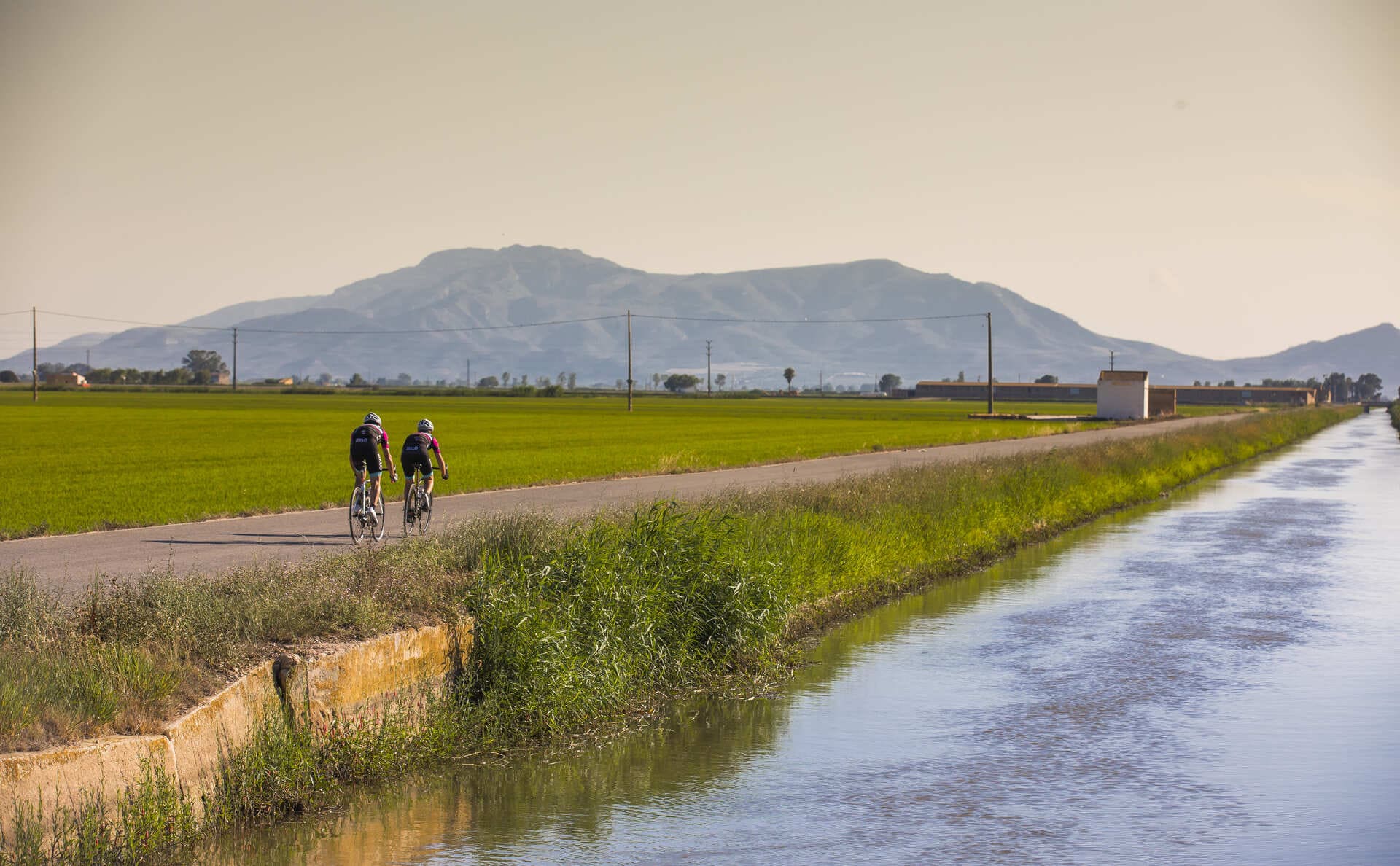
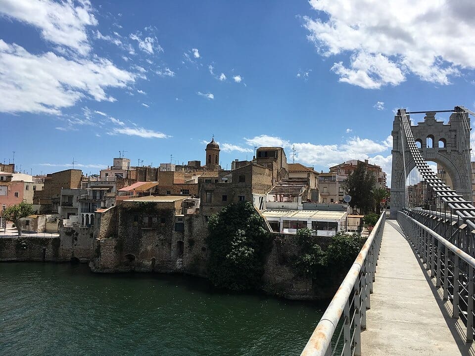
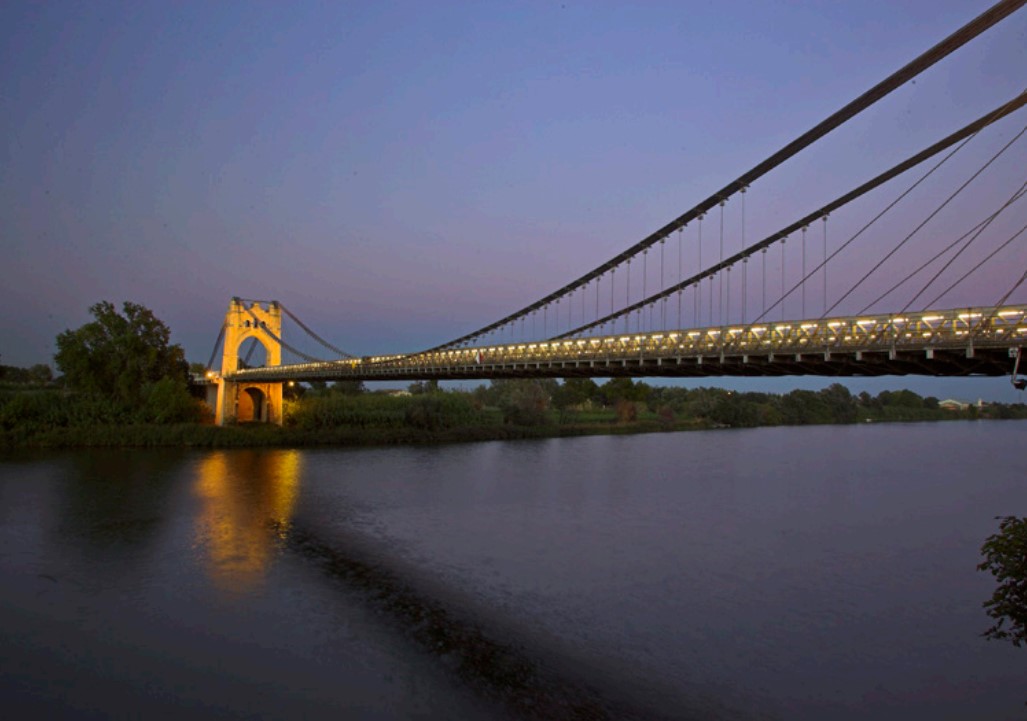
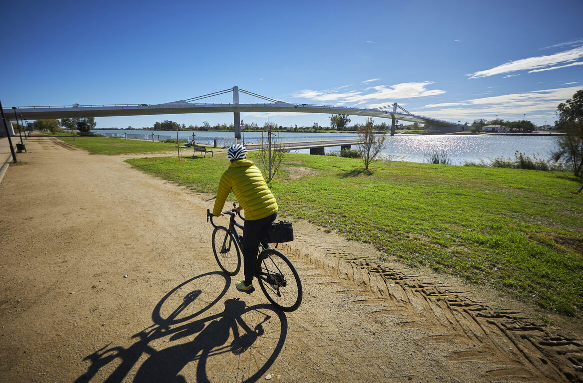
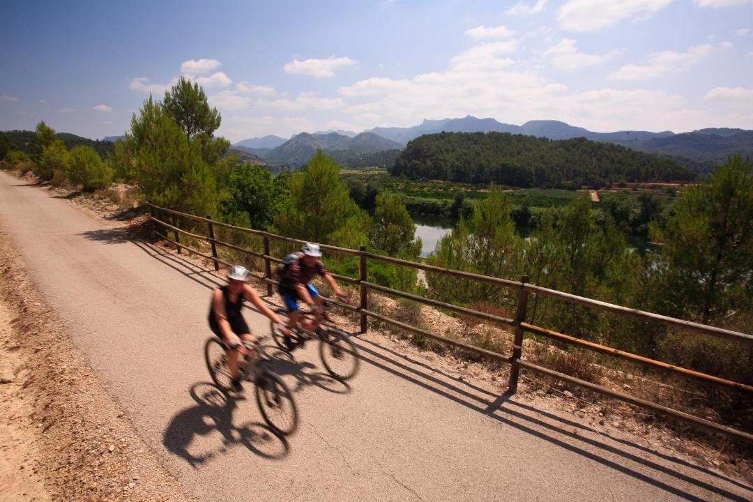
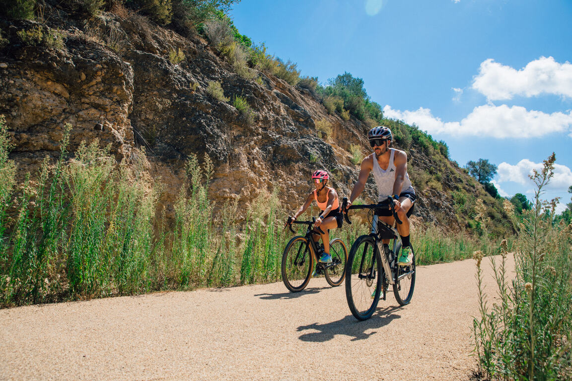
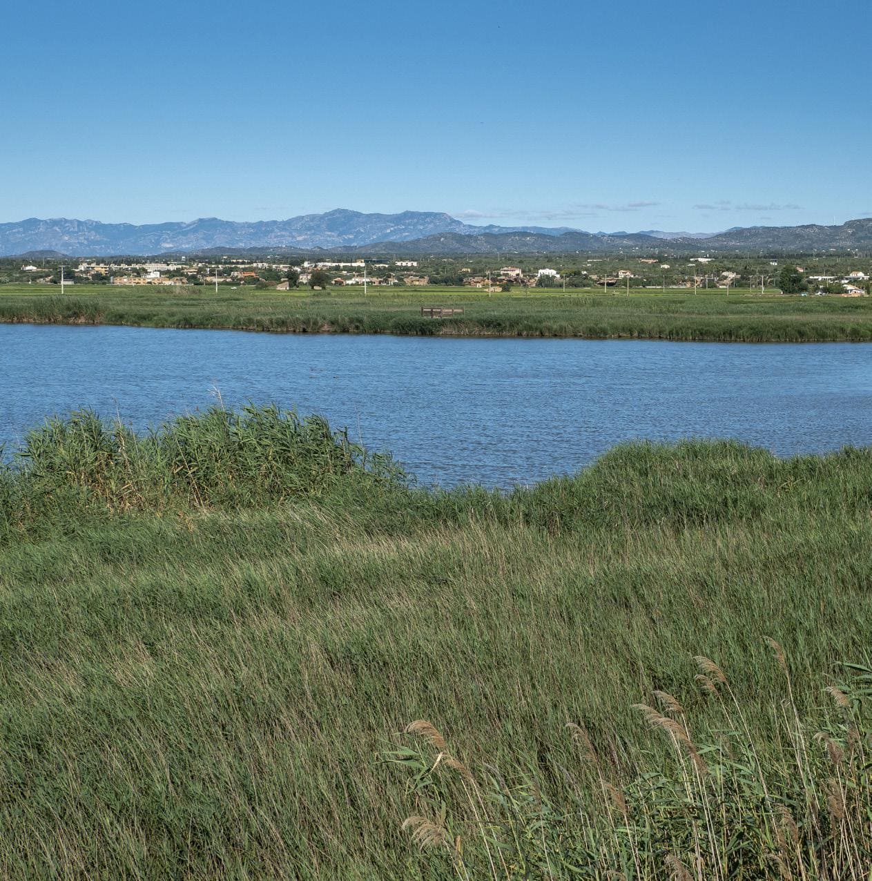
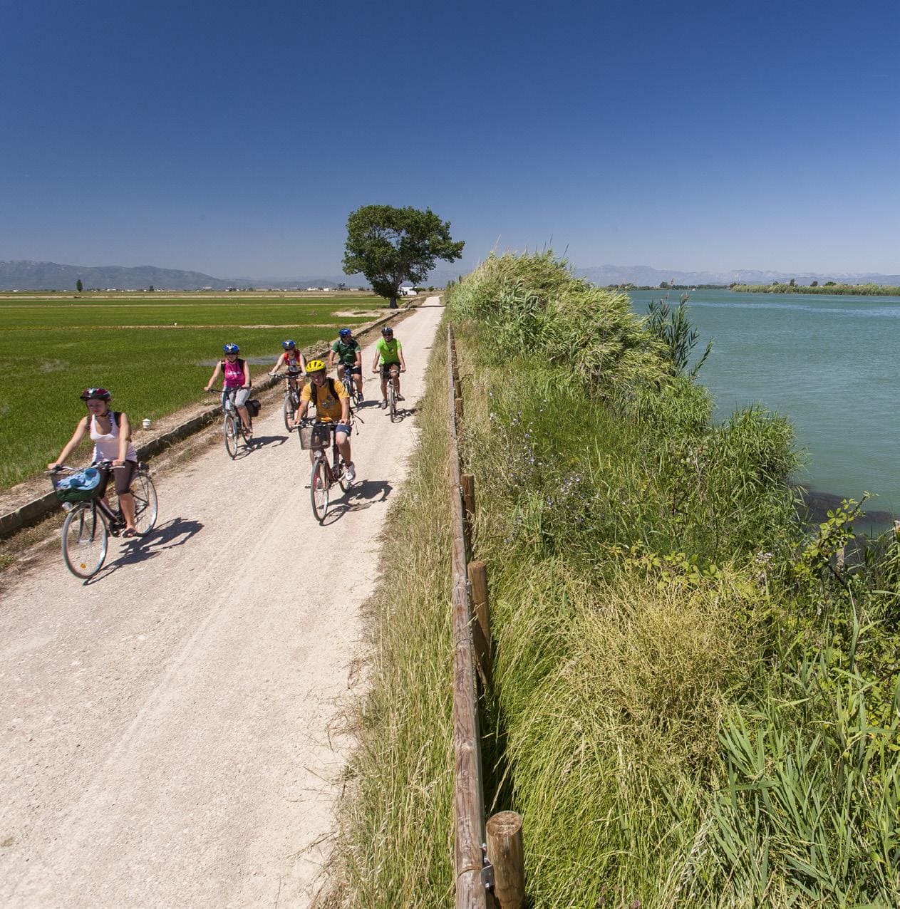
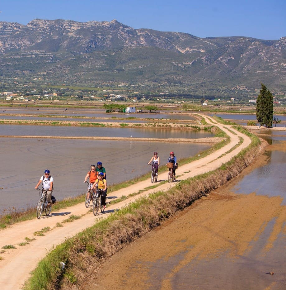
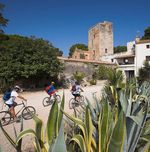
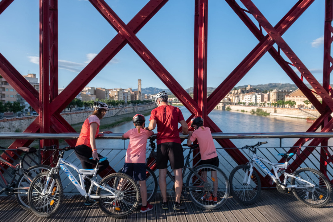
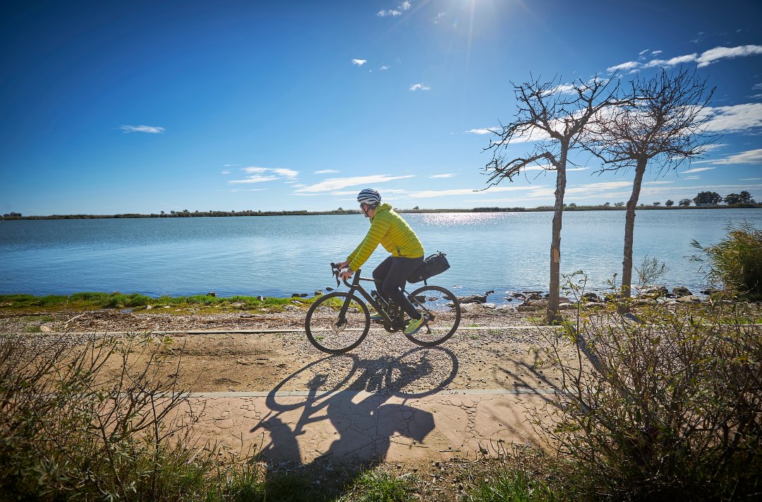
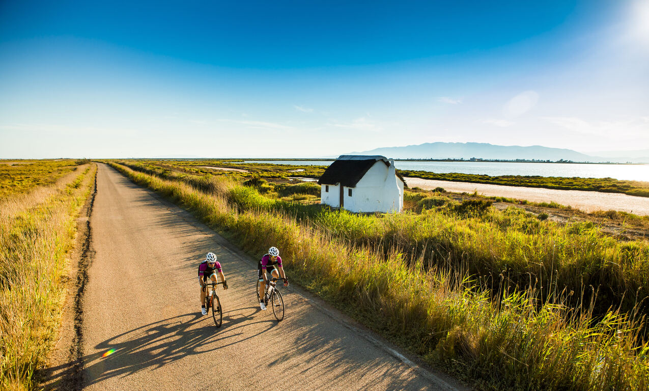
A 17.8 km flat stage between Amposta and Tortosa that follows the course of the Ebro, combining historical heritage and river scenery. The route begins at the Alberg d'Amposta and crosses the city centre to the Pont Penjant, from where you can access the medieval castle grounds, the former seat of the Castellania d'Amposta linked to the Order of the Hospital, where the old Molí de Cercós is also located.
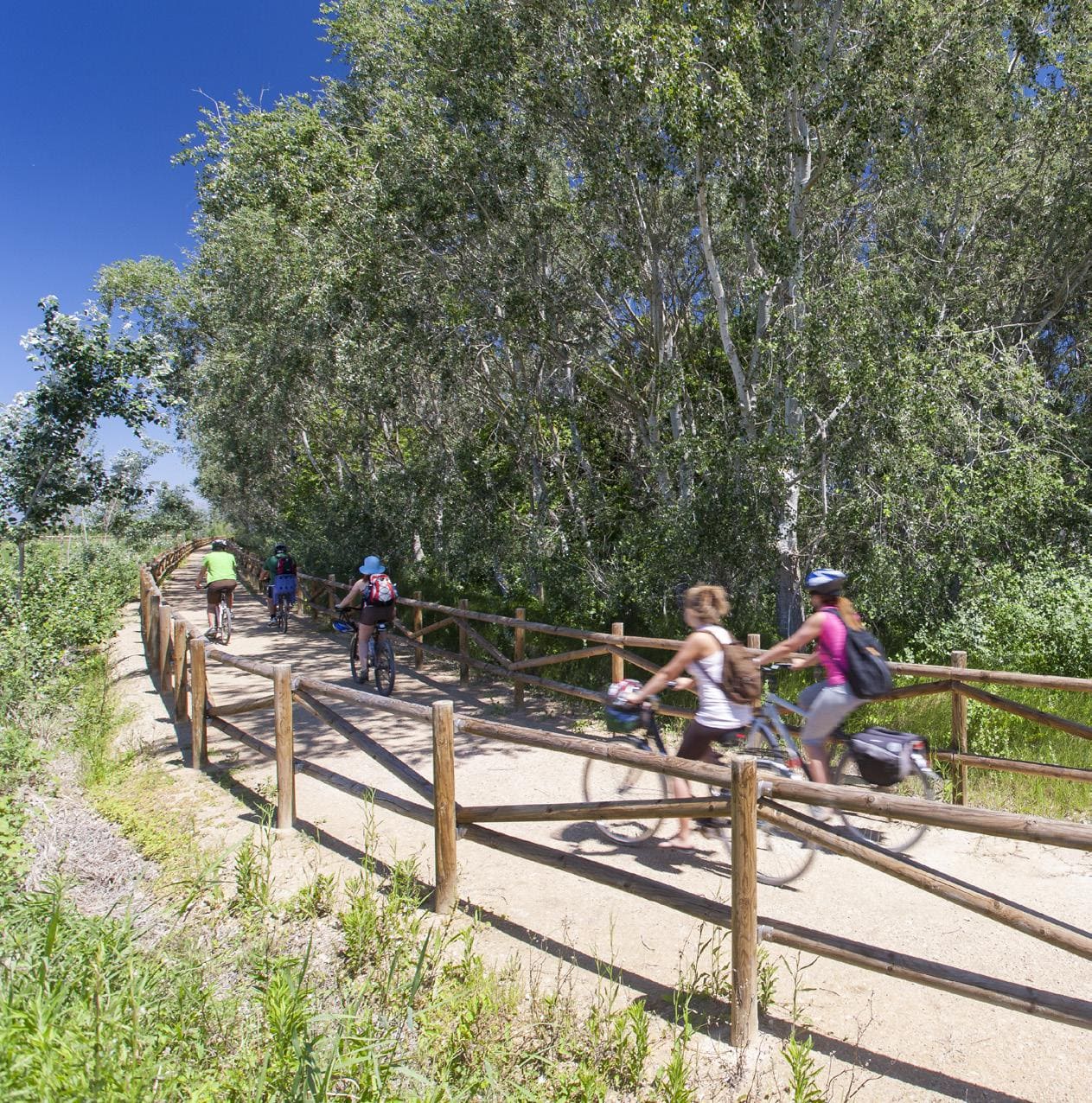
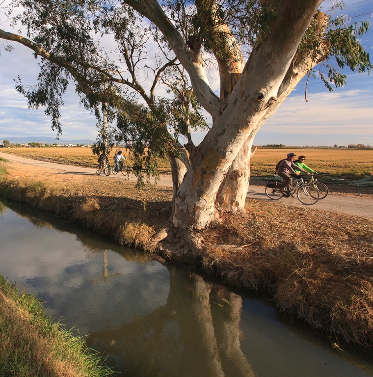
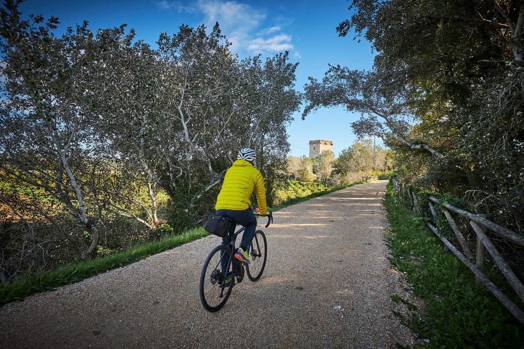
The route continues along service roads parallel to the canal on the right side of the Ebro, with the prominent presence of the Torre de la Carrova, a 14th century defensive fortification that was part of the river surveillance system. The path advances between vegetable gardens and historical infrastructures until it connects with the old railway line, now converted into a greenway.
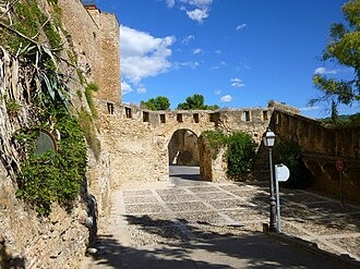
Just outside Tortosa, you cross the Ebro over the Pont Roig and enter the city to the Portal del Romeu, in the heart of the old town. The stage ends in an environment of great heritage richness, with emblematic spaces such as the Cathedral, the Episcopal Palace, the Jewish quarter or the Royal Colleges, which testify to the historical importance of the capital of Baix Ebre.
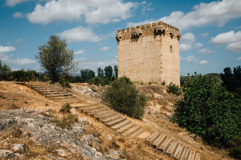
Torre de la Carrova
The Torre de la Carrova is a medieval watchtower from the 14th century located on the banks of the Ebro, restored and a testament to the territory's river defense system.
Tips
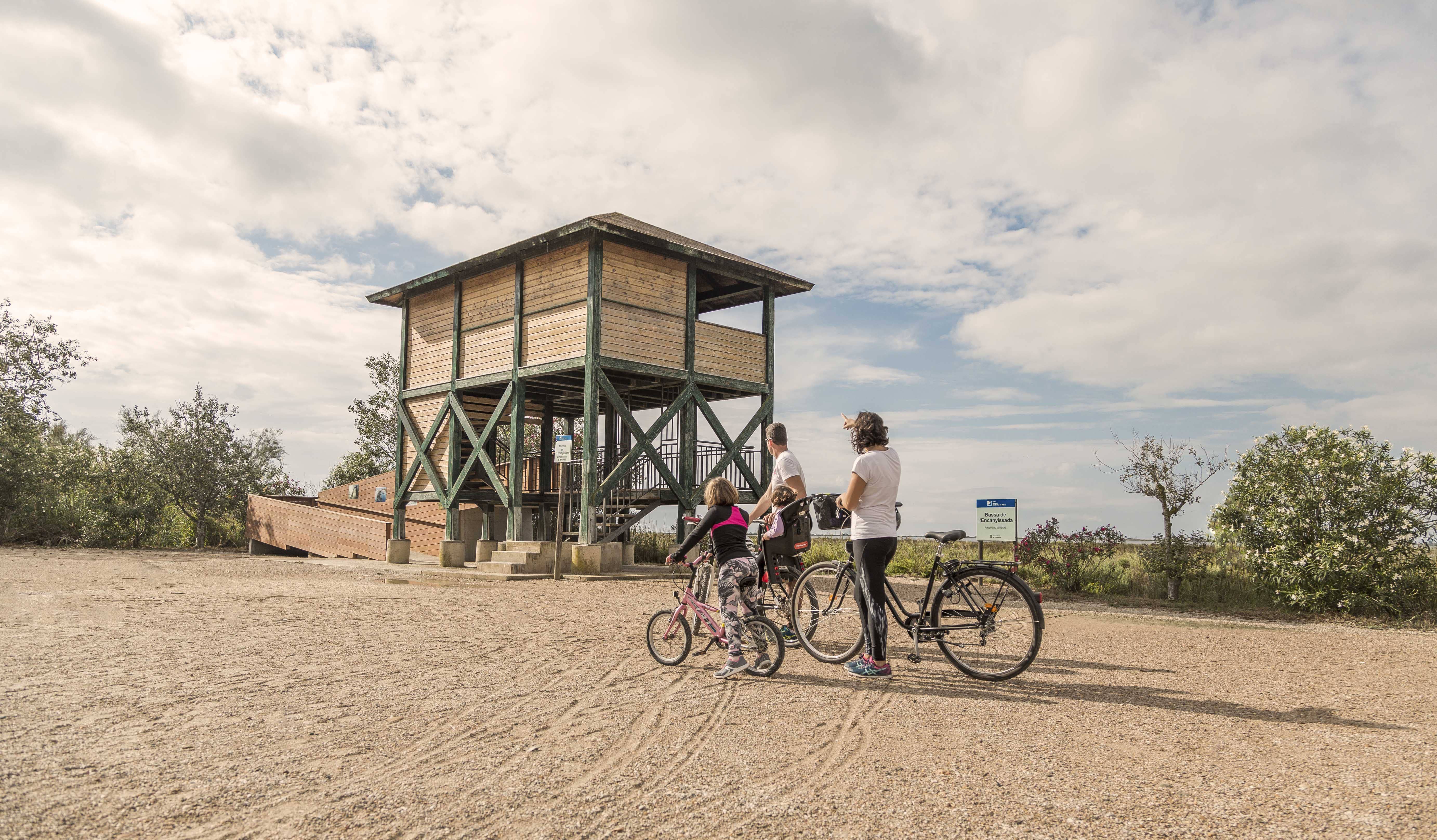
- Enter a natural area shared with an agricultural community, and learn about the values of the zone at the Park’s information centers: the Ecomuseum (tel. 977 489 679) and the Casa de Fusta (tel. 667 001 382).
- Bring a helmet, food, and enough water. Carry a mobile phone and keep the battery charged; in case of emergency, call 112. Depending on the season, it is recommended to bring sunscreen and insect repellent.
- The terrain is completely flat, but be aware of the usual winds in the area.
- Check the weather forecast before heading out at meteo.cat.
- It is advisable to bring materials for repairing punctures.
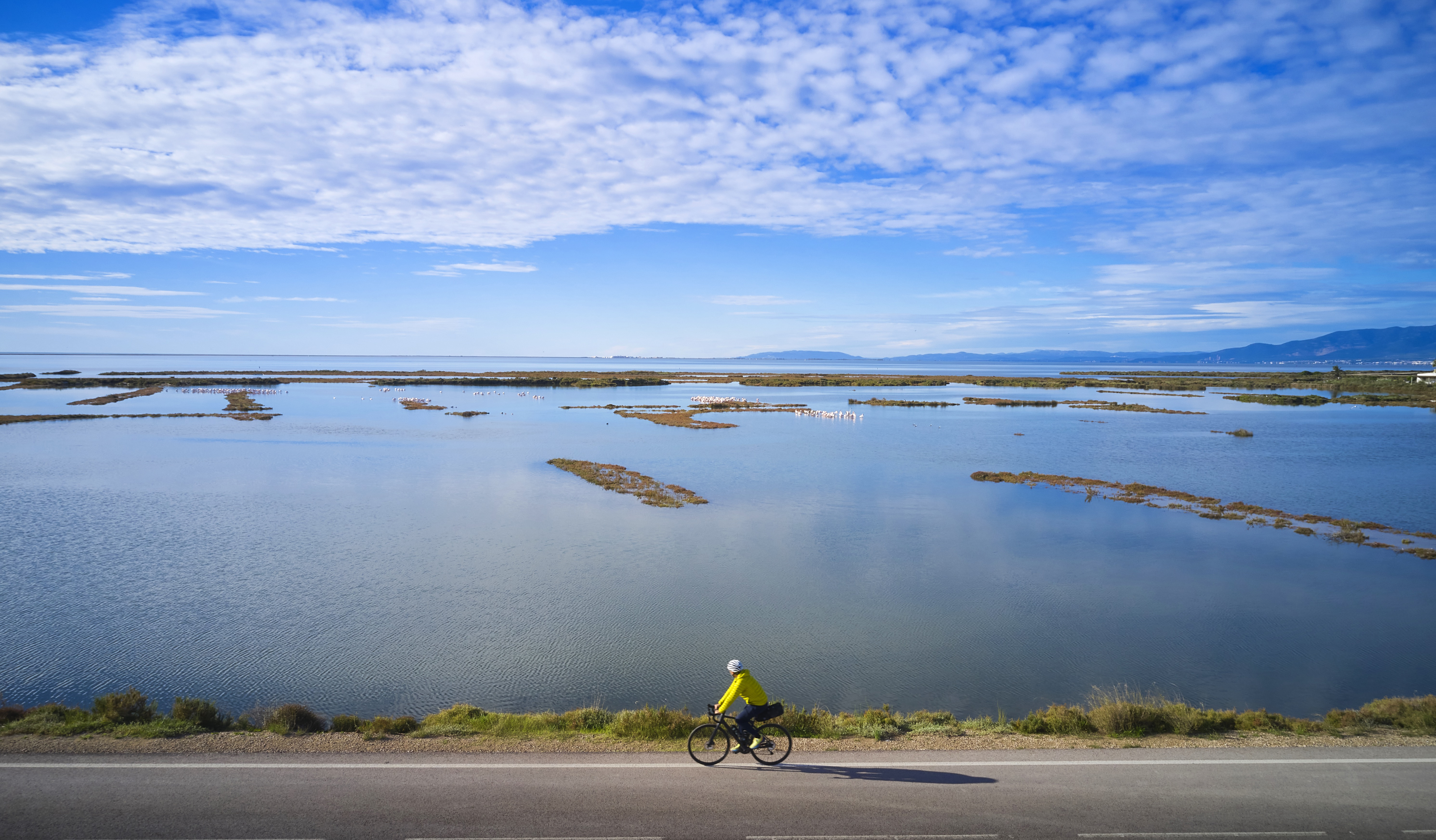
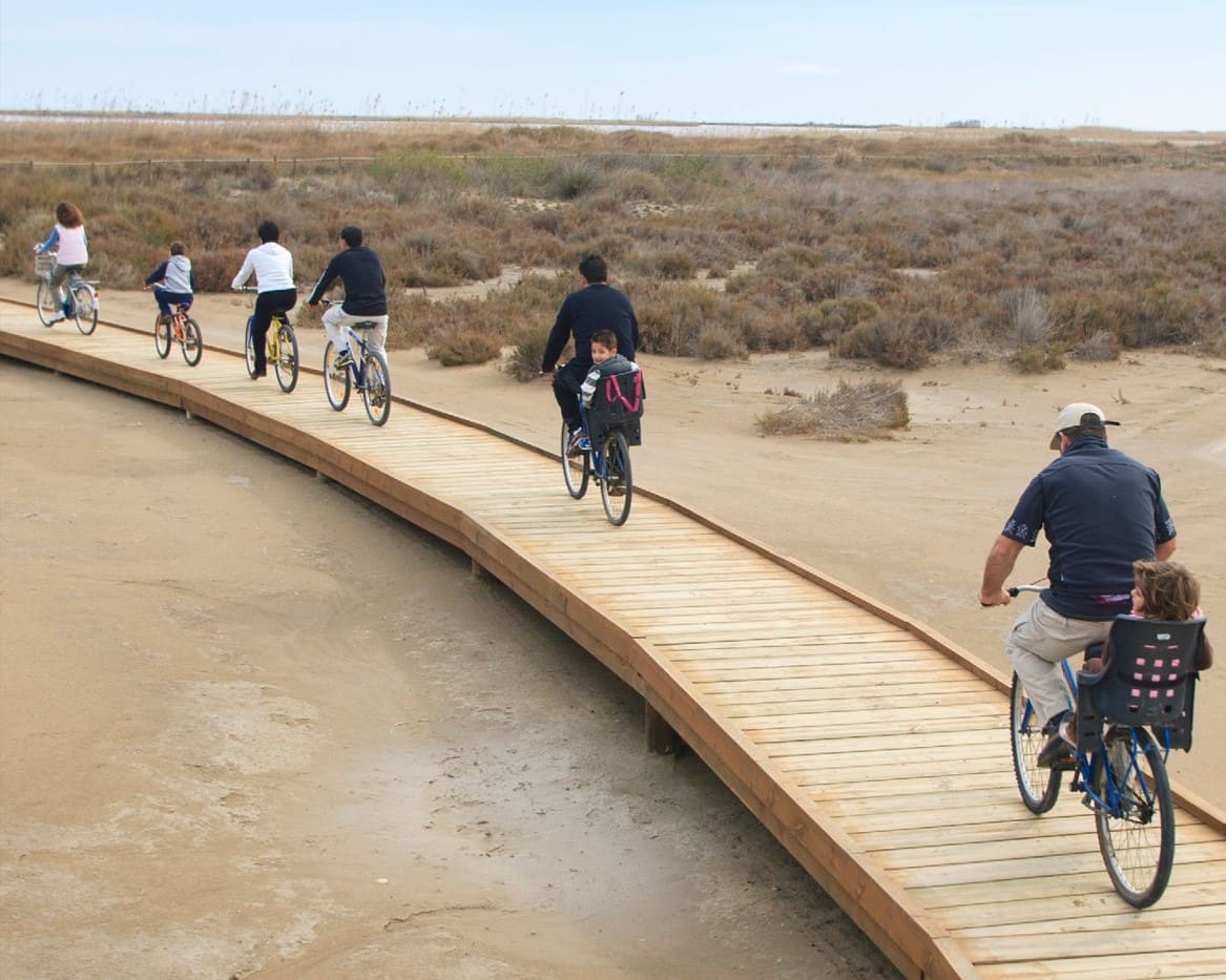
- Use the viewpoints, which will show you the delta landscape. Bring binoculars for birdwatching.
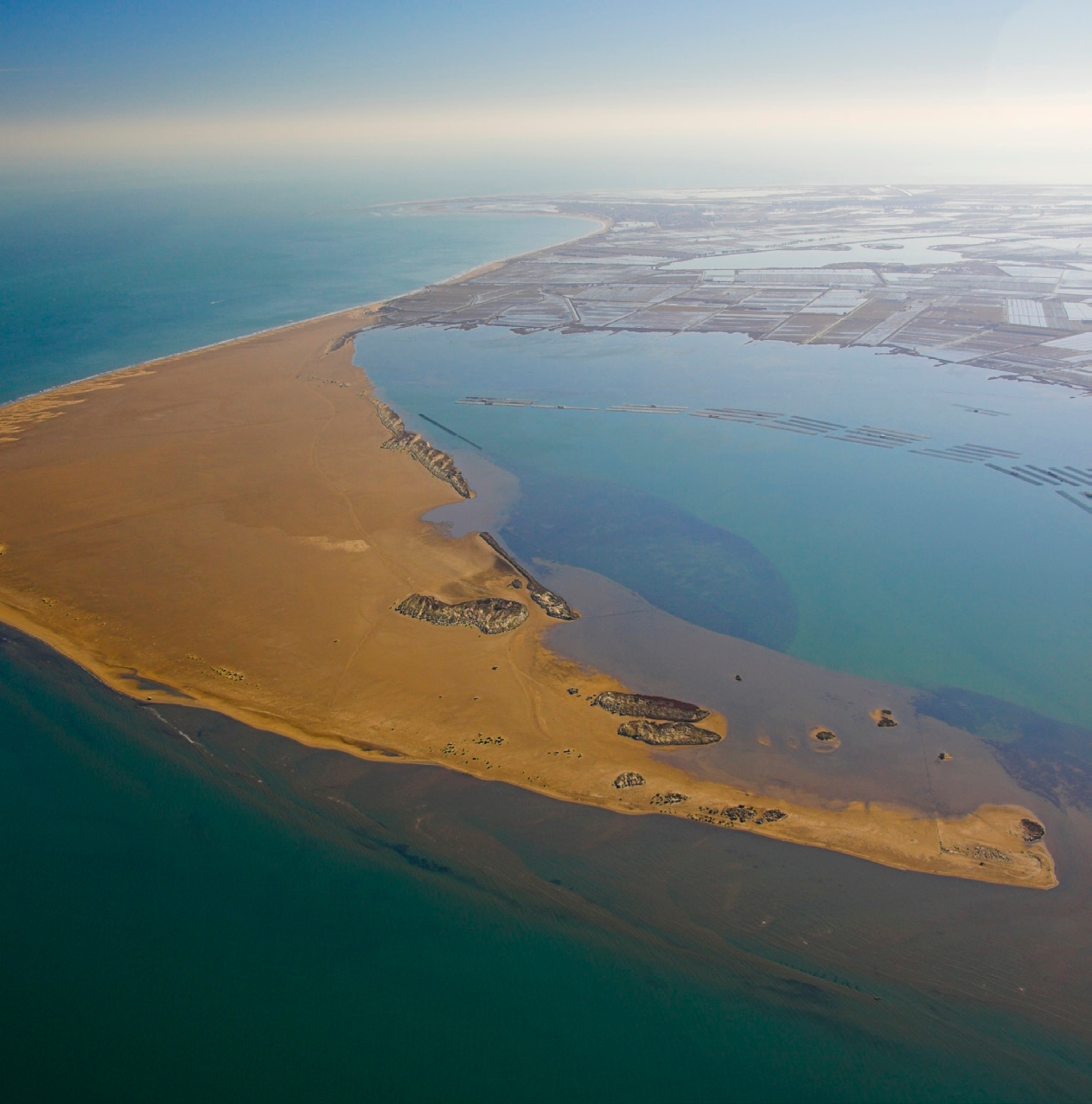
Amposta is a Spanish municipality and town in the province of Tarragona, in the autonomous community of Catalonia. It is the capital of the Montsià region. Located at an altitude of 8 m above sea level, on the banks of the Ebro River, the municipality has a population of 22,637 (INE 2024). Its economic activity is mainly agriculture (rice farming) and services. In the final years of the 20th century, a small but important industrial sector emerged based on the food, paper and packaging industries, furniture, and a multitude of small machinery workshops. In addition to the city of Amposta, the municipality includes the town of Poblenou del Delta and part of Balada.
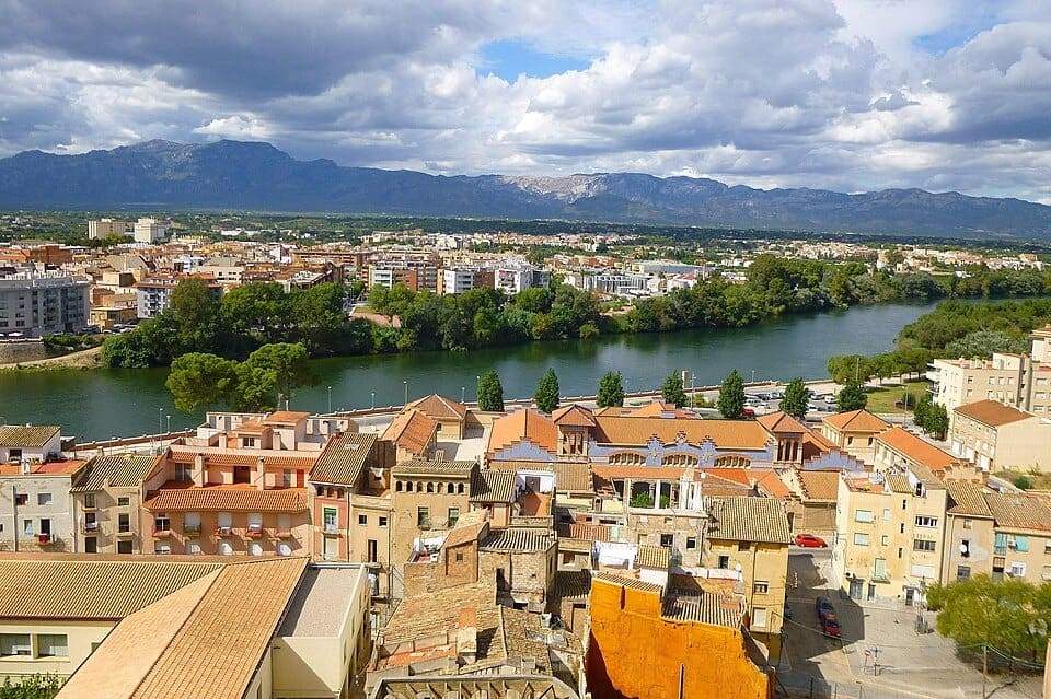
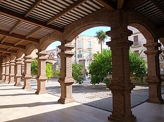
Tortosa, capital històrica de les Terres de l’Ebre, és una ciutat amb un ric patrimoni que conserva l’empremta de diverses cultures, amb la imponent catedral de Santa Maria, el castell de la Suda i els carrers del nucli antic com a principals referents. Travessada pel riu Ebre, combina l’encant del seu llegat arquitectònic amb una vida cultural activa i una gastronomia marcada pels productes de l’horta i del riu. Des d’aquí surten rutes ciclistes que permeten recórrer la Via Verda de la Val de Zafán o explorar els paisatges de l’Ebre i els Ports, convertint Tortosa en un punt de partida perfecte per combinar cultura, natura i esport.
- Since this is a linear route with various possibilities for parking vehicles along the way, you can adjust the itinerary according to your needs and abilities.
- Respect the signage and areas with restricted access.
- Lighting fires is strictly prohibited.
- Respect the flora, fauna, and environment. Collecting animal or plant species, alive or dead, is not allowed.
- Camping is only permitted in established campgrounds.
- In protected areas, dogs must be kept on a leash. Launching or landing drones is prohibited.
- It is forbidden to litter, except in designated areas.
THE ZAFÁN GREENWAY GAME
Explore, learn, and have fun with Antoni and Clara as you travel the routes of the Zafán Valley. Each stop is a new adventure, every challenge a story waiting for you!
Comença a jugar!Along your route, you'll find challenges and activities to earn points, solve clues, or win virtual prizes.
Join our games and become an expert on the Zafán Greenway.
Available games (2)
Observe birds
Find the bird-watching spot along the route, scan the QR code, and answer three questions to earn your badge.
More informationPhotograph shells
Upload a photo to Instagram of the shells you find on the beach using the hashtag #conchasdelFalgar
More information
Weather forecast
Today, Monday, Amposta

Clear
3 km/h
29ºC max
26ºC min
No rain forecast
Next days forecast

Tuesday
32º max
23º min
Wednesday
30º max
24º min
Thursday
30º max
24º min
Friday
30º max
24º min
Other routes you may like...
La Ràpita - Amposta - L'Aldea - Camarles - L'Ampolla (Porta del Delta)