Ecomuseum - Fangar Bay
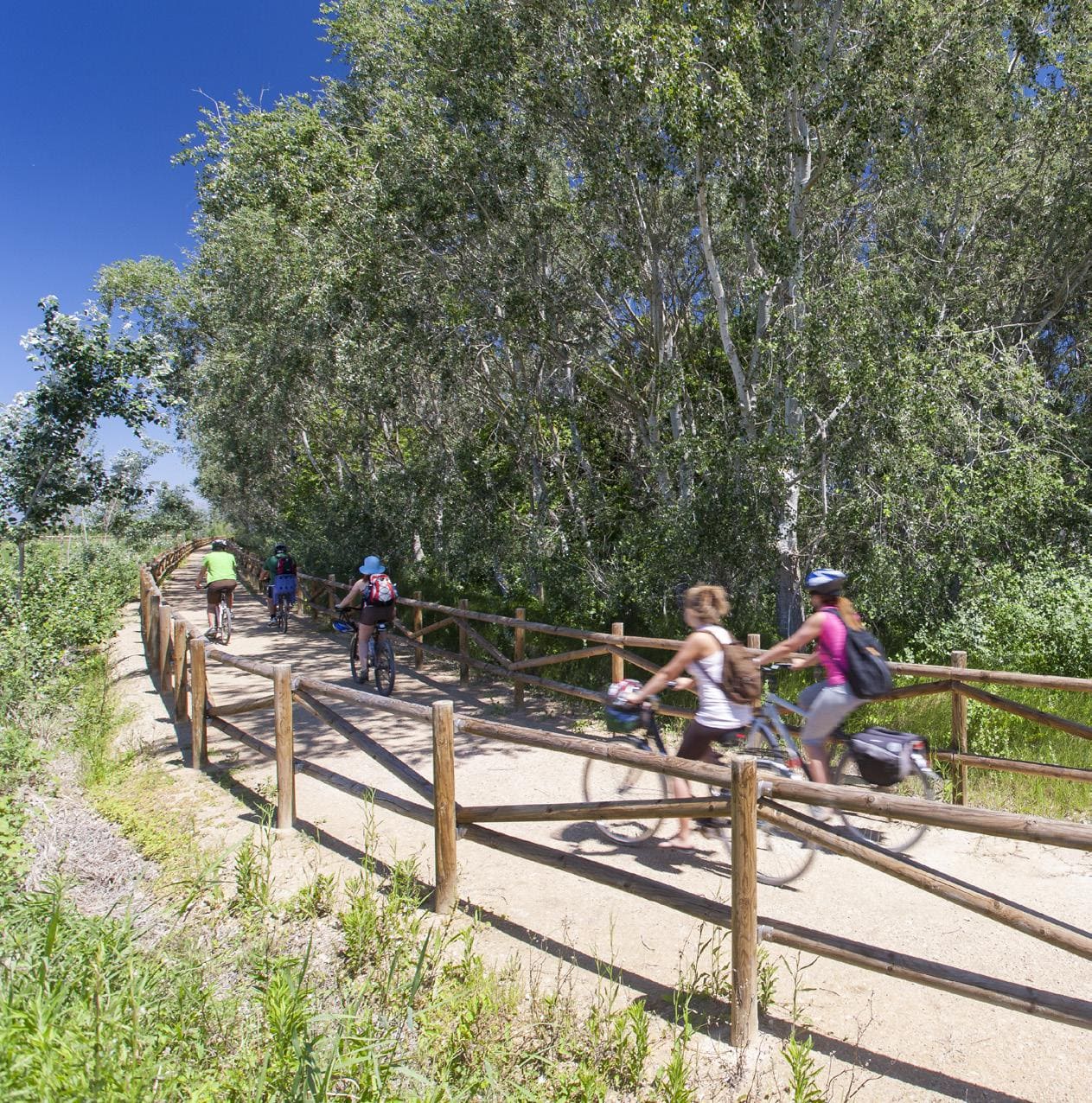
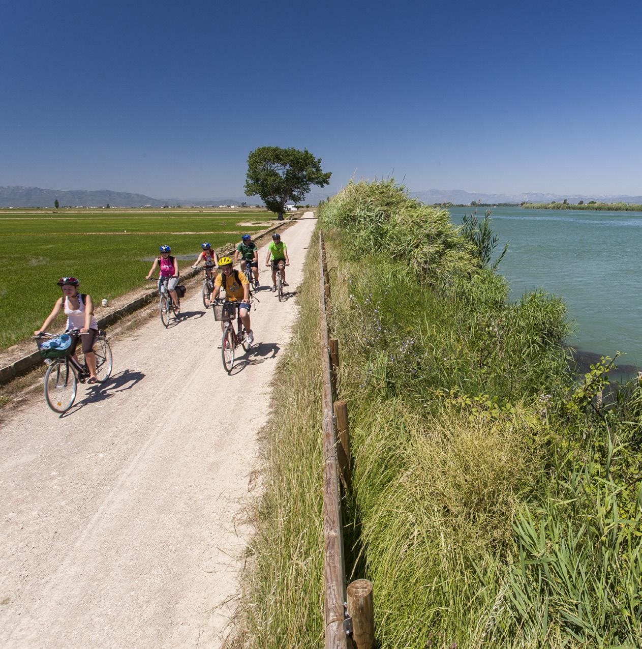
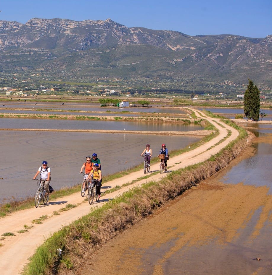
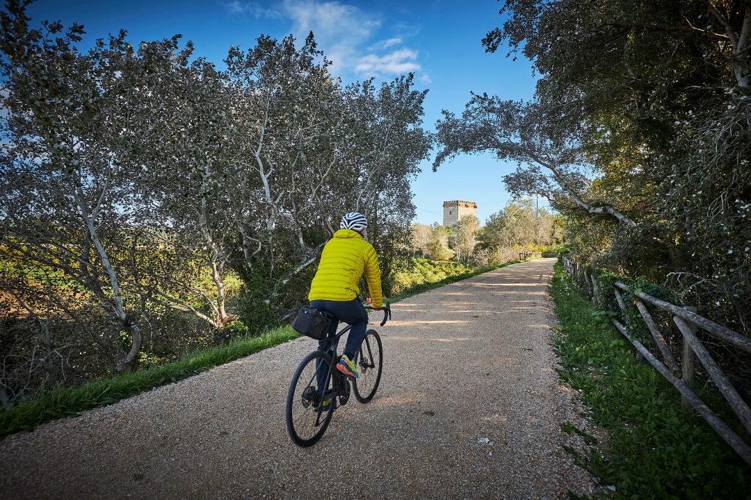
Cycling route through the Ebro Delta Natural Park
Route characteristics
- 17,2 km
- 1 m
- 5 m
- -1 m
With traffic Motorized vehicles are frequent.
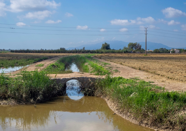
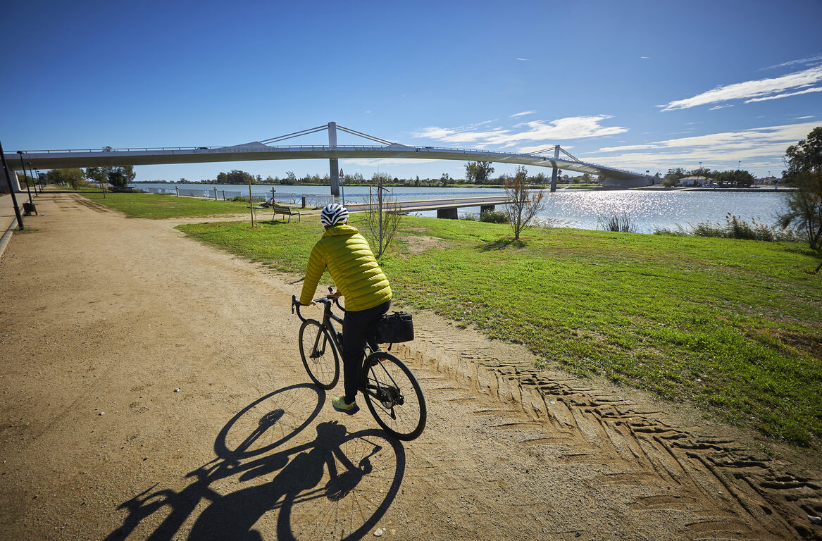
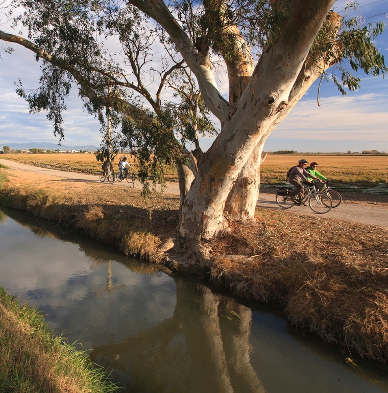
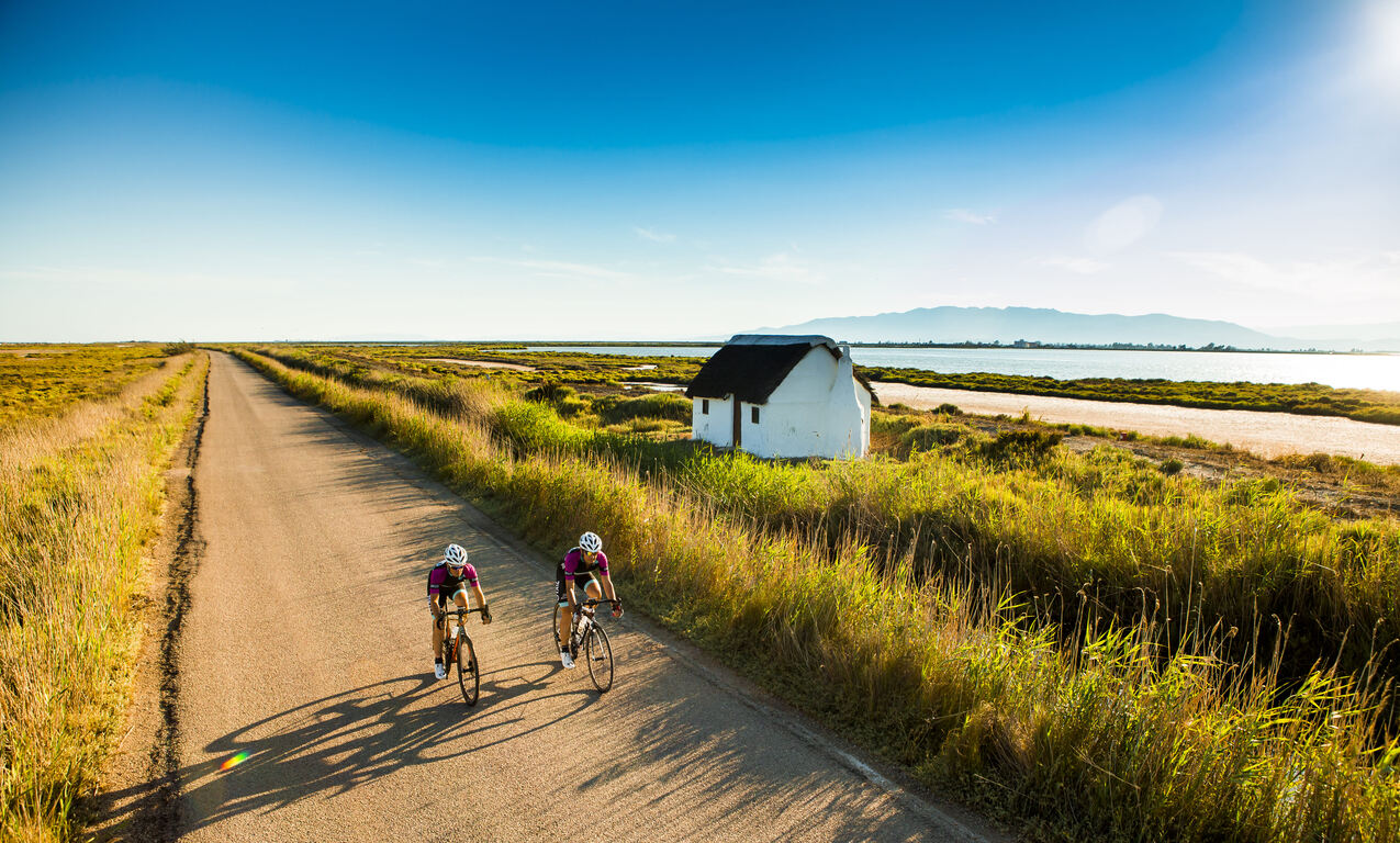
Circular route that connects Deltebre from the Ecomuseum and the port of Illa de Mar, in the Fangar Bay. After leaving the Deltebre cemetery, the route follows the old route of one of the branches of the Ebro River, the so-called Fondo River, still visible today through a winding route in the middle of the regular plots. The Port of Illa de Mar presents the human landscape of the Fangar Bay and its mullet farms and professional shellfish gatherers. Bordering the Fangar Bay, you reach the small port of Rompent, and just after that the route returns to Deltebre between rice fields that around the Mas de la Canyadora occupy the old spaces of the Secanella salt pans, as indicated by the lowest level that these rice fields occupy.
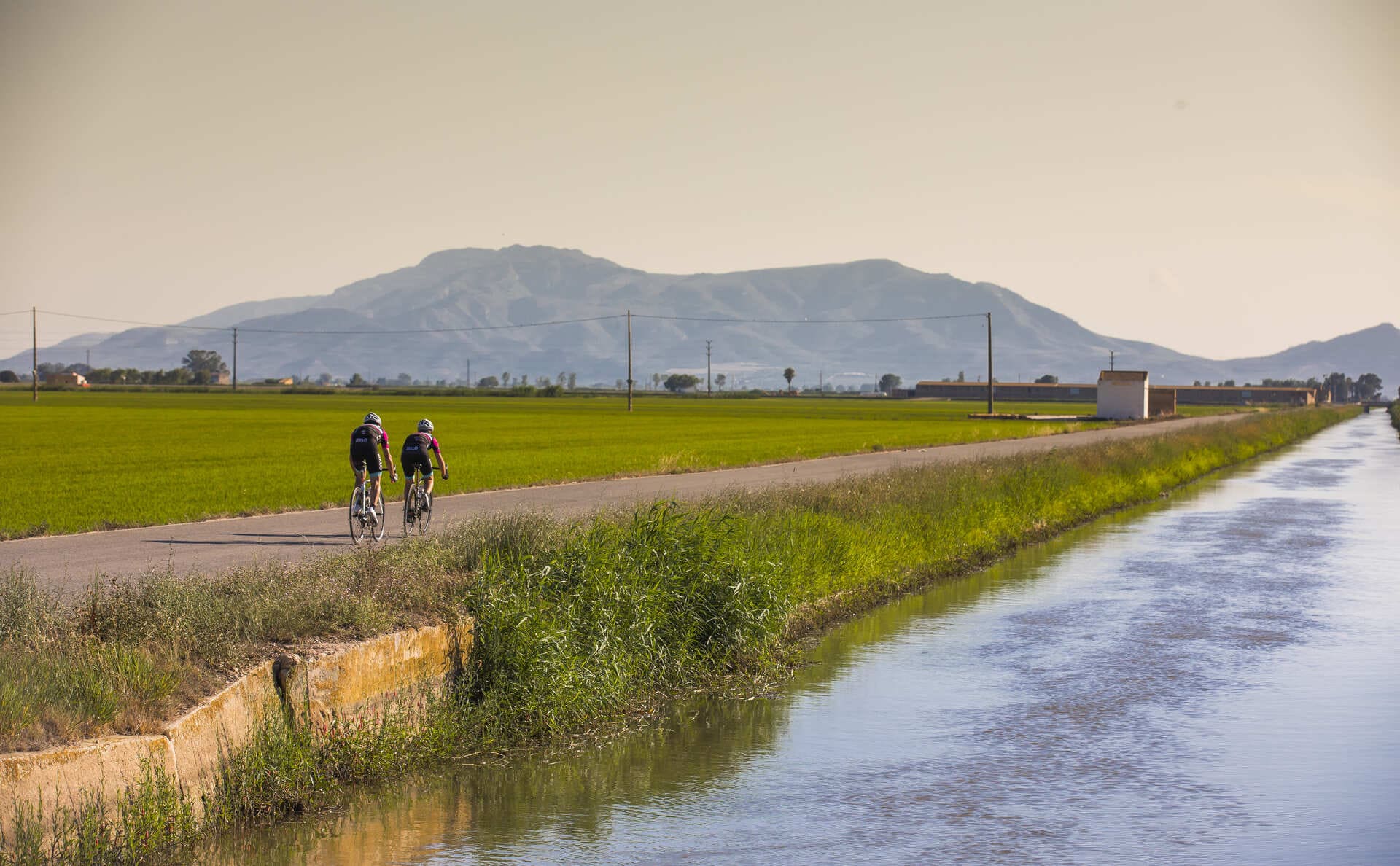
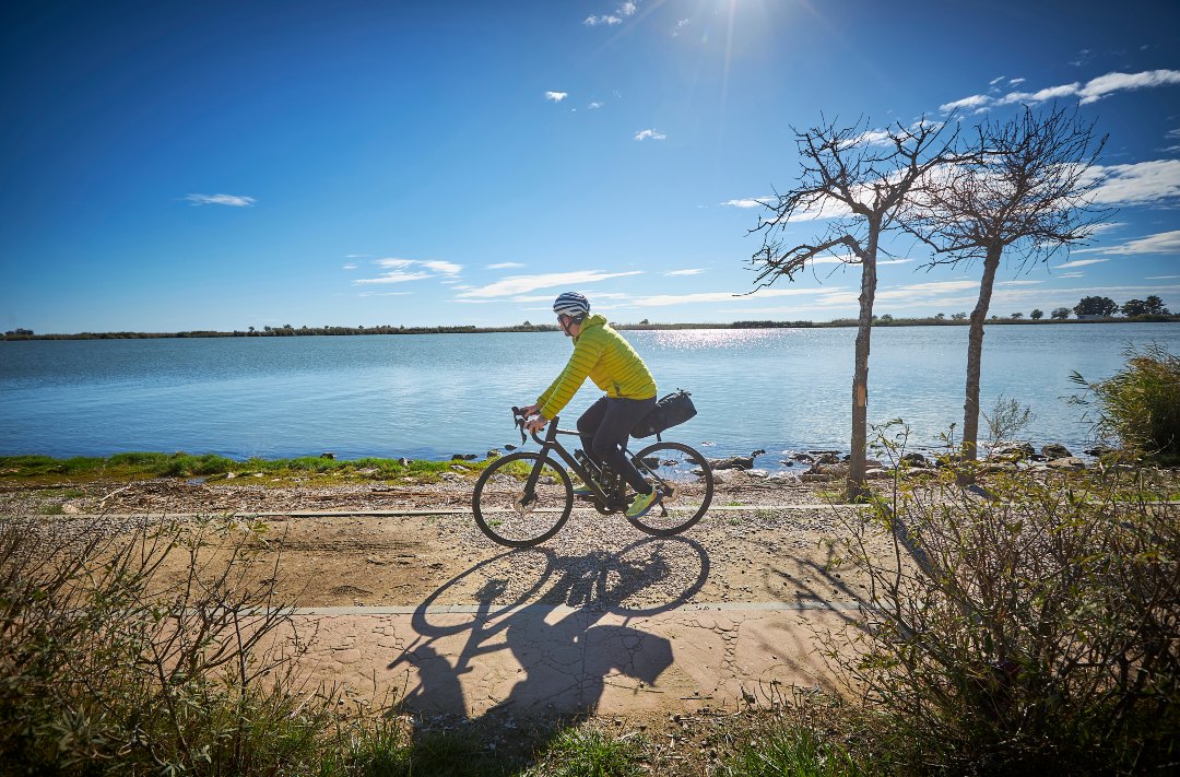
The Ebro Delta is the largest aquatic habitat in Catalonia. The river, the sea, bays, beaches, dunes, salt marshes, riverside forests, ponds and gullies form its natural landscape which, with the rice fields and the vegetable garden, is home to a rich biodiversity. The uniqueness of the Delta is expressed in its physical and natural reality and also in its particular culture, heritage, history and traditions. The Delta is an inspiring example of how we can maintain a balance between sustainability and development to continue enjoying a fair and acceptable lifestyle.
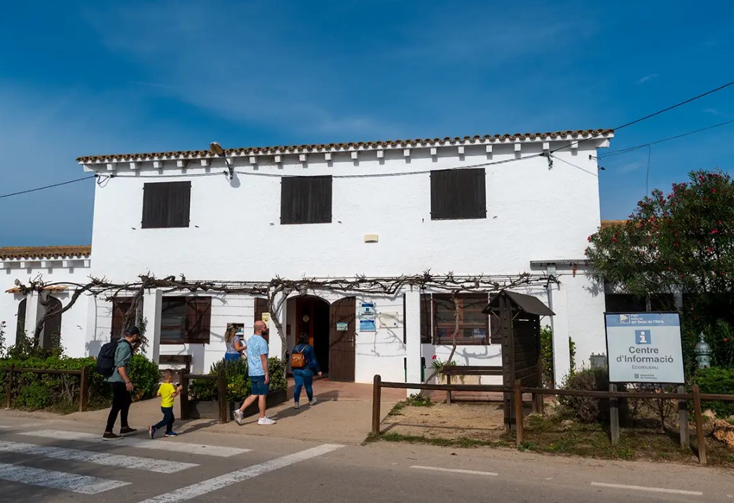
Ecomuseum
Park information center. It houses inside a representation of the main natural and humanized environments of the Delta, in addition to a magnificent aquarium.
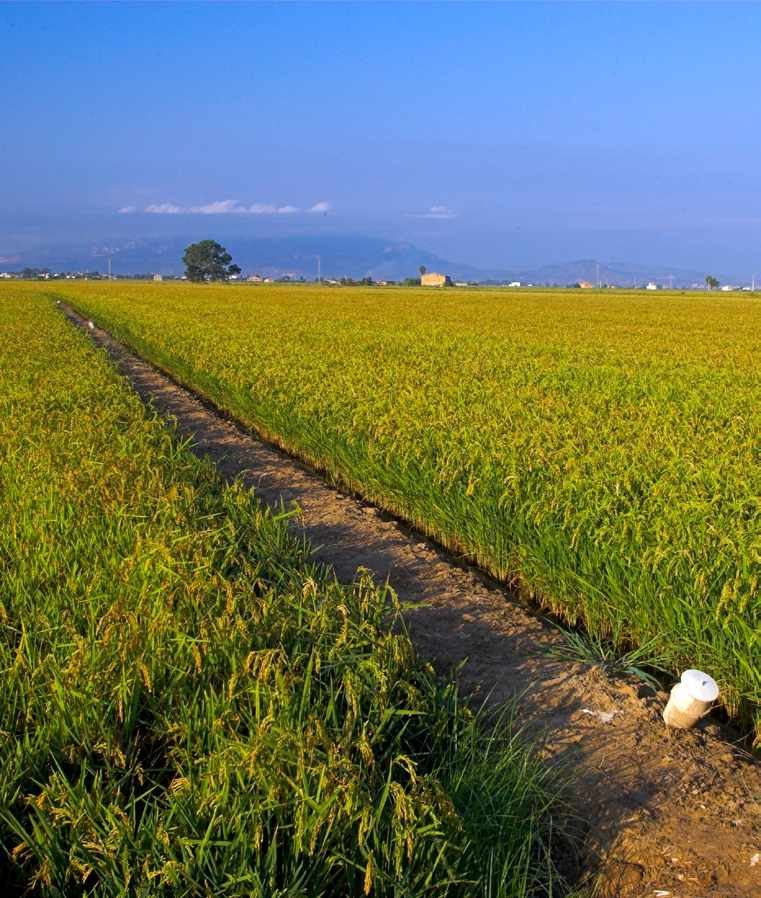
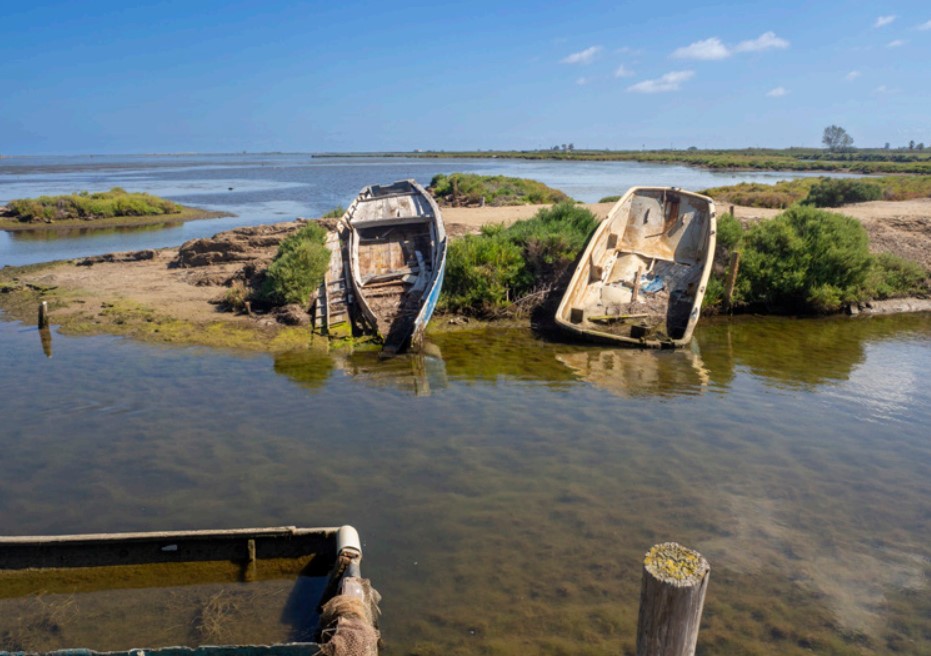
Riu Fund
The Fondo River, still identifiable on the landscape, was an old arm of the Ebro River until the 18th century. Its old leveled course of sediments has been used for the cultivation of rice.
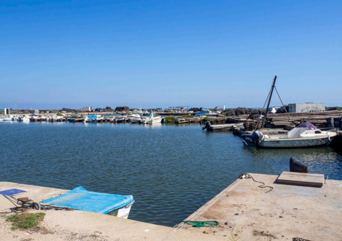
Port of Mar Island
Their boats and equipment are part of this logistical support space for shellfish farming and fishing in Fangar Bay. Next to it we also find the Illa de Mar purification wetland.
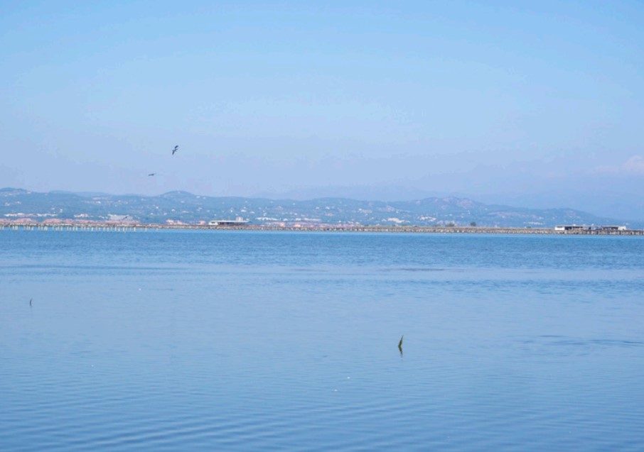
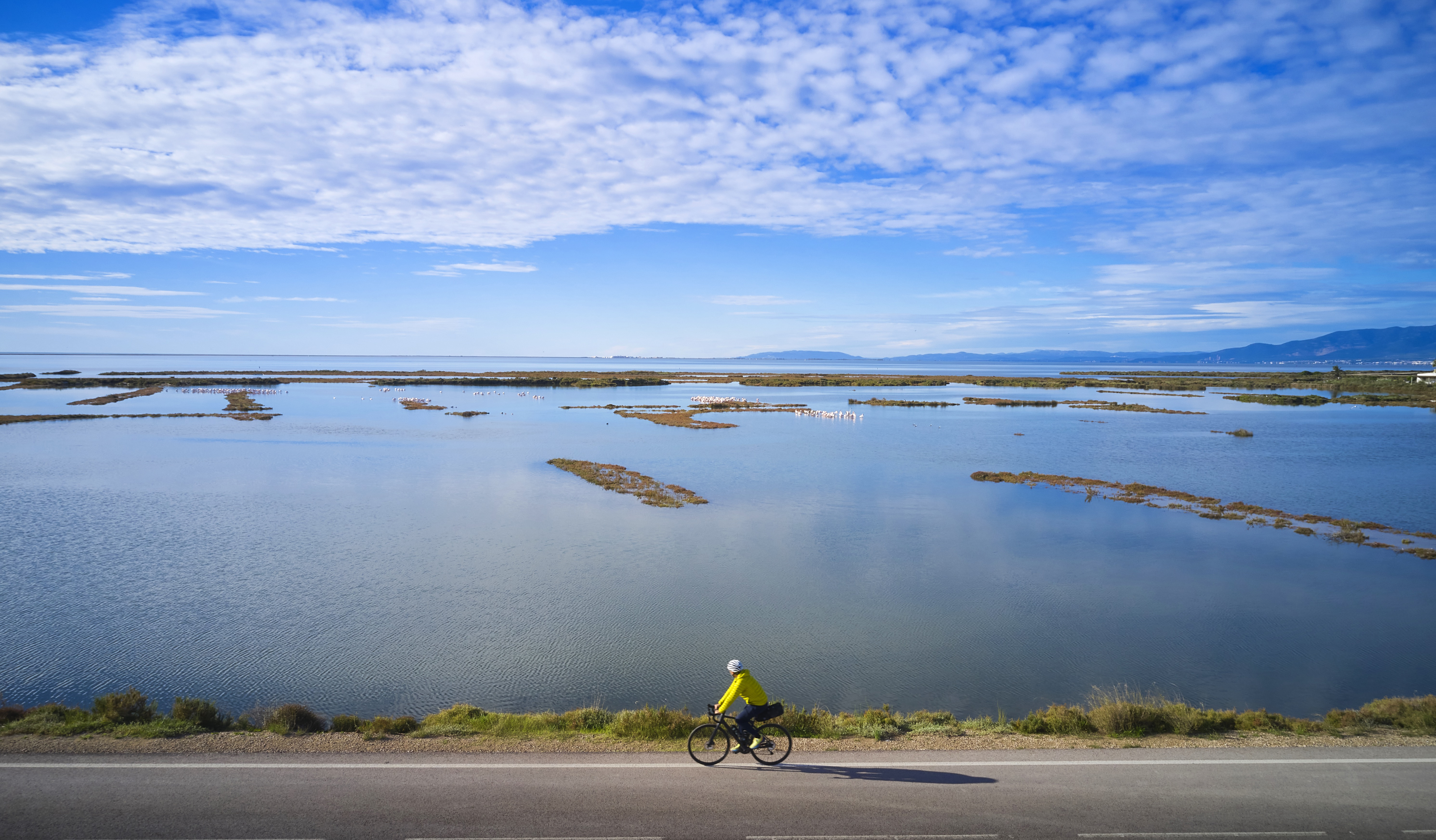
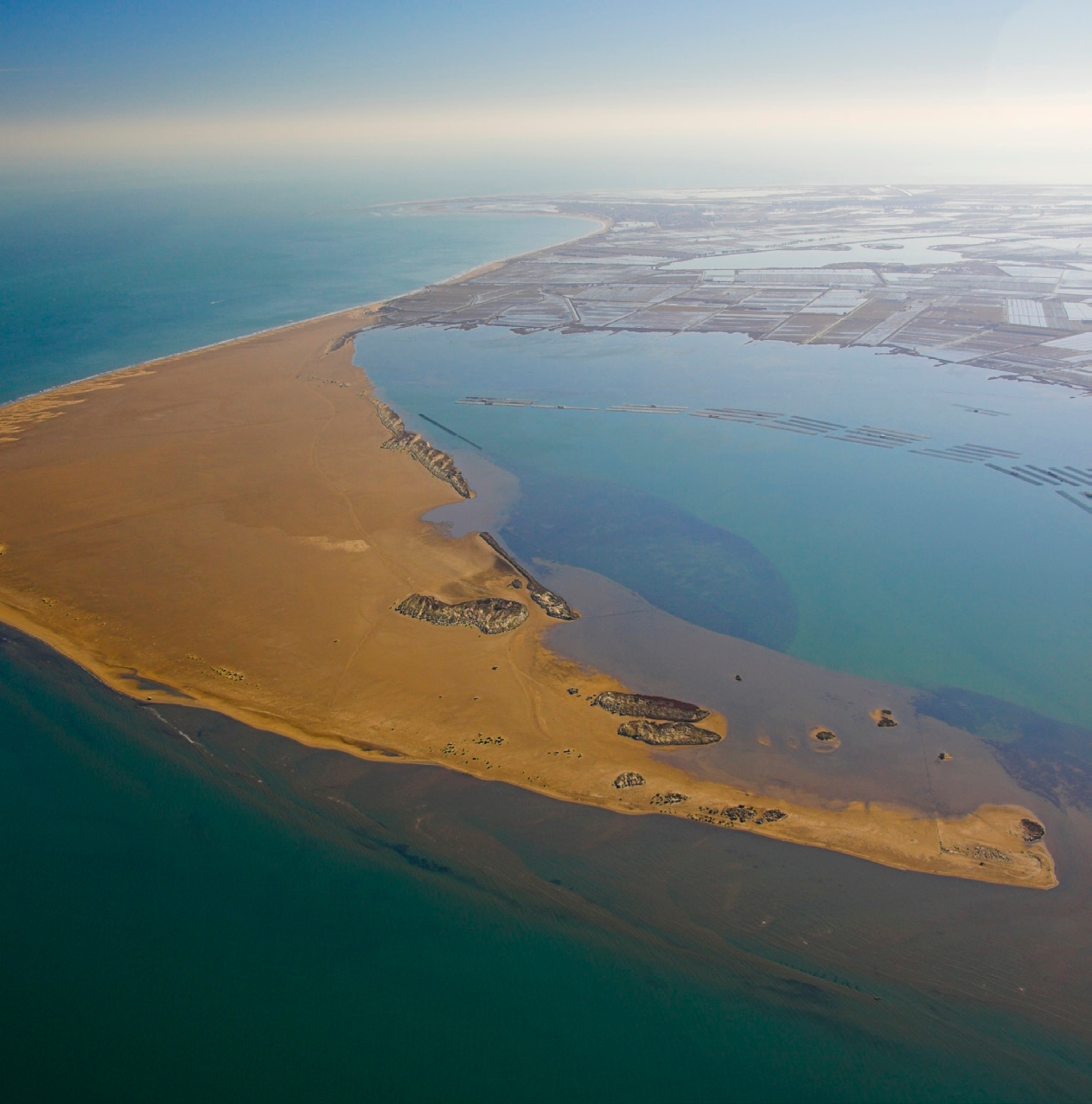
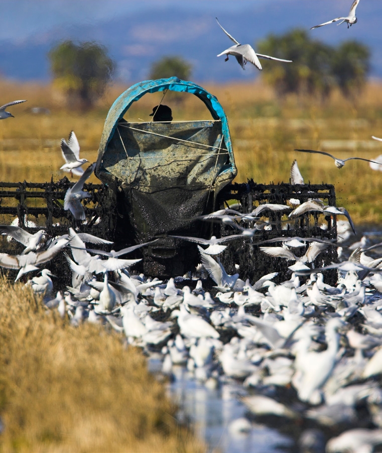
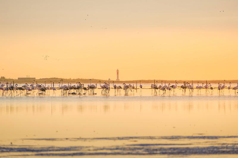
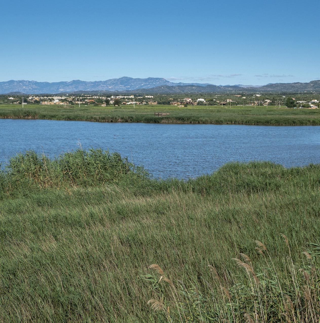
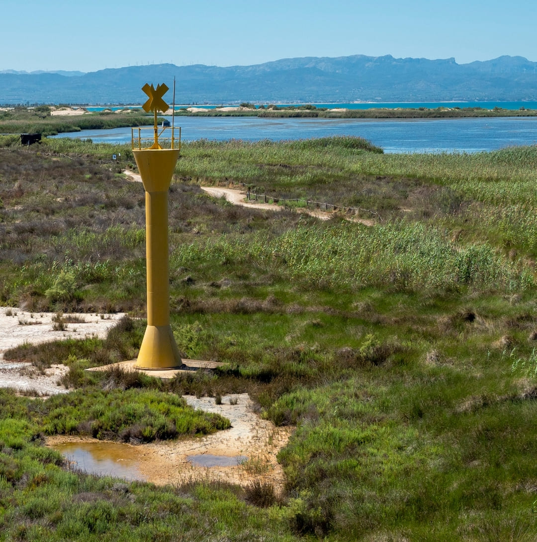
Fangar Bay
Extensive bay enclosed by the Fangar point, of great importance for fauna, as well as for activities such as mollusc farming, fishing and shellfishing.
Port of the Rompent
Port for small boats, also linked to the fishing and collecting activities of Fangar Bay
Tips
- You are entering a natural area shared with an agricultural community; learn about the values of the area at the Park’s information centers: the Ecomuseum (tel. 977 489 679) and the Casa de Fusta (tel. 667 001 382).
- It is necessary to wear a helmet and bring enough food and water. Carry a mobile phone and conserve battery; in case of emergency, call 112. Depending on the season, it is advisable to bring sunscreen and insect repellent.
- The terrain is completely flat, but be aware of the common winds in the area.
- Check the weather forecast before heading out on the website meteo.cat
- It is advisable to carry puncture repair equipment.
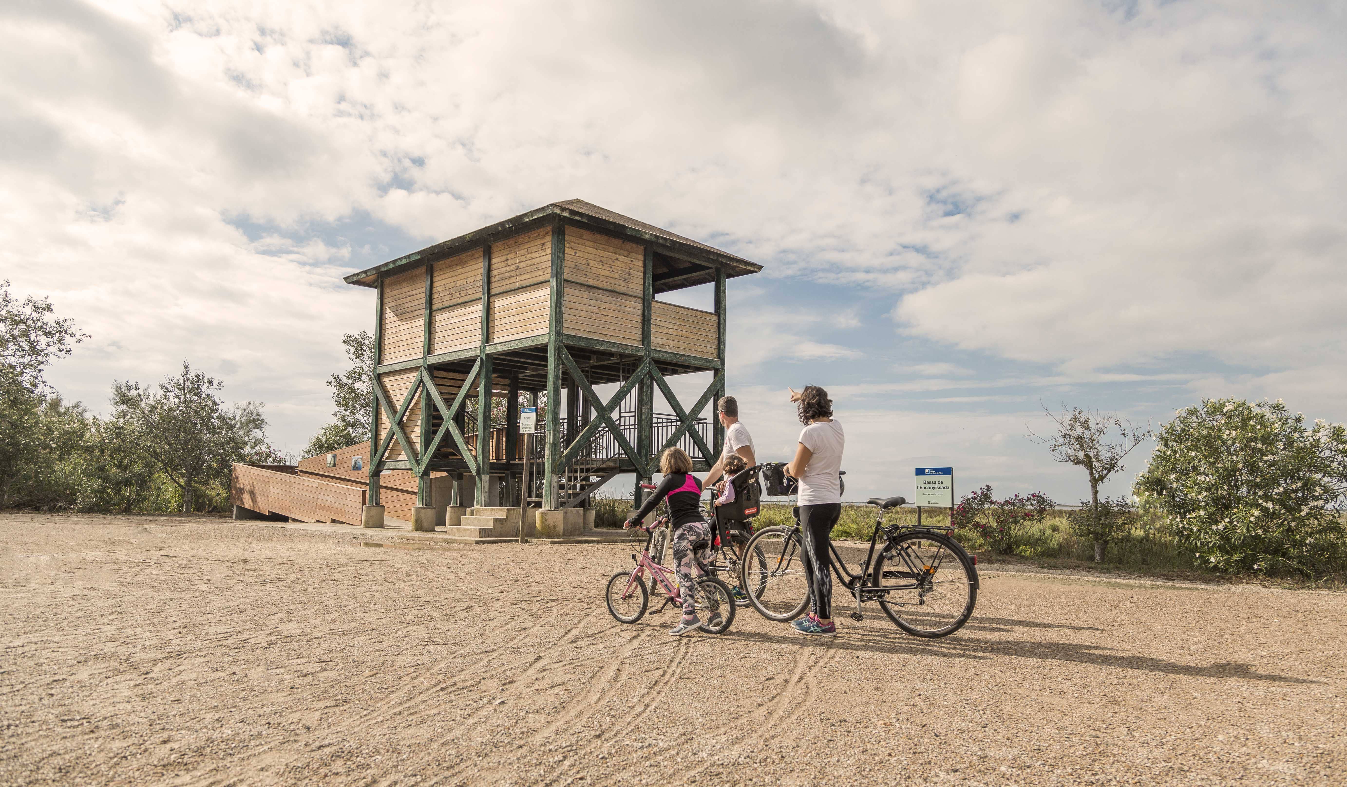
- Use the viewpoints—they will show you the delta landscape. Bring binoculars to observe the birds.


Deltebre is a young municipality located at the edge of the Ebre Delta. This fet, sens dubte, clearly marks the character of the people, and also provides a clue to deduce the orography and the intrinsic characteristics of the population.
- As this is a linear route with various options to park vehicles along the way, you can adjust the itinerary according to your needs and abilities.
- Respect the signage and restricted access areas.
- Lighting fires is strictly prohibited.
- Respect the flora, fauna, and environment. Collecting animal or plant species, whether alive or dead, is not allowed.
- Camping is only permitted in established campsites.
- In protected areas, dogs must be kept on a leash.
The take-off and landing of drones is prohibited. - Littering is prohibited, except in designated areas.
THE ZAFÁN GREENWAY GAME
Explore, learn, and have fun with Antoni and Clara as you travel the routes of the Zafán Valley. Each stop is a new adventure, every challenge a story waiting for you!
Comença a jugar!Along your route, you'll find challenges and activities to earn points, solve clues, or win virtual prizes.
Join our games and become an expert on the Zafán Greenway.
Available games (2)
Observe birds
Find the bird-watching spot along the route, scan the QR code, and answer three questions to earn your badge.
More informationPhotograph shells
Upload a photo to Instagram of the shells you find on the beach using the hashtag #conchasdelFalgar
More information
Weather forecast
Today, Wednesday, Deltebre

Clear
15 km/h
0ºC max
100ºC min
No rain forecast
Next days forecast

Wednesday
31º max
24º min
Thursday
31º max
25º min
Friday
29º max
25º min
Saturday
29º max
26º min
Other routes you may like...
La Ràpita - Amposta - L'Aldea - Camarles - L'Ampolla (Porta del Delta)