20.1 Etapa Xacobeu Muntell verges poble nou
First stage of the Cami de Sant Jaume de l'Ebre
Route characteristics
- 25 km
- 7 m
- 6 m
With traffic Motorized vehicles are frequent.

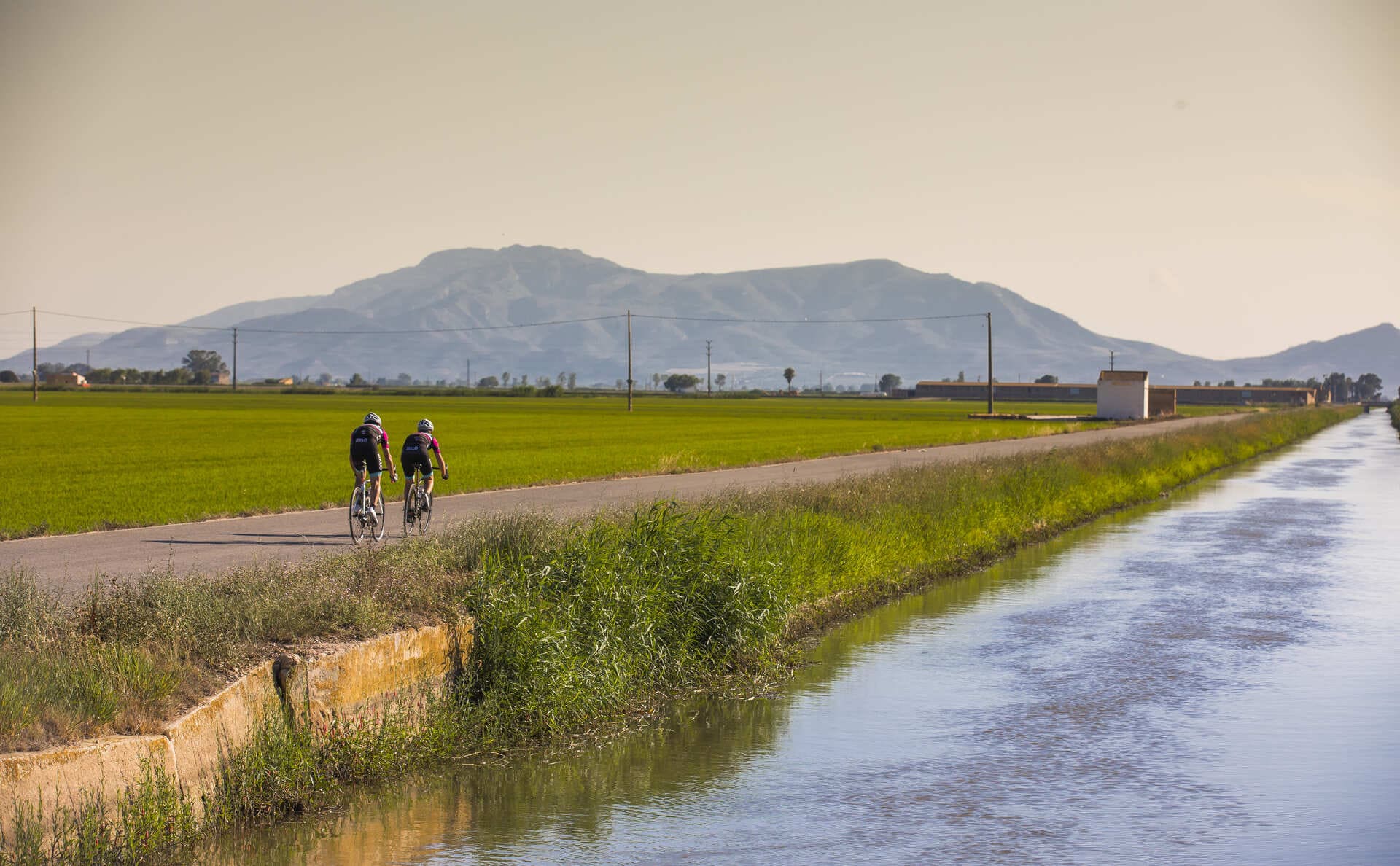
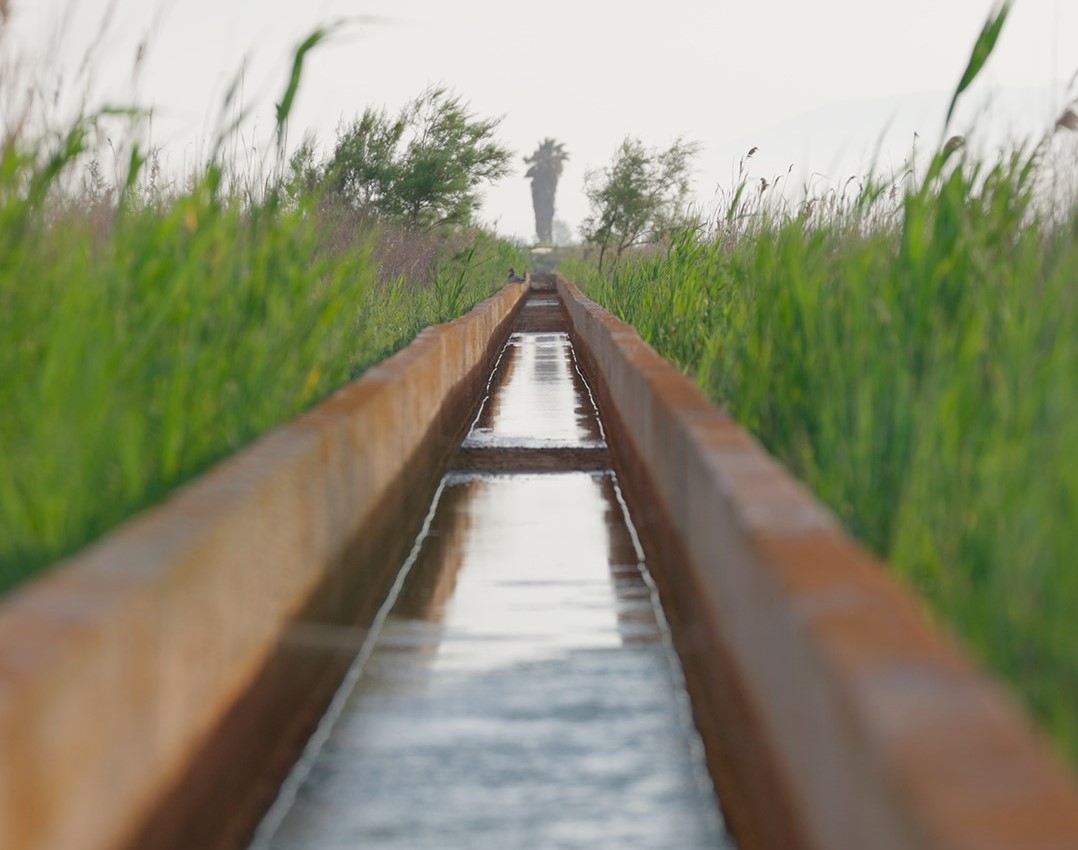
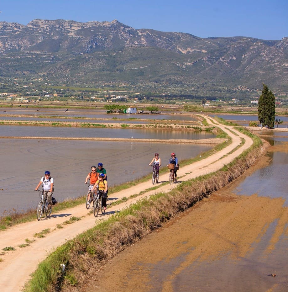
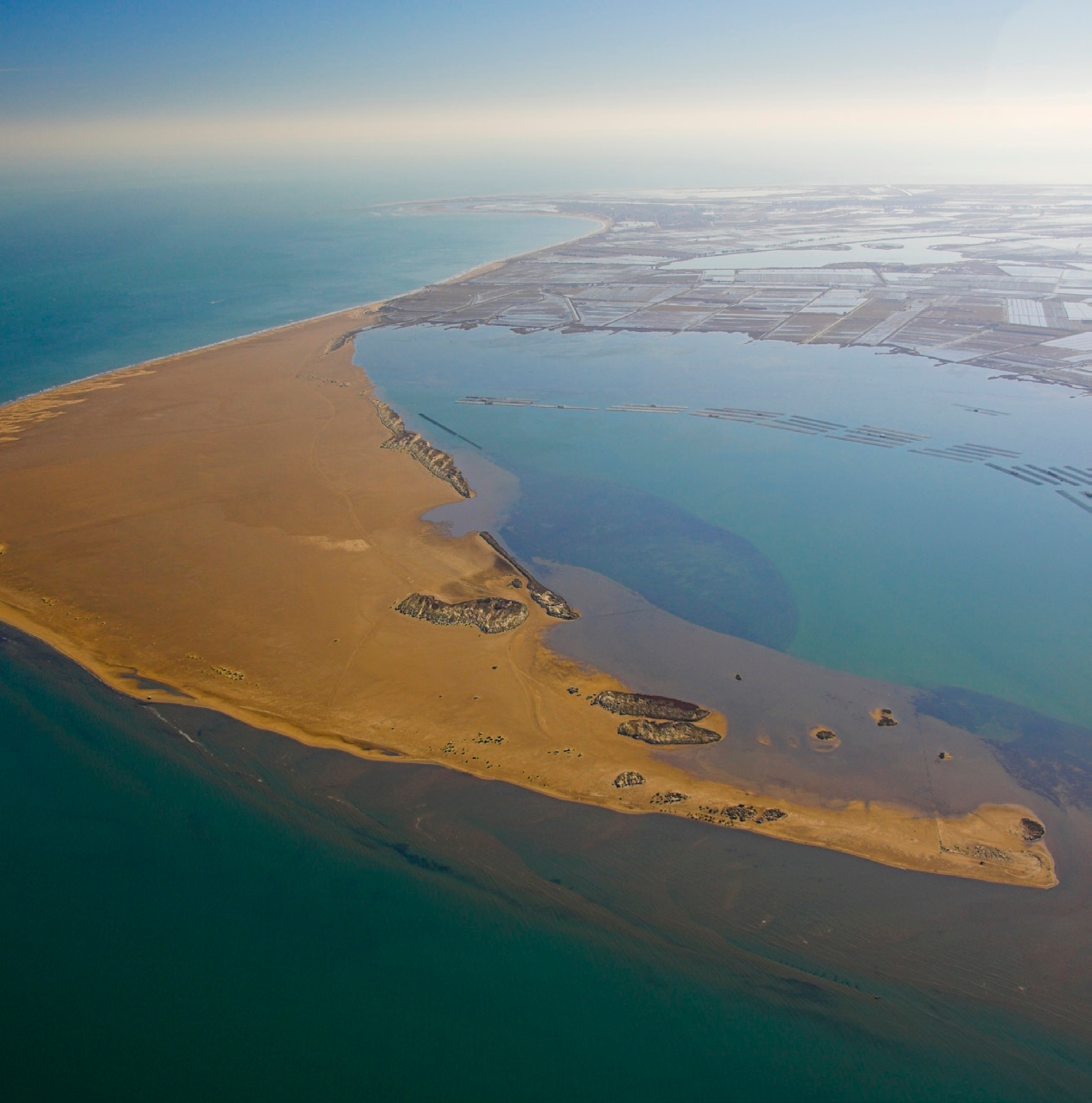
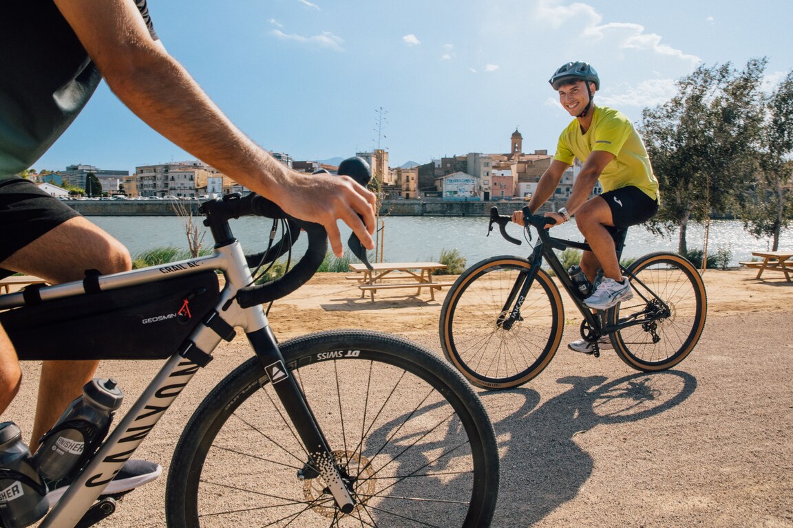
First stage of the Camino de Santiago de l’Ebre, with a route of 24.6 km within a total route of 456 km to Logroño, where it connects with the Camino Francés towards Santiago de Compostela. The stage begins at the mouth of the Ebro, on the hill of Muntell de les Verges, the highest point in the Delta at about 4 meters high, presided over by the monument dedicated to the communities through which the river passes.
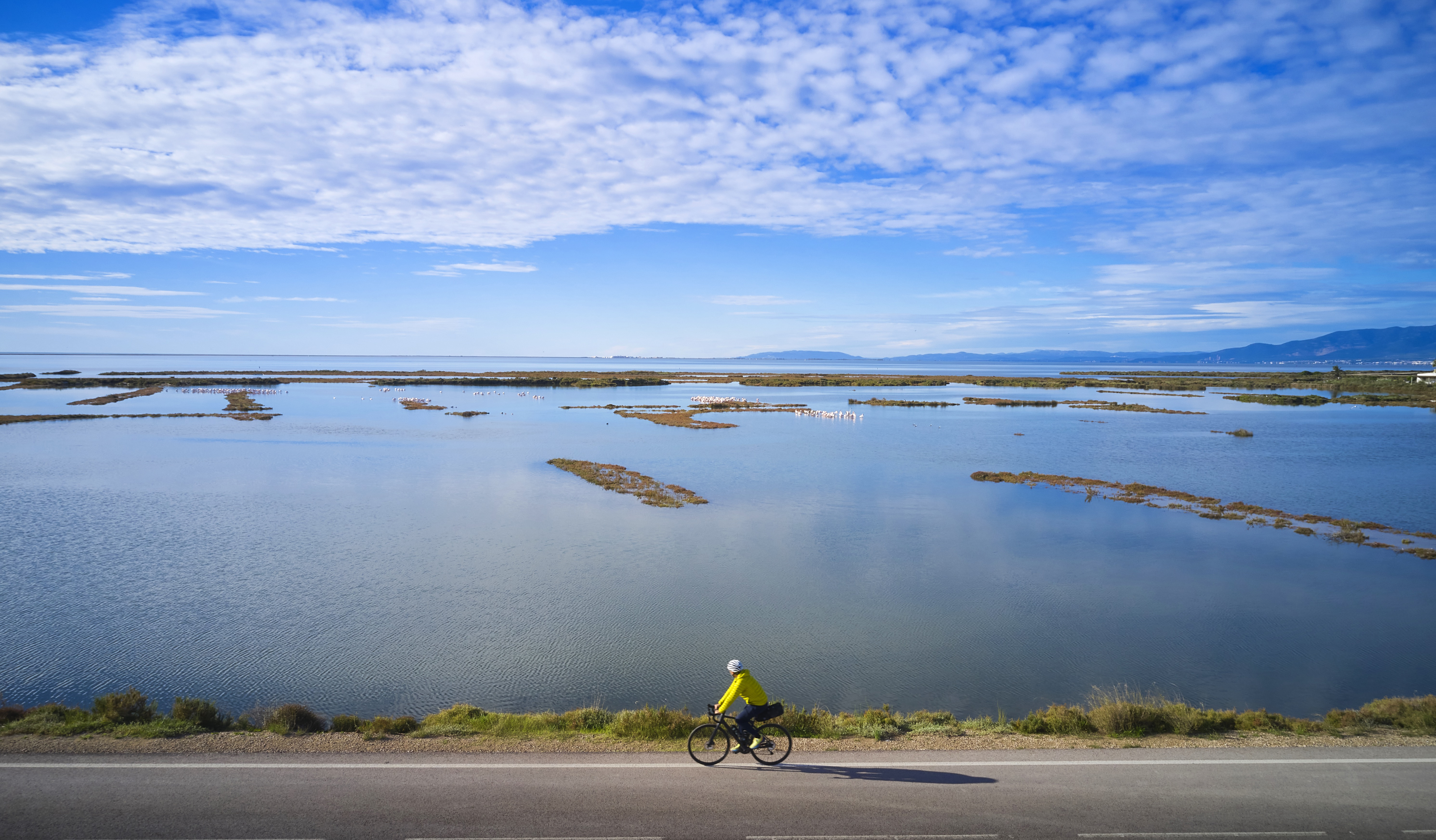
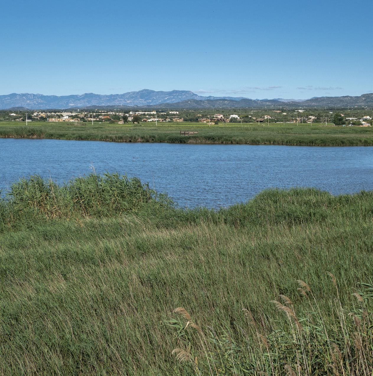
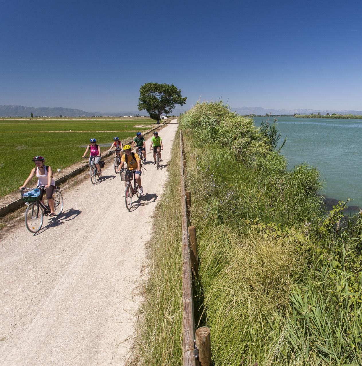
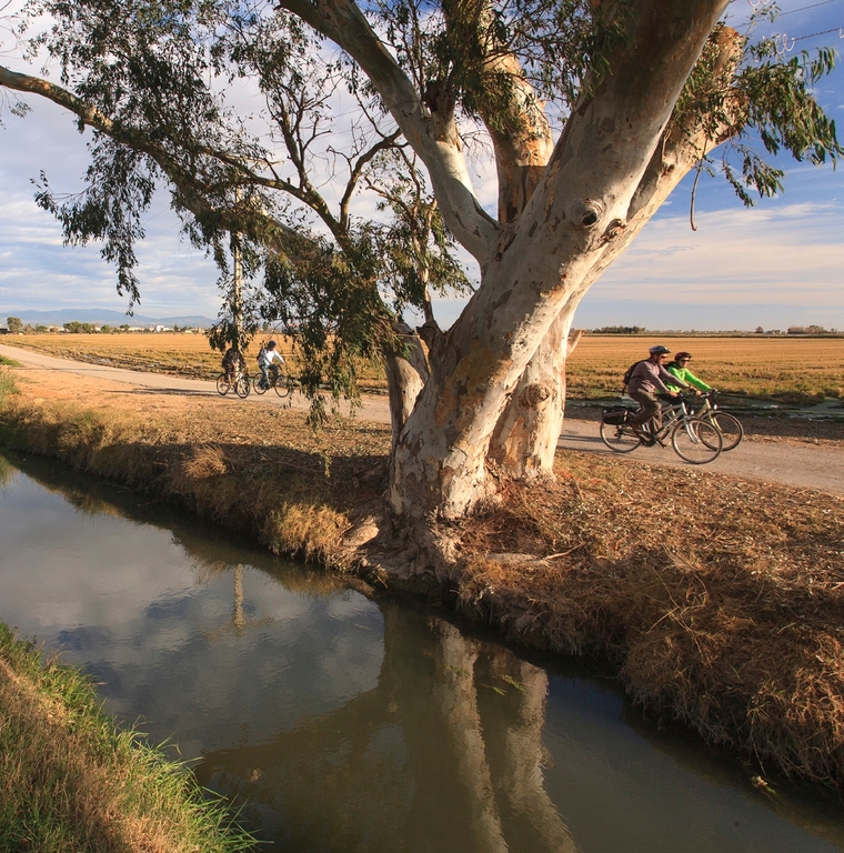
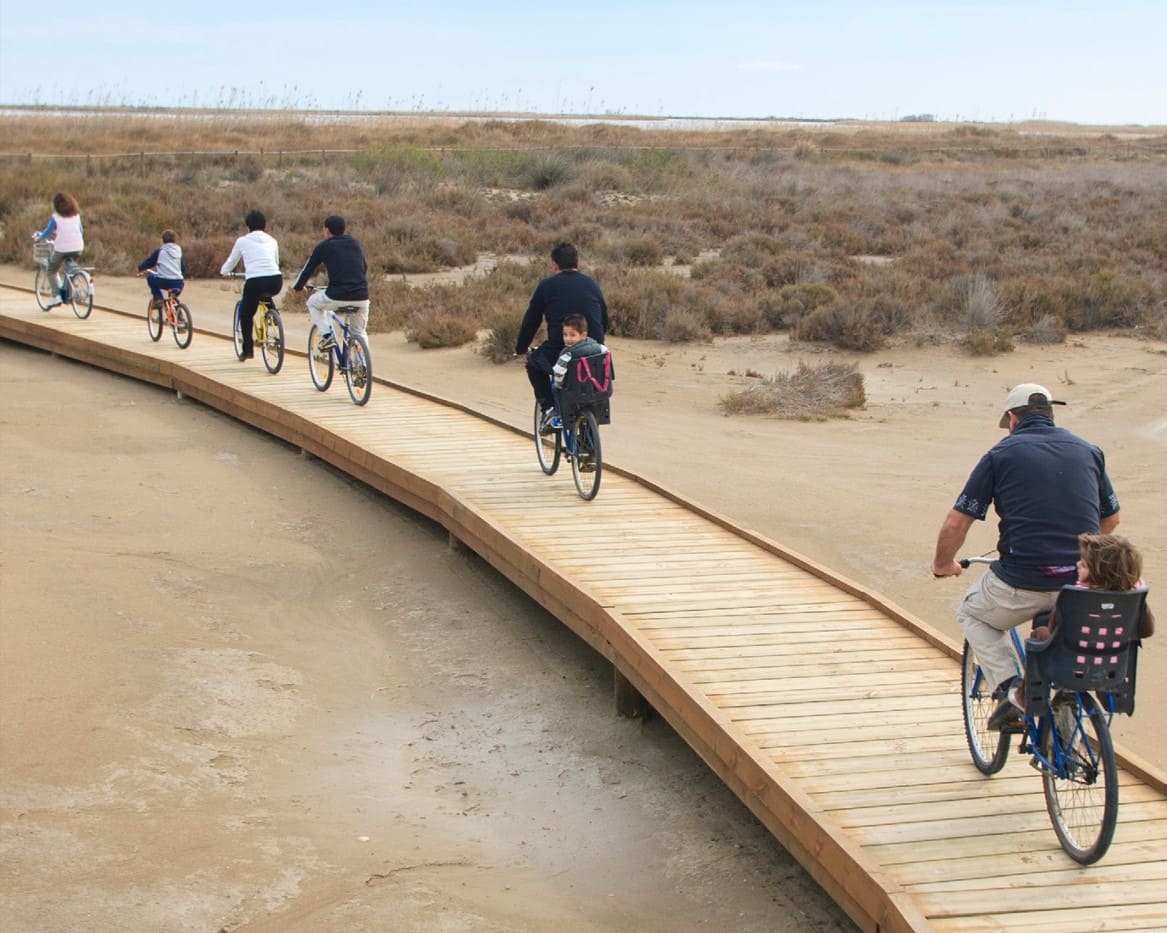
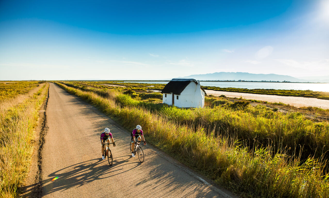
The route is completely flat and runs between rice fields, lagoons and sections close to the Ebro River, in one of the sectors with the richest fauna in the Delta. Flamingos, ducks, cormorants, kingfishers, coots and many other species accompany the walker on this stage of great natural value.
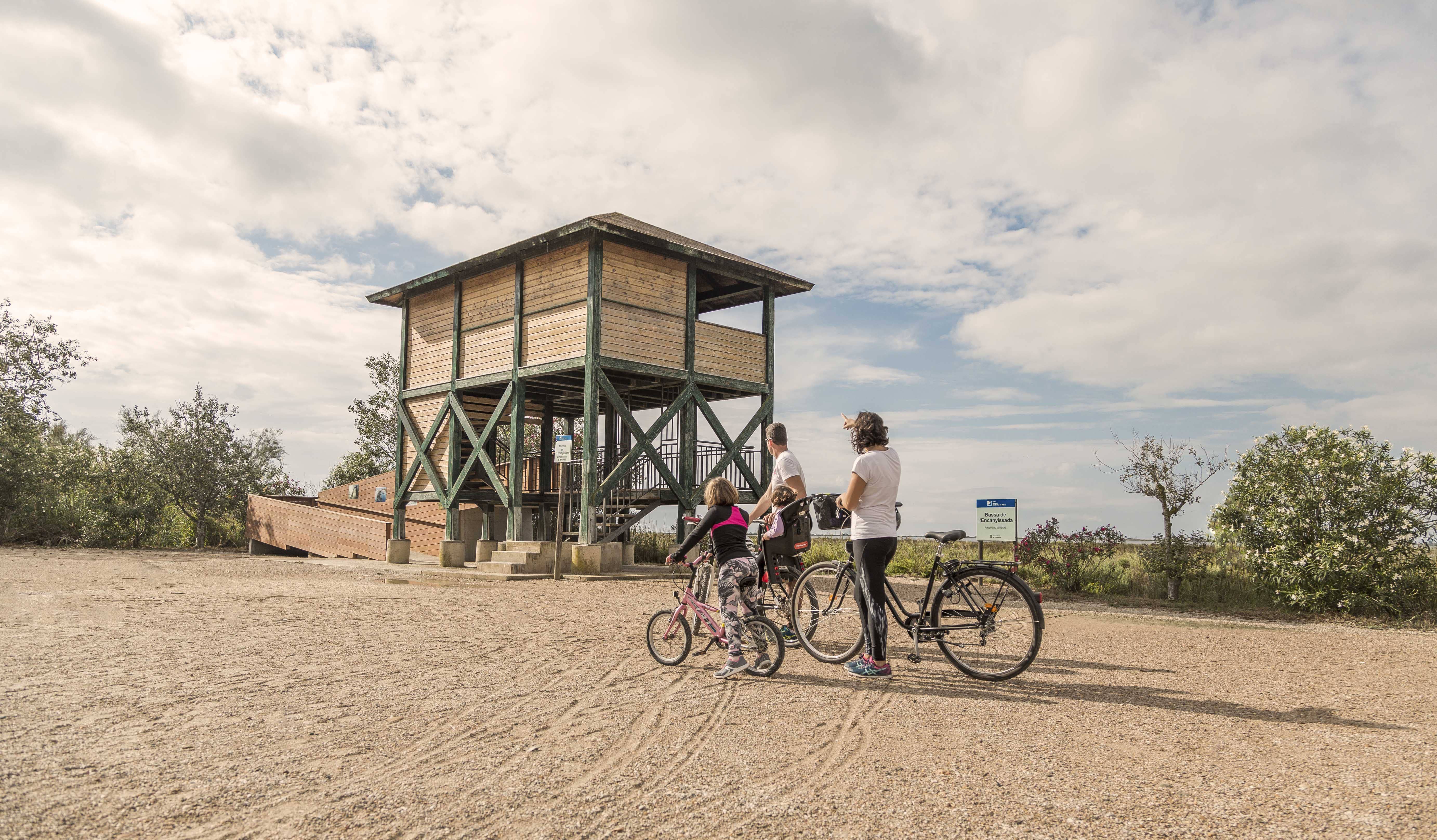
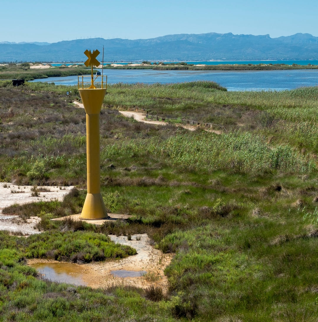
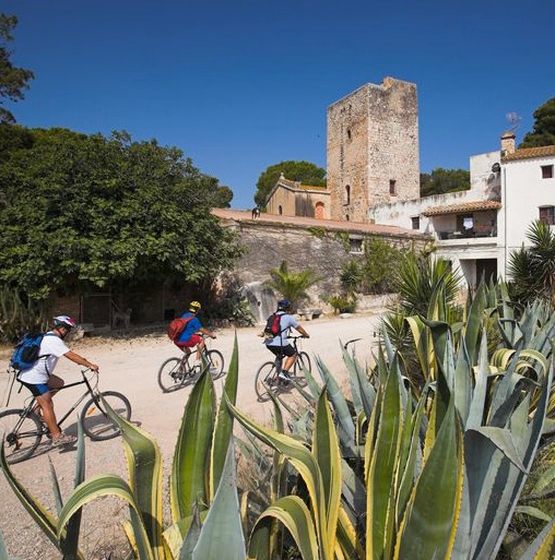
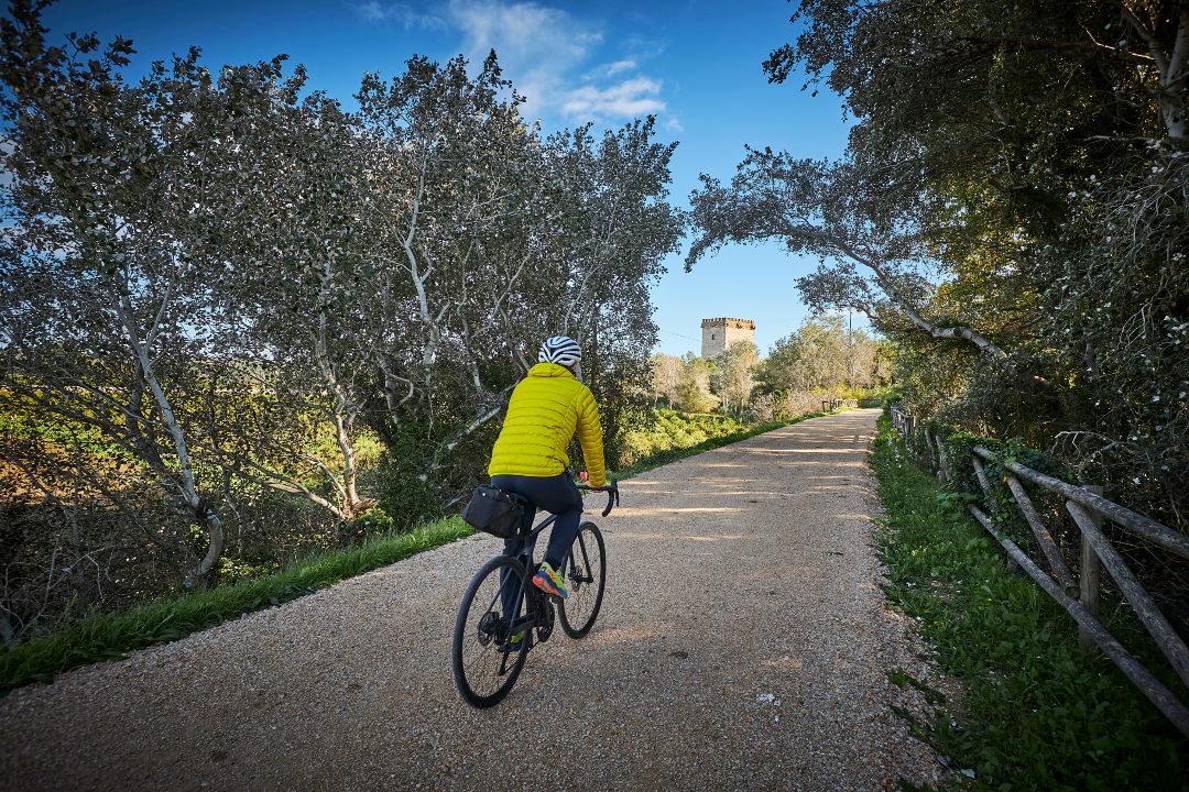
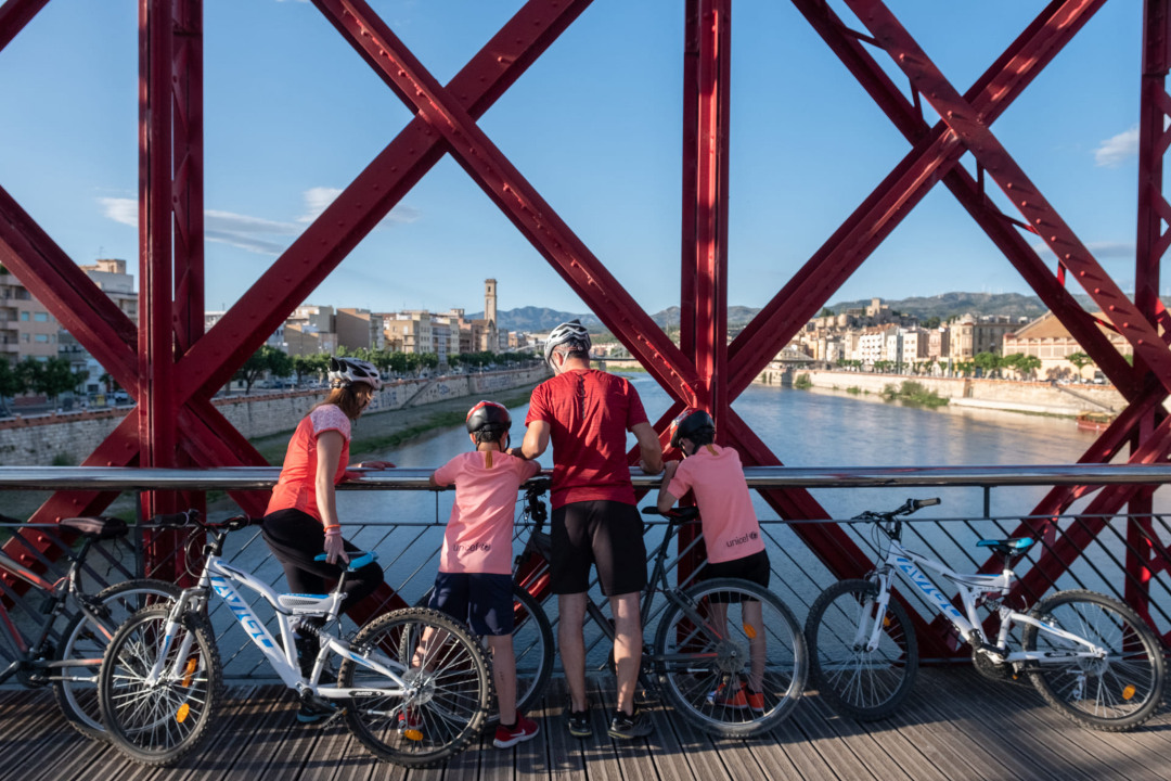
Along the route there are several points of interest, such as the river port at the mouth, the Pont dels Moros or Pont del Rei, the Lo Passador bridge —which connects Deltebre and Sant Jaume d’Enveja—, the l’Embut viewpoint with its naturalized ponds and the large bat nest box, as well as the Casa de Fusta, an emblematic construction from the 1920s overlooking the Encanyissada lagoon.
The stage ends in Poble Nou del Delta, a nucleus created as a colonization village in the mid-20th century, where the pilgrim finds services and accommodations to rest before embarking on the next day. This first stage offers a full immersion in the open landscape, water and biodiversity that define the essence of the Ebro Delta.
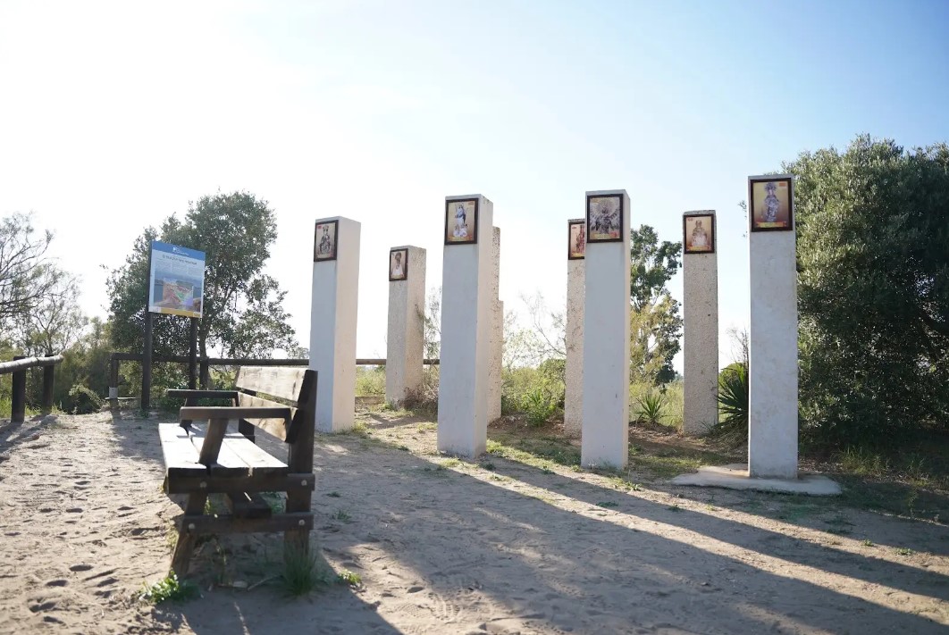
Hill of the Virgins
A 4 m high fluvial dune located on the left bank of the Ebro River where we find a monument with seven columns dedicated to the Marian invocations of the communities through which the Ebro River passes.
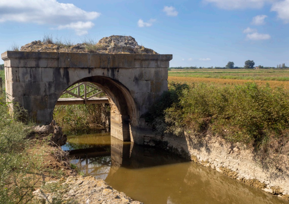
Moors' Bridge
Remains of two semicircular arches made of rough stone, part of a gate or sluice that regulated the water of ancient salt pans near the Ebro River.
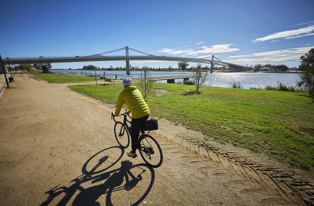
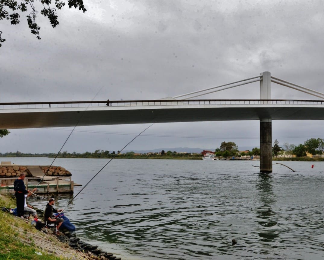
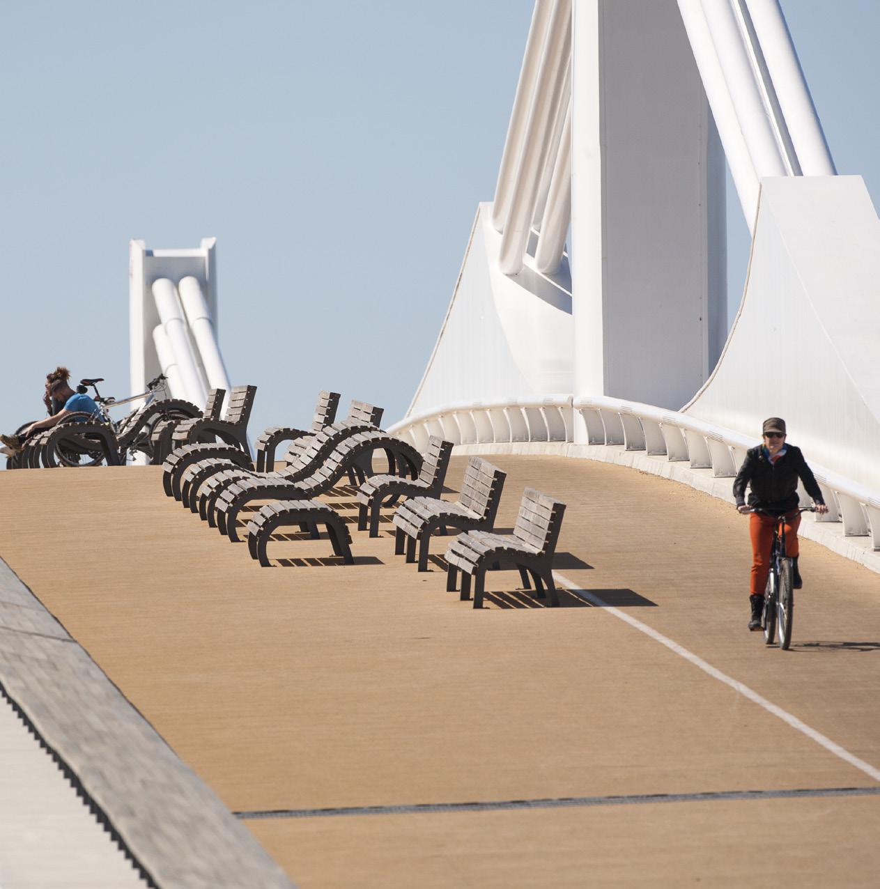
Bridge The Passador
250 meters long and 15 meters high, its design allocates half of the surface area to cyclists and pedestrians. There is also an exhibition on the history of ferries.
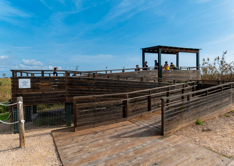
Pont del Través viewpoint
Adapted viewpoint located at the connection between the Clot and the Encanyissada pool.
Tips
- This excursion can be done at any time of the year. We recommend autumn, spring, and sunny winter days. An absolute delight!
- In summer, the heat can be quite intense, so it’s a good idea to do the route early in the day to avoid the strongest sun hours. Remember to bring water, a hat, and sunscreen.
- The itinerary time has been calculated for a leisurely-paced walk. Depending on the stops you make to enjoy the scenery, the route may take considerably longer.
- If you need more information about this or other routes, we’ll be happy to assist you at the Tourist Office.
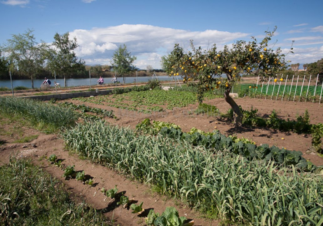
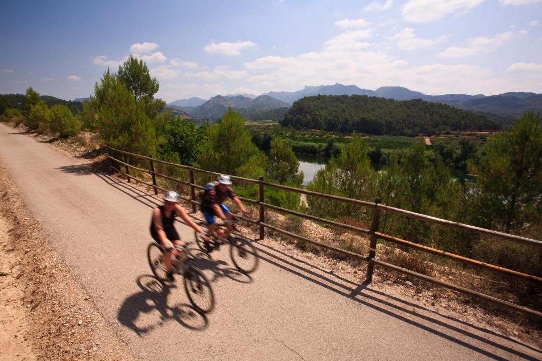
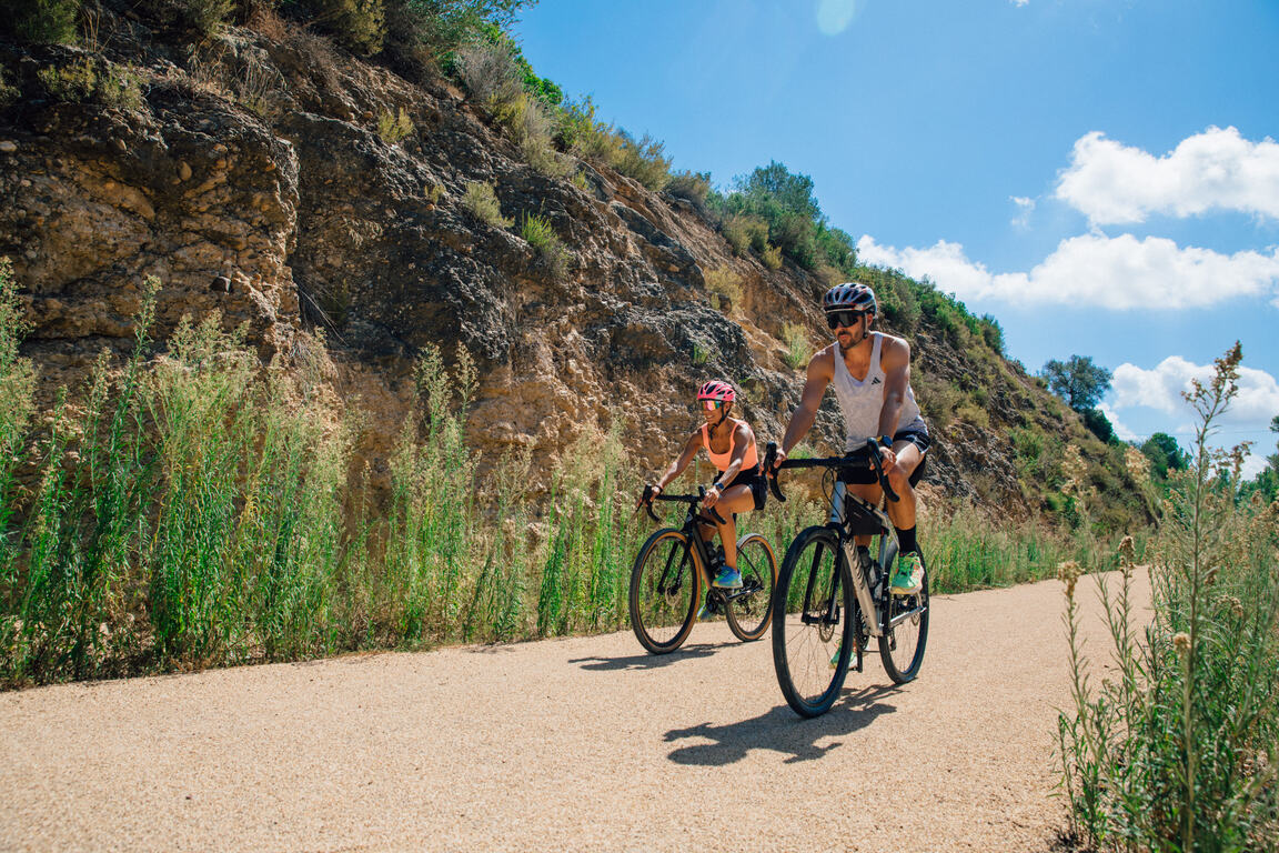
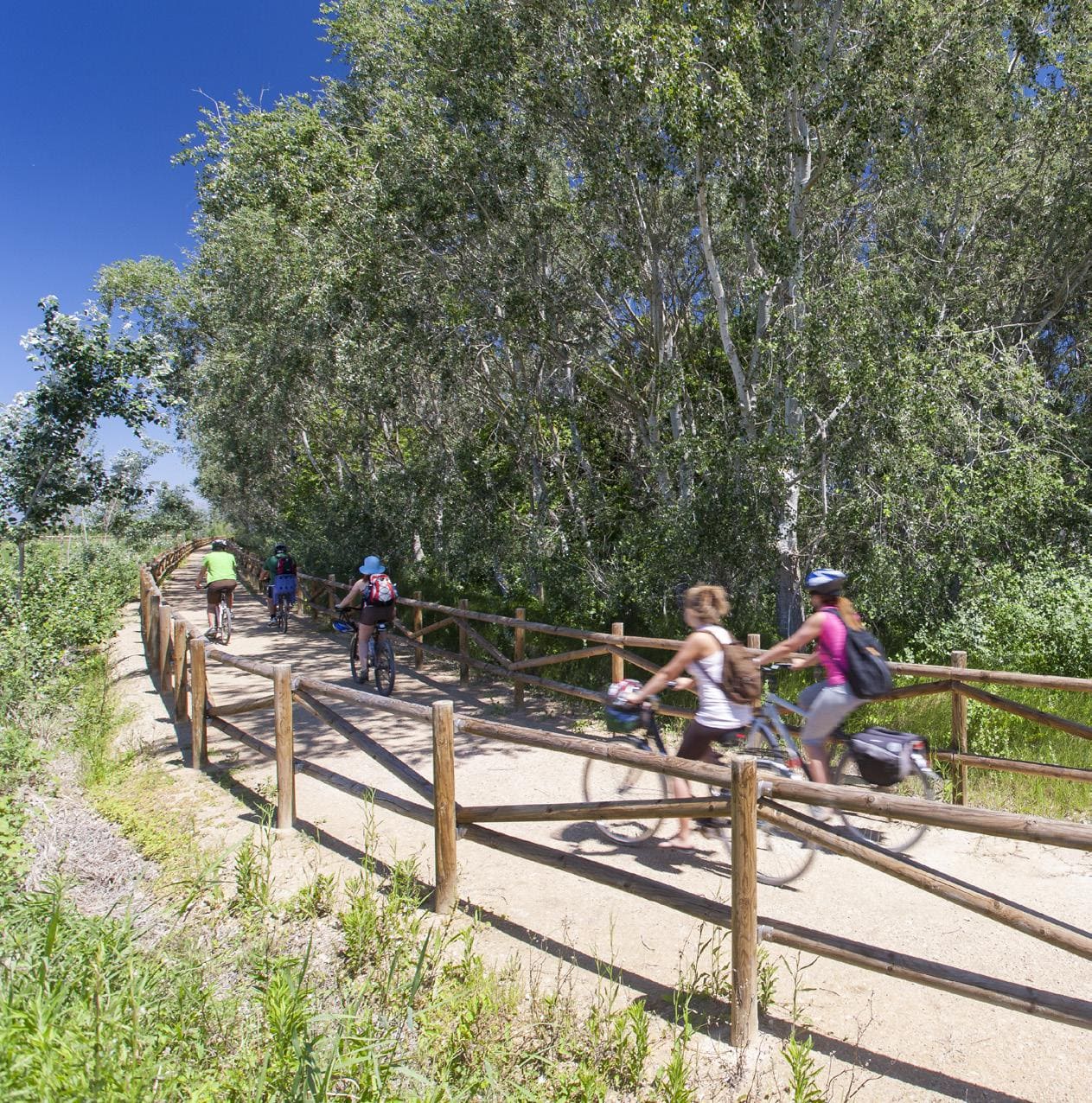
Sant Jaume d’Enveja, situat al cor del Parc Natural del Delta de l’Ebre, és un poble envoltat de camps d’arròs, llacunes i canals que defineixen el paisatge característic del delta. La seva vida tranquil·la i la gastronomia local, basada en l’arròs i els productes del riu, conviden a gaudir del territori amb calma. Els camins plans que travessen els arrossars i connecten amb altres nuclis del delta fan de Sant Jaume d’Enveja un lloc ideal per a rutes ciclistes senzilles, cosa que permet descobrir la natura, la fauna i la serenitat d’aquest entorn únic.
- Since this is a linear route with several options for parking vehicles along the way, you can adjust the itinerary according to your needs and abilities.
- Respect signage and restricted access areas.
- Lighting fires is strictly prohibited.
- Respect the flora, fauna, and environment. Collecting animal or plant species, alive or dead, is not allowed.
- Camping is only permitted in established campsites.
- In protected areas, it is prohibited to have dogs off-leash. Launching or landing drones is also prohibited.
- Do not litter, except in designated disposal areas.
THE ZAFÁN GREENWAY GAME
Explore, learn, and have fun with Antoni and Clara as you travel the routes of the Zafán Valley. Each stop is a new adventure, every challenge a story waiting for you!
Comença a jugar!Along your route, you'll find challenges and activities to earn points, solve clues, or win virtual prizes.
Join our games and become an expert on the Zafán Greenway.
Available games (2)
Observe birds
Find the bird-watching spot along the route, scan the QR code, and answer three questions to earn your badge.
More informationPhotograph shells
Upload a photo to Instagram of the shells you find on the beach using the hashtag #conchasdelFalgar
More information
Weather forecast
Today, Monday, Deltebre

Clear
5 km/h
29ºC max
26ºC min
No rain forecast
Next days forecast

Tuesday
32º max
24º min
Wednesday
29º max
25º min
Thursday
29º max
25º min
Friday
29º max
25º min
Other routes you may like...

La Ràpita - Amposta - L'Aldea - Camarles - L'Ampolla (Porta del Delta)