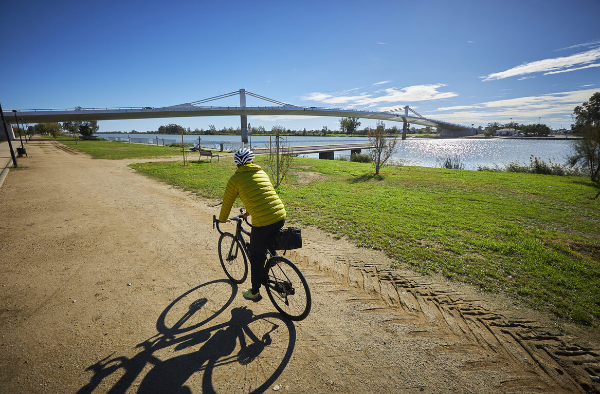
L'Aldea - Camarles - Ampolla
Cycling route through the Ebro Delta Natural Park
Route characteristics
- 24,5 km
- 17 m
- 16 m
- -1 m
With traffic Motorized vehicles are frequent.
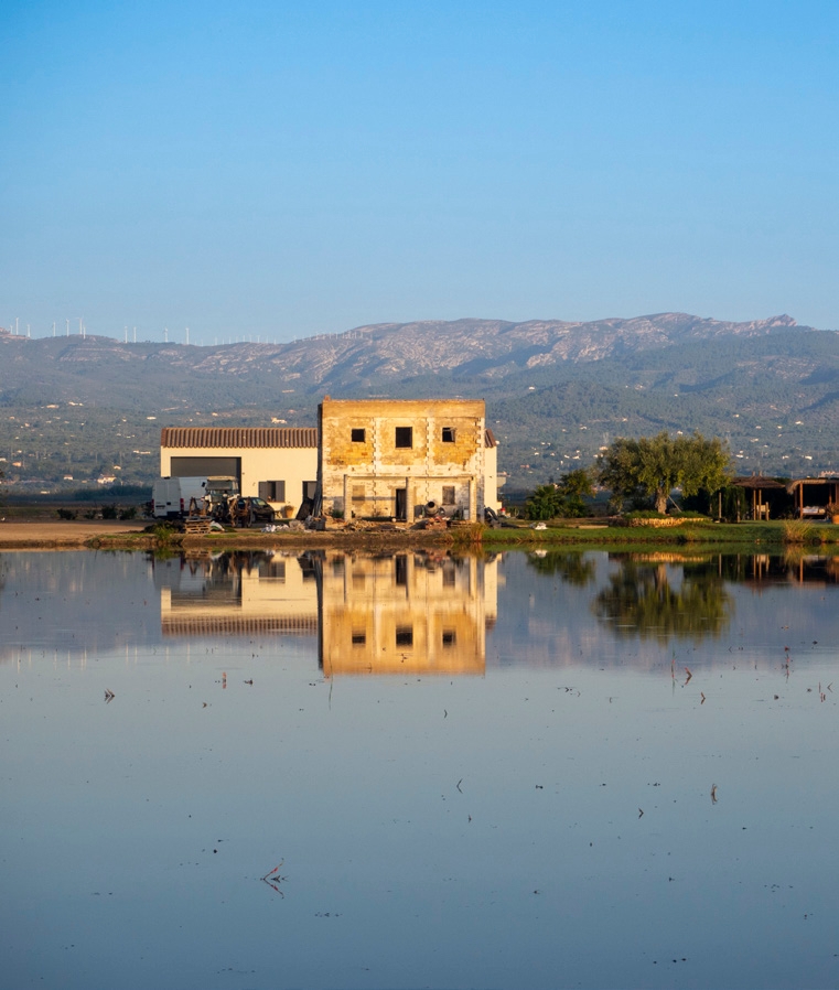
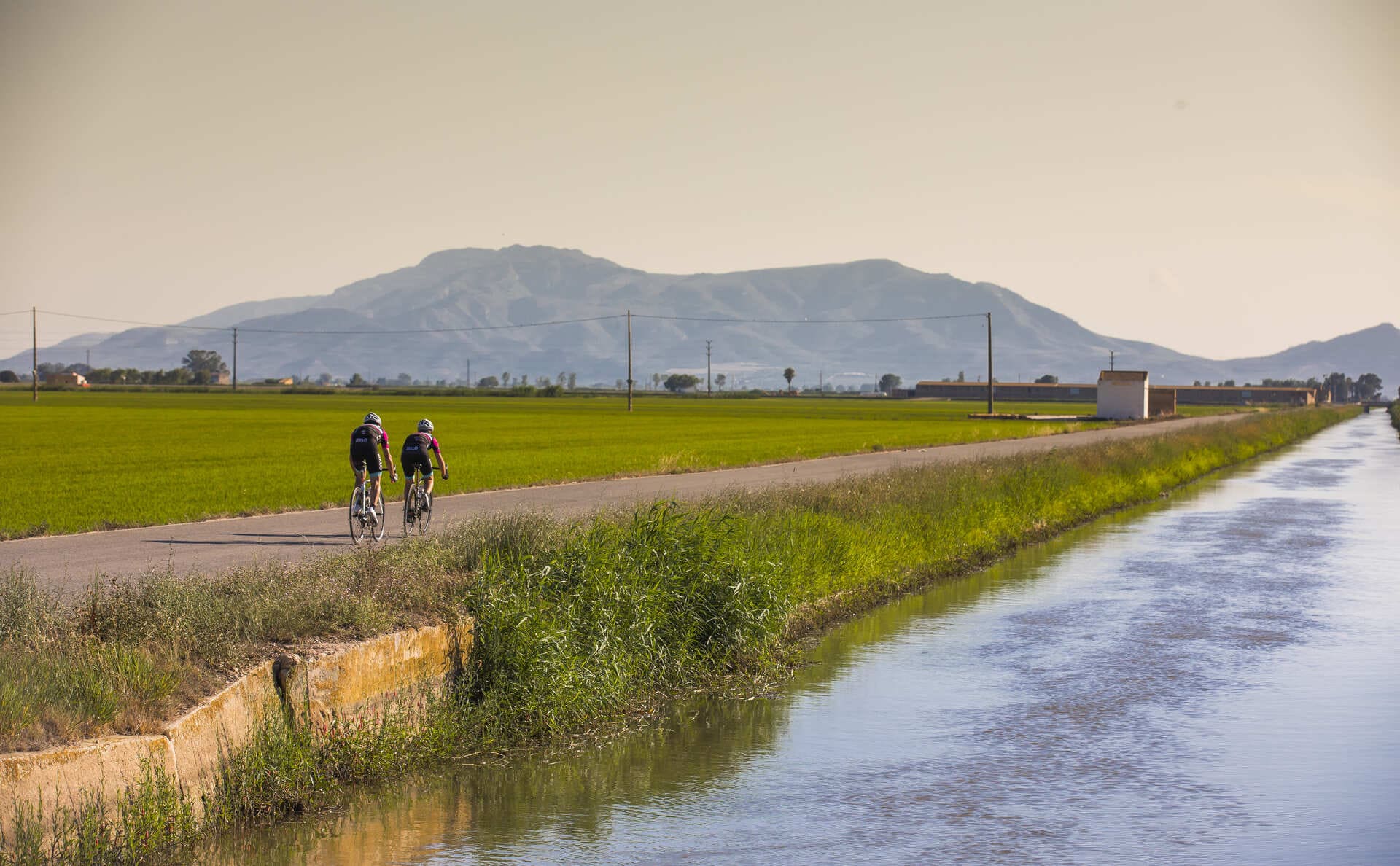
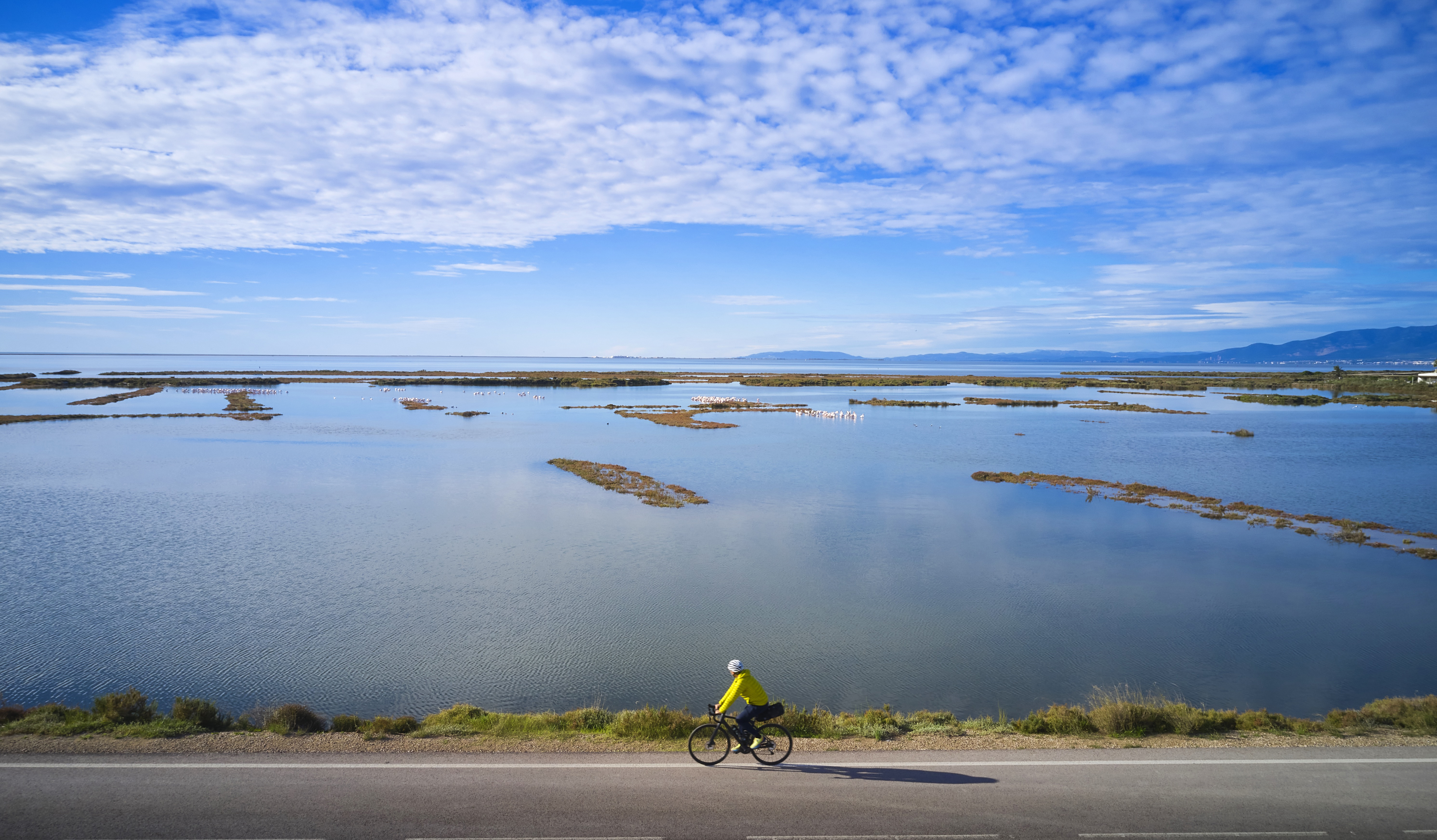
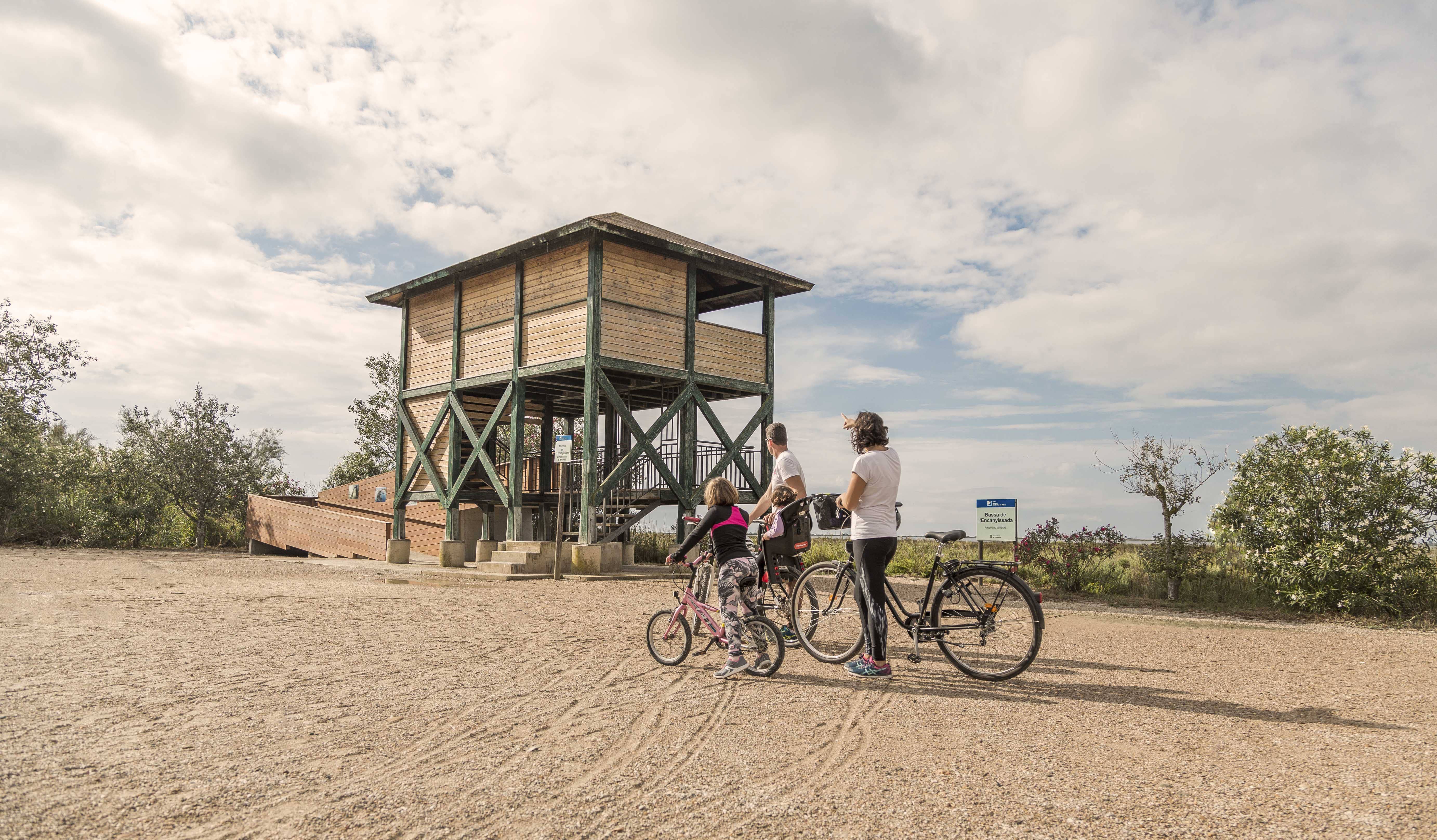
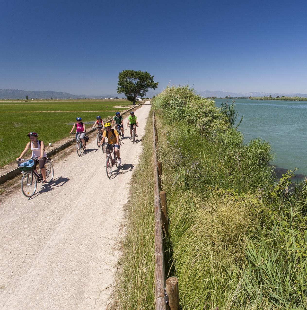
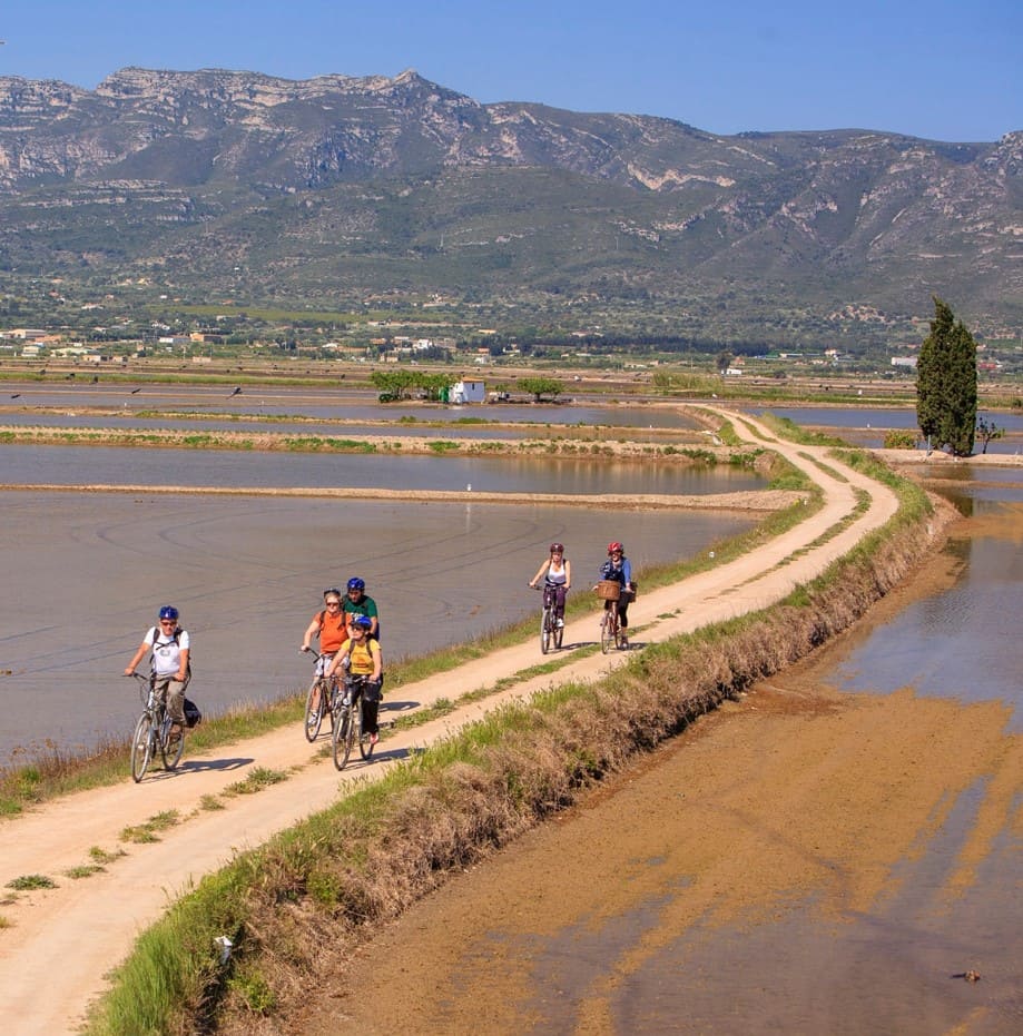
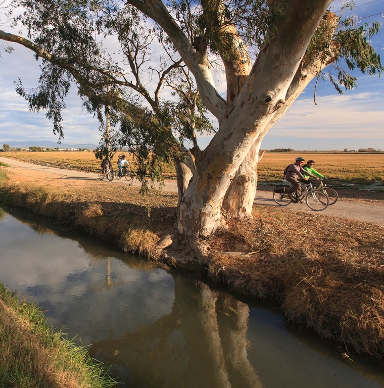
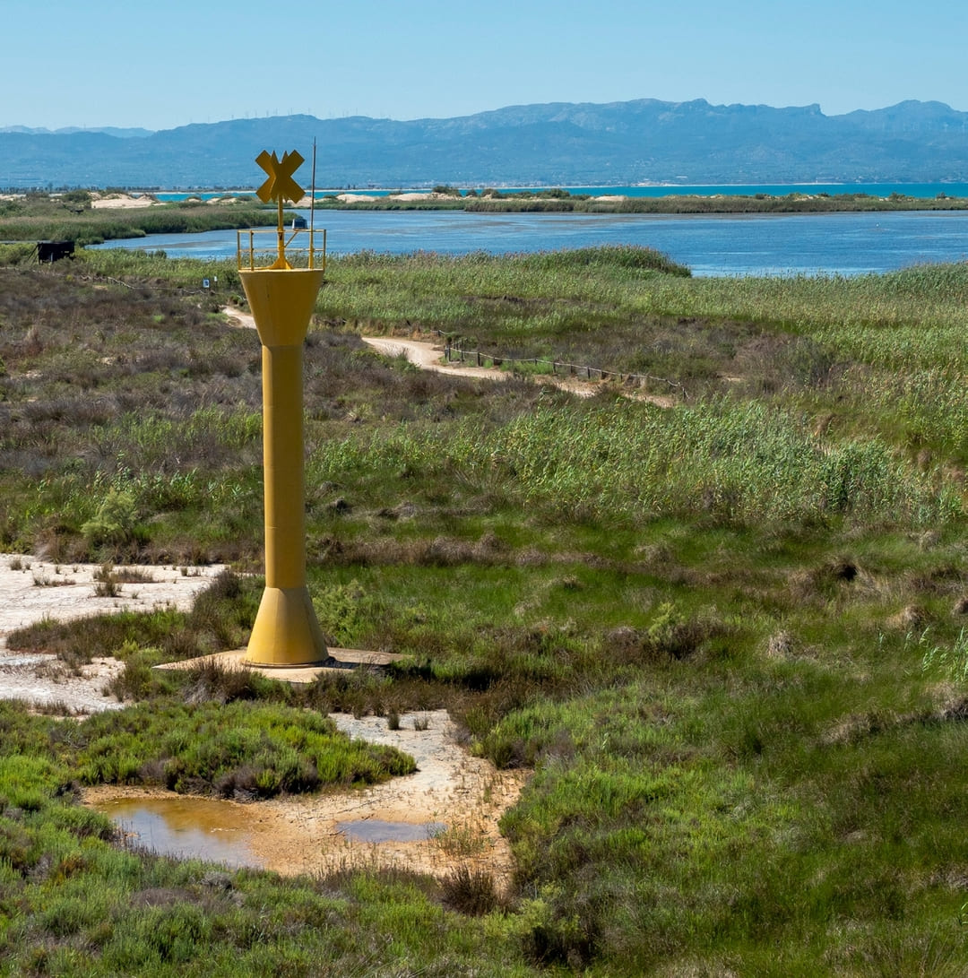
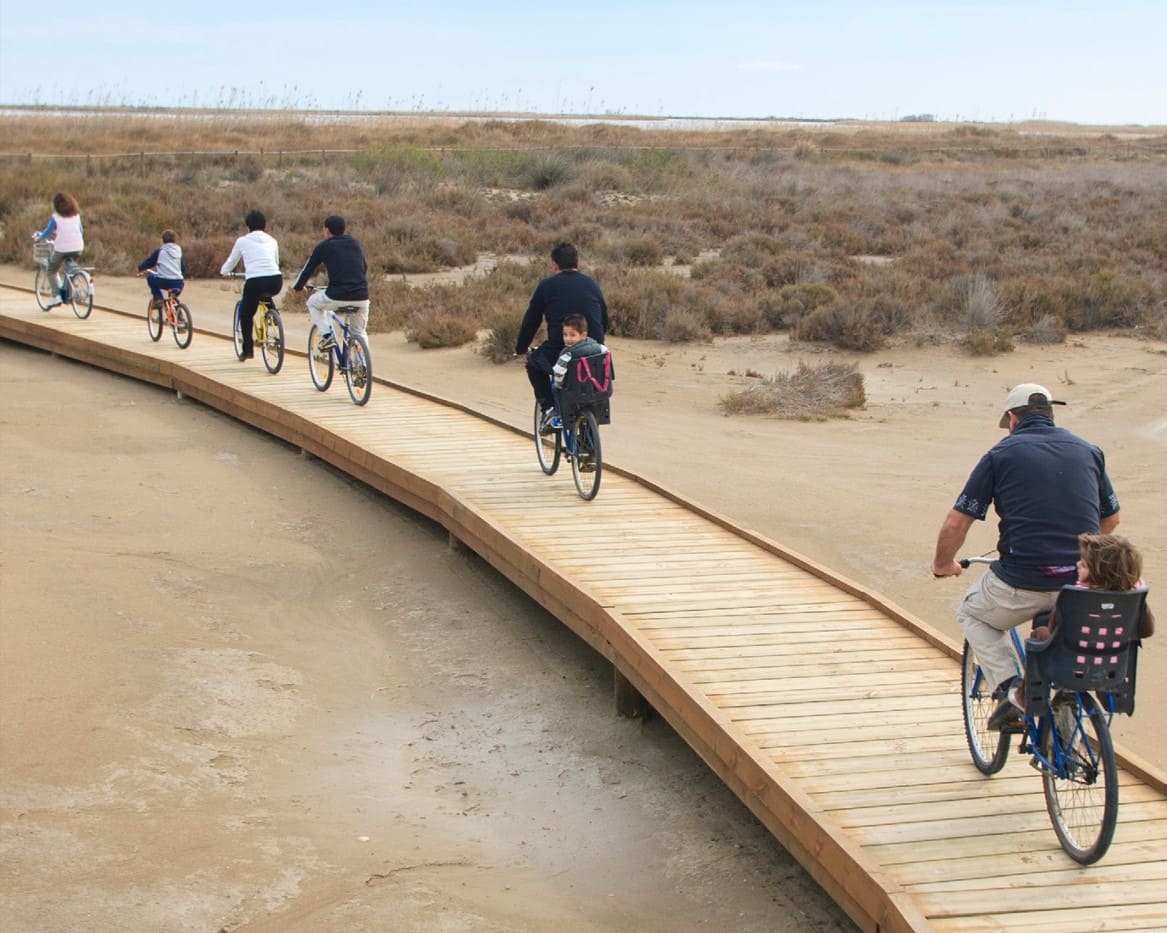
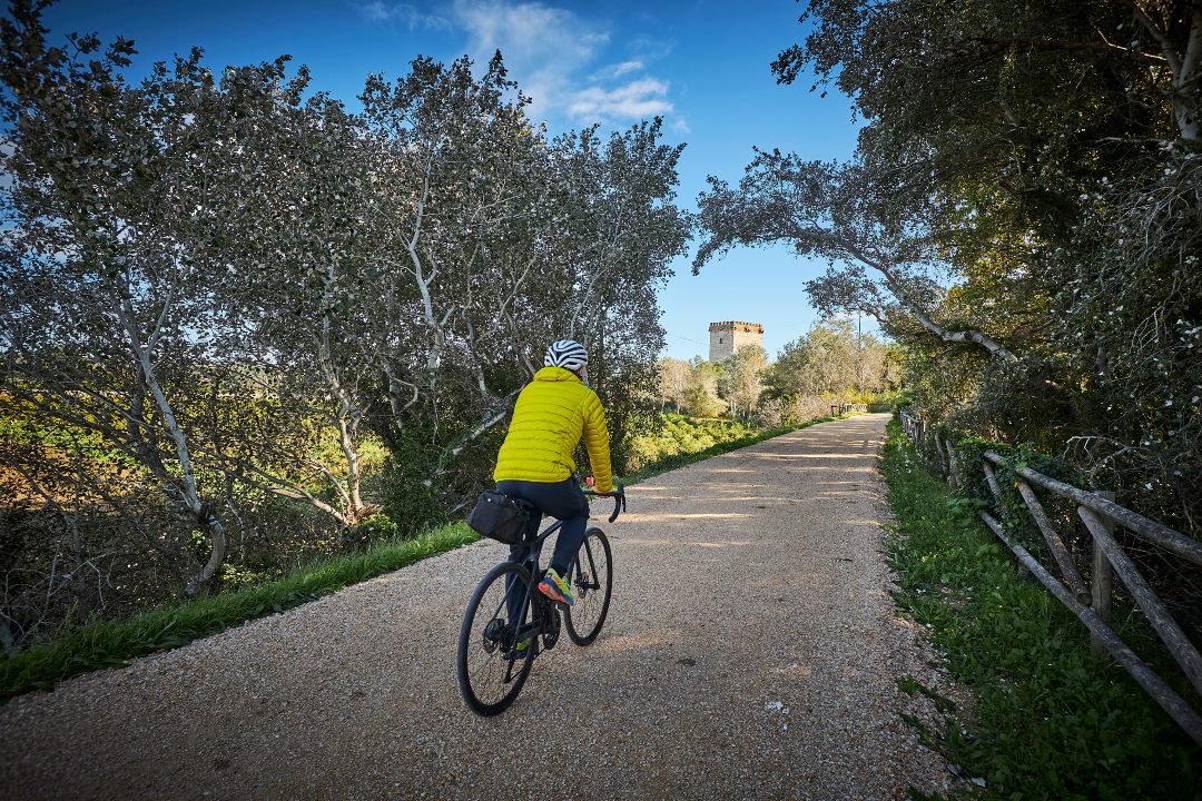
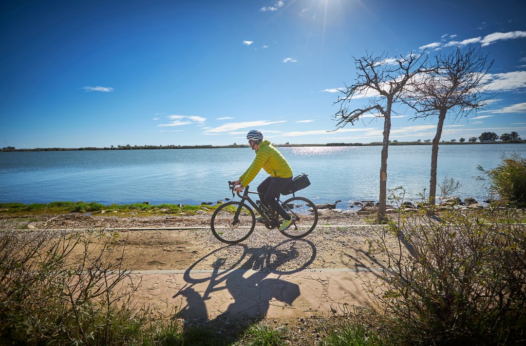
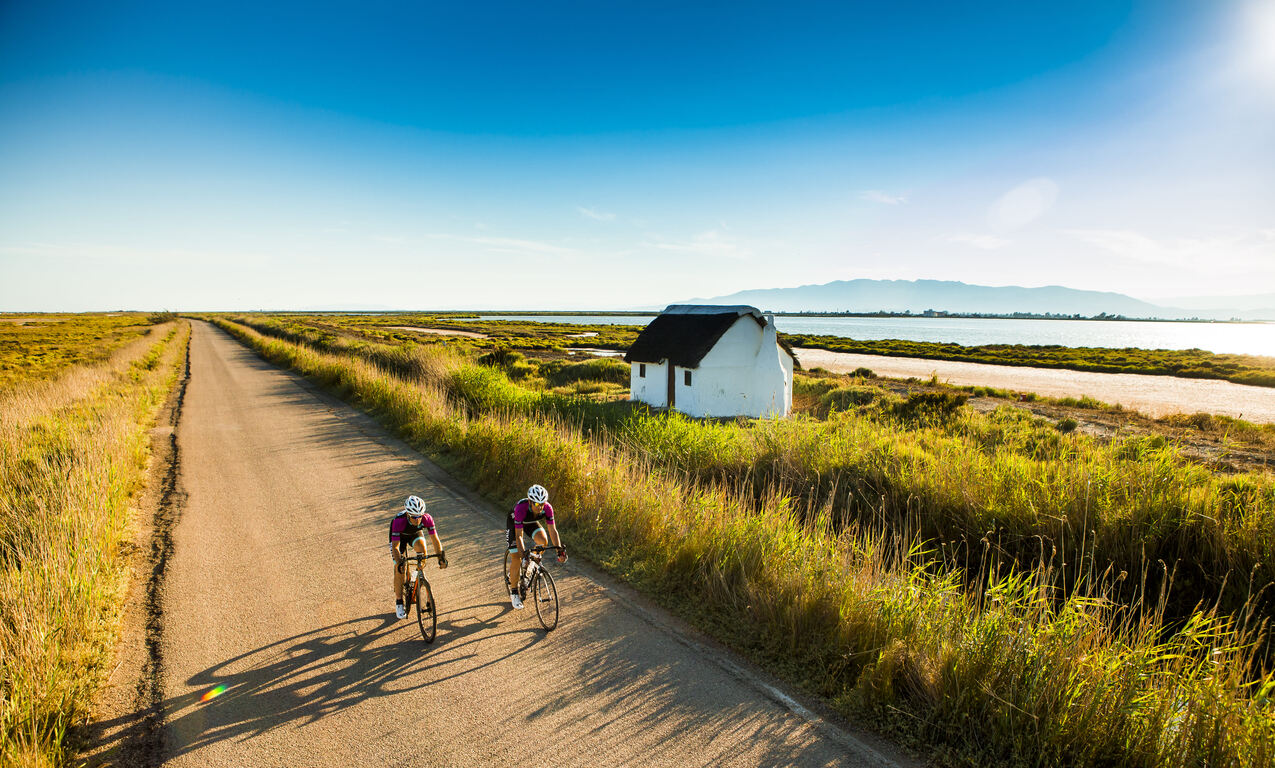
Circular route starting from the hermitage of l’Aldea, passing through the towns located on the northern edge of the Ebro Delta, such as the Lligallo del Gànguil, the Lligallo del Roig, Camarles and l’Ampolla, following the old path of the Via Augusta. Notable features include the horticultural area between l’Aldea and the Lligallos, the Pinets, the watchtowers of Granadella and Camarles, and the Roquer, the old elevated coastline over the Delta. The route reaches Arenal Beach and the Bassa de les Olles, where spectacular wildlife viewpoints can be visited. After the Goleró, the route returns along the Sanitària or Mare canal via a long asphalt track between rice fields and farmhouses. At the hermitage of l’Aldea, visitors can explore the watchtower interpretation center.
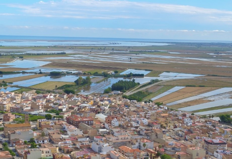
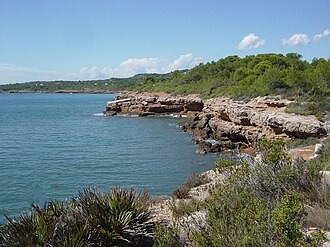
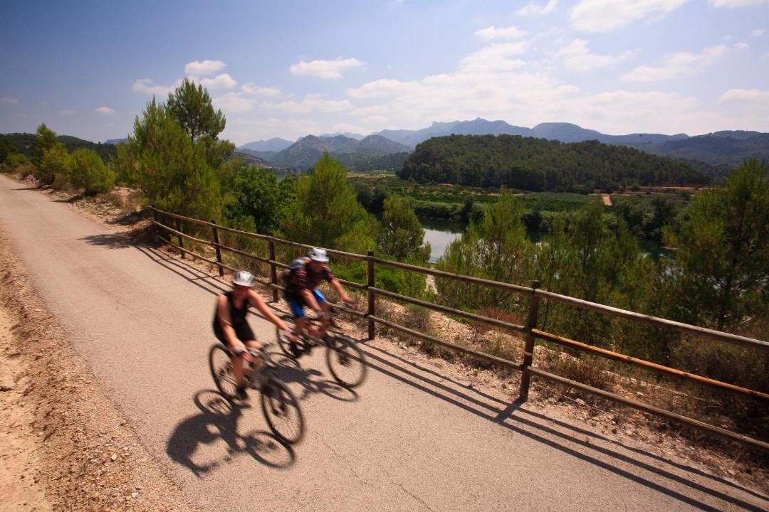
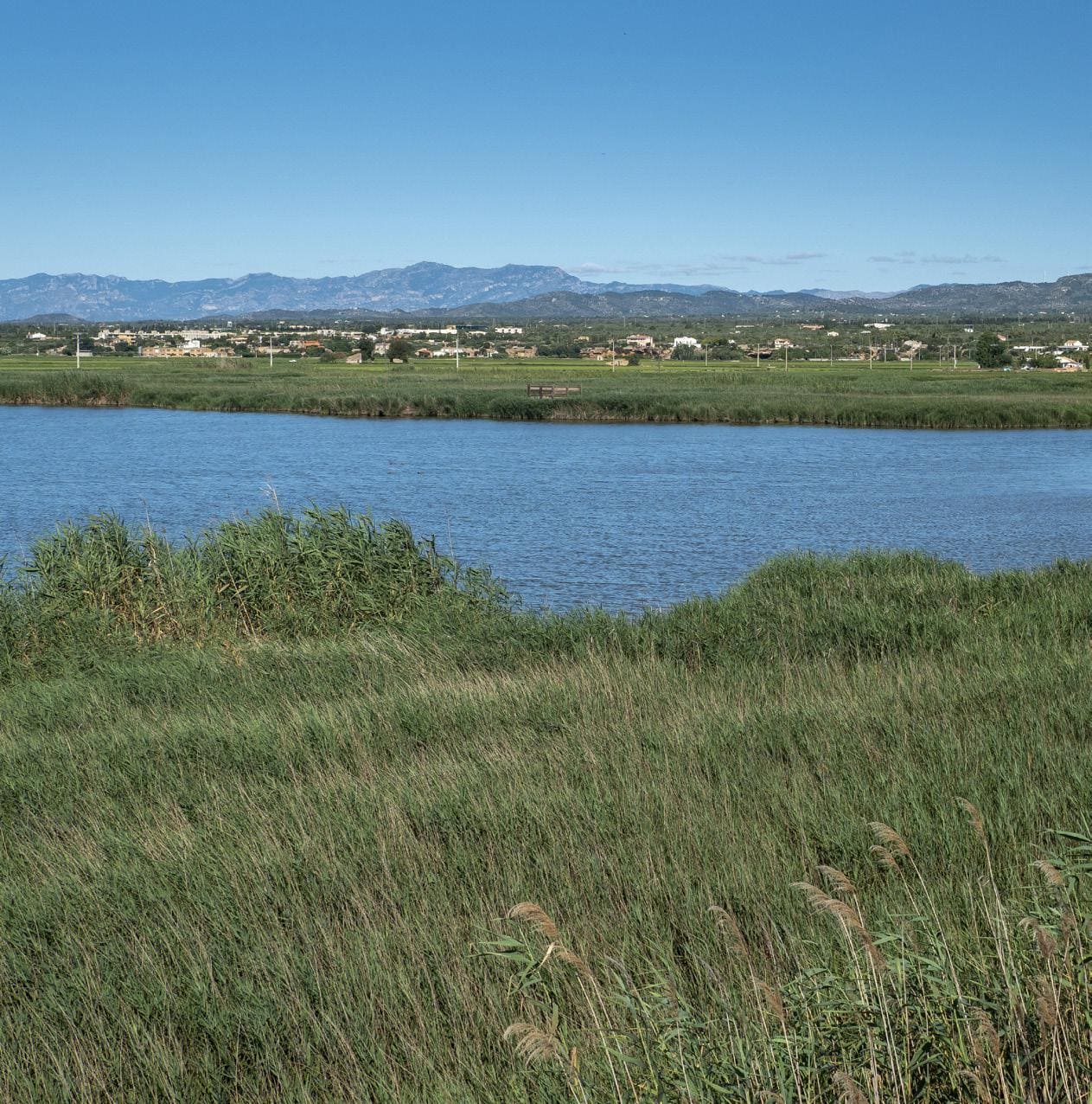
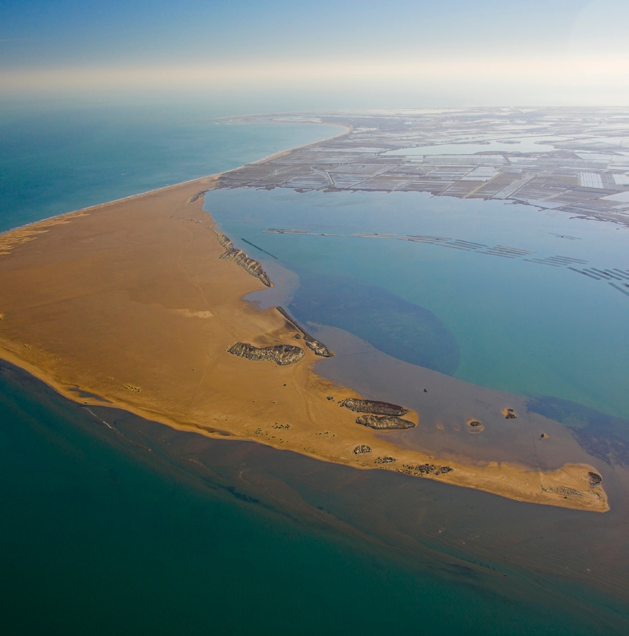
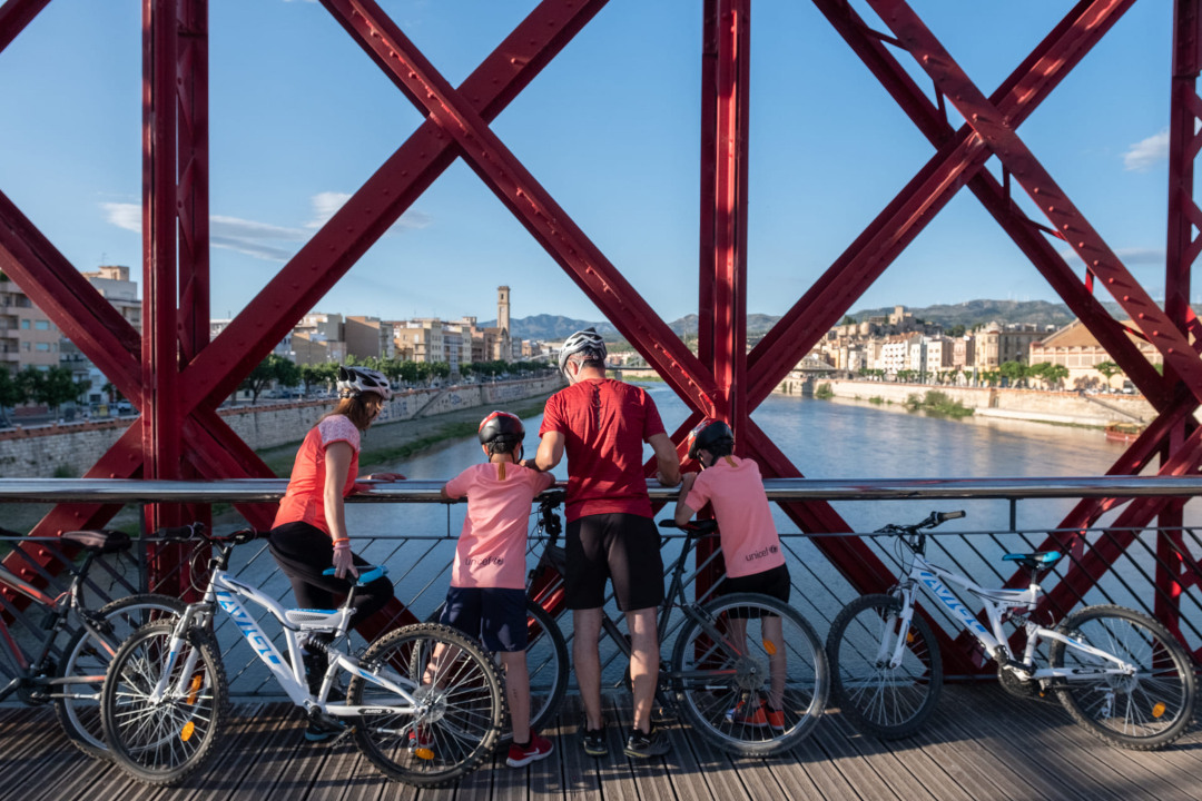
The Ebro Delta is the largest aquatic habitat in Catalonia. The river, the sea, bays, beaches, dunes, marshes, riparian forests, ponds, and lagoons form its natural landscape, which, together with the rice fields and orchards, supports a rich biodiversity. The uniqueness of the Delta is expressed in its physical and natural reality, as well as its distinctive culture, heritage, history, and traditions. The Delta serves as an inspiring example of how we can maintain a balance between sustainability and development to continue enjoying a fair and acceptable way of life.
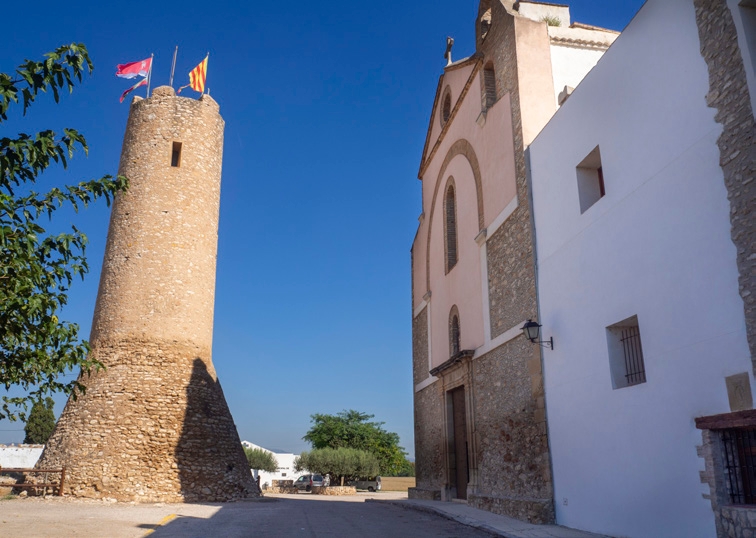
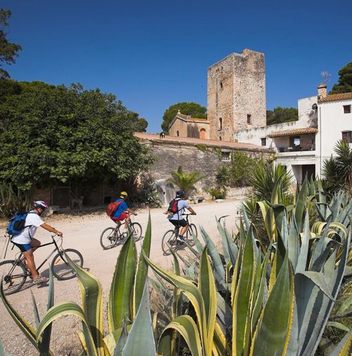
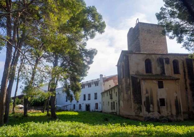
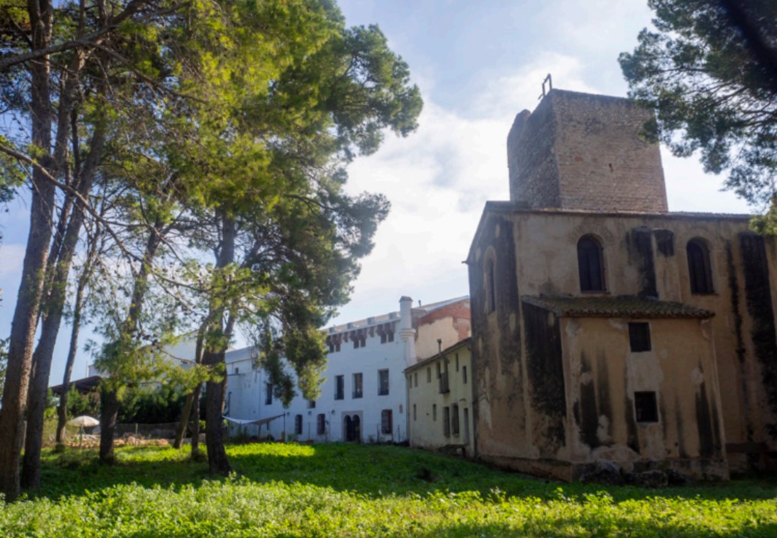
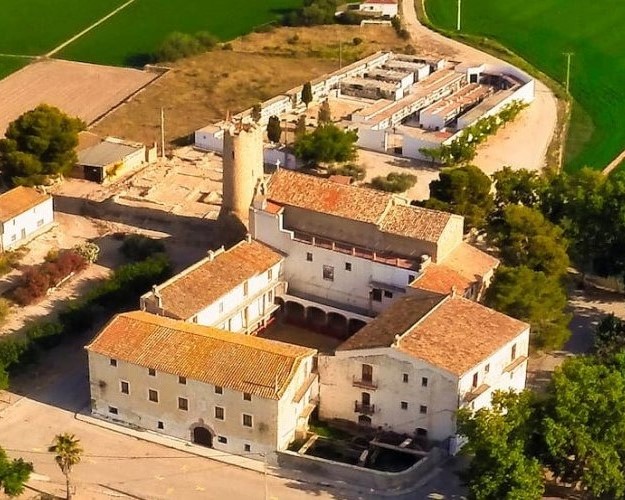
Hermitage of the Village
Heritage complex formed by the church and a 20-meter tower of medieval origin, with the remains of a castle at its foot. The tower houses the watchtowers interpretation center.

Hermitage Walk
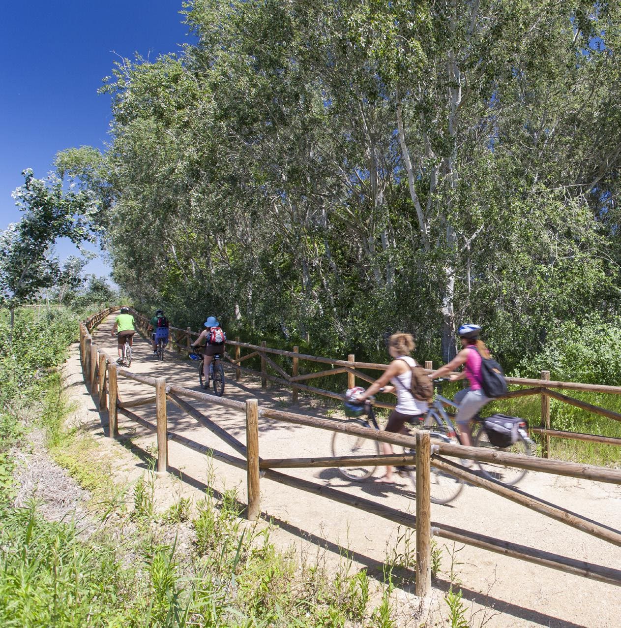
Historic path (now paved) between the village and the hermitage. Like many pilgrimage routes, it is lined with poplars and aspens on both sides to provide shade for walkers.
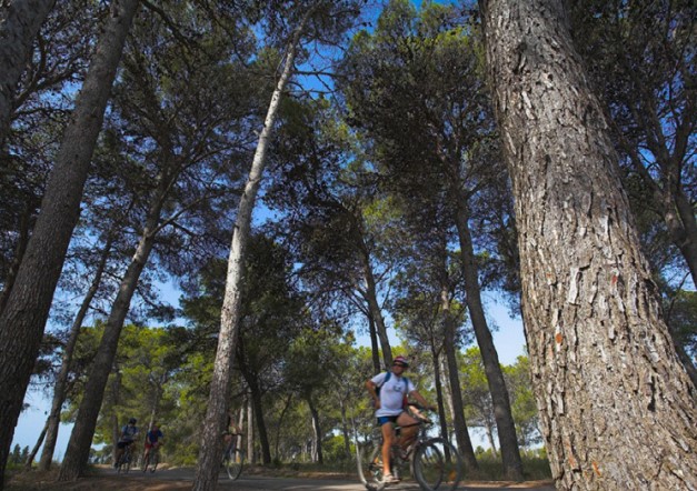
Pine trees of Camarles
At the height of the Torre de la Granadella, passing under the train track, is this small pine forest and recreational area that offers shade to passersby.
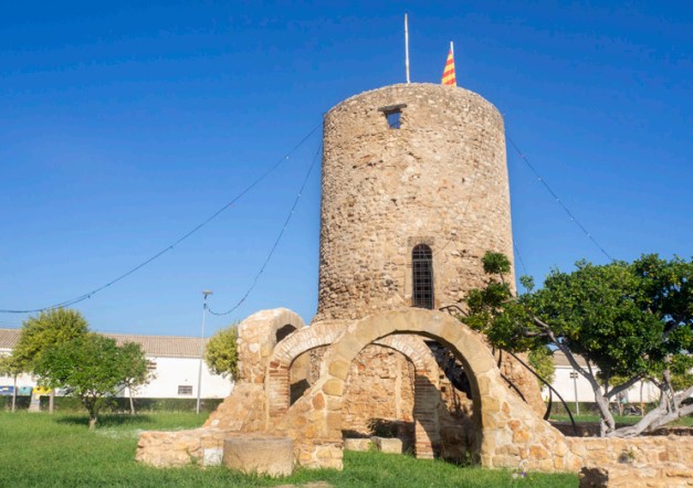
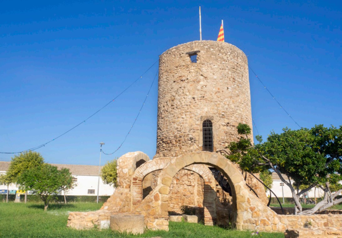
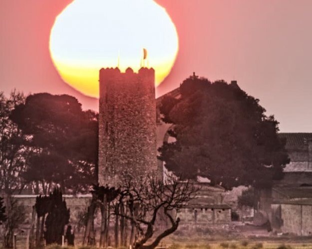
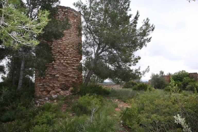
Granadella Tower
Heritage complex originally formed by the 16-meter rectangular medieval watchtower. The annexed chapel was built in the 19th century.
Camarles Tower
Remains of an old medieval castle, built on an old Islamic farmhouse. From the 16th century, Mediterranean piracy turned these towers into lookout points offshore.
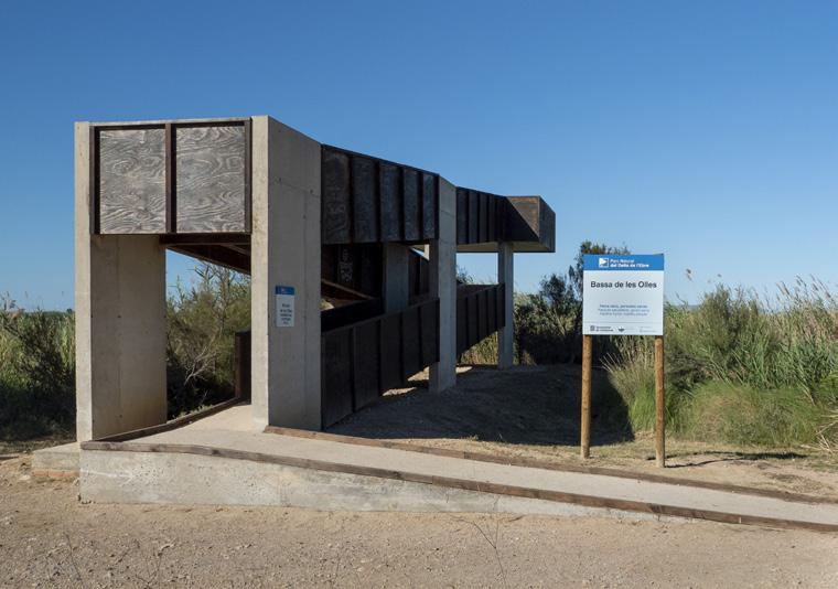
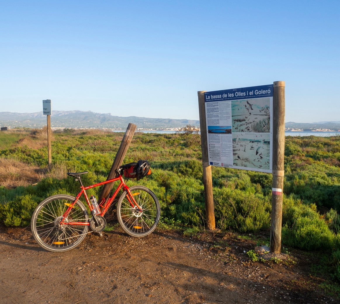
Lookout of the Bassa de les Olles
A viewpoint made of concrete and wood that elevates us a few meters above the Les Olles pond and offers beautiful panoramic views. The maximum capacity of the viewpoint is 10 people.
Camarles, situat al cor del Delta de l’Ebre, és un municipi tranquil envoltat de camps d’arròs i canals que formen un paisatge únic i característic de la zona. Amb una vida local pausada i una gastronomia basada en productes del riu i de l’horta, ofereix un ambient autèntic i proper. Els camins plans que travessen els arrossars i connecten amb pobles veïns fan de Camarles un lloc ideal per a rutes ciclistes tranquil·les, cosa que permet gaudir de la natura, la fauna i l’essència del delta sense grans dificultats.
L’Aldea, situada al costat del riu Ebre, és un municipi amb un ambient tranquil i un entorn natural ric, envoltat de camps d’arròs i zones humides pròpies del Delta. La seva gastronomia, basada en l’arròs i el peix fresc, acompanya una vida local pausada i autèntica. Els camins plans i tranquils que envolten L’Aldea ofereixen rutes ideals per a ciclistes de tots els nivells, que permet descobrir el paisatge deltaic, la fauna i la tranquil·litat de la zona mentre es recorre el territori en bicicleta.
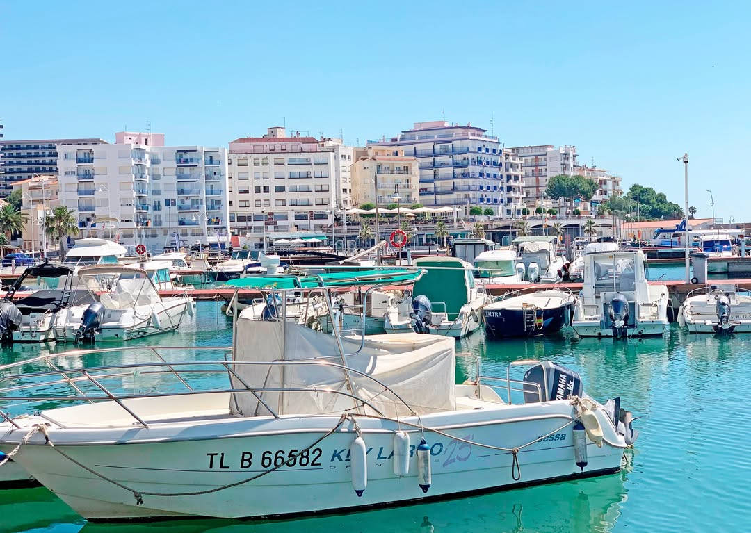
L’Ampolla, situat a la costa del Montsià, és un encantador poble mariner conegut per les seves platges i per ser la porta d’entrada al Parc Natural del Delta de l’Ebre. El poble conserva l’essència de la vida pesquera i ofereix una gastronomia centrada en el peix i el marisc fresc, amb mercats i restaurants que mostren la tradició local. Els voltants de L’Ampolla són ideals per descobrir en bicicleta, amb rutes planeres que recorren la costa, els arrossars i els camins del delta, i això permet gaudir del paisatge, la fauna i la tranquil·litat del territori.
THE ZAFÁN GREENWAY GAME
Explore, learn, and have fun with Antoni and Clara as you travel the routes of the Zafán Valley. Each stop is a new adventure, every challenge a story waiting for you!
Comença a jugar!Along your route, you'll find challenges and activities to earn points, solve clues, or win virtual prizes.
Join our games and become an expert on the Zafán Greenway.
Available games (2)
Observe birds
Find the bird-watching spot along the route, scan the QR code, and answer three questions to earn your badge.
More informationPhotograph shells
Upload a photo to Instagram of the shells you find on the beach using the hashtag #conchasdelFalgar
More information
Weather forecast
Today, Sunday, Amposta

Clouds
22 km/h
31ºC max
23ºC min
No rain forecast
Next days forecast

Monday
30º max
21º min
Tuesday
32º max
21º min
Wednesday
32º max
22º min
Thursday
32º max
22º min
Other routes you may like...
La Ràpita - Amposta - L'Aldea - Camarles - L'Ampolla (Porta del Delta)