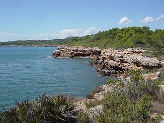
Pots Pond
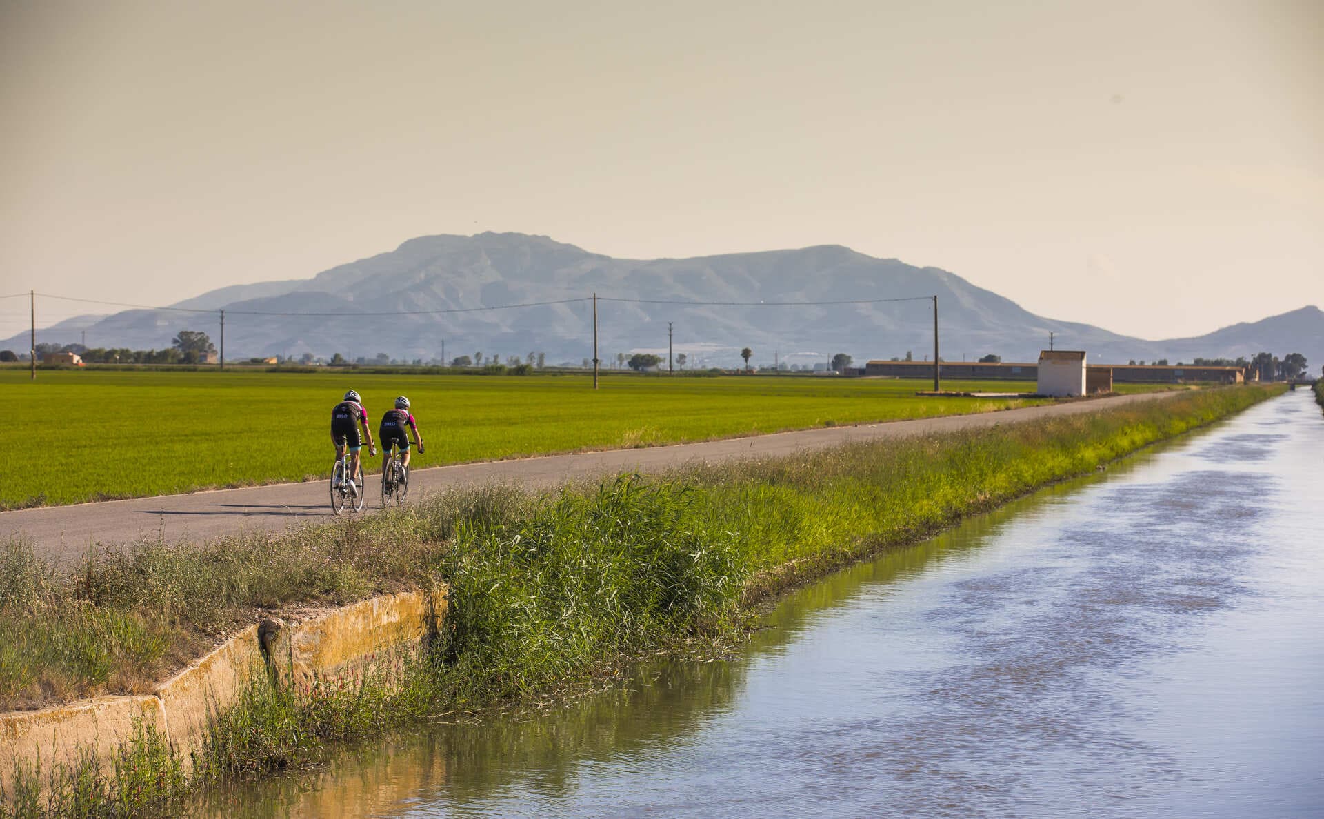
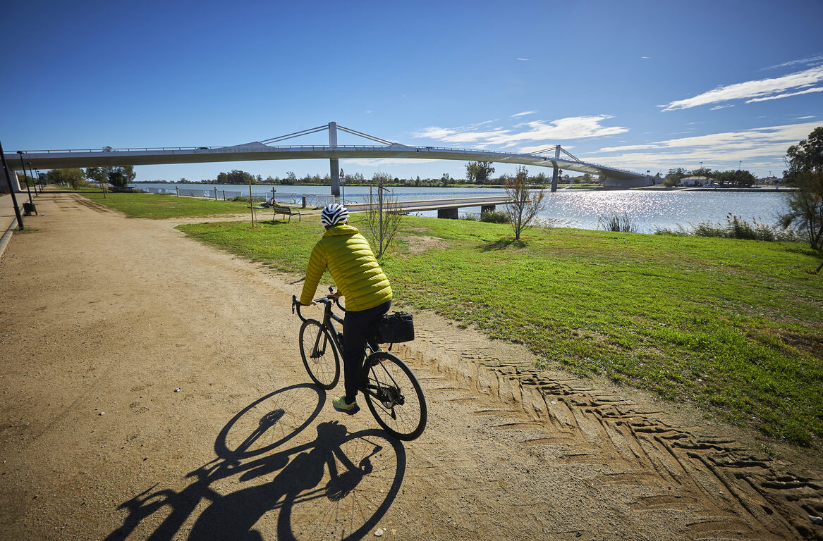
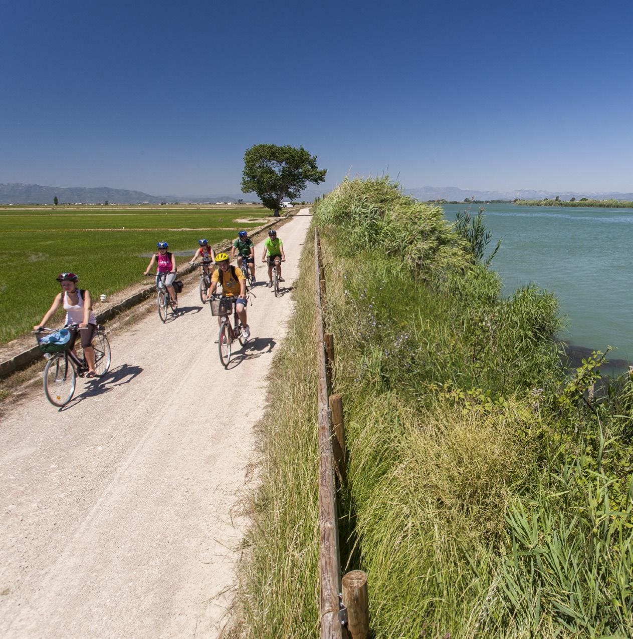
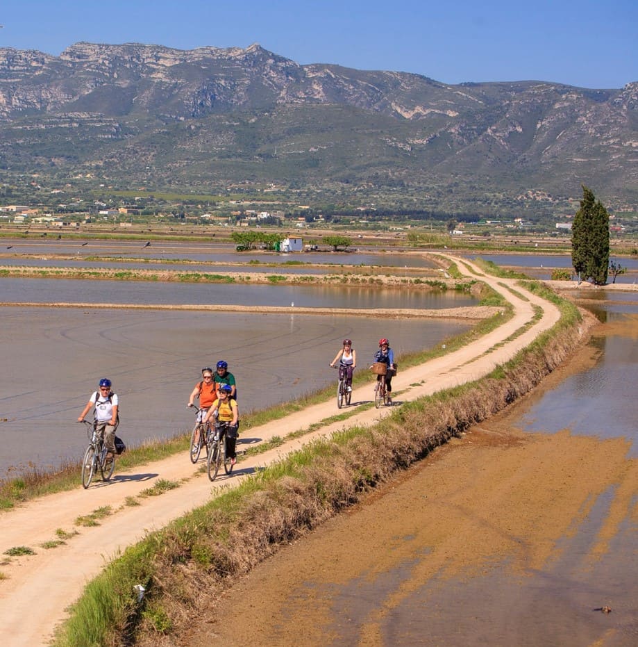
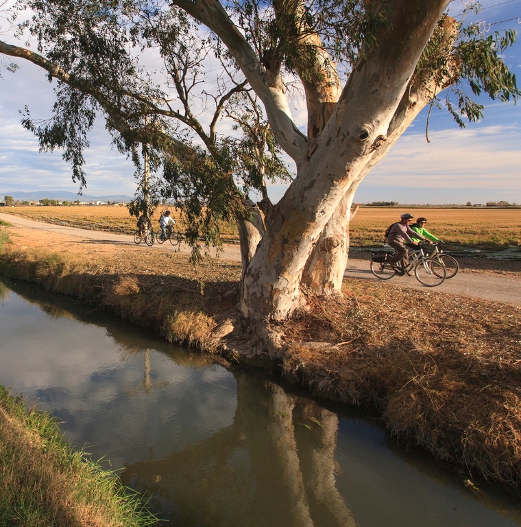
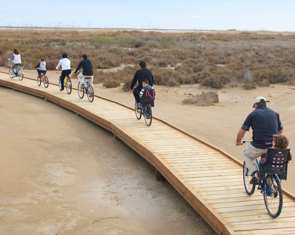
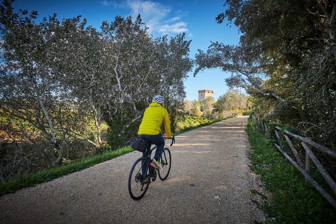
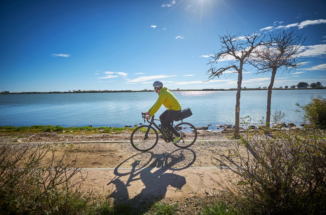
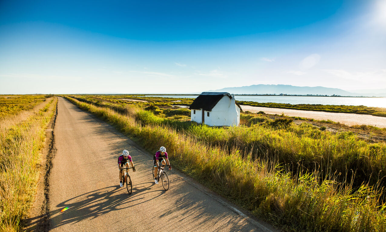
Cycling route through the Ebro Delta Natural Park
Route characteristics
- 3,3 km
- -1 m
![]() No traffic No motorized vehicles allowed.
No traffic No motorized vehicles allowed.
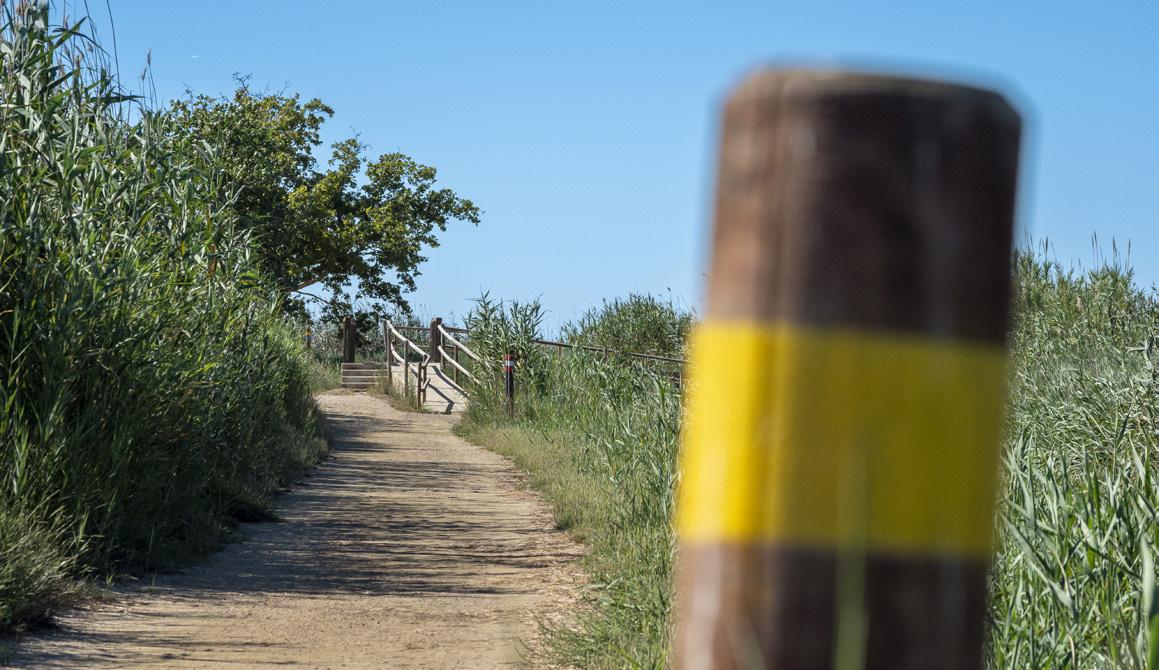
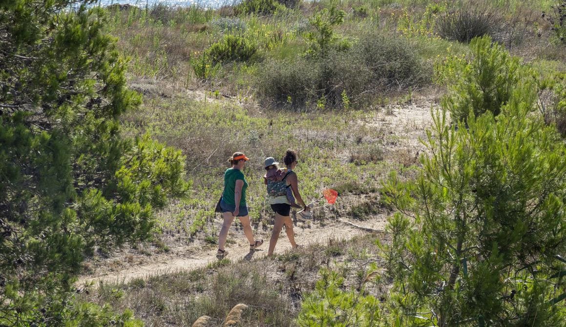
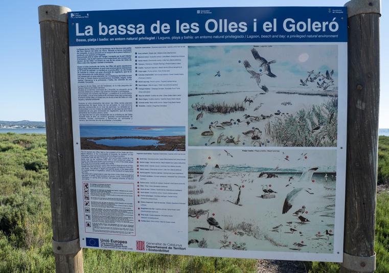
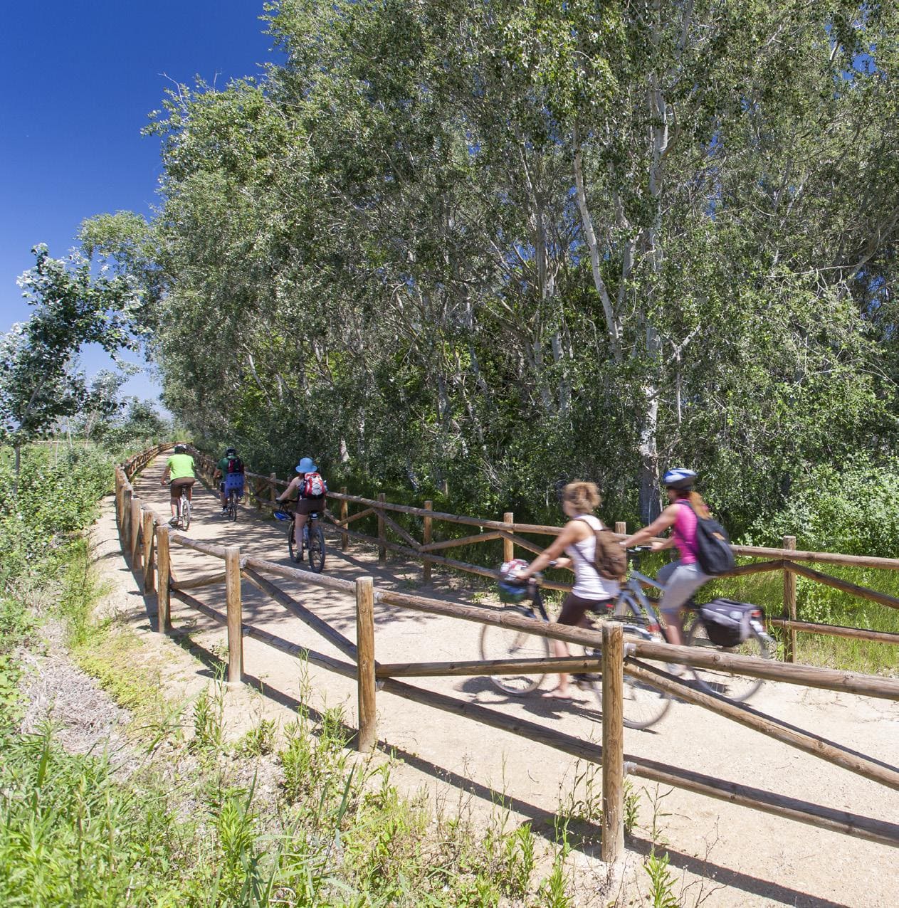
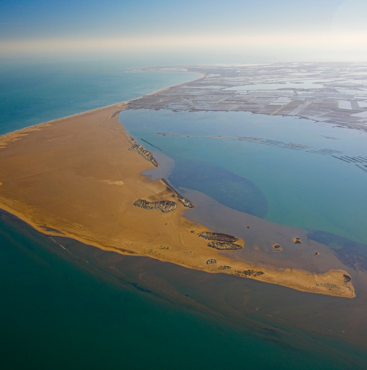
Easy route that from the information point located on Arenal beach, in l’Ampolla, discovers the Bassa de les Olles. The itinerary is circular and visits the various fauna viewpoints distributed along the route. The Bassa de les Olles is the smallest lagoon - with approximately 54 ha - in the Ebro Delta. Its area begins on Arenal beach in l’Ampolla and extends to Goleró, connecting with the Fangar Bay, between fields and dunes. It is a refuge for an important population of water birds, such as flamingos, mallards, white terns, corncrakes and sandpipers. It was formed by the abandonment of one of the oldest mouths of the Ebro. If you want to get to know and enjoy the nature and landscapes of the Delta slowly by taking a short route, this proposal is ideal.
Service area of the Pond of the Pots
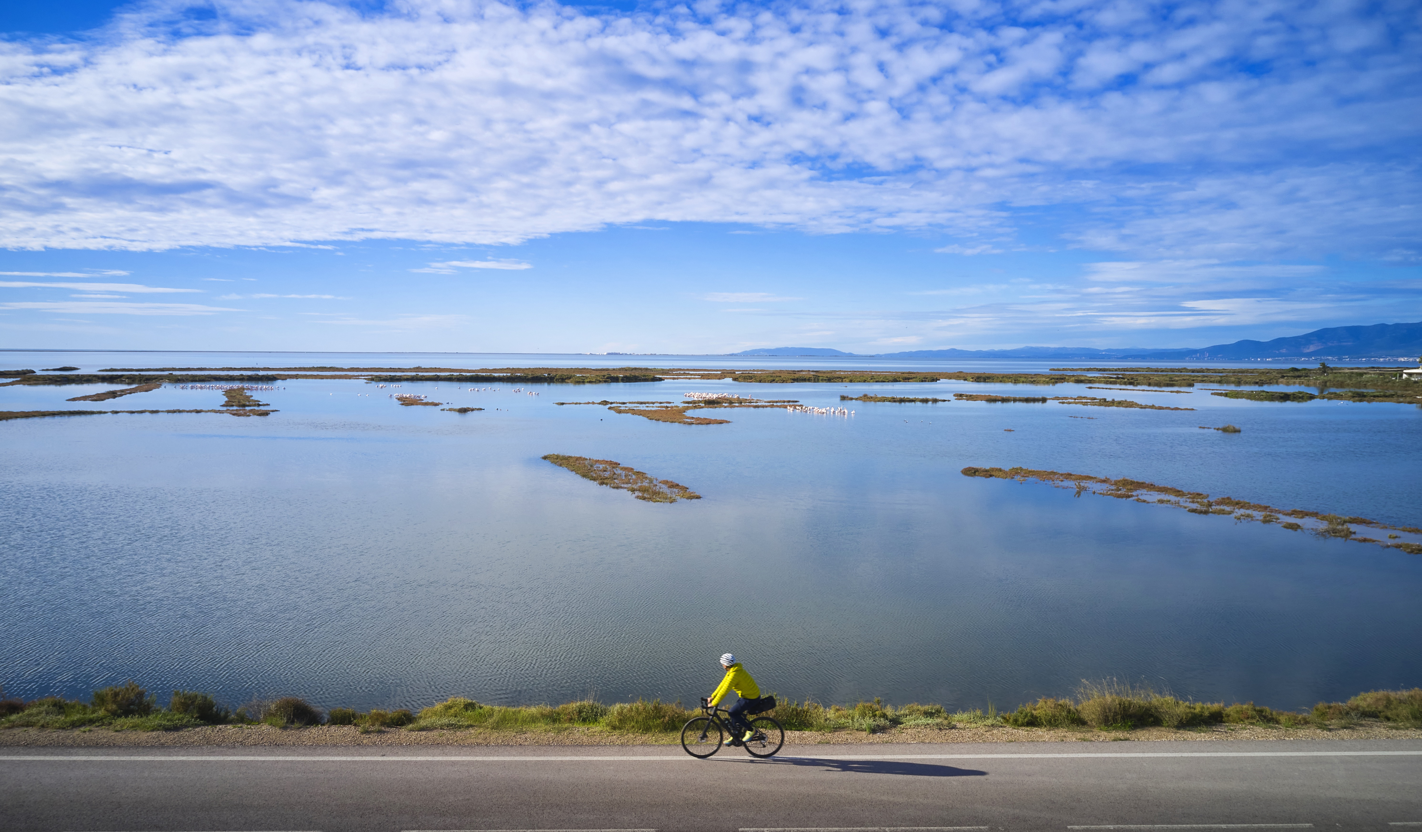
The itinerary allows you to discover the Les Olles pond, the Fangar bay and the Goleró.
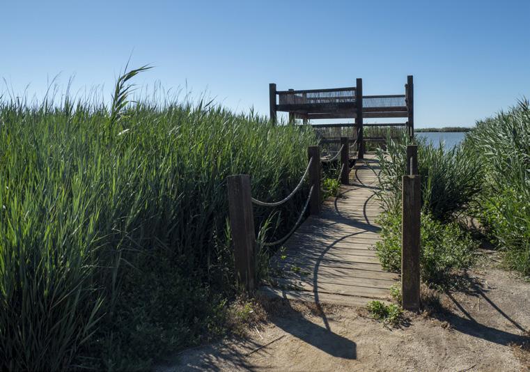
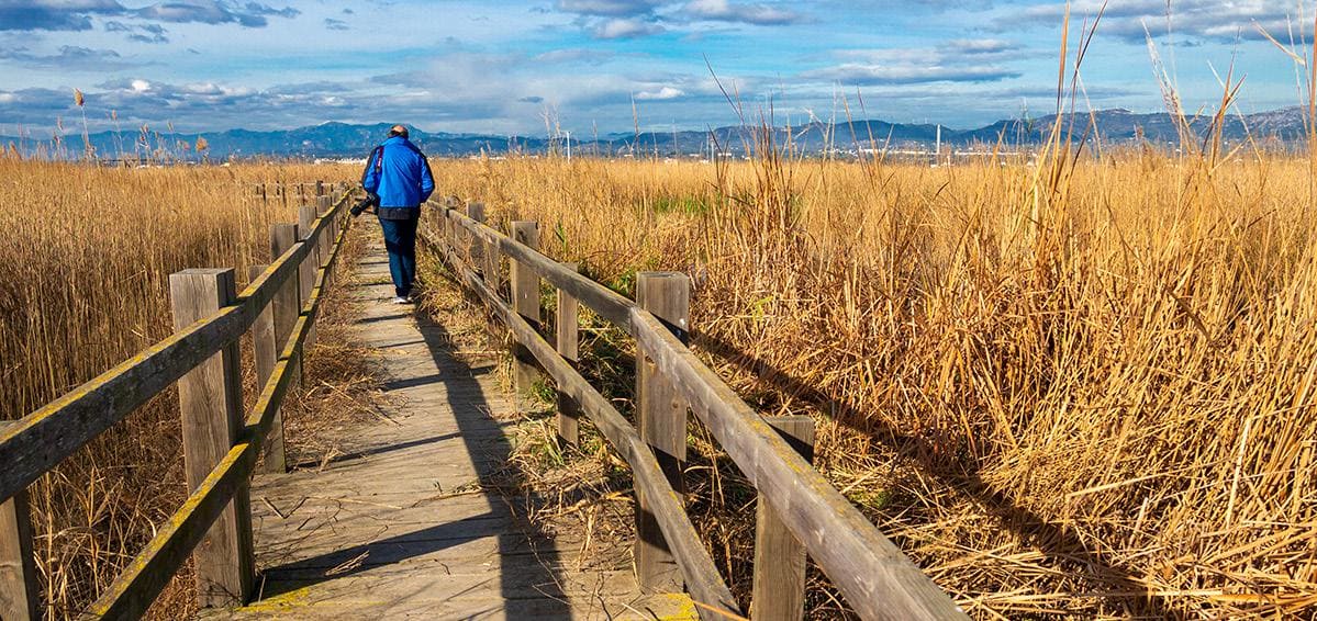
North viewpoint
A viewpoint made of wood and reeds from which you can observe the characteristic fauna of Les Olles. It is highly recommended to bring good binoculars.
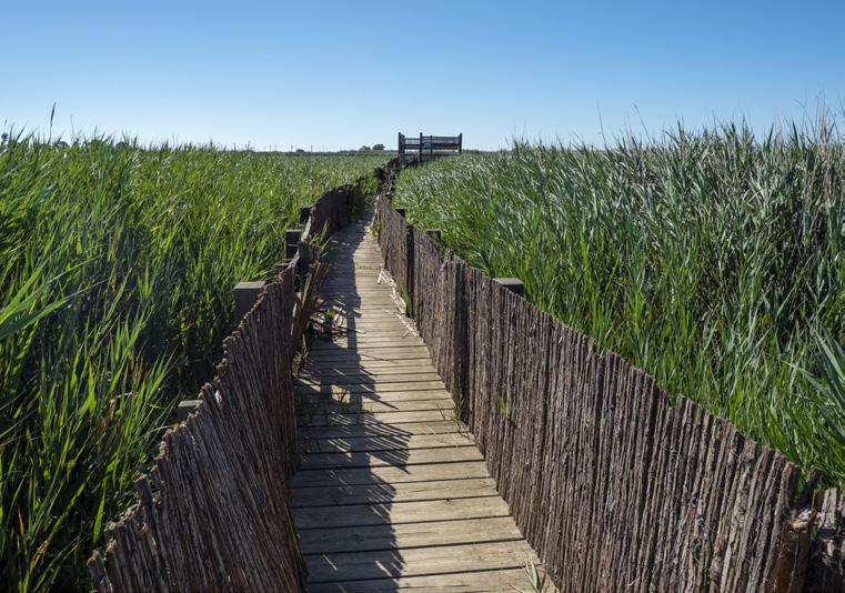
Central viewpoint
Wildlife observation viewpoint which we access through a wooden walkway from the path that goes around the Les Olles pond.
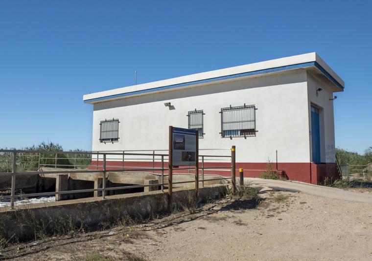
Les Olles Pumping Station
Station that was built in 1981 with the purpose of evacuating water from 3000 hectares of rice fields as well as rainwater and ravines that flow into the Delta located in Aldea and Camarles.
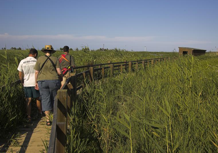
South viewpoint
Wildlife observation viewpoint located in the southern part. We access this viewpoint from the Les Olles pumping station. The lookout is made of wood and has several benches and information panels.
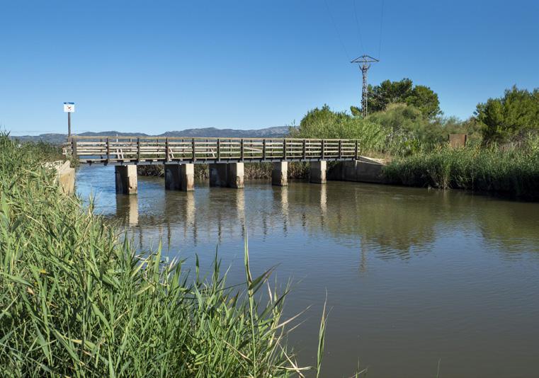
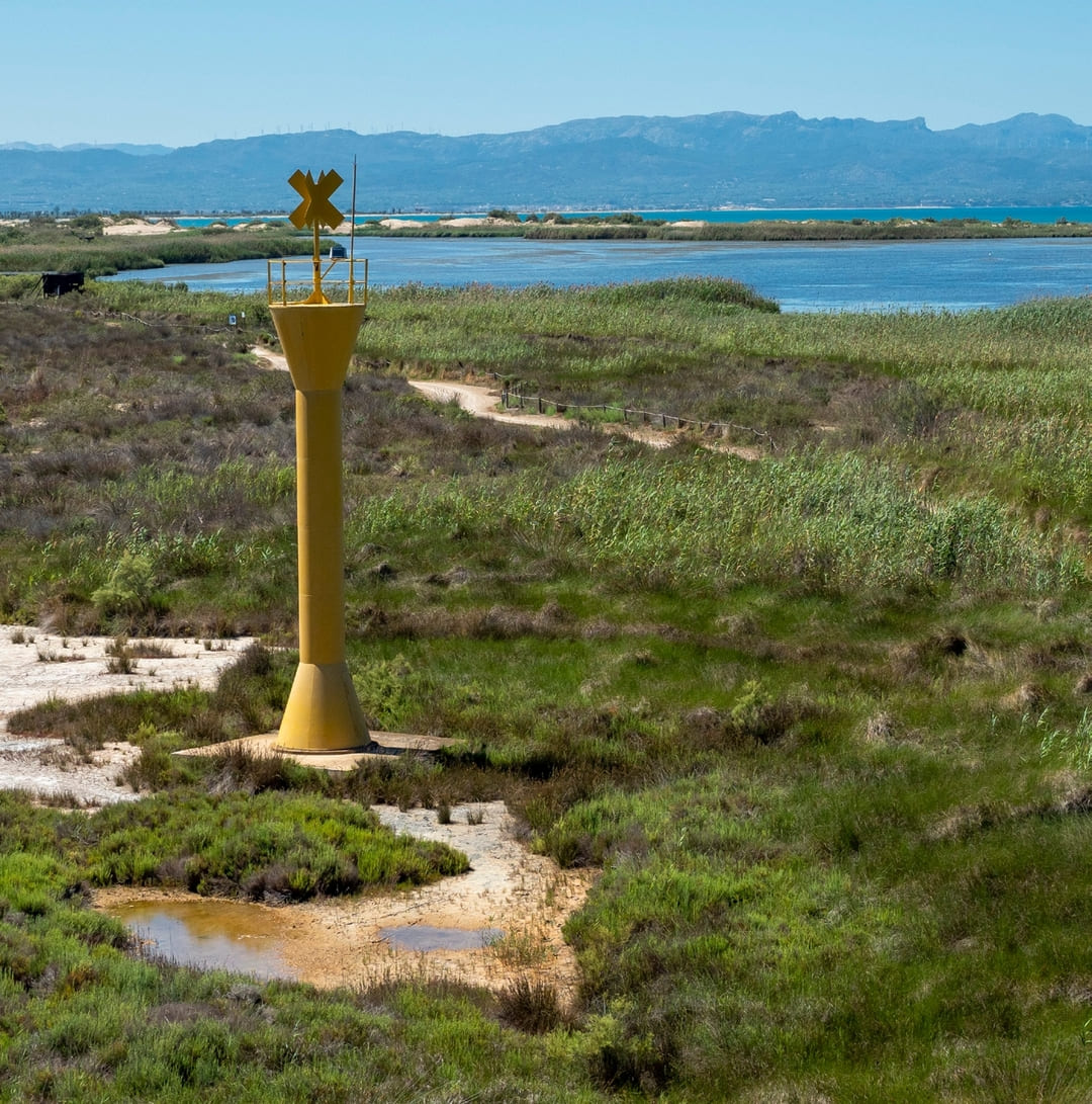
Gorge of the Bassa de les Olles
Place where the Les Olles reservoir empties its waters into the Fangar bay between the Arenal and Goleró beaches. A bridge allows you to cross the waters to make a complete circuit of the reservoir.
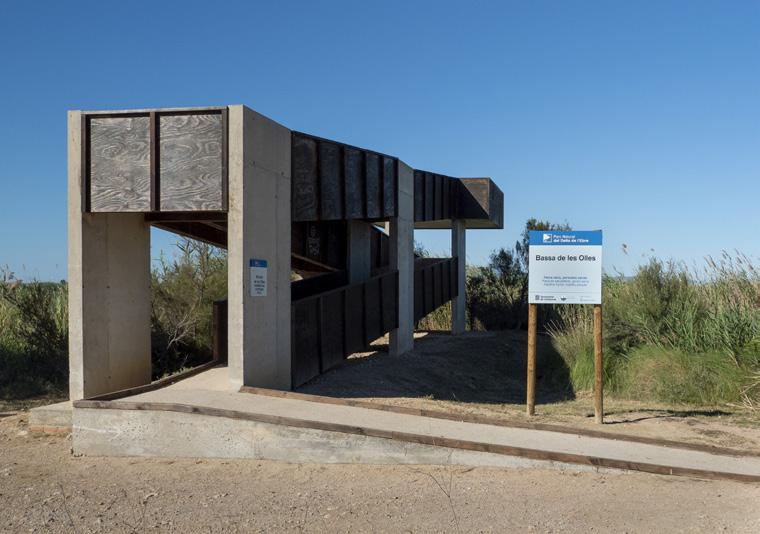
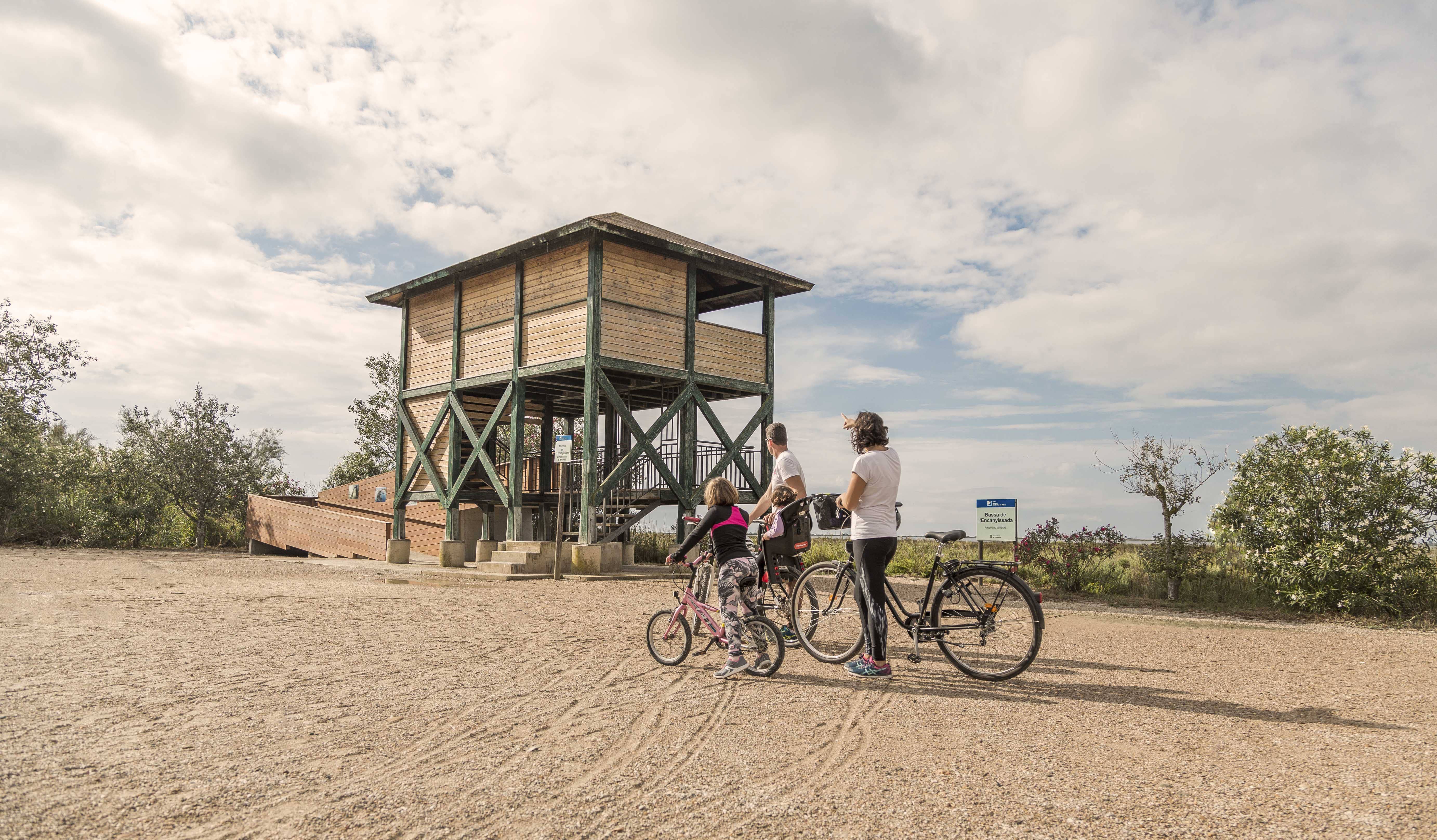
Lookout of the Bassa de les Olles
A viewpoint made of concrete and wood that elevates us a few meters above the Les Olles pond and offers beautiful panoramic views. The maximum capacity of the viewpoint is 10 people.
Tips
- You are entering a natural area shared with an agricultural population; learn about the values of the area at the Park's information centers: the Ecomuseum (tel. 977 489 679) and the Casa de Fusta (tel. 667 001 382).
- It is necessary to bring a helmet, food, and enough water. Bring your mobile phone and save battery; in case of emergency, call 112. Depending on the season, it is recommended to carry sunscreen and insect repellent.
- The terrain is completely flat, but be aware of the usual winds in the area.
- Check the weather forecast before setting out on the website meteo.cat
- It is recommended to bring material for repairing punctures.
- Use the viewpoints; they will show you the delta landscape. Bring binoculars to observe the birds.
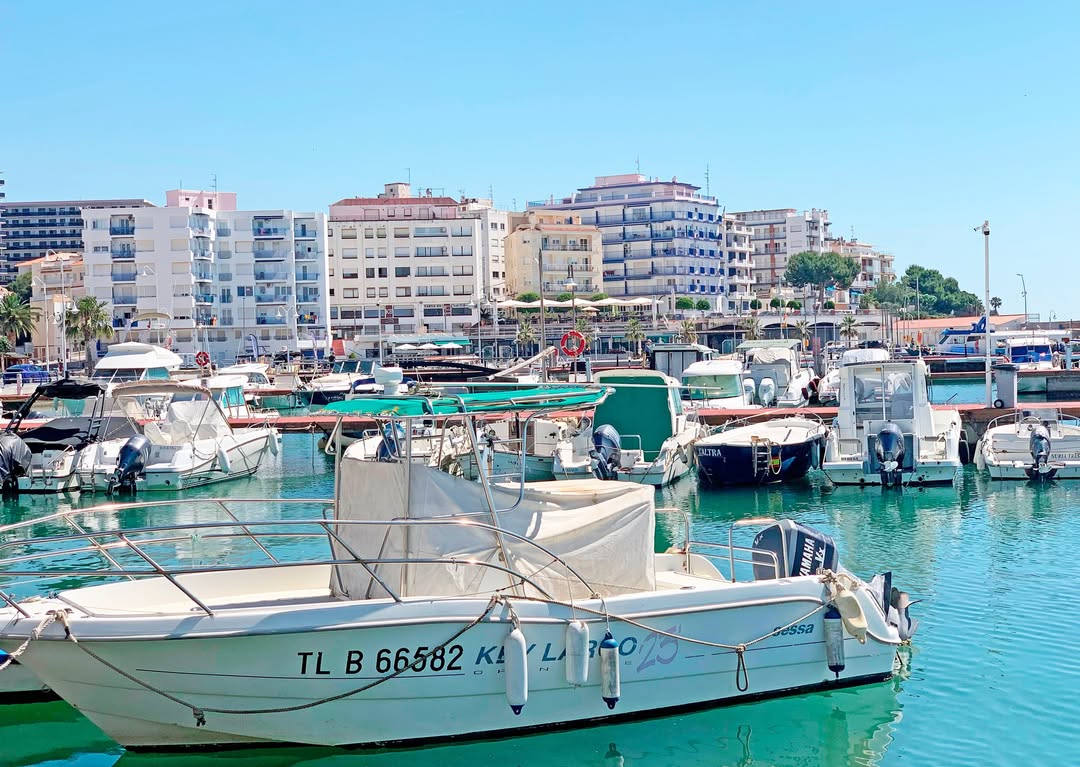
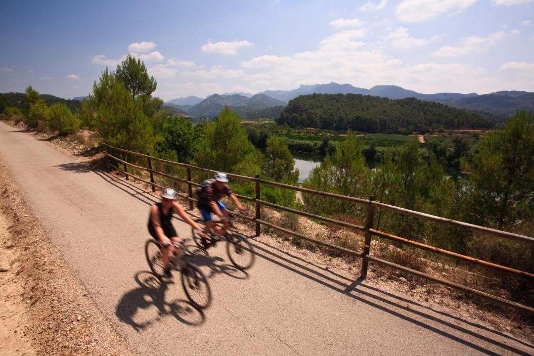
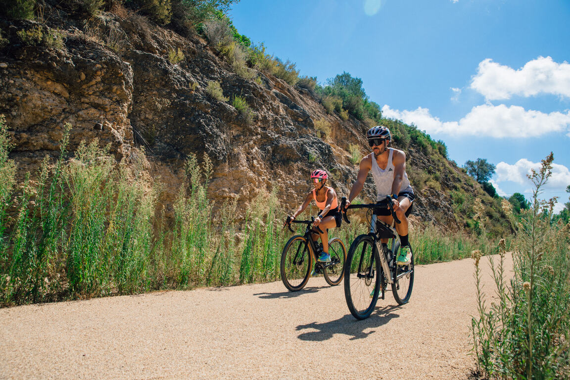
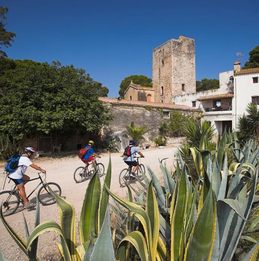
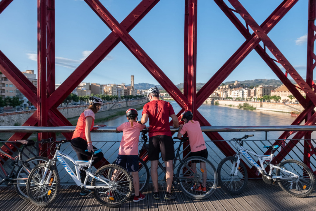
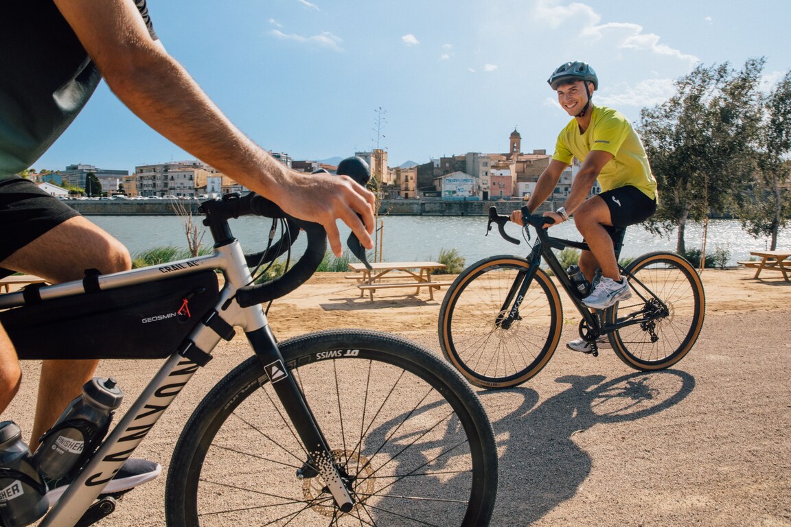
L’Ampolla, situat a la costa del Montsià, és un encantador poble mariner conegut per les seves platges i per ser la porta d’entrada al Parc Natural del Delta de l’Ebre. El poble conserva l’essència de la vida pesquera i ofereix una gastronomia centrada en el peix i el marisc fresc, amb mercats i restaurants que mostren la tradició local. Els voltants de L’Ampolla són ideals per descobrir en bicicleta, amb rutes planeres que recorren la costa, els arrossars i els camins del delta, i això permet gaudir del paisatge, la fauna i la tranquil·litat del territori.
- As it is a linear route with various possibilities to park vehicles along the way, you can adjust the itinerary according to your needs and abilities.
- Respect the signage and areas with restricted access.
- It is strictly forbidden to light fires.
- Respect the flora, fauna, and environment. Collecting animal or plant species, whether alive or dead, is not allowed.
- Camping is only permitted in established campgrounds.
- In protected areas, dogs must be kept on a leash.
Drone takeoff and landing are prohibited. - It is forbidden to dispose of waste, except in designated areas.
THE ZAFÁN GREENWAY GAME
Explore, learn, and have fun with Antoni and Clara as you travel the routes of the Zafán Valley. Each stop is a new adventure, every challenge a story waiting for you!
Comença a jugar!Along your route, you'll find challenges and activities to earn points, solve clues, or win virtual prizes.
Join our games and become an expert on the Zafán Greenway.
Available games (2)
Observe birds
Find the bird-watching spot along the route, scan the QR code, and answer three questions to earn your badge.
More informationPhotograph shells
Upload a photo to Instagram of the shells you find on the beach using the hashtag #conchasdelFalgar
More information
Weather forecast
Today, Thursday, L'Ampolla

Clear
10 km/h
0ºC max
100ºC min
No rain forecast
Next days forecast

Thursday
32º max
24º min
Friday
32º max
23º min
Saturday
31º max
23º min

Sunday
31º max
23º min
Other routes you may like...
La Ràpita - Amposta - L'Aldea - Camarles - L'Ampolla (Porta del Delta)