CN – Greenway of the Carrilet de la Cava
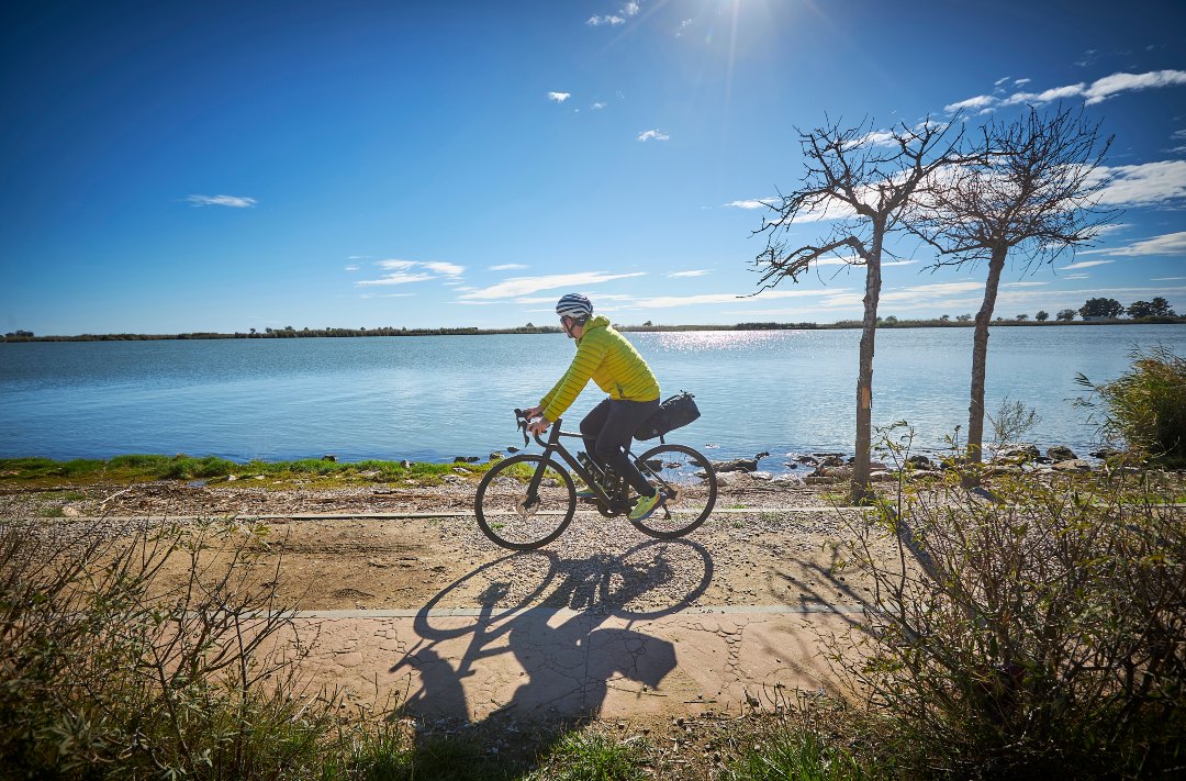
River greenway between Tortosa and Amposta, following the calm course of the Ebro between orchards and riverside landscape.
Route characteristics
- 12,47 km
- 9 m
- 19 m
- 1 m
![]() No traffic No motorized vehicles allowed.
No traffic No motorized vehicles allowed.

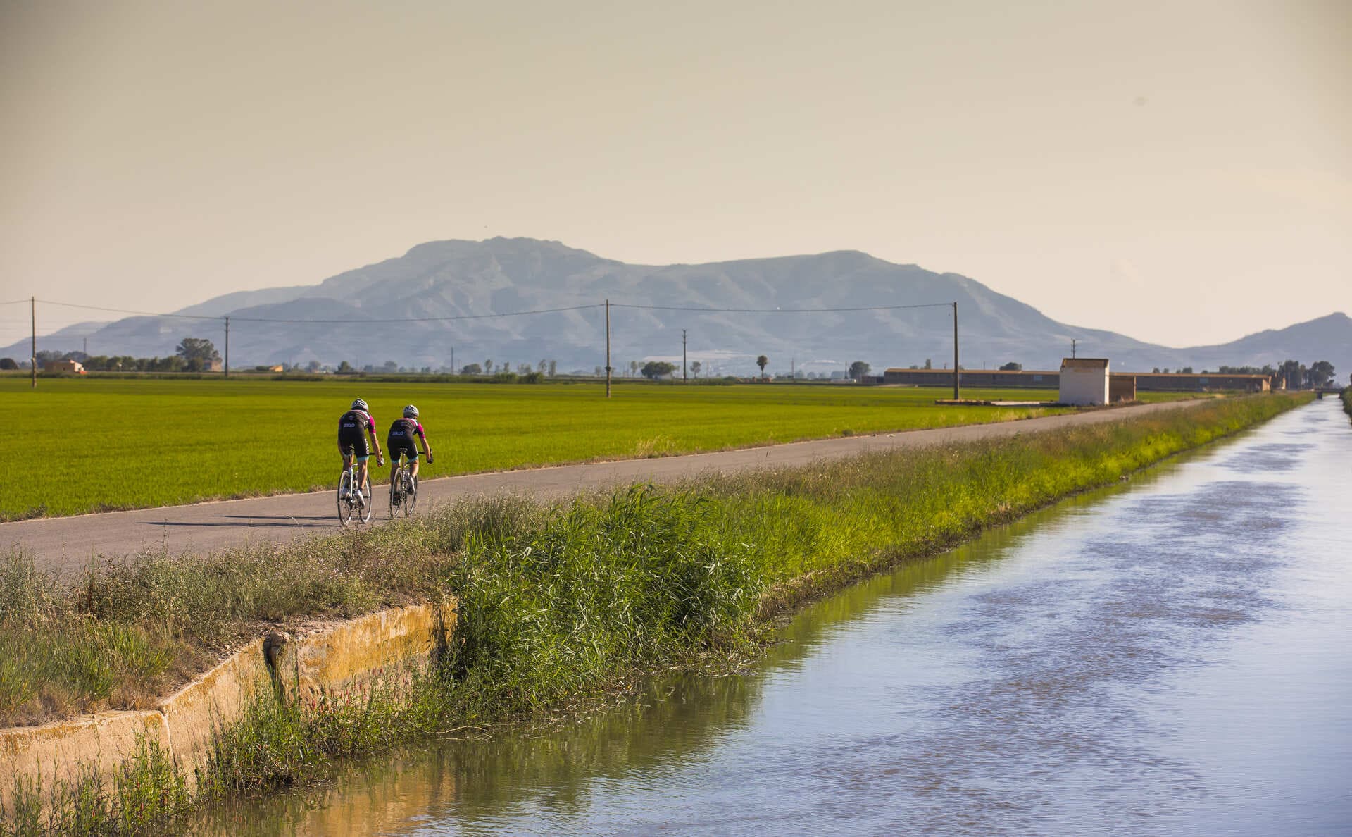
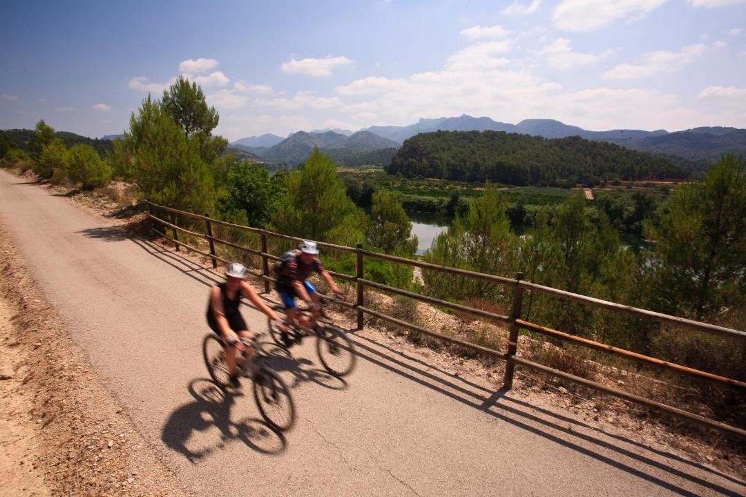
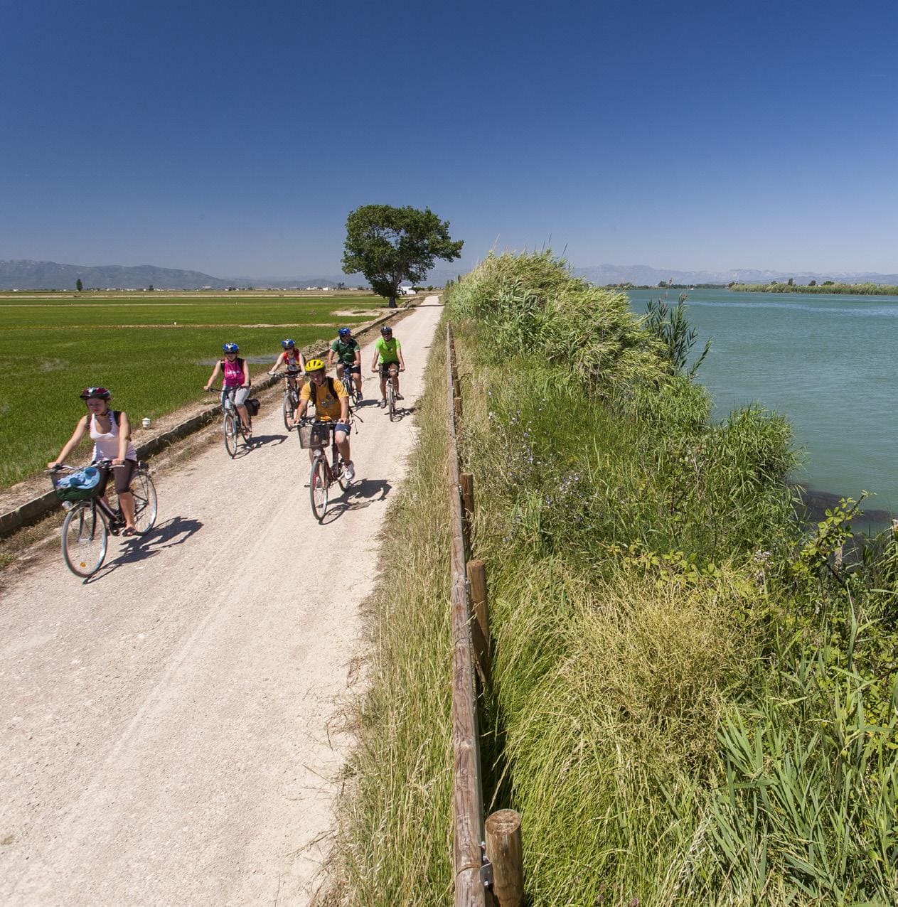
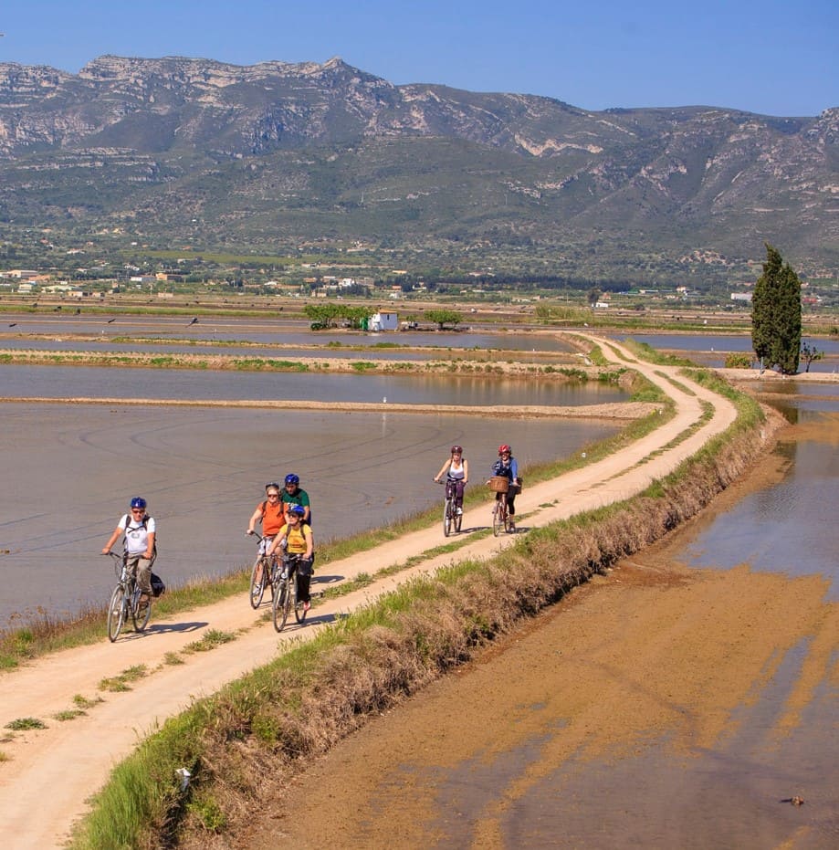
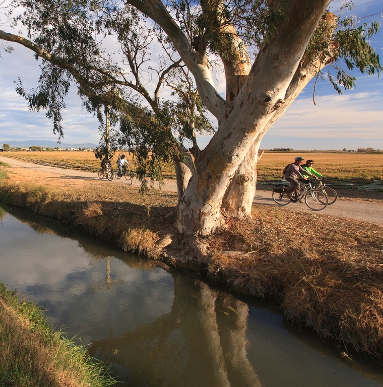
The Via Verda del Carrilet de la Cava is a 12-kilometer route that begins in the city of Tortosa and runs parallel to the irrigation canal on the left bank of the Ebro River. The Carrilet de la Cava building is located in the center of Tortosa. The Val de Zafan route connects with an urban bike path that takes us to the beginning of the Carrilet de la Cava. Along the 7 km we find different elements that belonged to the route: bridges, buildings for the lower station, old station, etc.
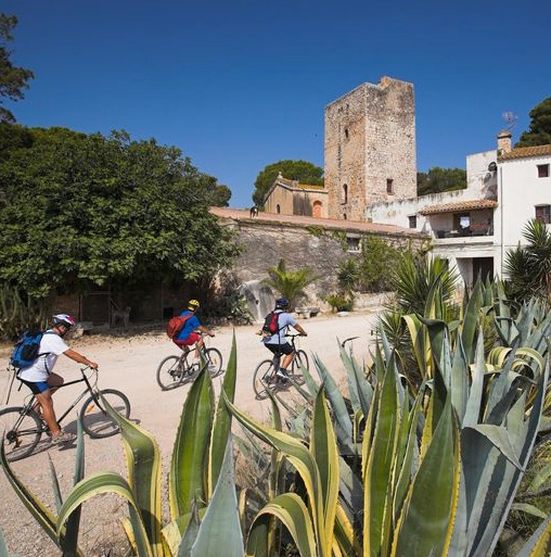
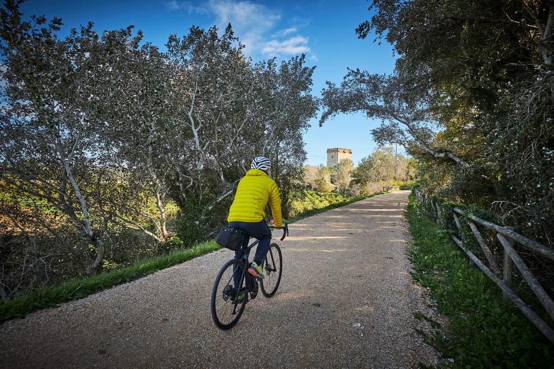
The old tower of Font de Cinquè, in Campredó, (Tortosa) stands out. Built in the 14th century in Gothic style, with the twin towers of Carrova and Sant Onofre, it guarded the estuary at the entrance to Tortosa and offered security and defense to the inhabitants of the Campredó meadows.
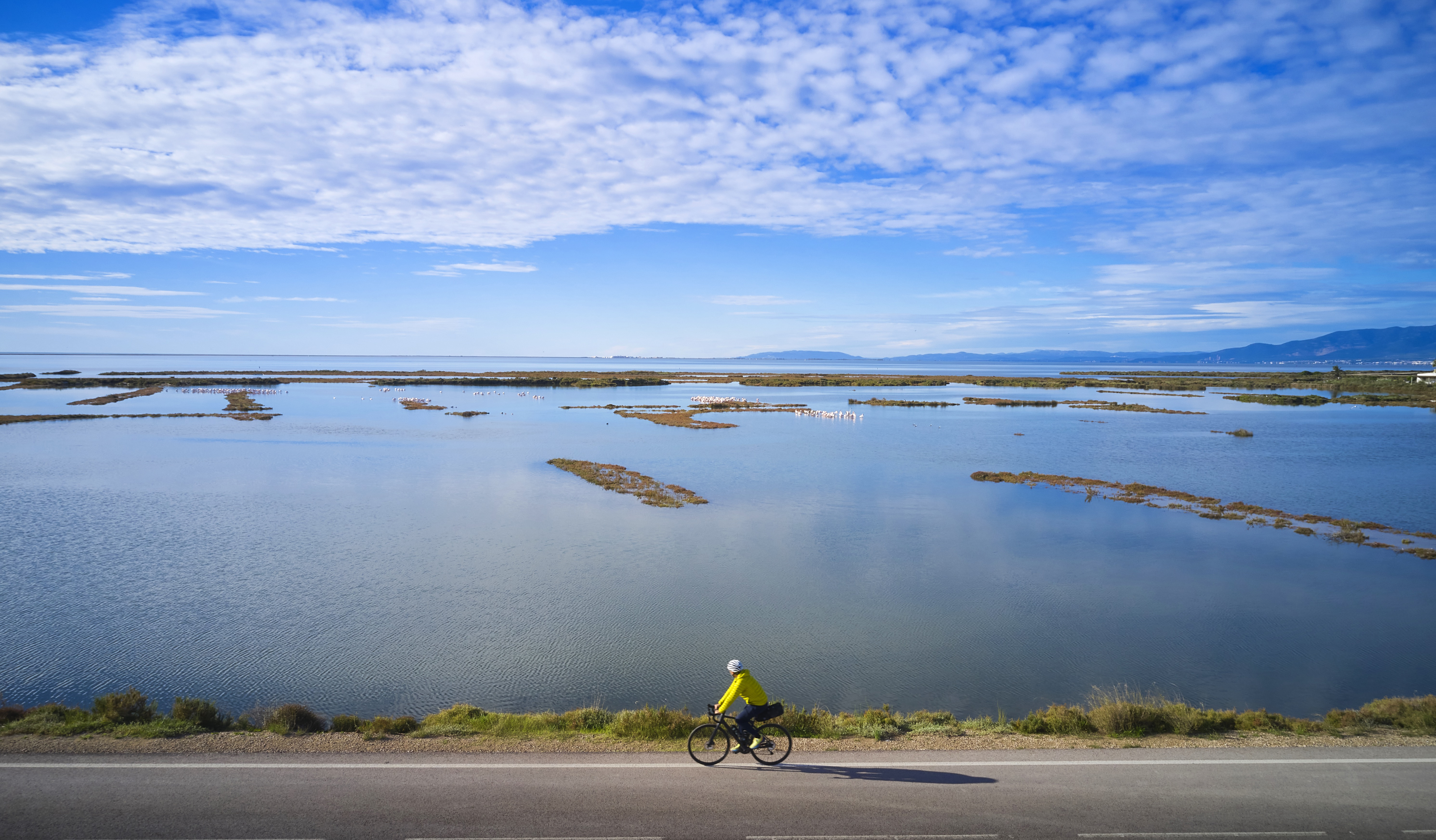
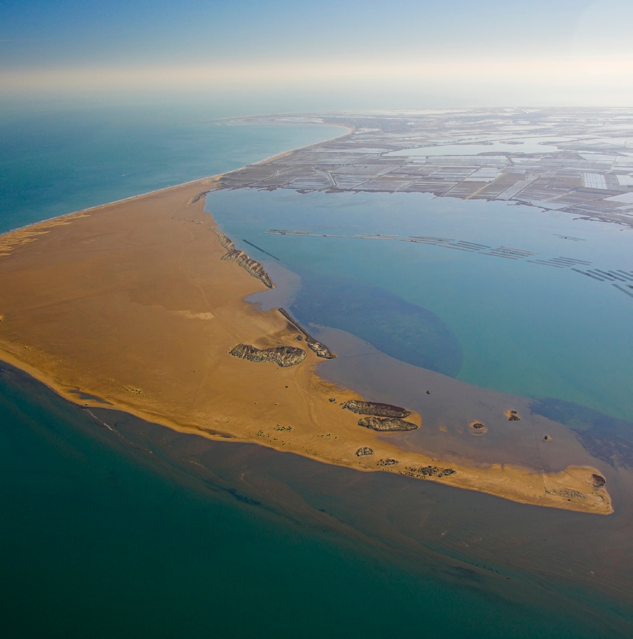
The recovered route ends in the area of La Pedrera, in the Llogaret area, to join directly with the Ebro Natural Path, which follows little-traveled paths winding through the rice fields, reaching the mouth of the Ebro in the heart of the Ebro Delta Natural Park in Deltebre.
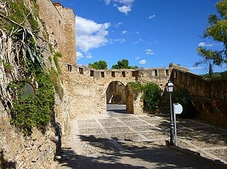
Before starting our journey along the Carrilet de la Cava Greenway Natural Path, we recommend visiting the town of Tortosa. The old town of this city was declared a Historic-Artistic Site in 1976 and preserves the atmosphere of its illustrious past. Highlights include the National Tourist Parador, Castell de la Suda (10th century) with five defensive fortifications (17th and 18th centuries), the Cathedral of Santa Maria (14th-18th centuries), the Monastery of Santa Clara (13th century), the Episcopal Palace (14th century), and the Royal Colleges (16th century), a unique piece of Renaissance architecture. In addition, it is worth noting that from this city, the greenway connects with a stretch of road with low vehicle traffic that takes us to the Val de Zafán Greenway Natural Path (Baix Ebre section).
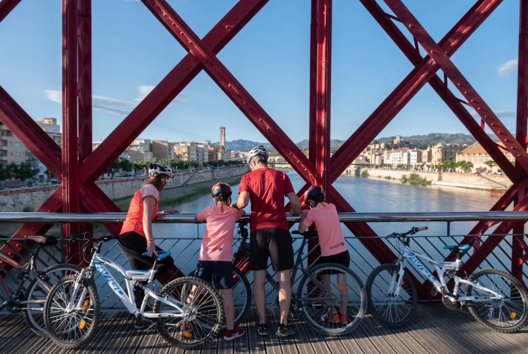
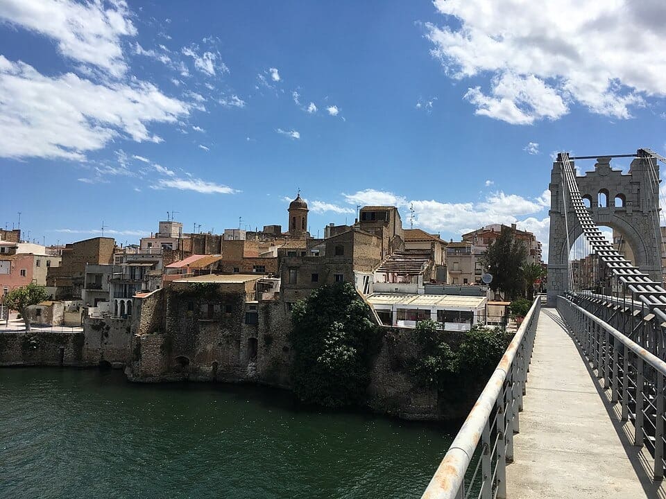
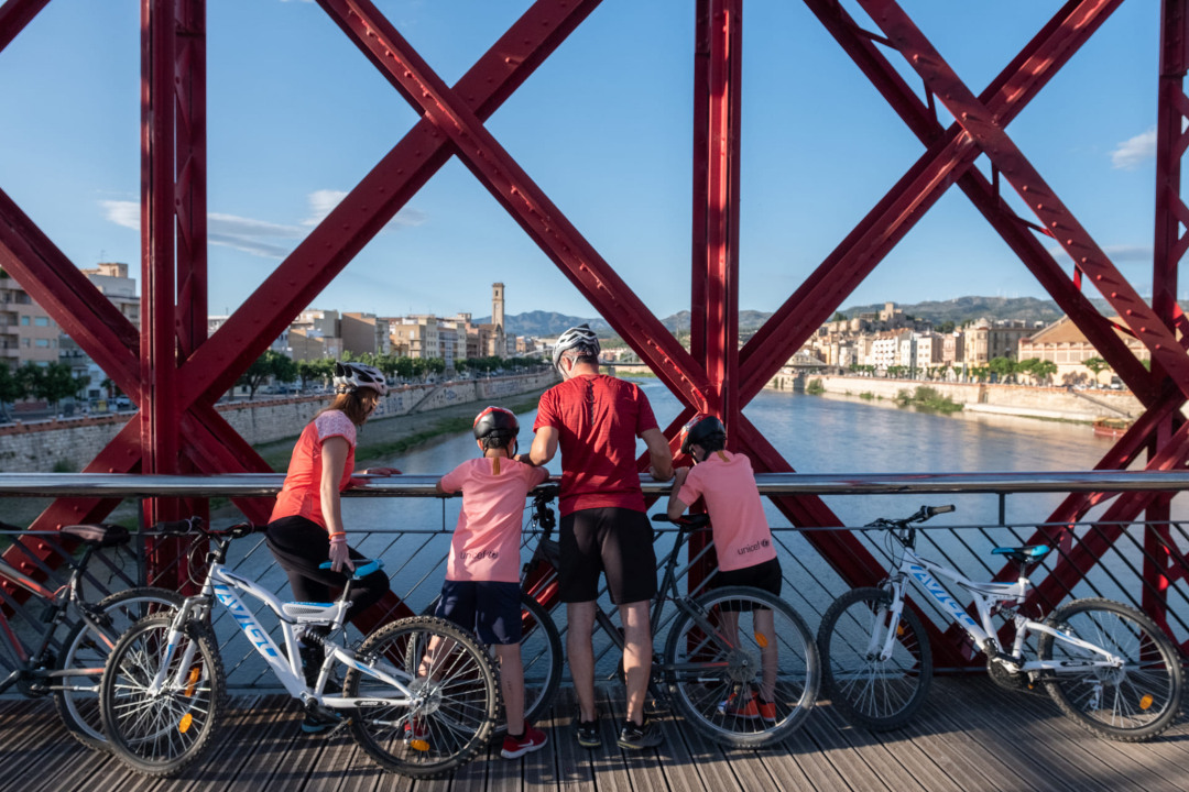
Red Bridge of Tortosa
The old railway bridge over the Ebro is a bridge in the city of Tortosa (Baix Ebre) protected as a cultural asset of local interest. It is currently used as a pedestrian viaduct.
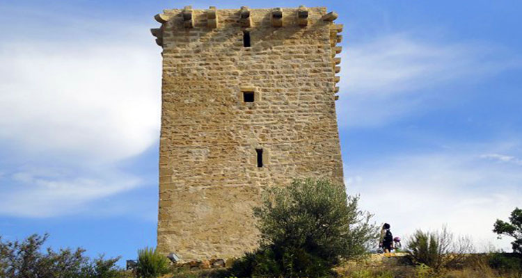
Campredo Tower
Tower located in the town of Campredó, on the left bank of the Ebro, opposite the Carrova tower. These two towers are where the old entrance to the river estuary was.
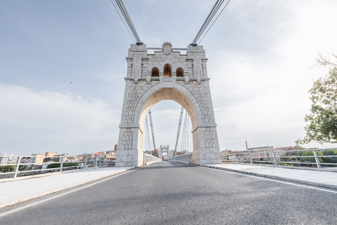
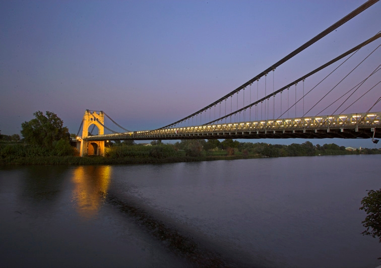
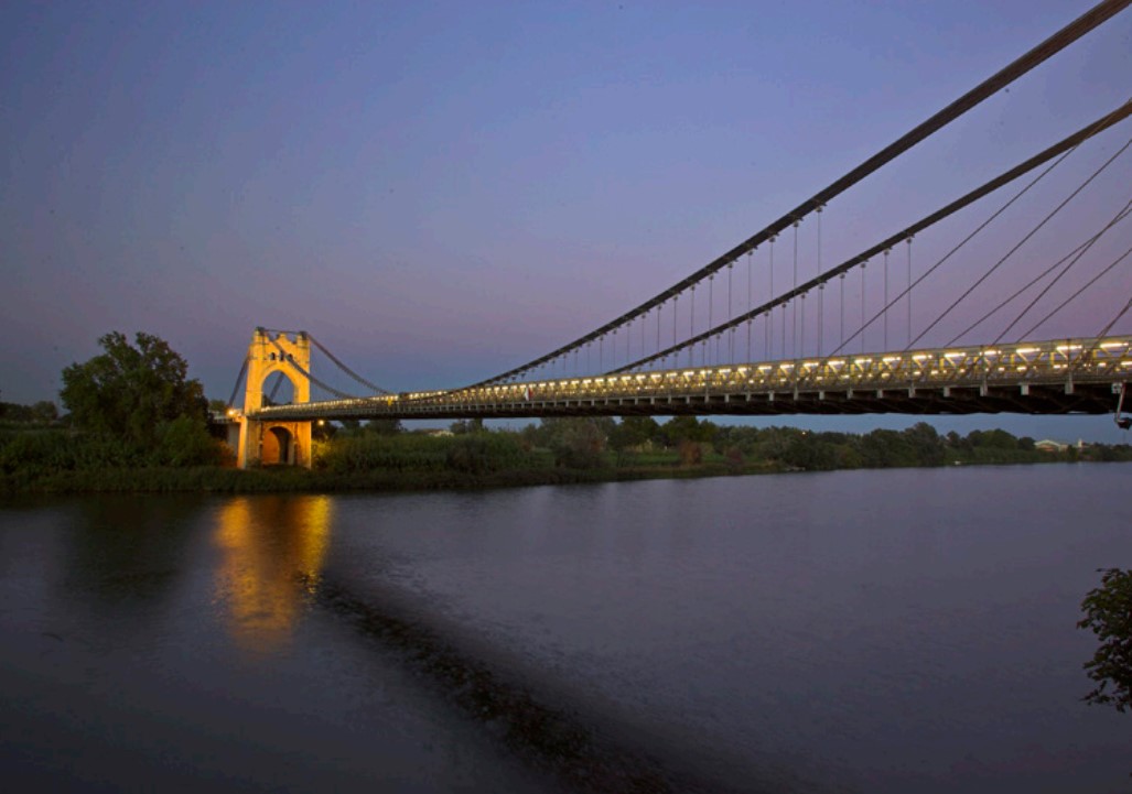
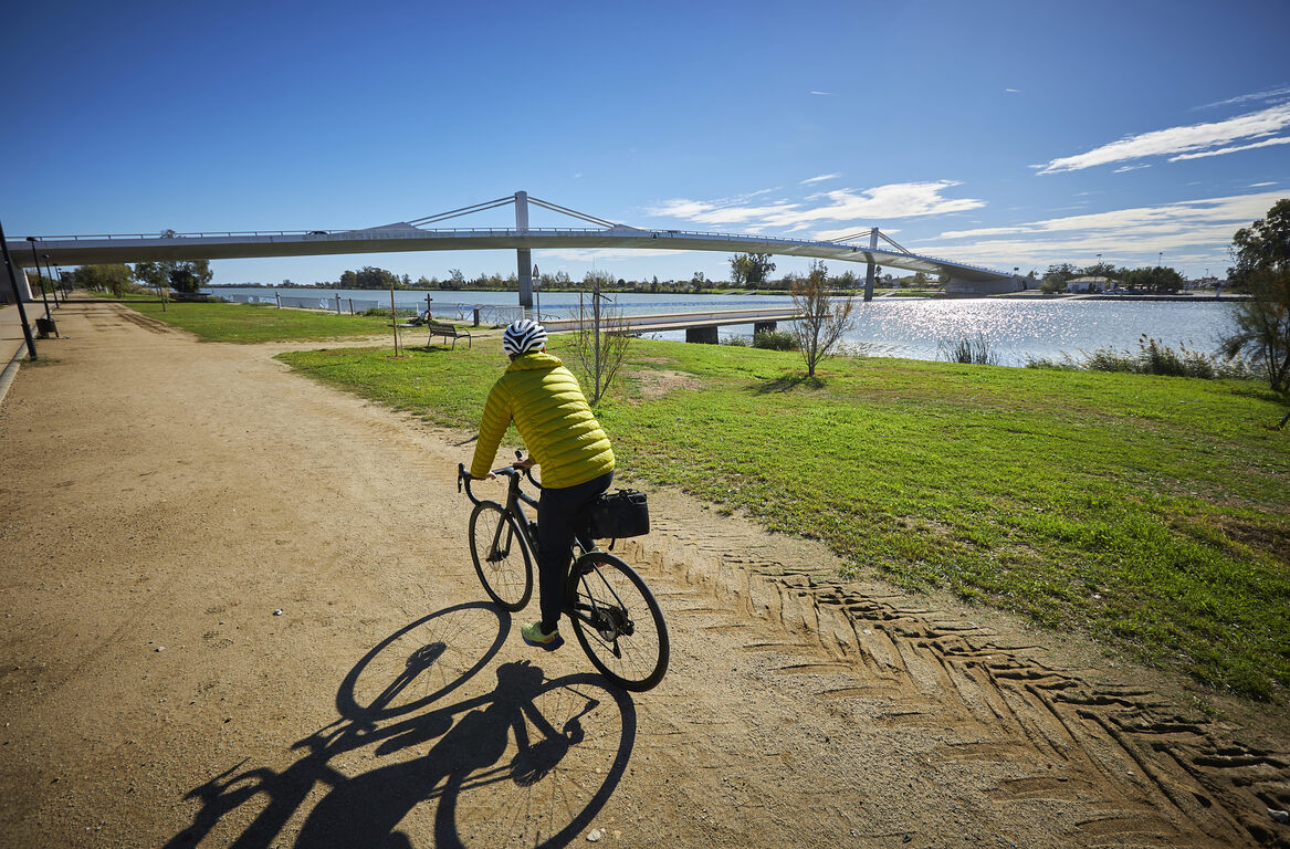
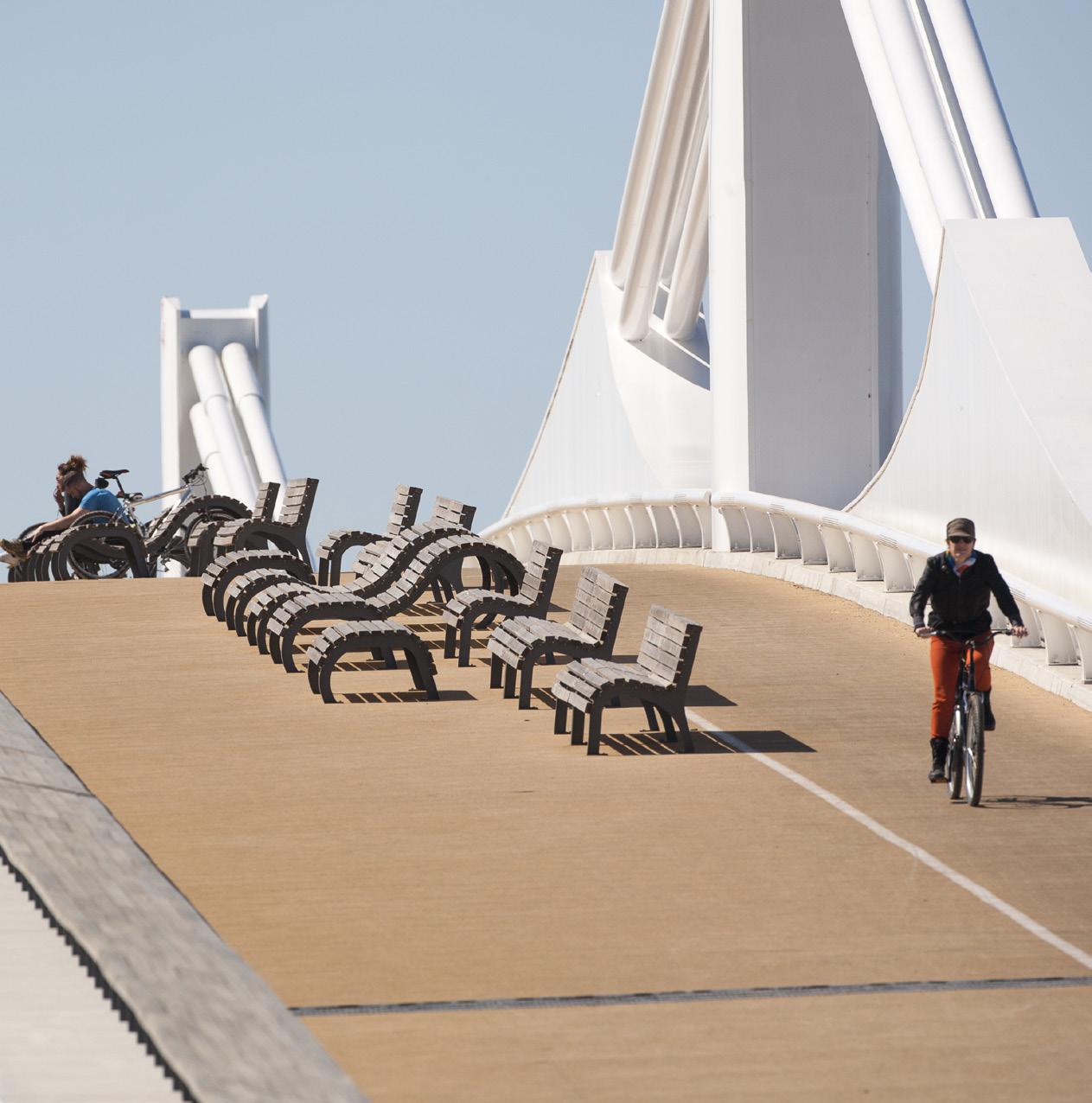
Amposta Suspension Bridge
From the River Walk you can see the Ebro River passing through Amposta and the impressive Suspension Bridge, inaugurated in 1920. The boat crossing was the traditional historical way of crossing the Ebro River.
Tips
- You must wear a helmet and bring food and enough water. Carry your phone and keep it charged; in case of emergency, call 112. Depending on the season, it is advisable to bring sunscreen and insect repellent.
- The terrain is completely flat, but be aware of the prevailing winds in the area.
- Check the weather forecast before heading out at meteo.cat
- It is advisable to carry puncture repair equipment.
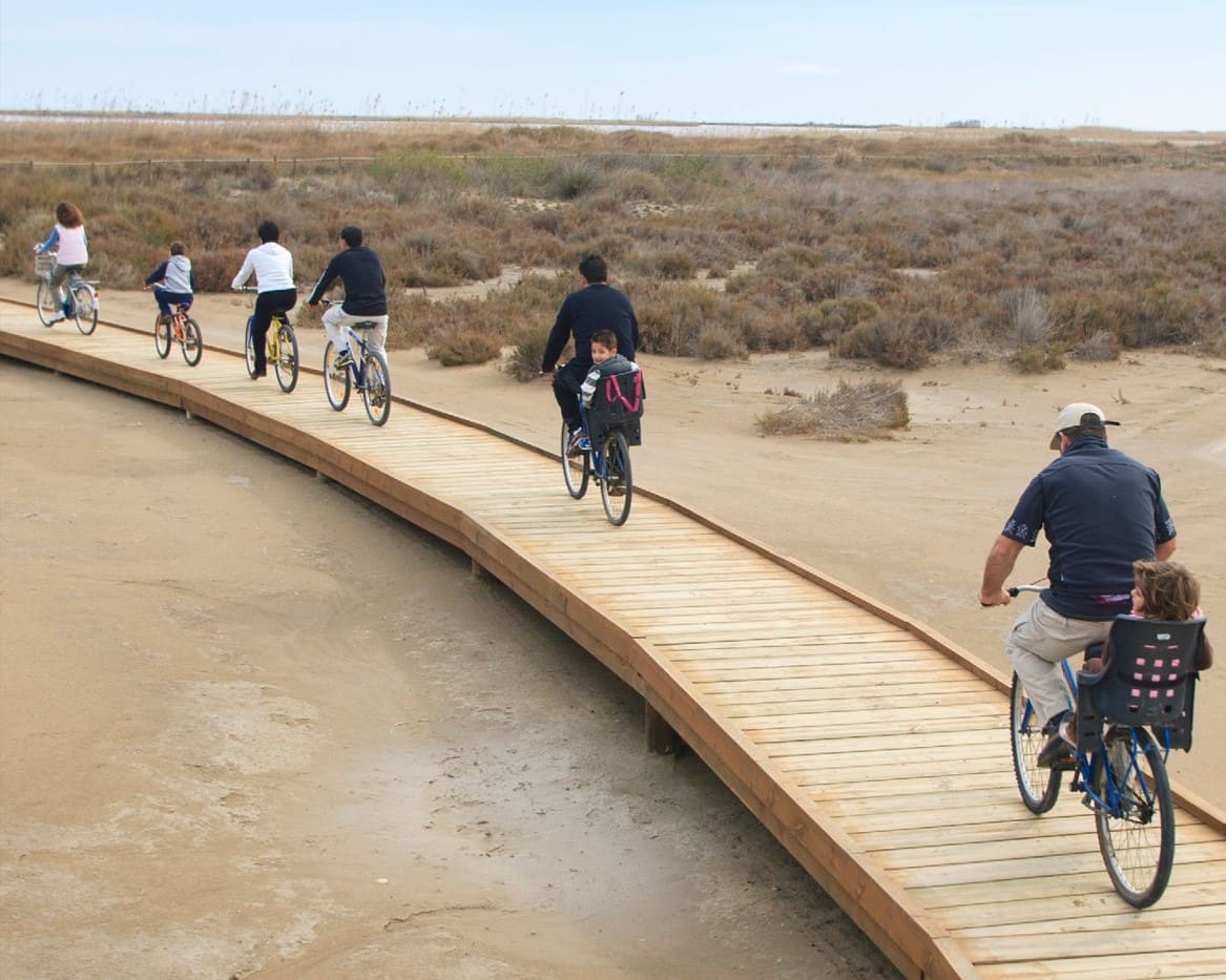
- Make use of the viewpoints, they will show you the delta landscape. Bring binoculars to watch the birds.
Amposta is a Spanish municipality and town in the province of Tarragona, in the autonomous community of Catalonia. It is the capital of the Montsià region. Located at an altitude of 8 m above sea level, on the banks of the Ebro River, the municipality has a population of 22,637 (INE 2024). Its economic activity is mainly agriculture (rice farming) and services. In the final years of the 20th century, a small but important industrial sector emerged based on the food, paper and packaging industries, furniture, and a multitude of small machinery workshops. In addition to the city of Amposta, the municipality includes the town of Poblenou del Delta and part of Balada.
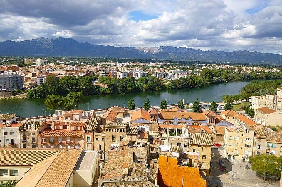
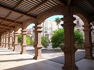
Tortosa, capital històrica de les Terres de l’Ebre, és una ciutat amb un ric patrimoni que conserva l’empremta de diverses cultures, amb la imponent catedral de Santa Maria, el castell de la Suda i els carrers del nucli antic com a principals referents. Travessada pel riu Ebre, combina l’encant del seu llegat arquitectònic amb una vida cultural activa i una gastronomia marcada pels productes de l’horta i del riu. Des d’aquí surten rutes ciclistes que permeten recórrer la Via Verda de la Val de Zafán o explorar els paisatges de l’Ebre i els Ports, convertint Tortosa en un punt de partida perfecte per combinar cultura, natura i esport.
- As this is a linear route with various parking options along the way, you can adapt the itinerary to suit your needs and abilities.
- Please respect the signage and no-access zones.
- Lighting fires is strictly forbidden.
- Please respect the flora, fauna and environment. Collecting animal or plant species, whether alive or dead, is not permitted.
- Camping is only permitted at established campsites.
- In protected areas, dogs must be kept on a lead.
The take-off and landing of drones is forbidden. - Littering is forbidden except in designated areas.
THE ZAFÁN GREENWAY GAME
Explore, learn, and have fun with Antoni and Clara as you travel the routes of the Zafán Valley. Each stop is a new adventure, every challenge a story waiting for you!
Comença a jugar!Along your route, you'll find challenges and activities to earn points, solve clues, or win virtual prizes.
Join our games and become an expert on the Zafán Greenway.
Available games (2)
Observe birds
Find the bird-watching spot along the route, scan the QR code, and answer three questions to earn your badge.
More informationPhotograph shells
Upload a photo to Instagram of the shells you find on the beach using the hashtag #conchasdelFalgar
More information
Weather forecast
Today, Monday, Tortosa

Clear
8 km/h
25ºC max
25ºC min
No rain forecast
Next days forecast

Tuesday
32º max
24º min
Wednesday
33º max
22º min
Thursday
33º max
21º min
Friday
35º max
21º min
Other routes you may like...
La Ràpita - Amposta - L'Aldea - Camarles - L'Ampolla (Porta del Delta)